Looking down on top of the harbour.
Image credit: drew/amj
Looking down on top of the harbour.

From the east side of the natural harbour.

From the 13th tee.

An angry natural harbour.

The mist starts to come in beneath the fort.

One of the ditches, now used as an obstacle at the 13th hole, which is called The Clibet.

On the western side.

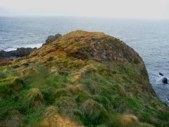
Natural harbour, east side.
Car parking, for this site, can be found at the sadly unused and abused Tarlair Outdoor Swimming pool, Macduff. I remember, as a child, this place being crowded in the 70’s and later playing at it’s music festivals. Fortunately the Moray Firth coastal path, going east, is still used and leads straight to the fort after a short climb. At the top is the 14th tee, Macduff Golf Course, slightly further on is the 13th hole.
The first of the ditches is immediately behind the hole on the coastal side. Two ditches can be seen, one easily one more filled in. This small fort was probably wooden with tremendous all round views. A natural harbour can be seen on the eastern side whilst sheer cliff face is to the west. Therefore only one way in, one way out.
Watch out for falling golf balls at the unlucky 13th.
Visited 10/08/09.
“Picts used the promontory of Cleaved Head as a safe refuge. On the promontory they built a wooden fort with ditches at the landward end. Below the fort the Picts used the beach as a natural harbour. The Picts were known as great fishermen. Many carved symbol stones from the Pict Age show a “Pictish Beast” which is thought to be a dolphin.”
Banffshire Maritime and Heritage Association.
(Another example of later peoples using something that was already there.)
More details of the wind swept place.