Looking north next stop Orkney!
Image credit: drew/amj
Looking north next stop Orkney!

The western flank. Nearest natural harbour is a mile east at Sandend.

Part of the northern rampart. You climb the cliffs and then are faced with this. No luck!

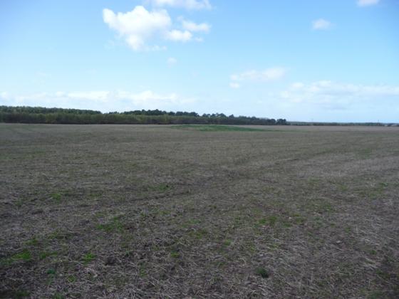
The forts eastern flank.

The ditch at the forts southern point.
Crathie Point is one of a number of cliff forts in the area. The Iron Age forts at Durn Hill, Portknockie and Burghead being the nearest. All that is left at this magnificent setting is a northern rampart and a ditch at the southern point. Maybe the ruined wall is the remnants of the entrance. Both sides of the fort are sheer cliff face. Therefore the nearest natural harbour is at Sandend, 1 mile east.
To reach here leave the A98 before Cullen and follow the signs for Findlater Castle. Car parking is there. Just follow the path, the Buchan Coastal Walk, past the doocot and castle (which in it’s day must have been some place, stunning!) for about 1 mile. The ruins of the old wall/entrance mark the start of the fort. A very worthwhile walk and the coastal scenery is wonderful!
Visited 24/8/09.
All the details about the remains of this fort which is situated just east of the highly spectacular ruins of Findlater Castle.