|
|

|
|
Lower NeuaddStanding Stone / Menhir
|
||||||||||||||||||||||||
|
|
|
Images (click to view fullsize) |
|
|
Fieldnotes |
|
|
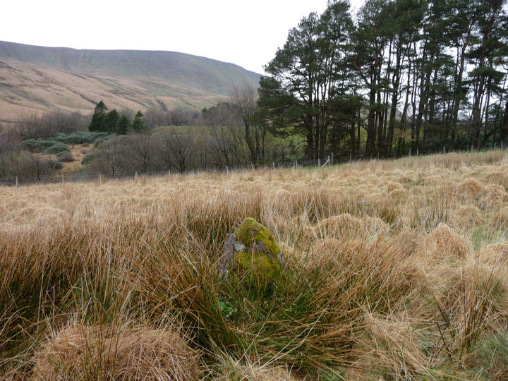
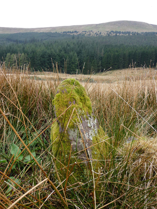
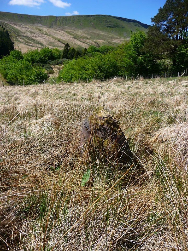
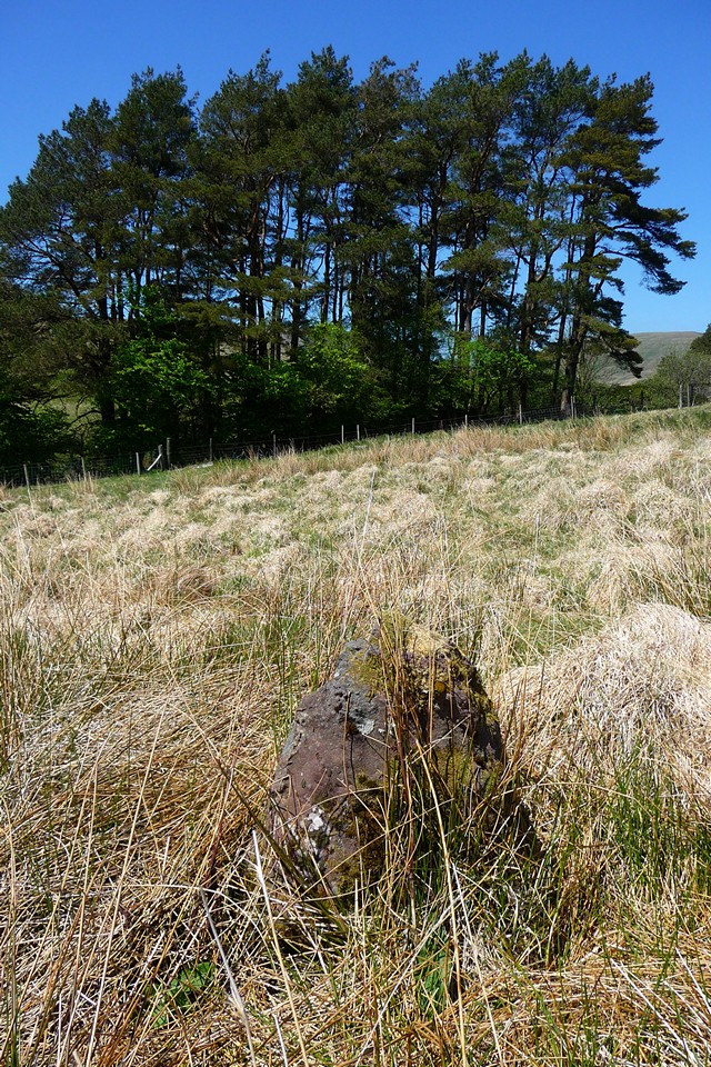
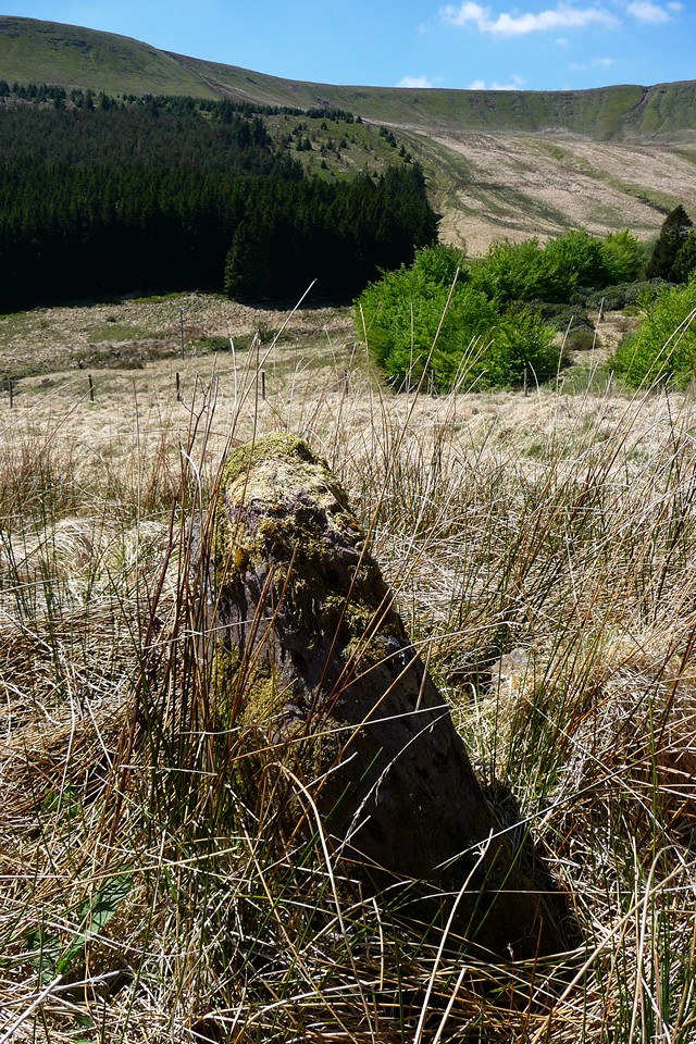
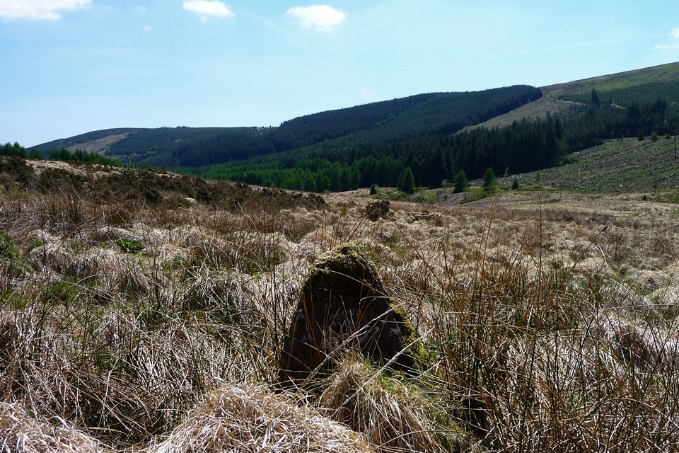
Directions, after reading Carl's notes: The little rounded stone in the trees isn't the standing stone, it's probably a natural boulder. To find the standing stone, there are two gates next to each other near the filter house, south of the reservoir. The right hand gate leads onto a narrow strip of land, where the stone Carl saw can be seen under the trees. The standing stone is through the left hand gate. Walk down the field, heading slightly SW and it's about half way down the slope between the gate and the fence at the bottom of the field - the OS 1/25000 is accurate in showing its position. The stone isn't very tall and may be hidden by reedy grasses. |
 Posted by thesweetcheat
30th April 2012ce |
|
Visited 28.9.10 After spending the afternoon with Karen and Dafydd on the nearby Brecon Mountain Railway I took the opportunity to visit this site. From Merthyr follow the minor road north through Pontsticill, which runs along the western edge of the reservoirs. When you reach the fork in the road (right towards Talybont-On-Usk) take the left fork. Eventually you come to a Forestry Commission car park (not named) which has a lovely little waterfall on the left hand side. Keep heading north and you come to a second Forestry Commission car park signposted Neuadd. Park here and there is an information board which has the standing stone marked on it. You will then need to walk north along the track (no parking beyond car park) over the cattle grid. You will then come to a locked metal barrier where a rough track goes off to the right – stay on the flatter tarmac road towards the derelict buildings. After about 10 minutes you will arrive at the buildings and a wooden gate. Go through the gate and immediately in front of you, just to the left, is a line of trees. Look amongst the trees and you will easily see a squarish stone about 0.5 metres in diameter. I took the opportunity to sit on the stone for a rest (and admire the view) but fell off!! **This stone is not the same as shown in the photos. I looked all around the 'scrubby' bit of land (to the left of track on approach to buildings) but was unable to spot it. The grass was over knee height so I guess it was too well hidden? Therefore I am unsure which stone is the one mentioned on the notice board?** It is a bit of a trek getting to this stone but a pleasant walk on a nice sunny day – not much fun in the rain I would imagine! |
Posted by CARL 5th October 2010ce |
|
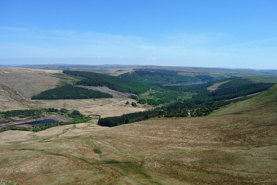
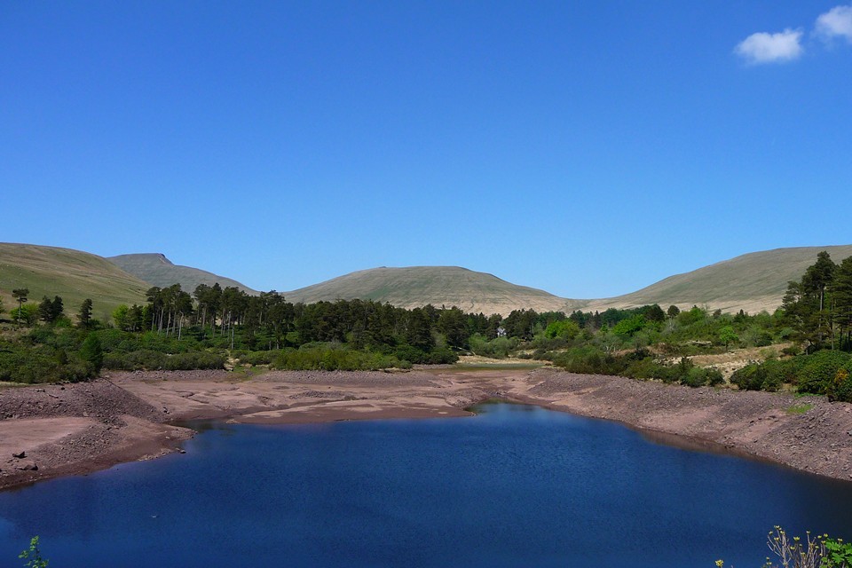
Visited 22.5.2010 in very hot weather, approaching from Fan y Big along the Gap Road. After a bit of welcome shade near the filter house, I emerged blinking into the parking area to the south-east of Lower Neuadd reservoir. It took me a while to clock the stone, which is pretty small and barely sticks its head above the grass. It stands in a scrubby area right next to the parking area and the views north to the high peaks are blocked by a line of conifers. My initial reaction (given how far I'd walked to get here from Storey Arms) was "is that it?". But pause a moment. Here we are in the valley of the Taf Fechan, which starts from springs on the slopes of Pen y Fan itself, the highest point in Southern Britain. These days, the Taf Fechan has been dammed twice by the time it gets to this point in order to provide water for Merthyr, but 3 or 4,000 years ago it would have been rushing down unfettered straight from the mountain. It seems pretty likely that a stream running from such an undoubtedly revered place (witness the summit cairn on Pen y Fan) would have had some significance to a people for whom the elements and the landscape were a hugely important part of their lives. A cluster of bronze age cairns can also be found further upstream, now encroached by the waters of the Upper Neuadd reservoir. So this humble little standing stone, perhaps not much to look at itself, sits next to a stream that may have been sacred and acts as a marker, pointing the way up to an unarguably impressive landscape of peaks. Worth coming after all... |
Posted by thesweetcheat 3rd June 2010ce Edited 4th June 2010ce |
Miscellaneous |
|
|
Not much info available on this one, 1:25000 OS map marks it as Standing Stone, Coflein is not exactly overwhelming: "A slightly leaning standing stone, 1.0m high by 0.9m by 0.4m." http://www.coflein.gov.uk/en/site/305684/details/LOWER+NEUADD+RESERVOIR+STONE/ |
Posted by thesweetcheat 29th December 2009ce |