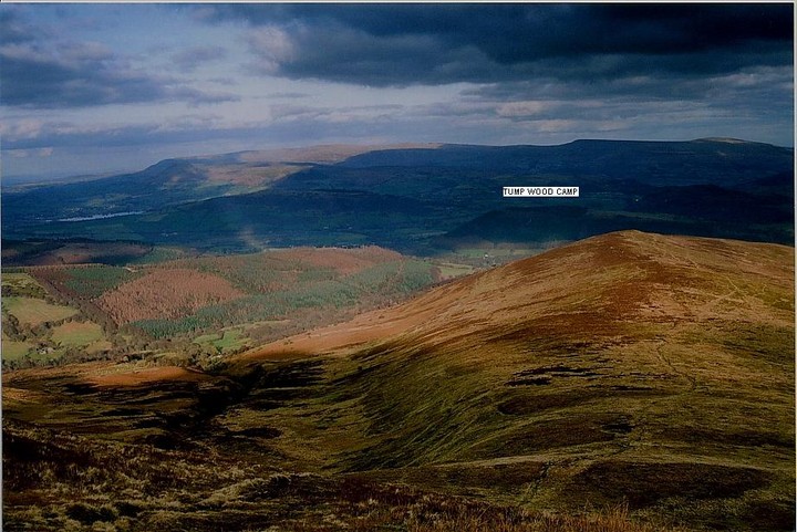
Tump Wood Camp
Hillfort
 Image © Robert Gladstone Image © Robert Gladstone
|
| Nearest Town: | | Brecon (10km WNW) | | OS Ref (GB): | | SO113215 / Sheet: 161 | | Latitude: | | 51° 53' 4.19" N | | Longitude: | | 3° 17' 19.99" W |
|
|
Web searches for Tump Wood Camp
|
|
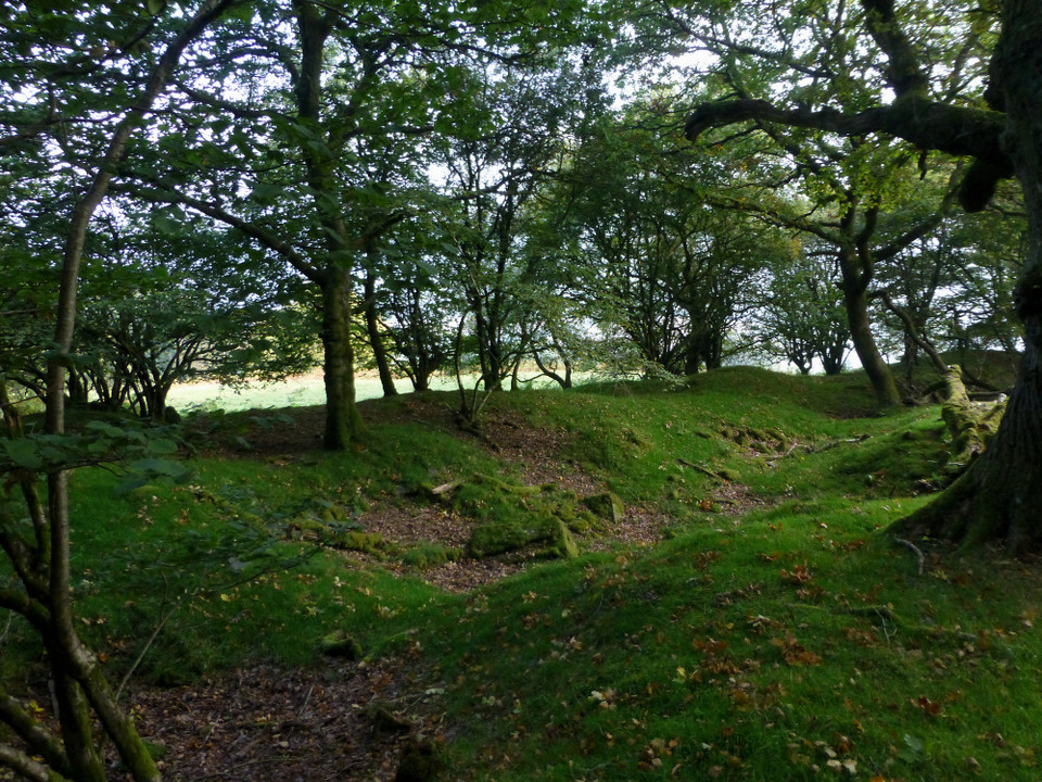
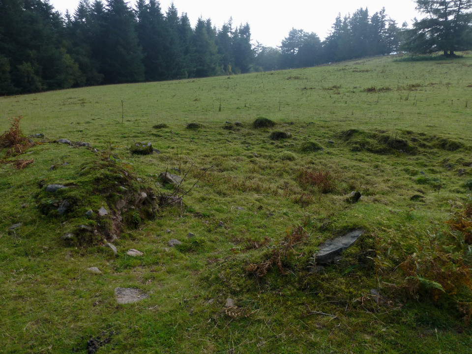
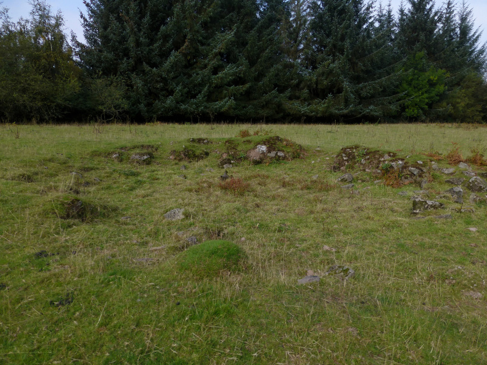
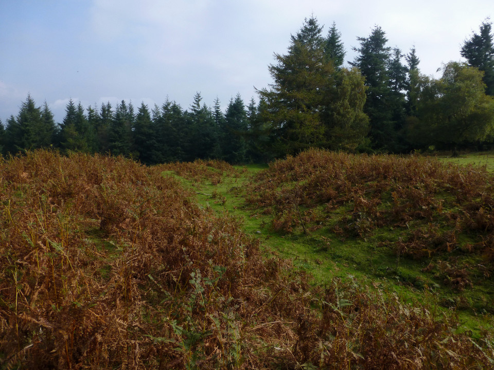
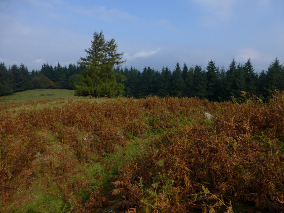
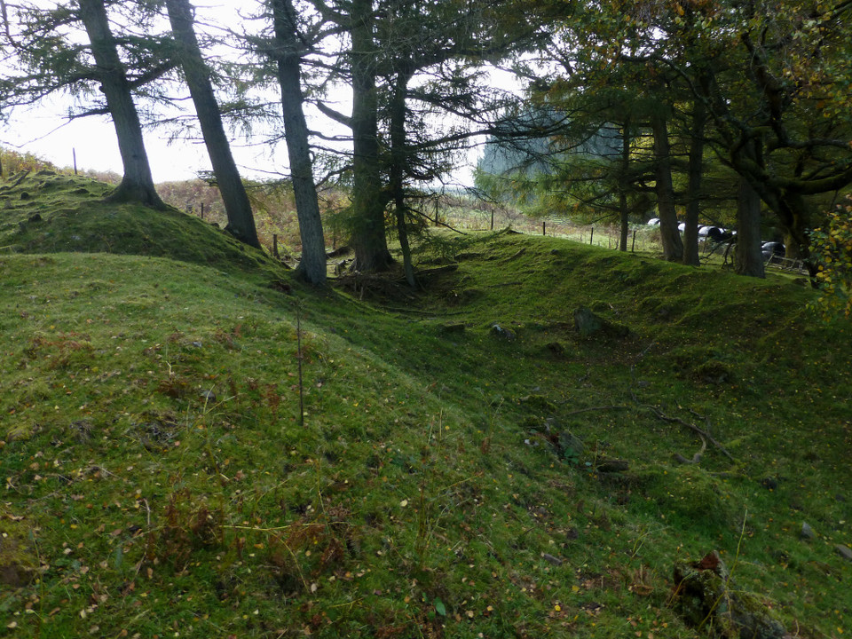
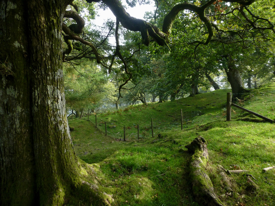
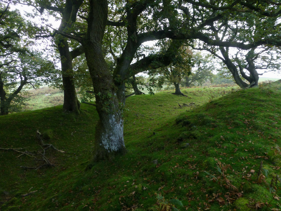
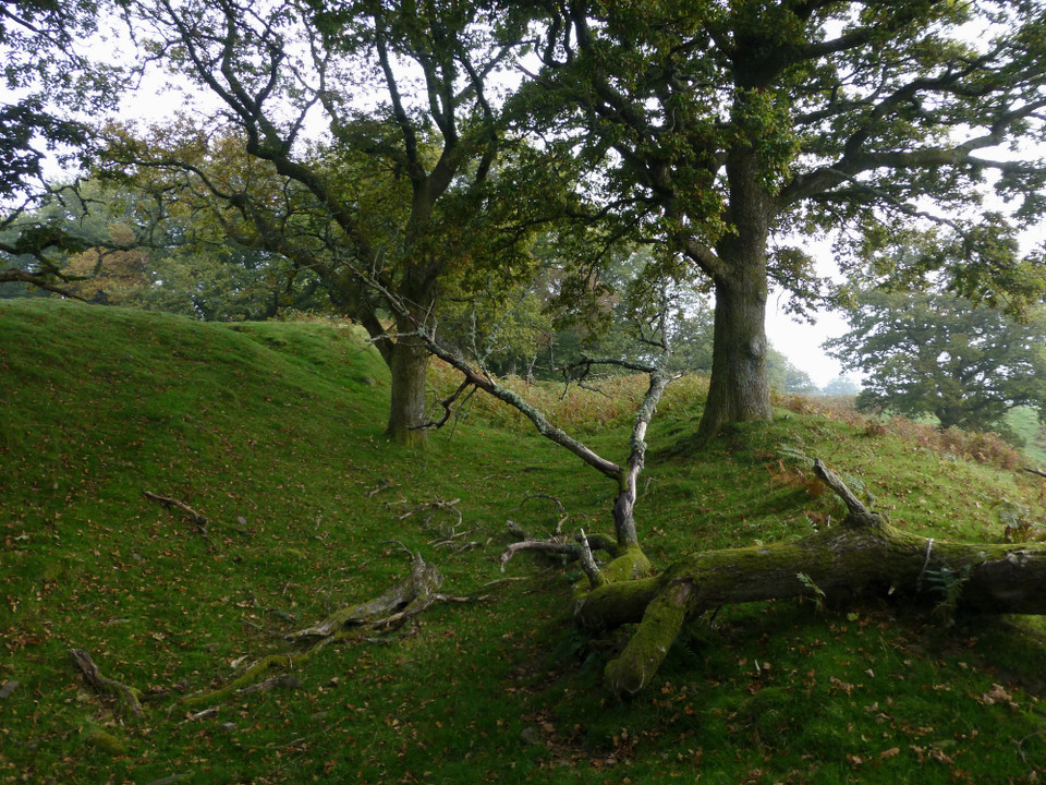
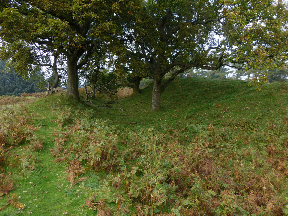
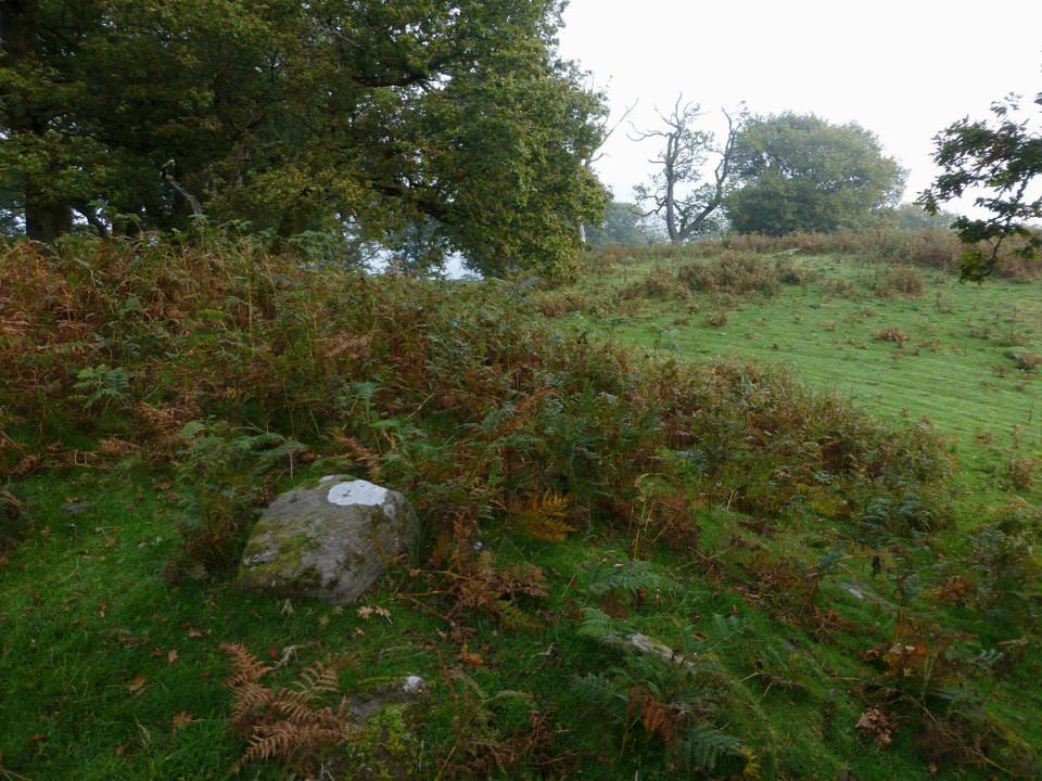
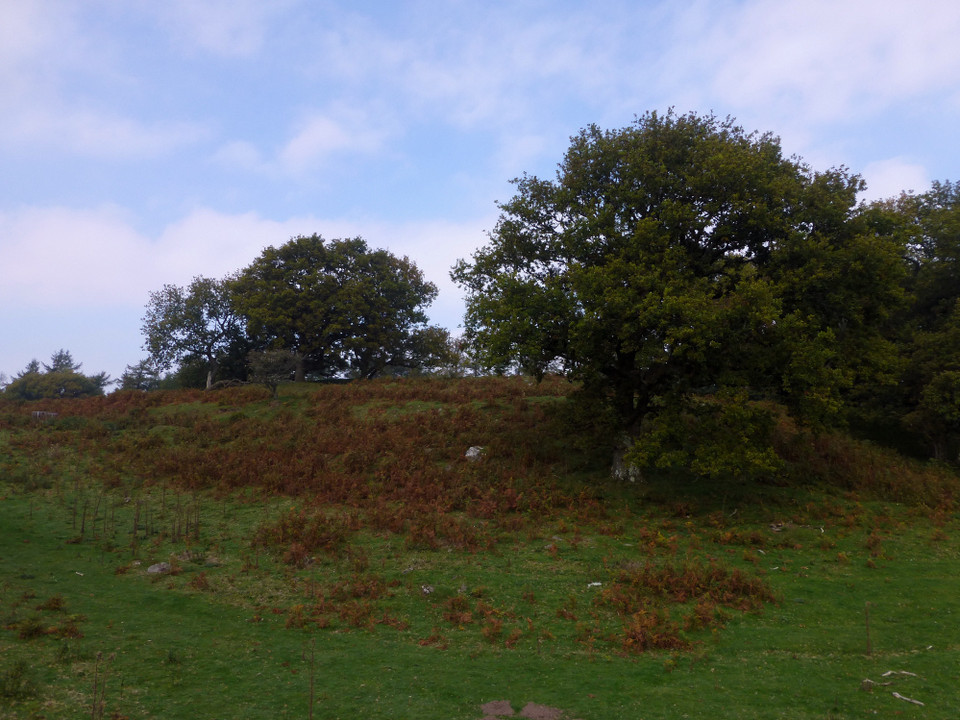
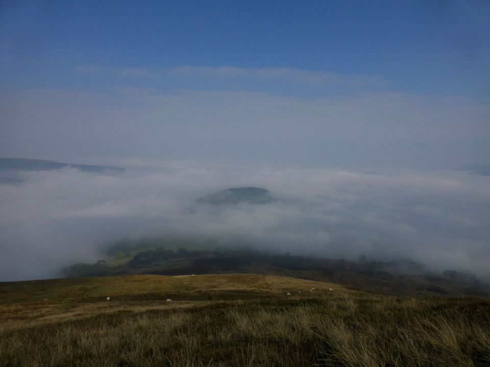
There are two separate Iron Age earthworks on this hill. Coflein descriptions:
Tump Wood Camp (SO11272150)
Tump Wood Camp is a multivallate hilltop enclosure, with an internal area of c.120m by 68m.
Pen-y-Wenallt enclosure (SO11162095)
The partly bulldozed, sub-rectangular enclosure at Pen-y-Wenallt measures 55m N-S by 42m, and is defined by scarps, or banks, and ditches.
|
 Posted by thesweetcheat
13th August 2012ce
|
|