Image Credit: Environment Agency copyright and/or database right 2015.
Image credit: Open Source Environment Agency LIDAR
Image Credit: Environment Agency copyright and/or database right 2015.

Southern Bank

southern edge

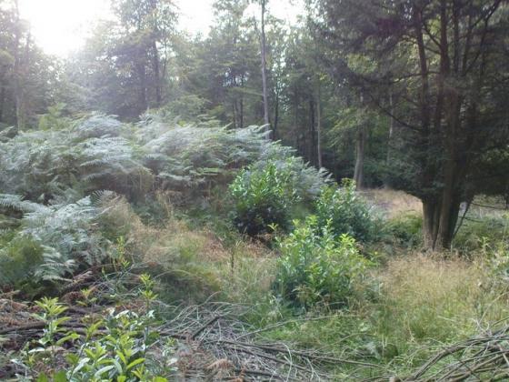
View of inside of site looking from original entrance
Earthwork remains of an Iron Age univallate hill fort. Greatly worn down now The banks are now covered in woods and shrubs and are best preserved on the southern side. The original entrance still exist on the south east corner.