The cave from the seaward side. Note the huge chucks of shattered limestone strata that were once part of a seabed.
Image credit: A. Brookes (30.5.2016)
The cave from the seaward side. Note the huge chucks of shattered limestone strata that were once part of a seabed.

This is one of the biggest caves on the cliffs of South Gower.

The stalagmite at the back of the cave, apologies for shaky image – there wasn’t much light back here.

The back of the cave. The thing that looks like a tree stump is actually the base of a stalagmite.

The main “space”.

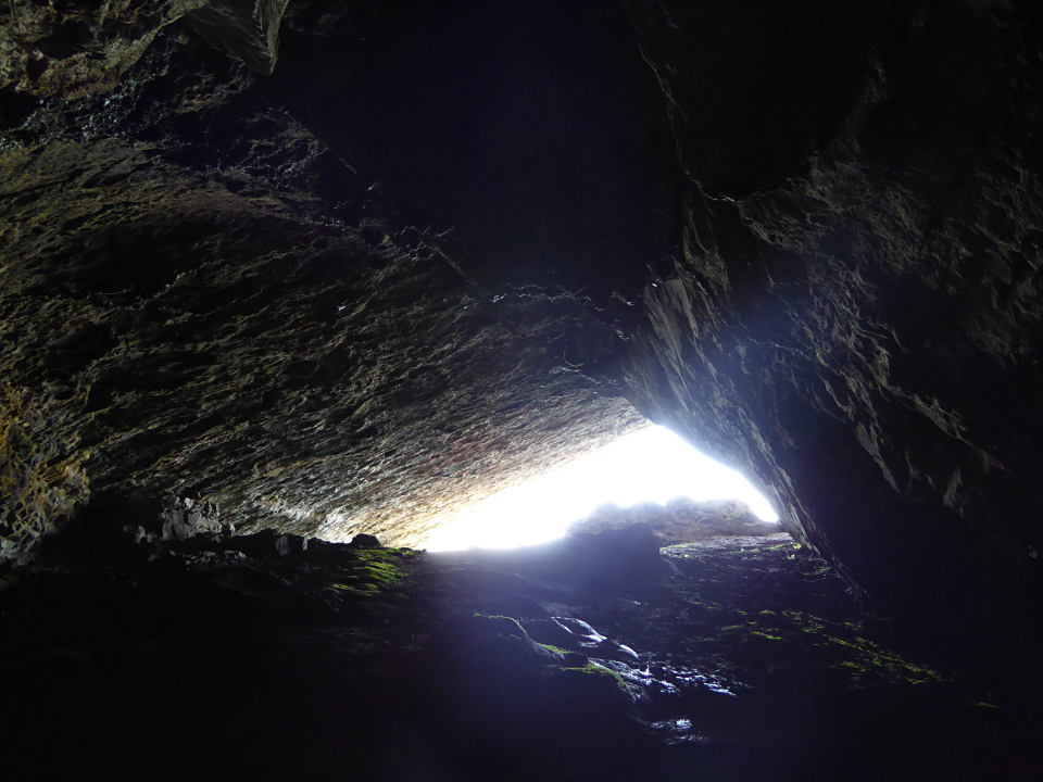
Room with a view.

Inside the partially blocked entrance.

The overhanging opening to the cave.

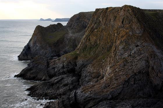
Bacon Hole from the west. High Pennard promontory fort is on the headland beyond.