
The flanks of the SW barrow are gradually being reclaimed by the gorse.
Image credit: A. Brookes (18.6.2024)
The flanks of the SW barrow are gradually being reclaimed by the gorse.


The pointed top of modern cairn that sits on Carn na Faire can be seen on the skyline. The Gaelic name for this bay is Port na Righ… ‘Port of the King’. As far as I can establish there are only two other places in Scotland that bear this name, the modern Portree on Skye and a bay at Carradale, East Kintyre. Not an everyday name.

I found this immediately to the west, alongside the cairn – which is of an unusually large size. I believe this to be the true lookout point which affords shelter, unlike the exposed to the elements top of that cairn, whose Gaelic translation is ‘pile of stones watch point’. A watch point for where? Reckon I have found the answer to that downslope when fieldwalking. As of date of publication of this image fieldnotes and images are yet to be uploaded but local official bodies have already been informed. Perhaps I’ve found hidden in the vegetation the most important prehistoric site on the island… we’ll see…


An engraving of Avebury, published in ‘The Mirror of Literature, Amusement, and Instruction,’ 15th November 1828. The accompanying article has a fair amount of dramatic flourish, drawing from William Stukeley’s theory that Avebury was built by the Druids.

The very steep drop off on the E side, Loch Etive beyond

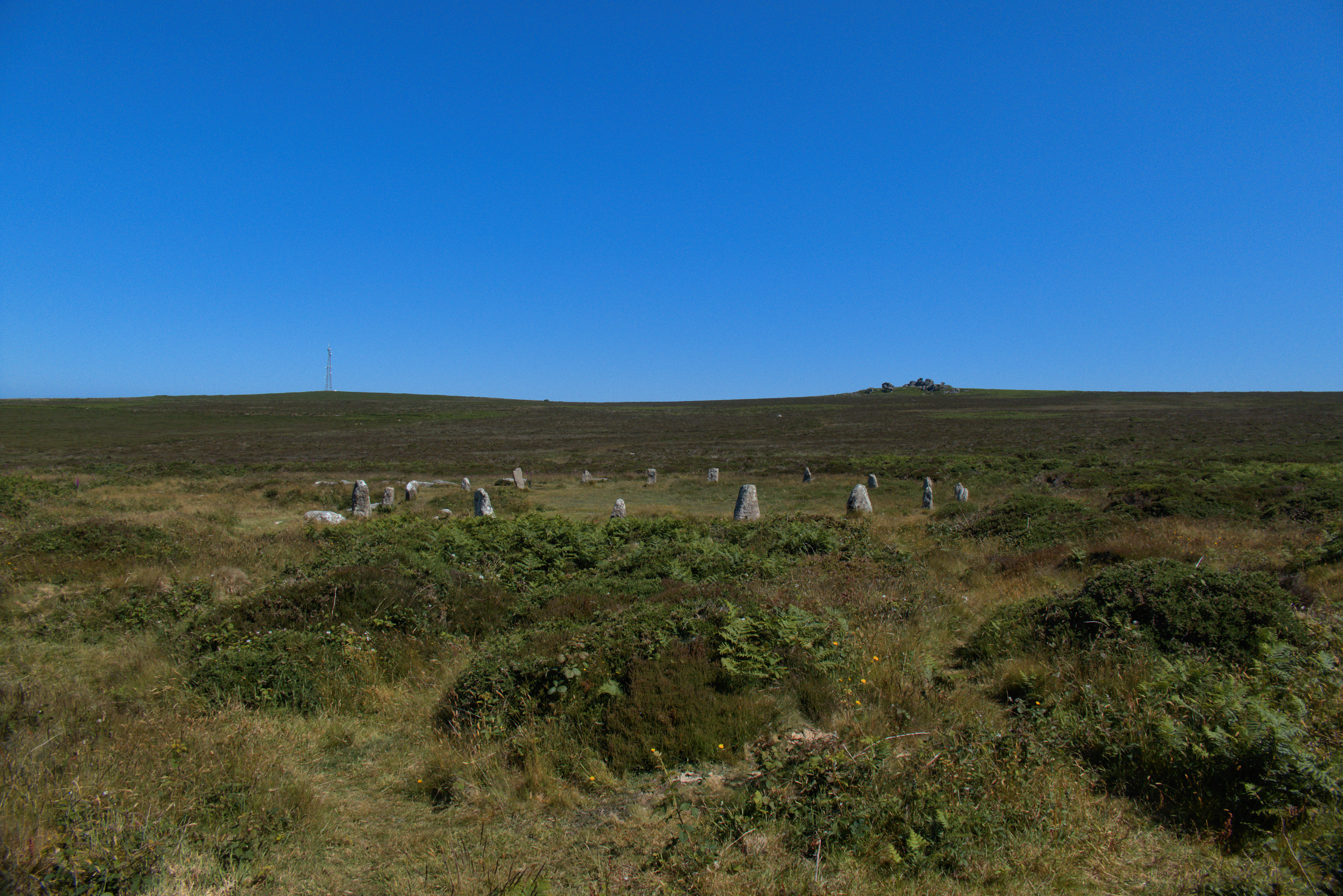
The view from the W ramparts along Loch Etive, North Connel, and archaeological ‘hot spot’, in the distance, overlooking the Falls of Lora.

The heavy duty boulders that line the western side’s outer defence.. the ridge beyond, S, the dun’s normal access route in occupation.

The approach from the west… the bracken already making its presence felt in mid May

The W side, seen from the shore of Loch Etive

It shows as a low bank not far inside the inner bank.

The highest, tenth, level of the raised beaches here, 130’ above present sea level. Kiloran Bay beyond, and beyond that Uragaig raised beach. Dun Tealtaigh sits to its right.. and, further to the right, the undercut cliff and raised hillock which give Dun Uragaig its shelter from the north winds.. I found it calm there, even on a blowy day.

The embarkation point is on the east side.. the Ross of Mull and Isles, an easy sail, on the horizon.
The calls of two corncrakes will have to be visualised. As will the midgies.

Carn Liath (Trantlemore) Broch viewed from S.

Remains of Outer Wall on S Arc of Carn Liath (Trantlemore) Broch.

Interior of Carn Liath (Trantlemore) Broch viewed from S.


