Carn Liath (Trantlemore) Broch viewed from S.
Image credit: Mark Johnstone
Carn Liath (Trantlemore) Broch viewed from S.

Remains of Outer Wall on S Arc of Carn Liath (Trantlemore) Broch.

Interior of Carn Liath (Trantlemore) Broch viewed from S.

Entrance in NE Arc of Carn Liath (Trantlemore) Broch viewed from NE.

Entrance in NE Arc of Carn Liath (Trantlemore) Broch viewed from SW.
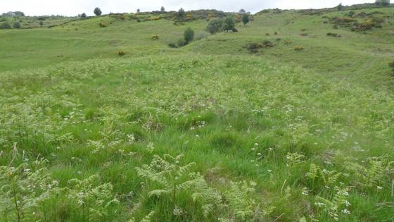
Trantlemore is an isolated crofting township in the far N of the Scottish mainland. It is accessed via the A897 running 40 miles from Helmsdale to Melvich. The A897 is a single track road with passing places. It is a scenic route up to the N coast of Scotland with 16 Brochs included in the 32 sites on or near the A897 listed in TMA. That is 0.8 sites per mile!
Directions to Carn Liath (Trantlemore): Take the A897 Melvich turn off the A9 in Helmsdale. Follow Dunrobin St for c. 0.2 mile to a roundabout. Take a right turn onto the A897 Melvich. Follow this narrow road for 31.6 miles to a sharp cut-back left turn signed for Trantlemore. Follow the narrow lane for c. 0.1 miles to a car park beside Trantlemore Cemetery. Walk c. 100 yards W then turn right up a grassy bank to a gateway into rough pasture. Carn Liath (Trantlemore) is c. 50 yards NW of the gateway. My walking route is viewable on Carn Liath (Trantlemore).
Visited 25.06.14
Carn Liath, Trantlemore is the site of a ruined broch on the S edge of Trantlemore, an isolated settlement adjacent to the A897 in Sutherland. It is located on a natural knoll. There are remains of an outer wall up to c. 1.2m high on the NE Arc. Canmore ID 6824 estimates that the outer wall had an outer diameter of 17.6m and a thickness of 4.2m. There is a trench on the NE Arc c. 4.5m long, 3m wide and 1.2m deep which may been the original entrance. Remnants of parallel walls defining the entrance are visible.
There are two ruined brochs in Trantlemore: Carn Liath, Trantlemore Broch and Trantlemore which is located c. 0.7 mile N of Carn Liath, Trantlemore in the township.
Carn Liath, Trantlemore on Google Maps