
Latest Images
May 30, 2025

May 29, 2025

Carn Liath (Trantlemore) Broch viewed from S.
Image credit: Mark Johnstone

Remains of Outer Wall on S Arc of Carn Liath (Trantlemore) Broch.
Image credit: Mark Johnstone

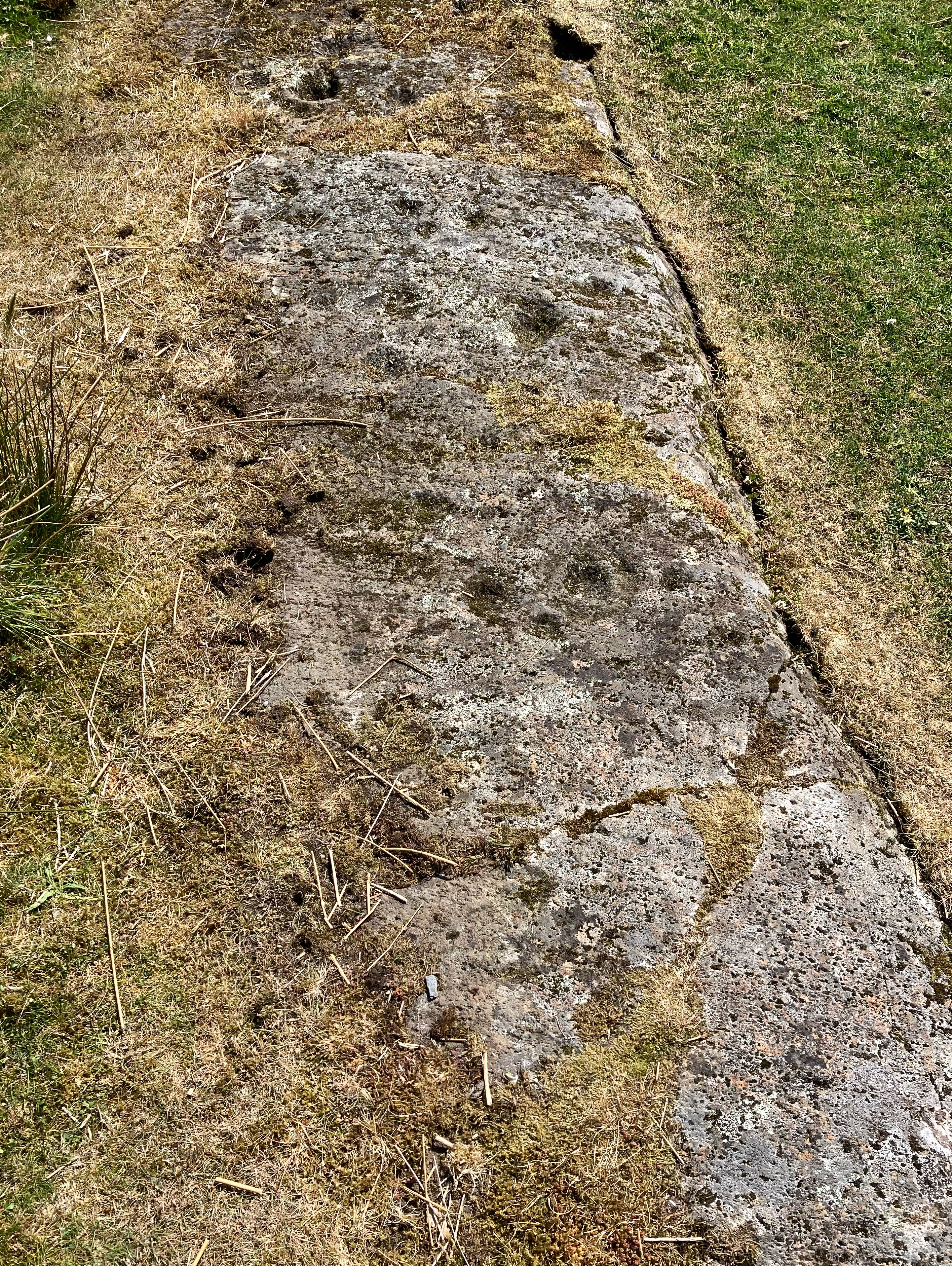
Interior of Carn Liath (Trantlemore) Broch viewed from S.
Image credit: Mark Johnstone

Entrance in NE Arc of Carn Liath (Trantlemore) Broch viewed from NE.
Image credit: Mark Johnstone

Entrance in NE Arc of Carn Liath (Trantlemore) Broch viewed from SW.
Image credit: Mark Johnstone

The central cist, part of the northern arc of stones beyond, and, in the distance (not that diminutive – phone cameras, eh?) the four and two stone rows.
Image credit: Mike Purslow

The stone outside the fence… visitors are gradually exposing more of it. I didn’t, of course……..
Image credit: Mike Purslow


Torbhlaren stone with ‘Torbhlaren 2’ prone in mid distance, left. Let’s make them a pair, I say!
Image credit: Mike Purslow

‘Torbhlaren 2’ … packing exposed if you squint at this image. This packing has held the bottom end aloft while tilting the unsupported top end downward so it has nosed into the turf.
Image credit: Mike Purslow

Perhaps this should be called Torbhlaren 2… I saw this distant shape from the gate which gives access to the standing stone, went over and saw packing now exposed by livestock erosion at the prominent end. I’m sure it’s a ‘faller’. At 16’ it’s dwarf the other stone even if securely earthfast when upright. Wish it was…
Image credit: Mike Purslow

Seen from the road to the fort… I didn’t wish to intrude. Cared for in its manicured sylvan surroundings.
Image credit: Mike Purslow
May 28, 2025

Located off the ardamore road, the gate is marked by a handwritten standing stone sign. 400m down the path is a sectioned off field on the left with the stone row and outlier. From this angle it reminded me of a giant hand reaching out of the soil, but I often see rocky digits if the stones are slender enough. I reckon they marked a boundary, but some suggest an astral alignment. Lovely surrounds too and a helpful farmer.
Image credit: Me

The east side of the cairn on the skyline, top centre.
Image credit: Mike Purslow


Bodach stands on guard. A pilgrimage here for seafarers wishing safe passage to Jura and Southern Ireland beyond. Bless him and he will bless you.
Image credit: Mike Purslow


The cairn is the high point in the centre of the image. Those Paps beyond…
Image credit: Mike Purslow

This, which I think is another probable cairn, overlooks the two cairns on a bluff a hundred yards north, to the east of the road. It would be a skyline feature discernable from the mainland.
Image credit: Mike Purslow

Seen in the tree line clearing from the farm track that leads to the beaches at Cuddyport.
Image credit: Mike Purslow

Another view of the site’s drop off, looking N, defined by the old fence posts. Beyond, in the mid distance, the island’s highest point, and, on the horizon, the Paps of Jura.
Image credit: Mike Purslow