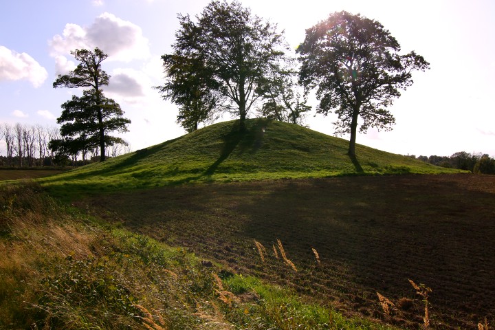
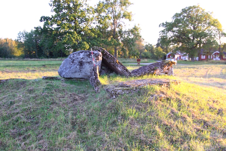
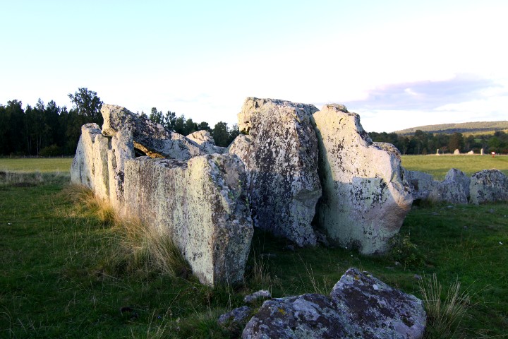
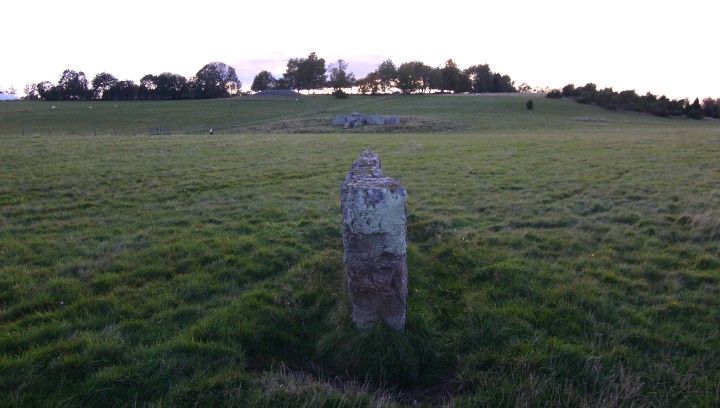
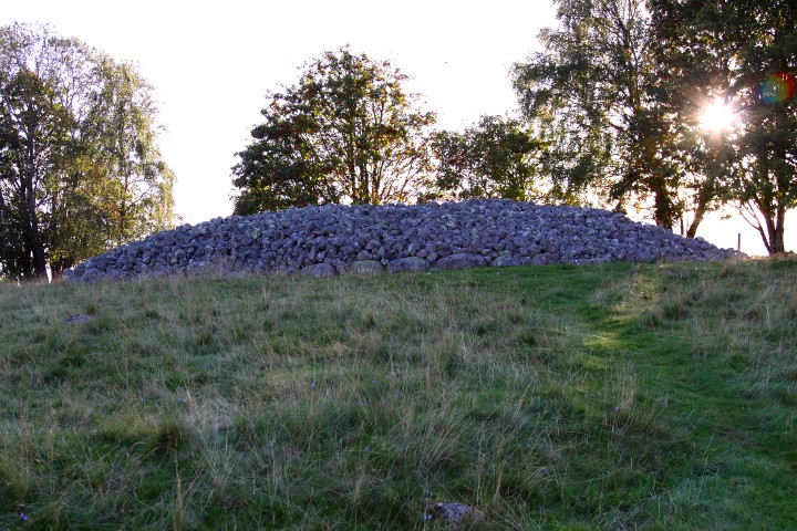
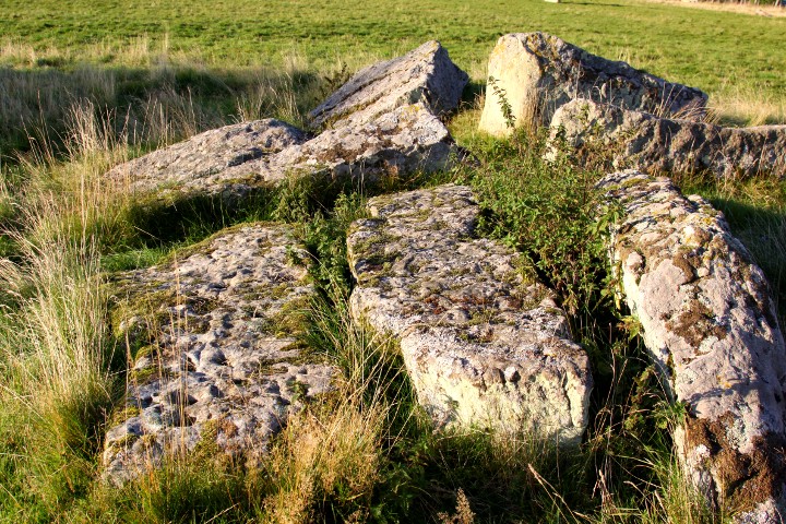
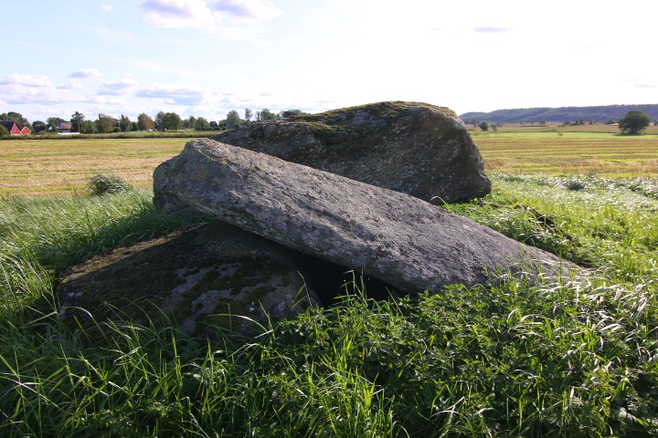
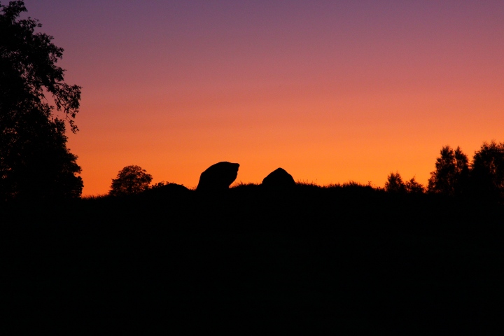
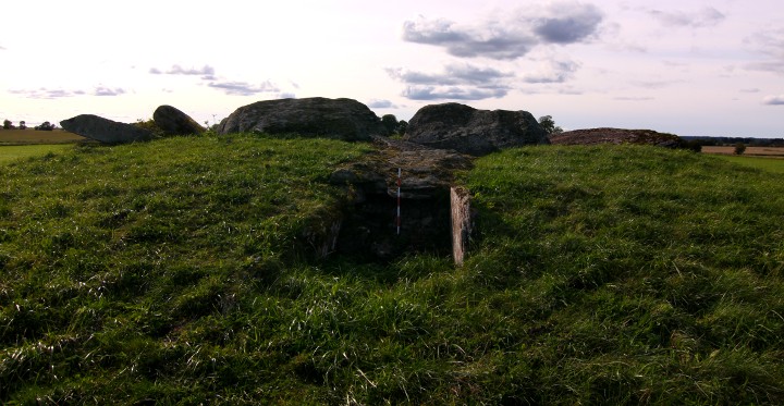
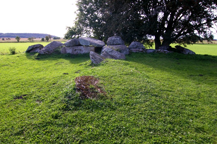
The passage grave in Tolarp is the biggest megalithic tomb
in southern Halland and is almost 5000 years old. The chamber is
2.5 x 6.5 metres, and the passage is 4.5 metres long.
It was investigated ande restored 1926.
I forgot to take a compass reading of the passage, i'll try to do it
the next time i pass the area.
Info board on site in Swedish and English.
How to get there:
At Halmstad, take the exit from highway E20 to road 25 towards Ljungby. Drive 1.5 kilometres and take the 1st exit in the roundabout.
After 50 metres, turn left at the blue sign "Mästkocka".
After 700 metres, turn left after the church, at the sign "26 Mästkocka"
Drive for 4.1 kilometres, then turn left at yellow signs "2 Tolarp" and "Gånggrift".
After 1.1 kilometres the site is on the left, and parking spot to the right after further 10 metres.
|
 
|
Some pictures from the excavation that was done in 1972. In swedish, but use the list below to navigate through the pictures.
Translation of navigation buttons on the bottom of the page:
Först = First
Bakåt = Backwards
Framåt = Forwards
Sista = Last
|
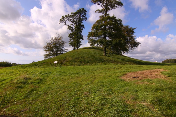
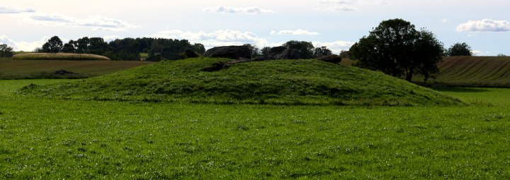
This barrow was partially excavated in 1972.
Then the archaeologists found out that the barrow is built on a
natural hill, so the barrow itself measures 40 metres in diametre, and 4 metres high, the total including the natural hill is 50-60 metres in diametre and 7 metres high.
The name 'Ivars kulle' (Ivar's hill) traces back to a man with the name
Givar Gunnarsson, who in the years 1717-1756 owned the land around it.
Info board on site in Swedish, English and German.
How to get there:
The barrow is southeast of the crossing between highway E20 and road 26,
visible from the highway. Take the exit to road 26 towards Smålandsstenar,
and turn right after 300 metres at the sign 'Sperlingsholm'.
The site is after another 300 metres.
|
     
|
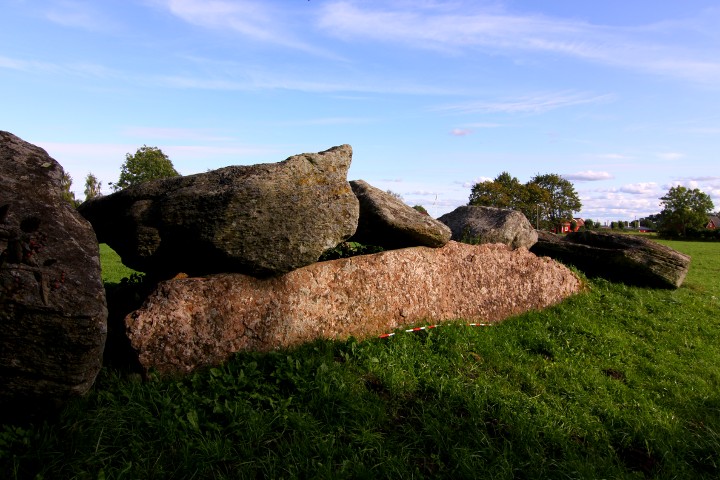
Rössberga gånggrift is the only passage grave that has been completely examined in Falköping municipality.
It was examined and restored in 1962 by Mr. Carl Cullberg.
It was used to bury people for almost 2400 years.
The chamber were at the beginning 2 metres high, and consisted of 17 sections, in where there were piles of human bones. In total the remains of 128 adults were found in the sections, which is more than in any other megalithic tomb in Scandinavia. Together with the remains also some animal bones, amber pearls, different pearls made of animal bone, flint stones. At the entrance over 700 pieces of pottery shards were found and c14 dating of these places them bout 3600BCE.
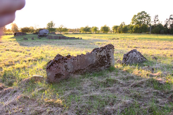
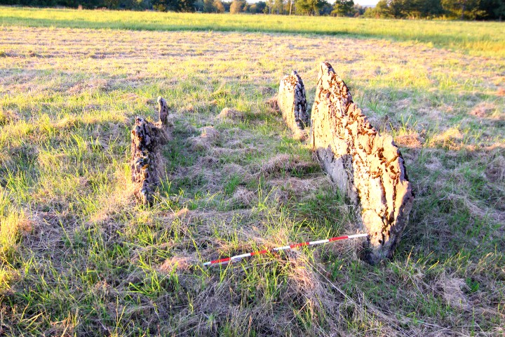
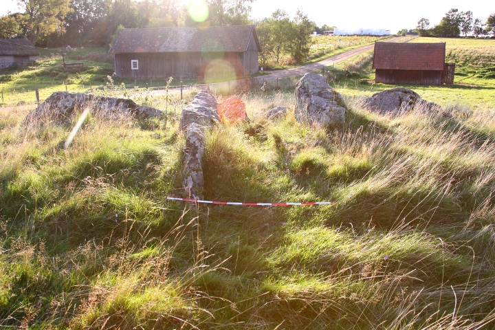
20 metres east of the passage grave there is a stone cist.
How to get there:
Follow the directions for Ekornavallen, then continue south for 5.7 kilometres. Site and parking spot is on the left.
|
    
|
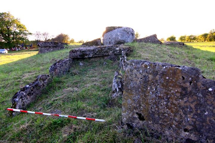
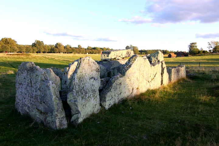
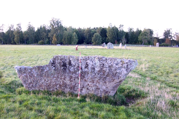
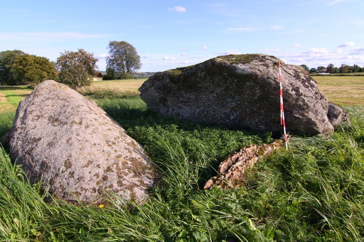
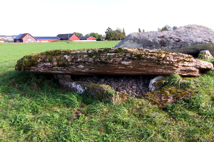
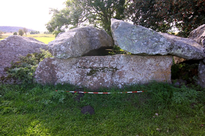
The chamber is about 13 x 2 metres, and the passage is about 10 metres long. All the stones, except for the keystone, which is a granite block, are sandstones.
The passage grave was partly restored in 1946.
The passage grave can be seen in GE.
|
              
|
An English page about the site on the Swedish national heritage board's web site.
|
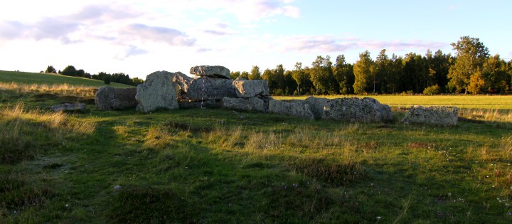
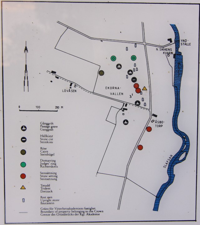
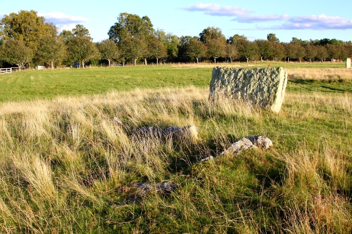
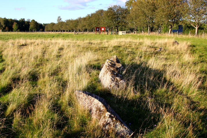
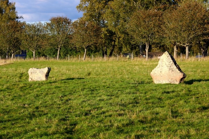
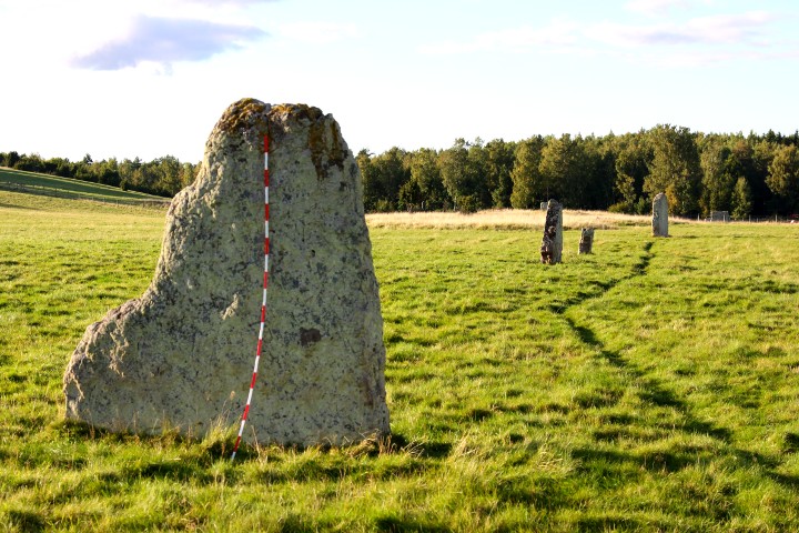
Ekornavallen has been used as a burial place fo at least 4000 years,
which makes this site one of the most remarkable sites in Sweden.
The oldest is the passage graves (the biggest one, Girommen, is presented on a sub-site) and one stone cist, built for 4-5000 years ago.
Up on the crest of the hill, there is a bronze age cairn, about 3000 years old.
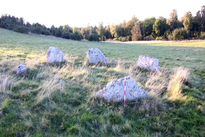
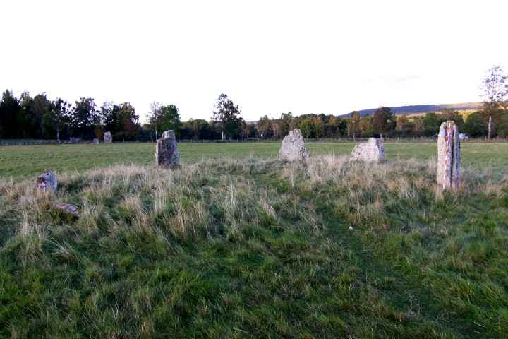
The youngest graves is from the iron age and consists of stone settings, standing stones and stone circles (judge rings)
and a tri-radial cairn.
Because of the unique mix of remains from different eras, the site were early noted. The earliest (but uncertain) written info is in the Västgötalagen (the code of Västergötland) from the 13th century.
During the 18th and 19th century Ekornavallen was visited by several
archaeologists, from their maps we can see that there were many more monuments than there are now.
In order to save the area from further destruction, the site was bought by the state in 1944, and is now taken care of by the Swedish national heritage board.
There are many info boards in the area, in Swedish, English and German.
The site can be seen in GE.
How to get there:
On road 49 between Skara and Skövde, turn south in Varnhem towards
Broddetorp, ( as for the Amundtorp and Lilla lycke sites).
After 10 kilometres you arrive to the village Boddetorp. Drive through and continue for 3.2 kilometres. Parking spot to the left, and the site to the right.
|
    
|
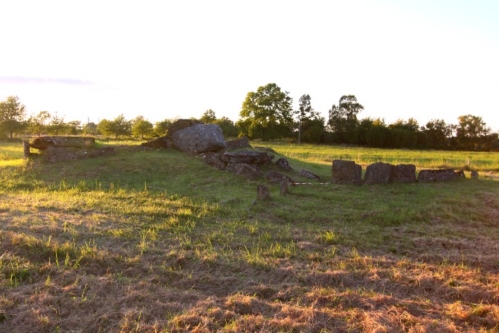
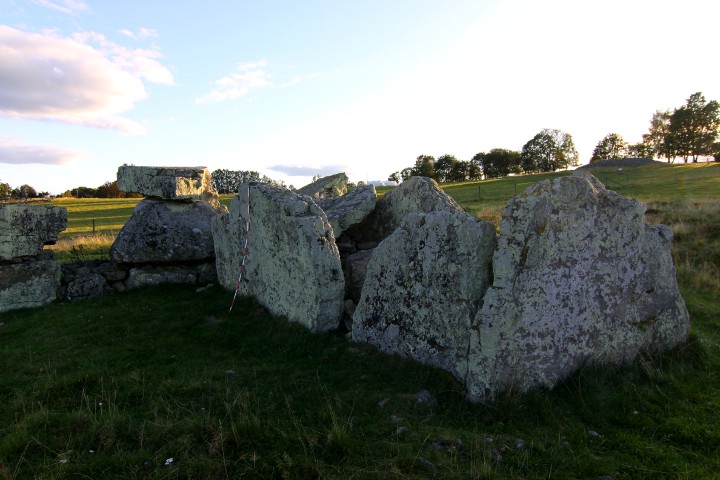
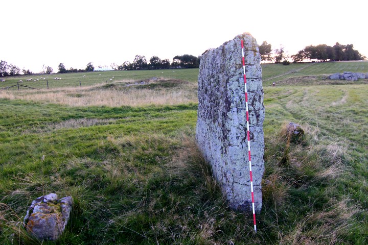
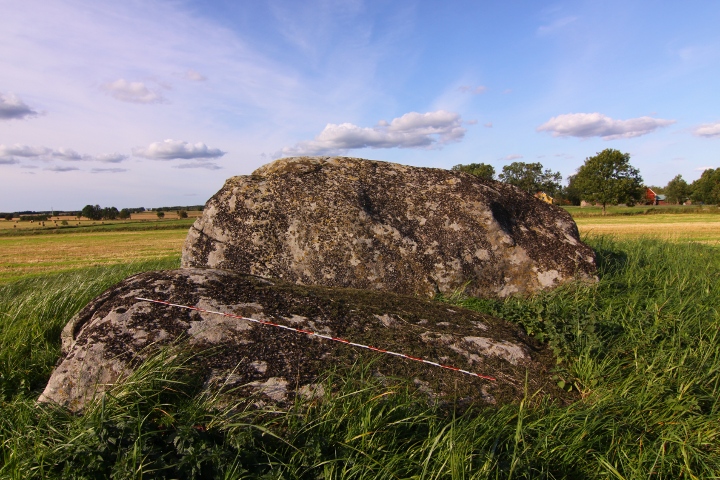
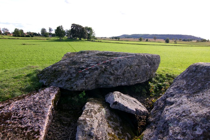
This passage grave lies on a mound, which is about 20 x 19 metres and 1.6 metres high.
The chamber is a rectangle, 9 x 2.6 metres.
this passage grave, together with Klövagårdens gånggrift ,Ragnvalds grav and Logårds kulle is north of the road, while the farms is on the south. It has been accepted that this configuration has been the sami since the stone age, which makes the road Sweden's oldest that is still in use.
How to get there:
From the city of Falköping, take road 47 southeast for 4.3 kilometres, then turn left at the blue sign "Karleby".
Drive for 1.5 kilometres and there is a parking spot on your left.
Walk northwards, pass Logärds kulle, and the next passage grave is the site.
|
    
|
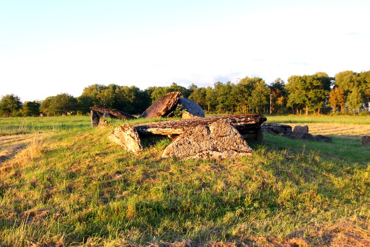
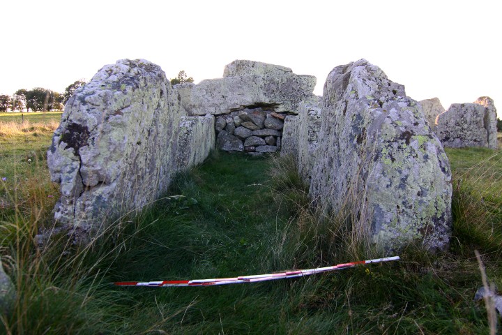
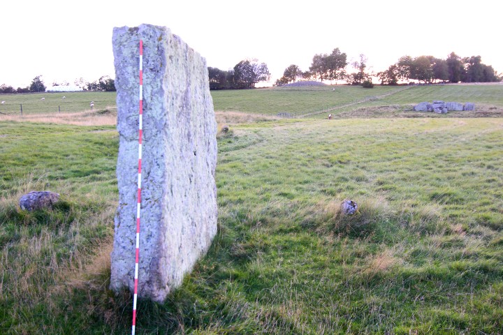
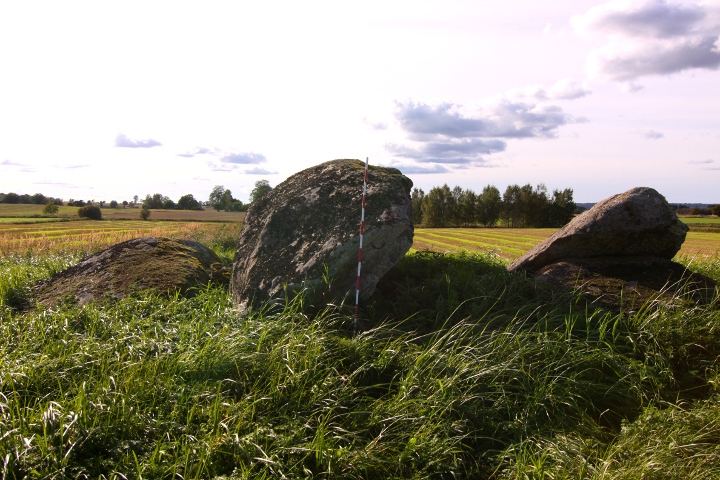
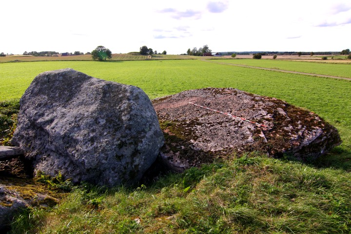
This passage grave lies on a mound, which is about 27 x 11 metres and 2.0 metres high.
The chamber is a rectangle, 11 x 2.5 metres, and the passage is 8 metres long.
The grave was examined in 1874 by Montelius and Retxius and an arrowhead of flintstone, amber pearls, 3 bone needles, 2 teeth with a hole drilled through and burnt and unburnt human- and animal bones.
this passage grave, together with Klövagårdens gånggrift,Ragnvalds grav, and Haragårdens gånggrift is north of the road, while the farms is on the south. It has been accepted that this configuration has been the sami since the stone age, which makes the road Sweden's oldest that is still in use.
How to get there:
From the city of Falköping, take road 47 southeast for 4.3 kilometres, then turn left at the blue sign "Karleby".
Drive for 1.5 kilometres and there is a parking spot on your left.
Walk westwards towards Ragnvalds Grav, then follow the track north in the field to the site.
|
L-M K hasn't added a profile
|
|