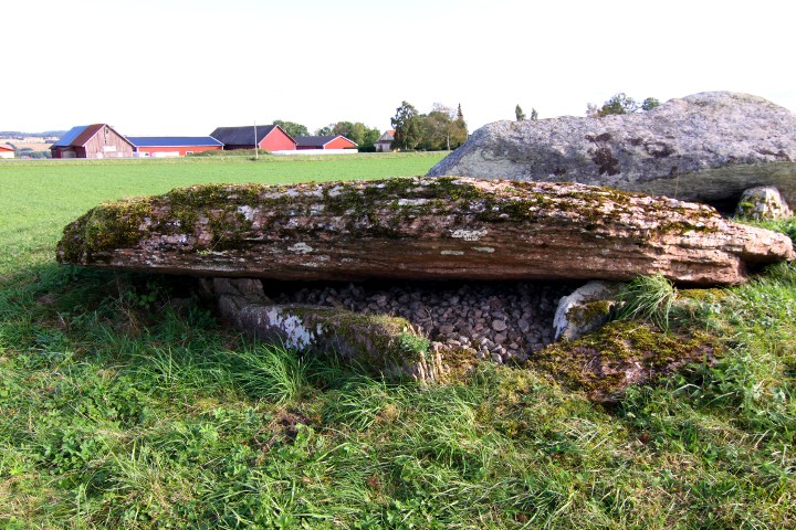
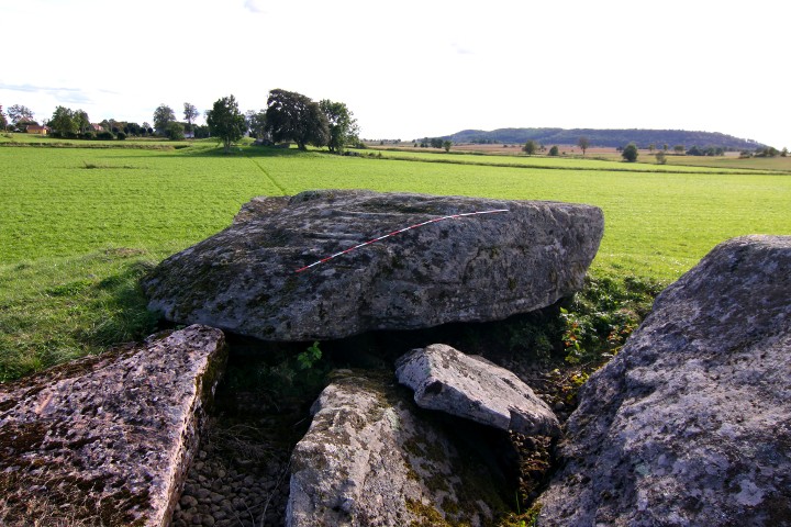
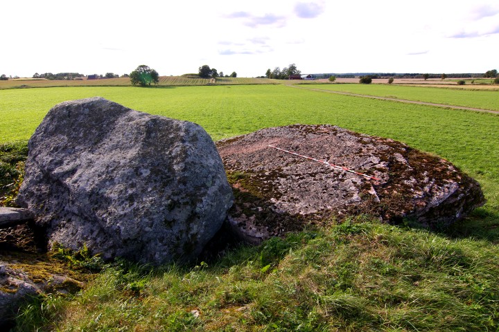
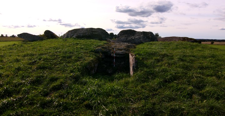
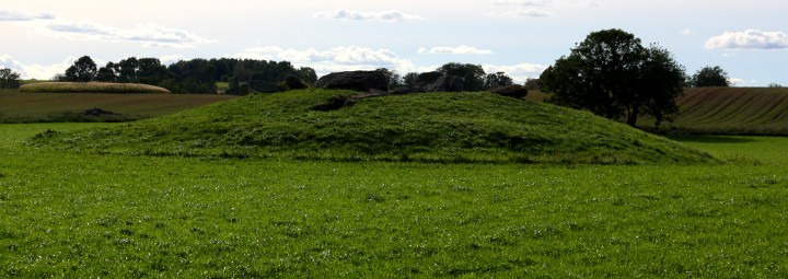
This passage grave lies on a mound, which is about 27 x 11 metres and 2.0 metres high.
The chamber is a rectangle, 11 x 2.5 metres, and the passage is 8 metres long.
The grave was examined in 1874 by Montelius and Retxius and an arrowhead of flintstone, amber pearls, 3 bone needles, 2 teeth with a hole drilled through and burnt and unburnt human- and animal bones.
this passage grave, together with Klövagårdens gånggrift,Ragnvalds grav, and Haragårdens gånggrift is north of the road, while the farms is on the south. It has been accepted that this configuration has been the sami since the stone age, which makes the road Sweden's oldest that is still in use.
How to get there:
From the city of Falköping, take road 47 southeast for 4.3 kilometres, then turn left at the blue sign "Karleby".
Drive for 1.5 kilometres and there is a parking spot on your left.
Walk westwards towards Ragnvalds Grav, then follow the track north in the field to the site.