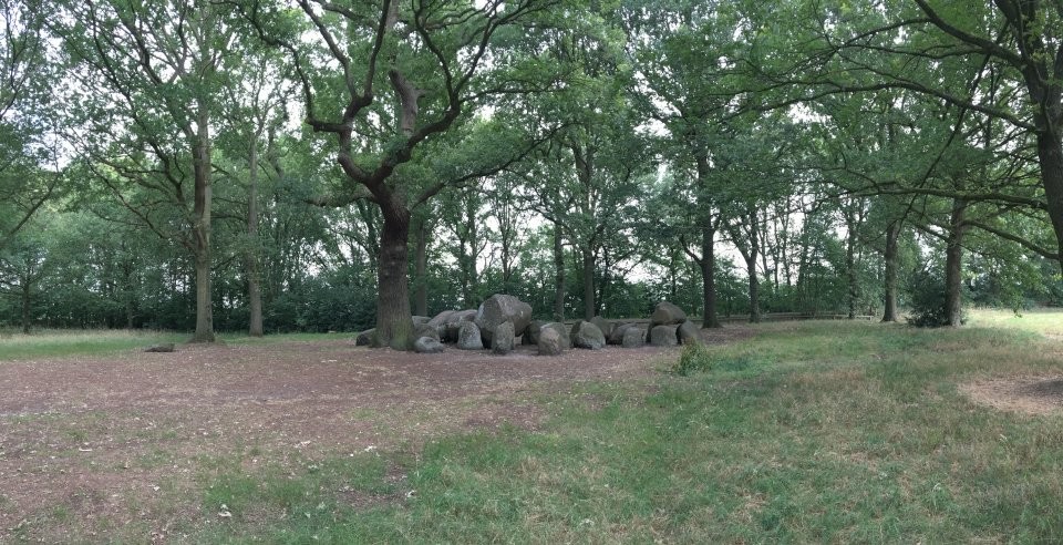
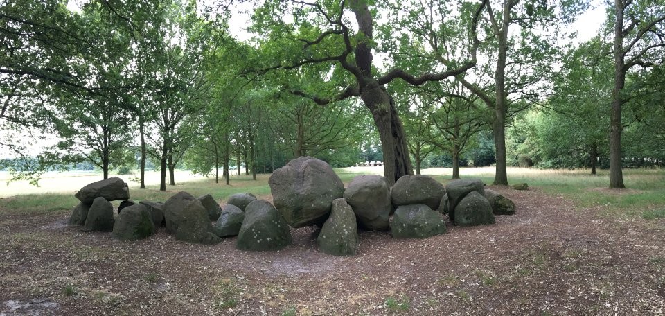
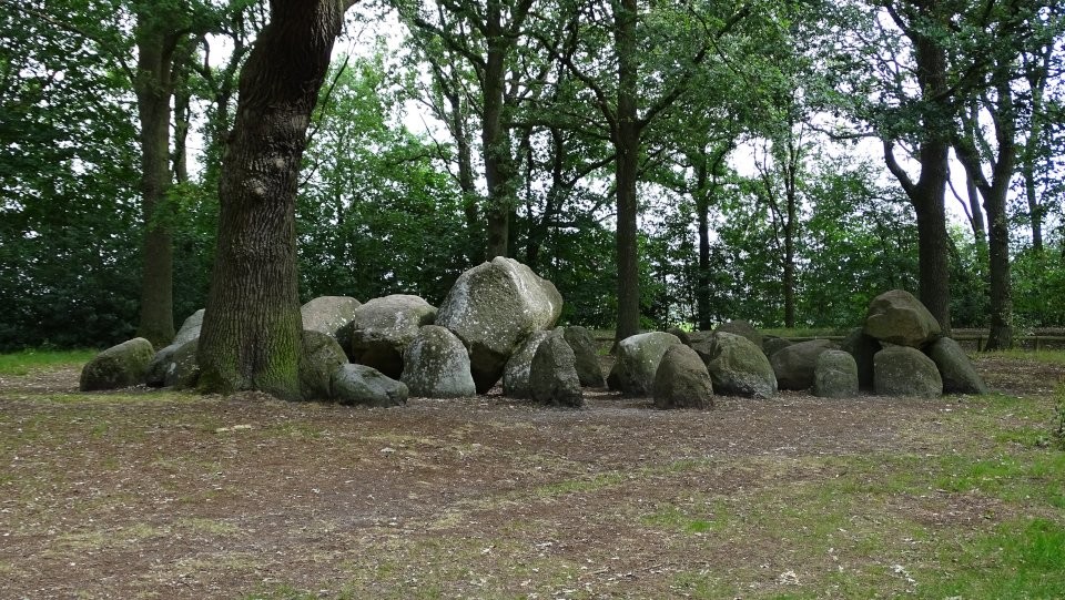
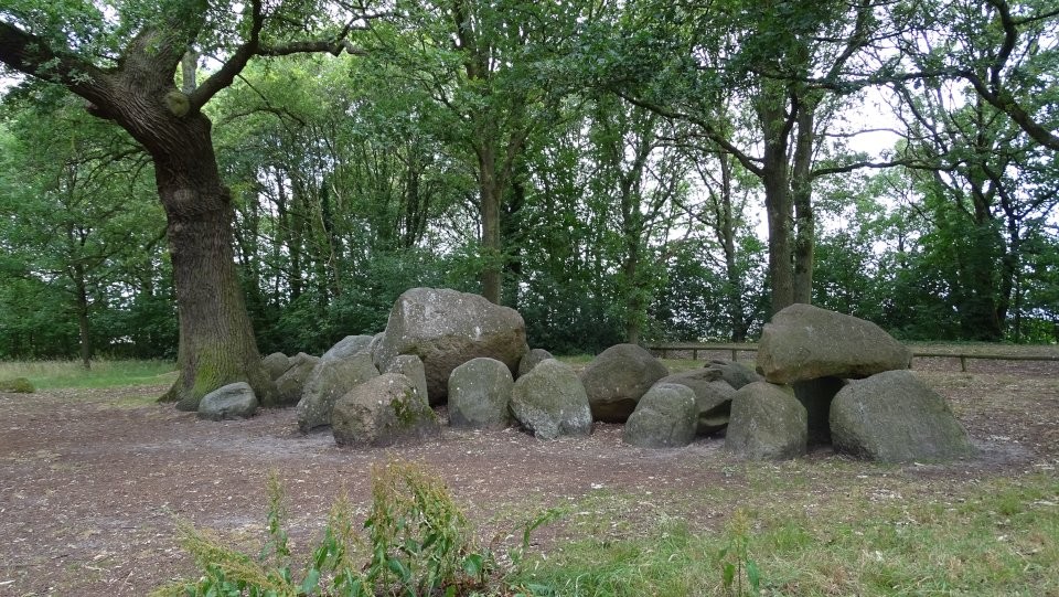
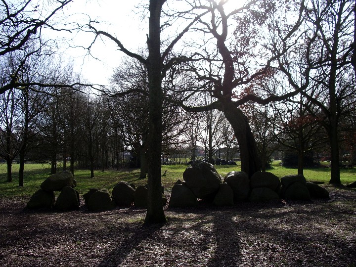
Hunebed D17 Rolde lies 200 metres north of its twin (D18) in a rectangular park just east of Sint-Jacobskerk in Rolde and behind its graveyard. You can access the hunebed from the village's main street (Hoofdstraat) by following Kerkbrink, which winds past the cemetery.
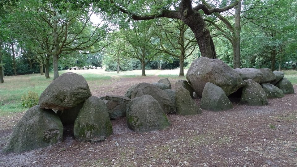
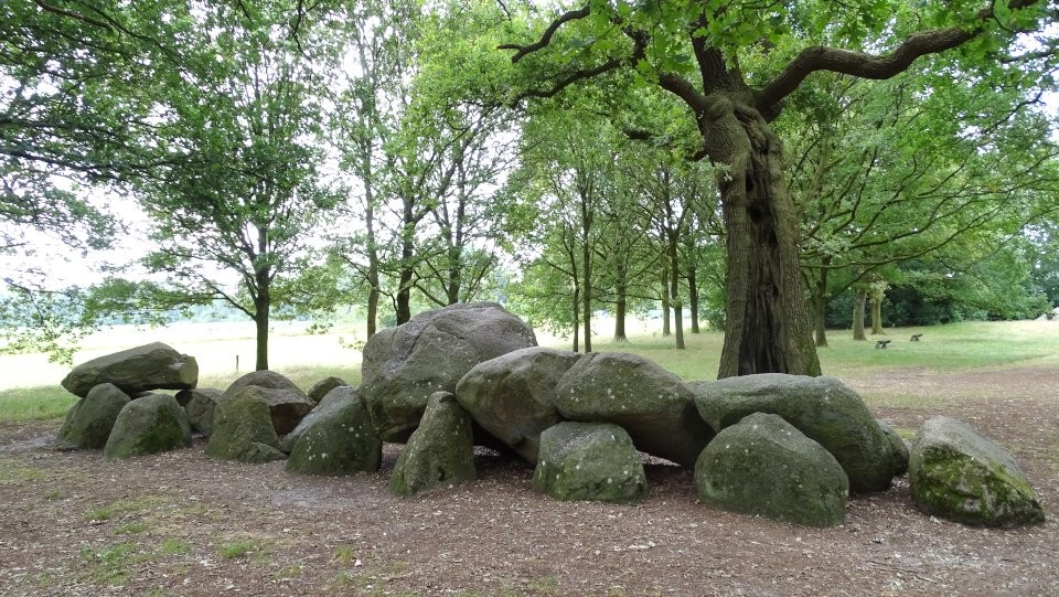
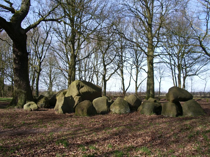
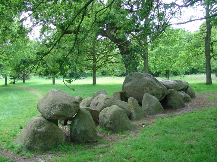
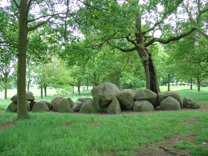
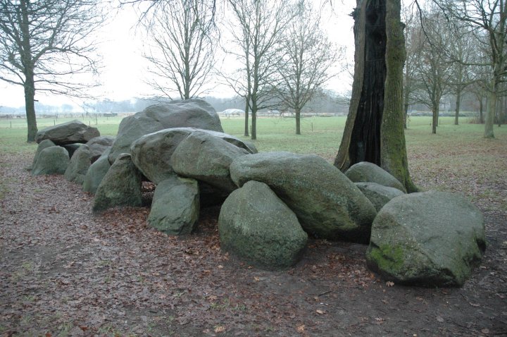
Along the northern boundary of the park, which nowadays sports a number of mature oak trees, is a walking route which follows the former Assen-Stadskanaal railway line that closed in 1939. D17 surrounds a historic old oak tree, hollow inside after long ago being struck by lightning, but still alive though now supported by steel rods.
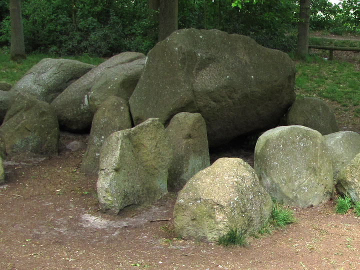
D17 originally consisted of 16 sidestones, two entrance stones and 8 capstones, though all but one of the latter have now collapsed into the crypt, and one of them is split in half. Although two sidestones of the entranceway remain, there is no evidence that this hunebed ever possessed a circle of kerbstones.

 Maps / Plans / Diagrams:
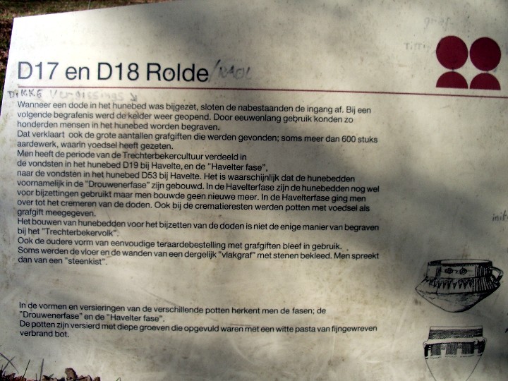
 Posted by LesHamilton