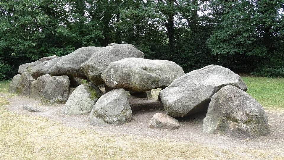
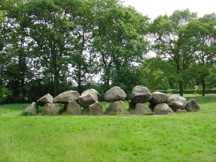
As I walked from D17 to D18, the whitish color of the stones and the large capstones, bent like a spine, reminded me of the skeleton of a dinosaur as seen in museums :-).
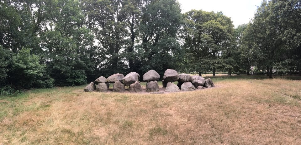
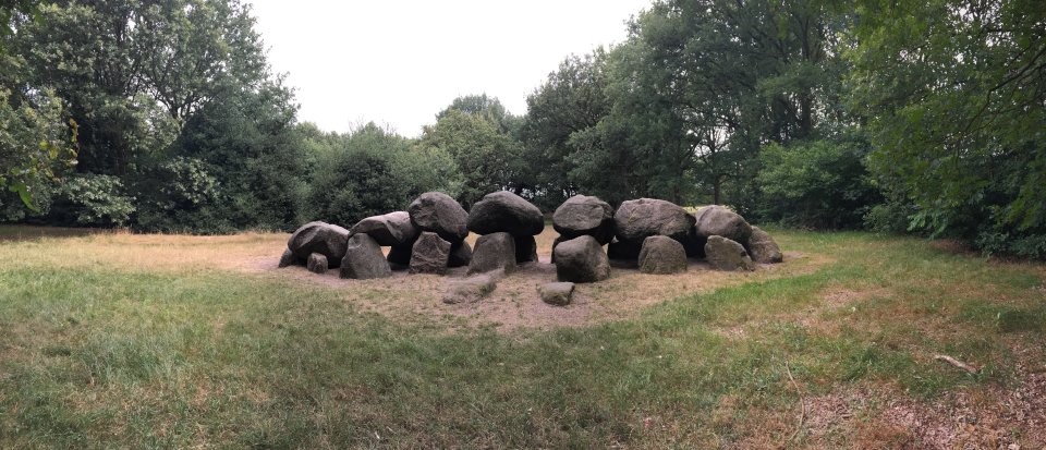
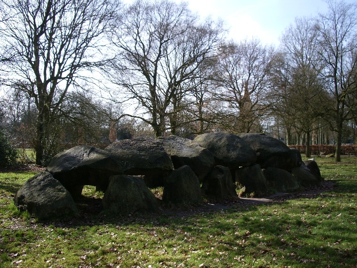
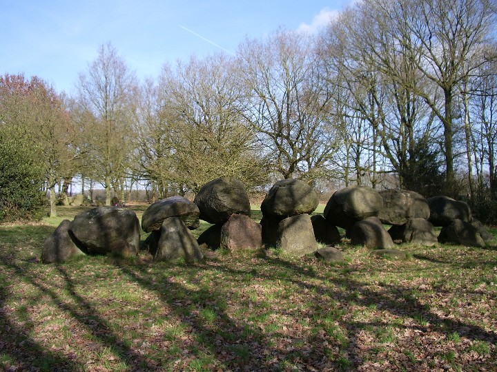
Hunebed D18 Rolde lies 200 metres south of D17, behind the cemetery adjacent to Sint-Jacobskerk in Rolde.
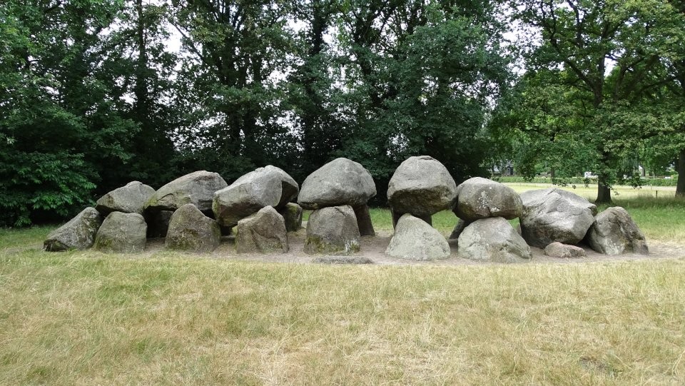
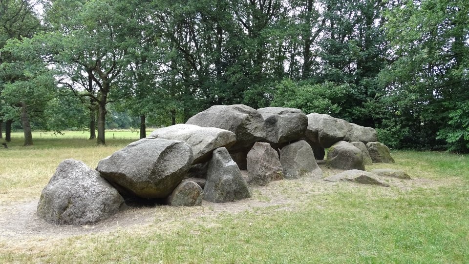
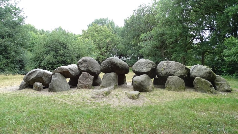
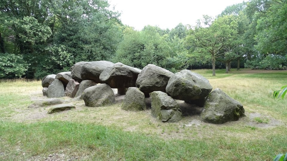
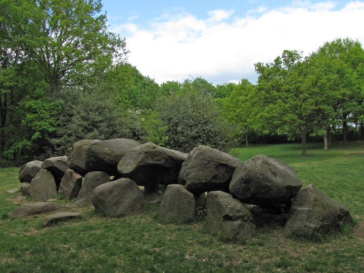
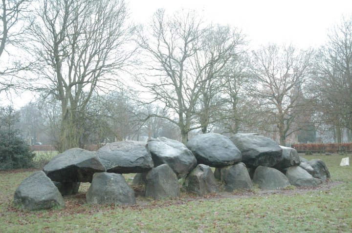
Much better preserved than its twin, D18 originally had seven capstones supported by 14 sidestones, as well as a pair of entrance stones—these last largely buried in the sand so that only their tops are showing. D18 is a particularly neat and tidy hunebed, almost complete, hardly surprising since it has experienced restoration on numerous occasions. Two of the capstones are actually now held in place by steel pins.
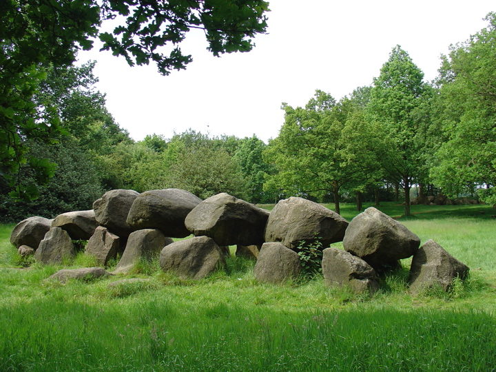
An archetypical hunebed, enhanced by the oak tree that arched gracefully over it until 1984, D18 has been illustrated in drawings and paintings many times over the years. But, because it was disturbing the hunebed and threatening its cohesion, this tree had to be removed.


 Posted by LesHamilton