|
|

|
|
Conygar HillRound Barrow(s)
|
||||||||||||||||||||||||
|
|
|
Images (click to view fullsize) |
|
|
Fieldnotes |
|
|
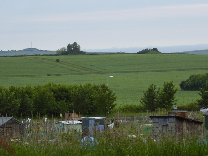
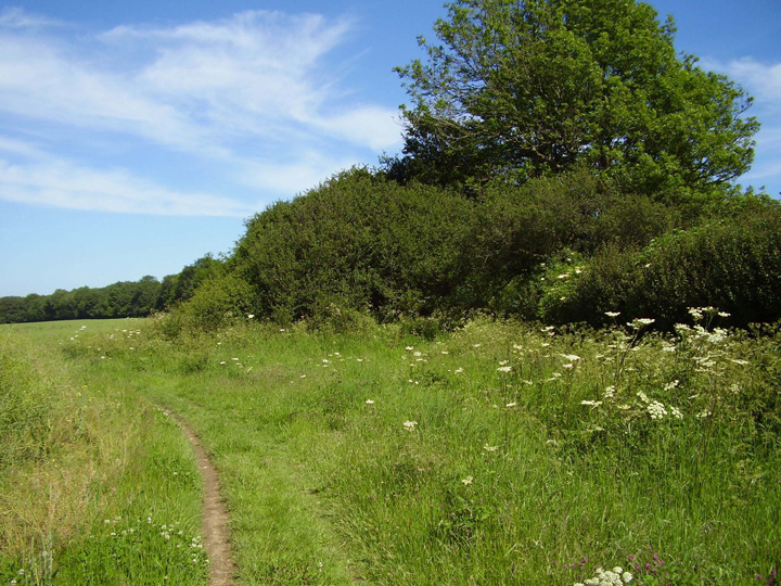
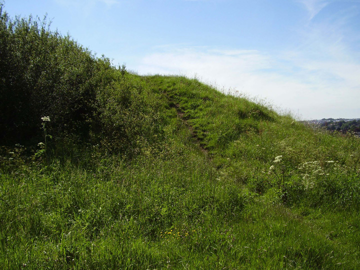
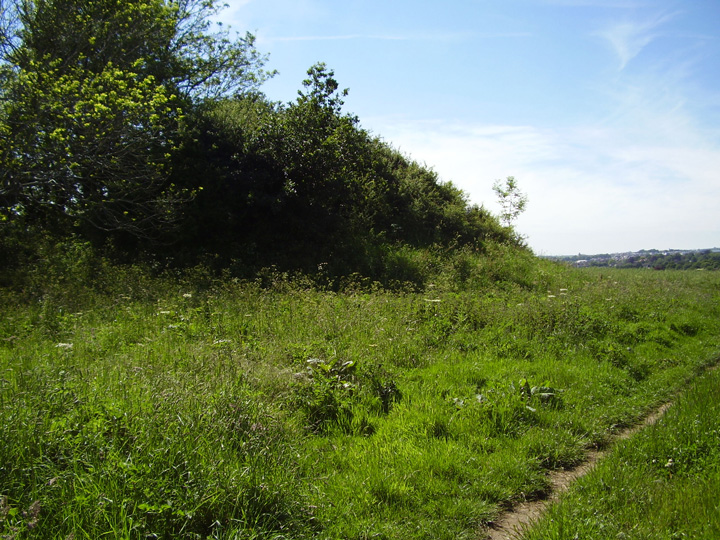
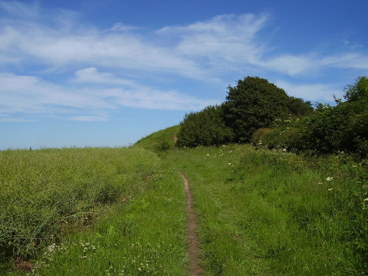
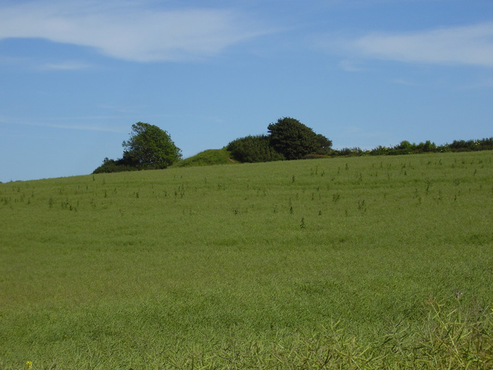
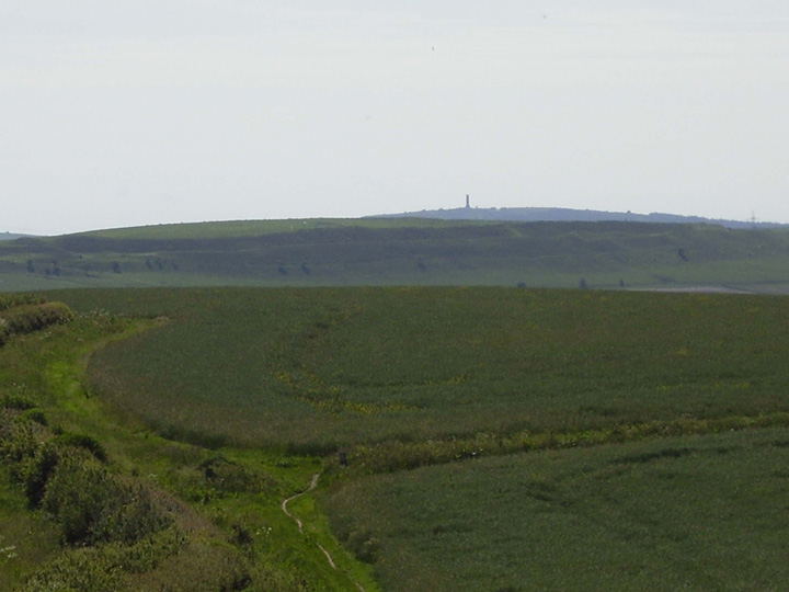
A pair of large bowl barrows on the ridge of a low hill. These are quite overgrown with scrub, the western one is about twenty feet high and fifty feet in diameter, the eastern one about a third smaller. Both these barrows were excavated by E.Cunnington in the late 19th century. He found a crouched burial the eastern barrow with a pot and 6 flint arrowheads, these are very fine barbed and tanged variety and are called "Conygar" type arrowheads. They appear to be too delicate for use and seem to have been made for burial. The western barrow contained an inhumation and several cremations. The position of these two barrows seems to be quite important, their placement in the ancient landscape appears to be no accident. To the north east the Mount Pleasant henge is in plain view, also a now lost large henge on the site of the bypass around Dorchester, called Flagstones would have been directly north. Maiden castle can be clearly seen to the west, Came woods and Came down barrows are visible to the south and south west. Now obscured by houses and other buildings, map elevations show that both Maumbury rings and Poundbury hillfort would also have been in plain sight from these two barrows. This pair of barrows are very accessible, they are several hundred yards only from a large housing estate. A public footpath runs straight past them. Although a busy road is only about two hundred yards away noise is minimal and the views from this site are well worth seeing. |
 Posted by formicaant
2nd June 2007ce Edited 15th May 2009ce |
Miscellaneous |
|
|
Conygar Hill Hengiform Ring Details of Hengiform ring on Pastscape - Monument No. 1431045 Hengiform ring to the north of Conygar Hill excavated in 1987 in advance of the construction of the Dorchester By-pass. It lies falsecrested below steeper gradients of the east-west ridge and commanded uninterrupted views to the north and west. The ring is 15m in diameter, and had 8 kidney-shaped pits, generally 3m long, 2m wide, and 0.5m deep. One contained a cenral post-hole 0.85m in diameter and 0.5m deep. The pits enclosed a setting of eight posts, each circa 0.85m dwide and 0.15m deep. Sherds of Peterborough Ware were present in the upper fills, with antler and animal bones in the basal fills. |
 Posted by Chance
30th May 2014ce |
|
Details of barrows on Pastscape Two bowl barrows aligned east-west on Conygar Hill. The barrows each have a mound composed of earth and chalk, with maximum dimensions of 29 metres and 30 metres in diameter respectively and about 3 metres in height. Each mound is surrounded by a quarry ditch which have become infilled over the years, but each will survive as a buried feature 3 metres wide. The barrows were partially excavated by E Cunnington in the late 19th century. The eastern barrow was found to contain a primary contracted inhumation burial associated with a food vessel and six flint arrowheads. Three secondary cremations associated with a bucket urn lay above a large block of Portland limestone. The western barrow contained an inhumation and cremation burials. The finds are now held in Dorset County Museum. Scheduled. |
Posted by Chance 30th May 2014ce |
|
When the Dorchester bypass was being built, traces of a little 'hengiform' monument were found at Conygar Hill. This Highways Agency page describes a "strikingly similar" monument at Deep Tye Farm in Cornwall (there is a diagram): http://www.highways.gov.uk/roads/projects/3485.aspx - they found an arc of pits forming a segmented ditch, and an inner arc of postholes. Not many monuments like this have been found - but then they don't leave much trace unless you happen to be digging in the area, so they're good at evading detection. If you can find this document, the details of the Conygar site should be in it: Smith, R J C, Healy, F, Allen, M J, Morris, E L, Barnes, I and Woodward, P J. 1997. Excavations along the 3544 Route of the Dorchester By-pass, Dorset, 1986-8. Salisbury: Wessex Archaeology. |
 Posted by Rhiannon
4th June 2007ce Edited 4th June 2007ce |