|
|

|
|
DunravenCliff Fort
|
||||||||||||||||||||||||
|
|
|
Images (click to view fullsize) |
|
Photographs: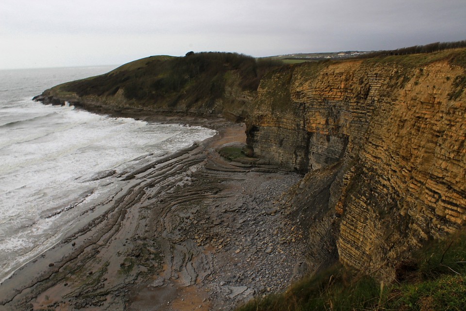


 Artistic / Interpretive:
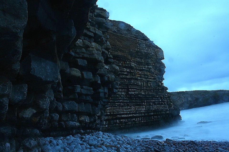
|
Fieldnotes |
|
|
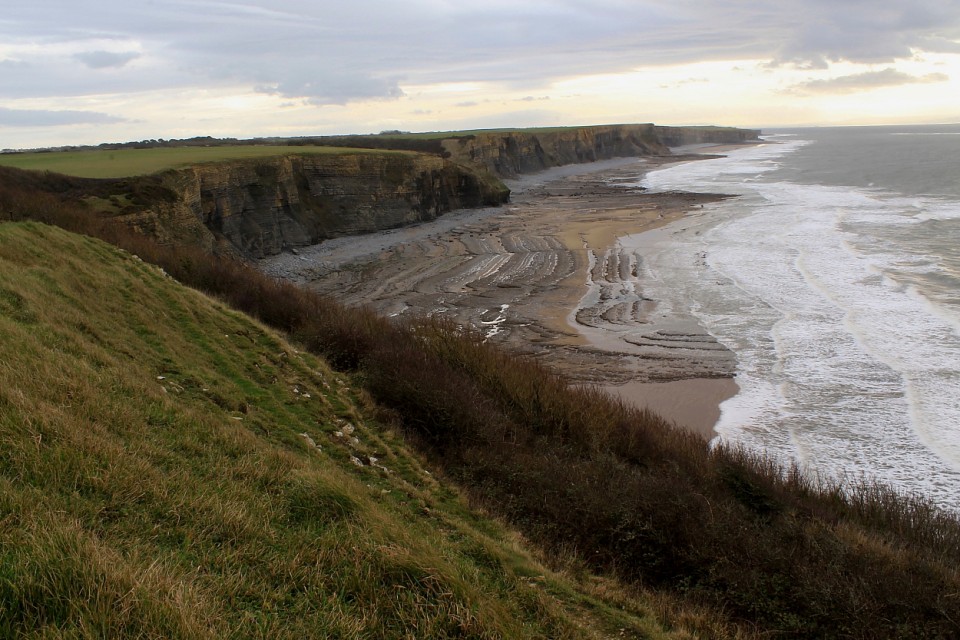
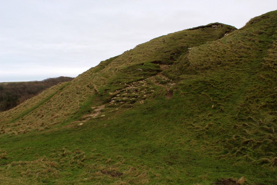
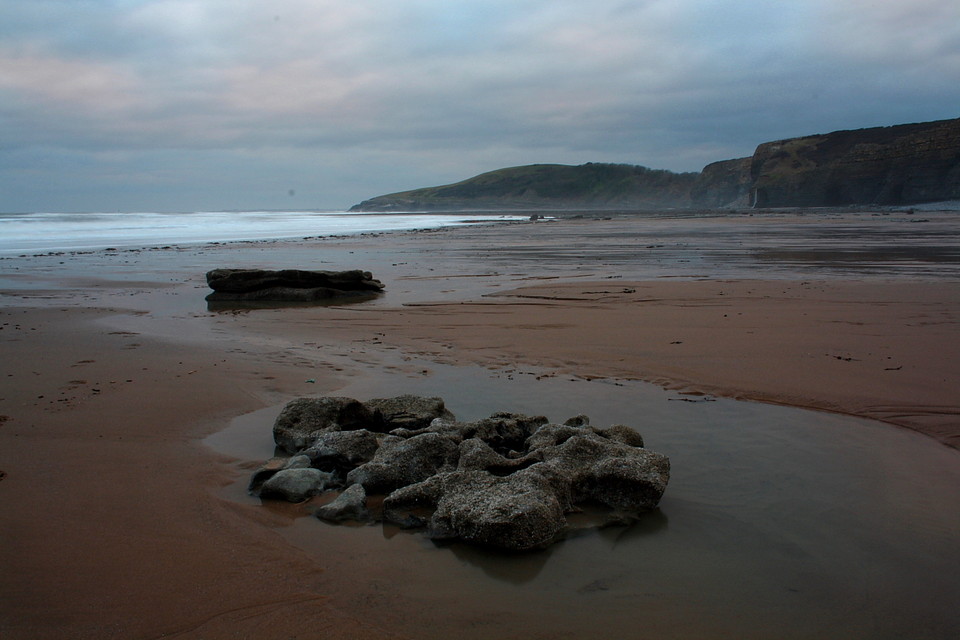
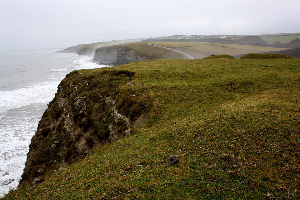
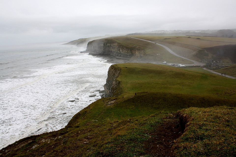
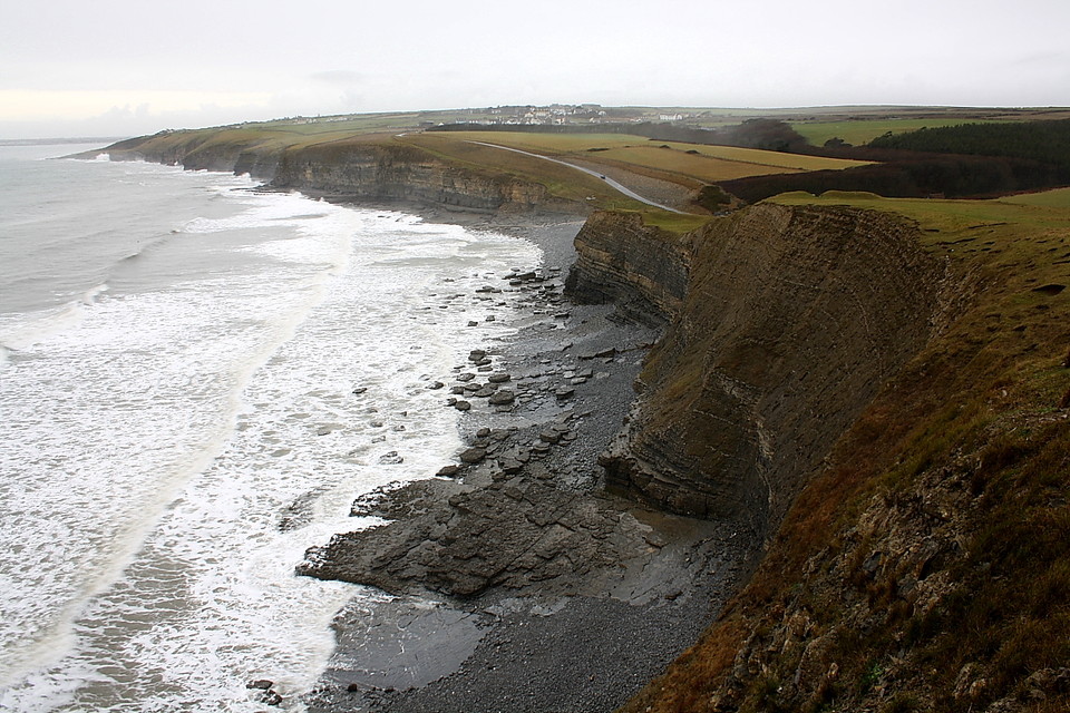
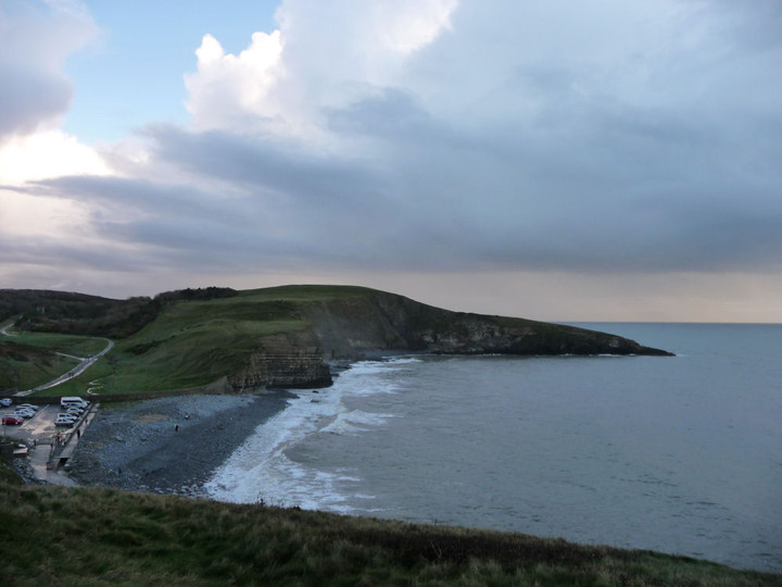
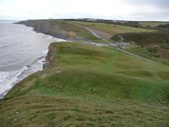
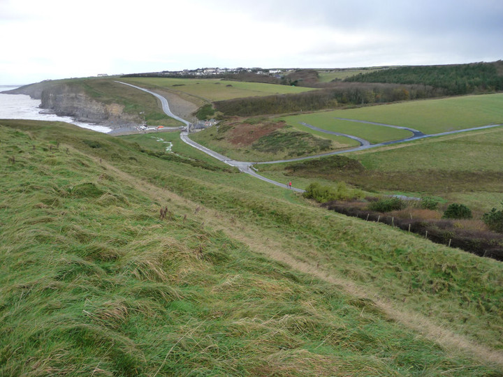
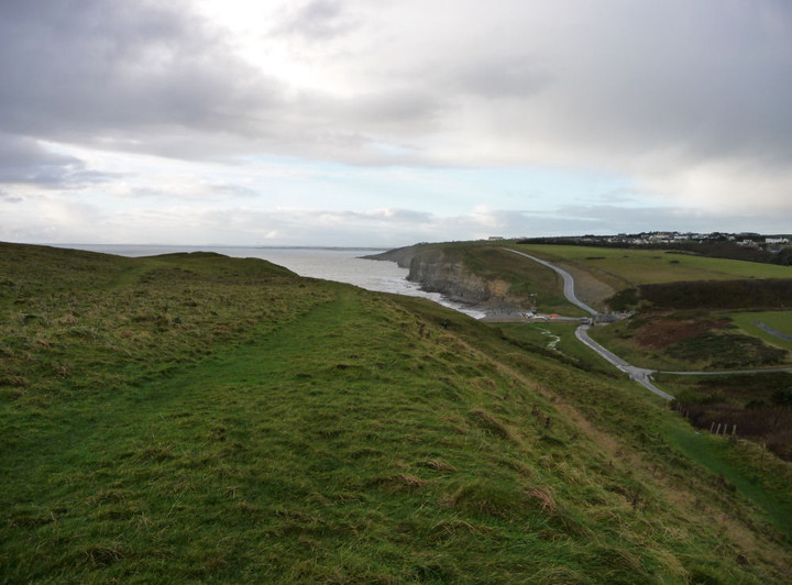
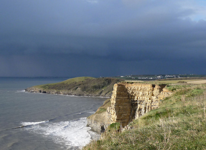
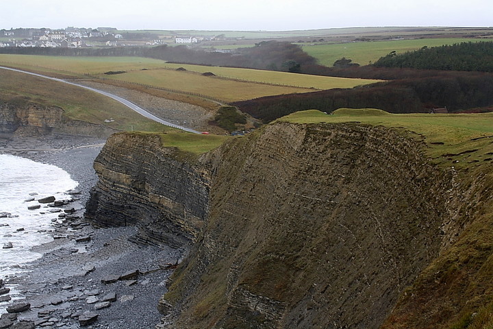
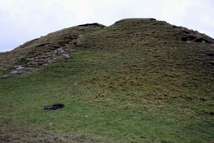
Visited 4.5.14 Directions: South of Bridgend off the B4524. There is a large car park at the entrance to Dunraven Estate £3.00 all day. There is also a small shop selling ice creams, tea bucket and spades etc. It has been a few years since I was last year. I had quite forgotten what a nice beach this is – especially on a day like today. There were plenty of people about enjoying the sunshine. I had taken Dafydd out for the day and we had earlier visited the renovated Galilee Church in Lantwit Major which now houses a fine selection of early Celtic Crosses / stones and graves – well worth a visit if you are in the area. Although Dafydd was itching to get onto the beach I ‘persuaded’ him that a walk up the headland was required first in order to have a look at the remains of the Cliff Fort. The double ditch/ramparts were a lot larger than I remembered and are still fairly impressive. The ditches were over head height when standing in them. Obviously, there were good coastal views to be had. From here we headed east along the coastal path towards the Cwm Bach Enclosure. |
Posted by CARL 6th May 2014ce |
|
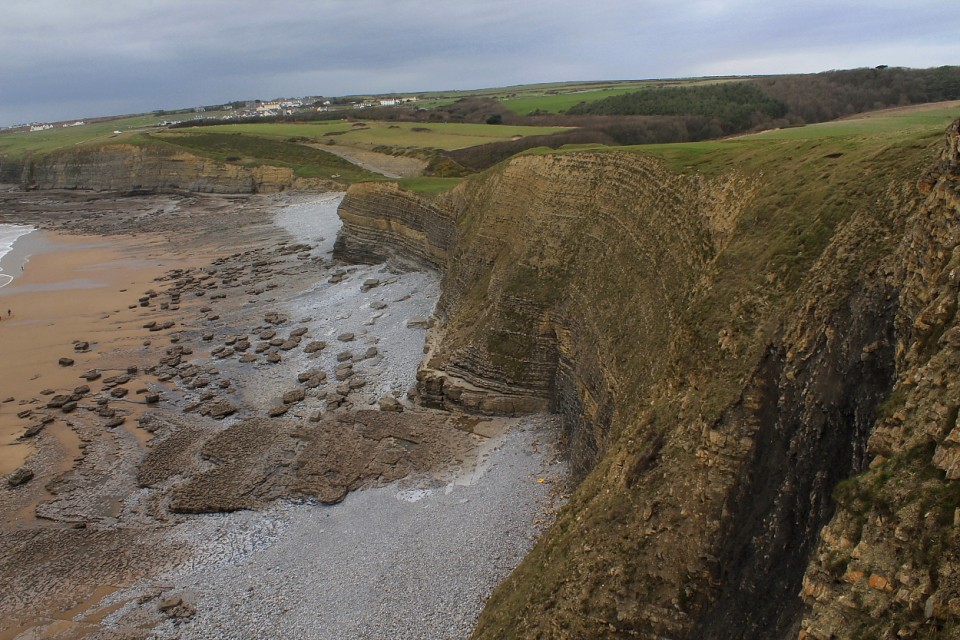
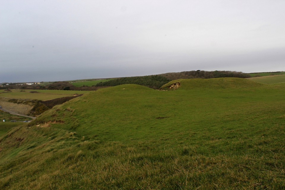
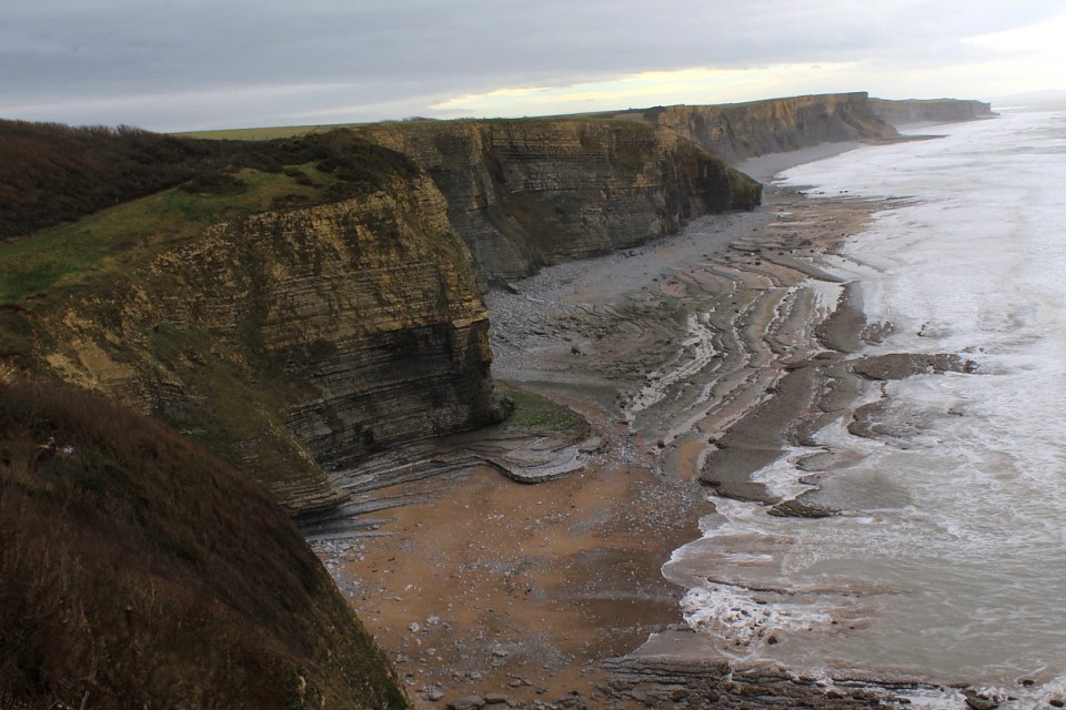
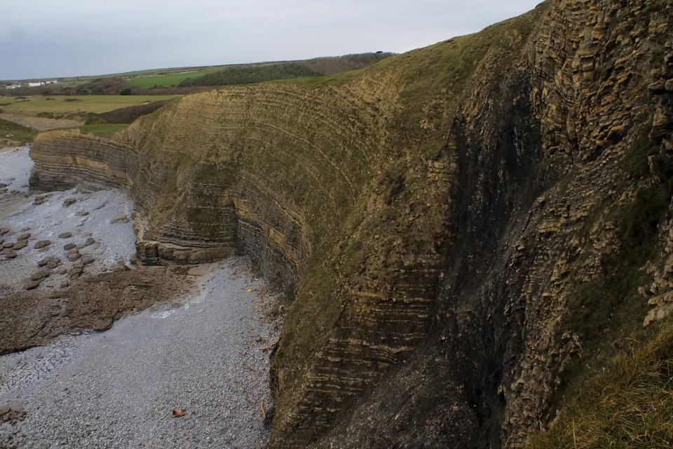
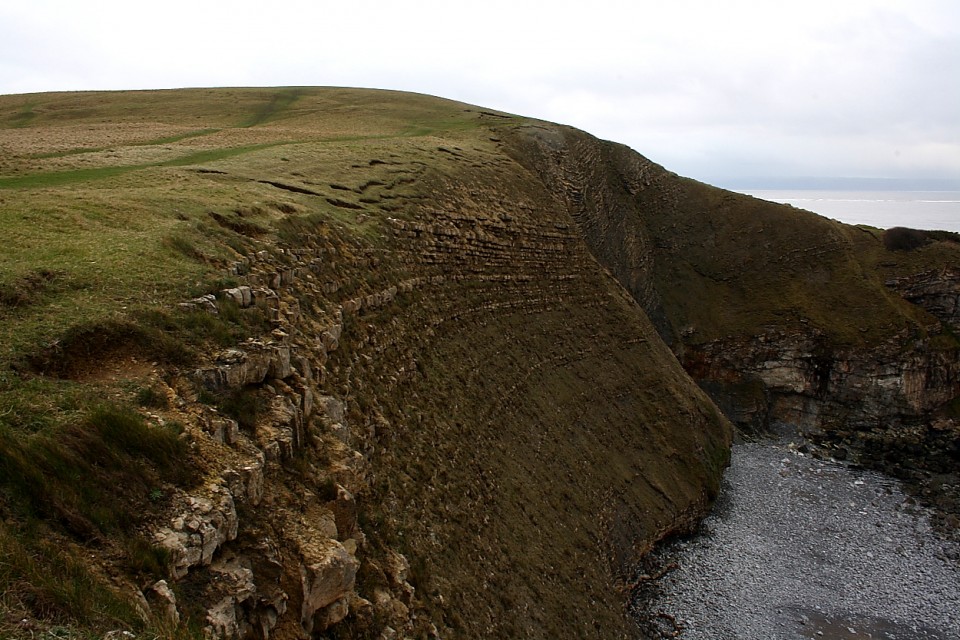
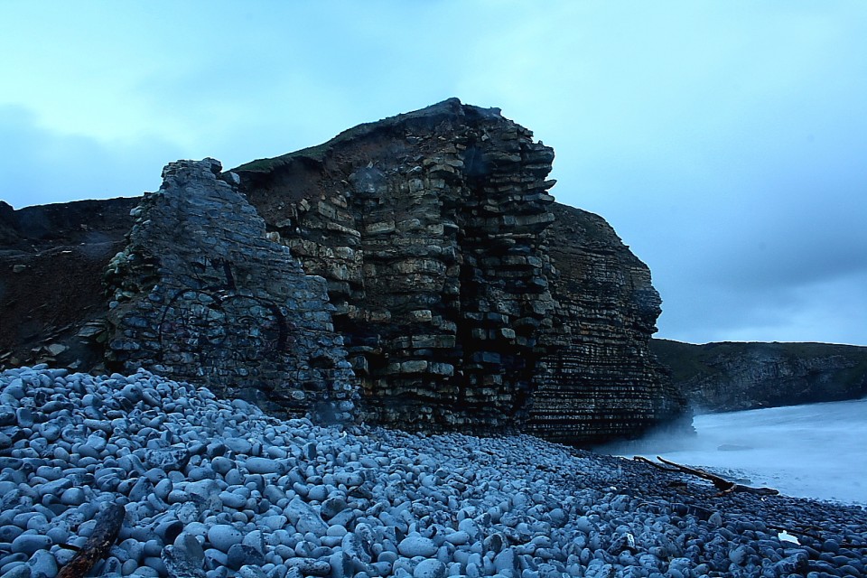
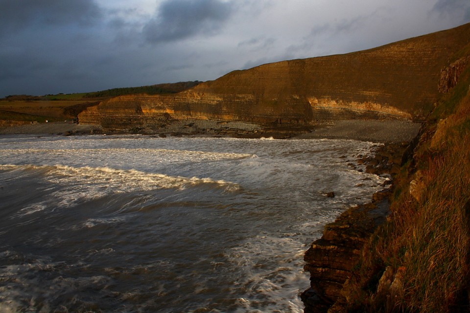
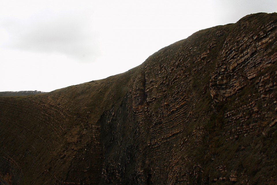
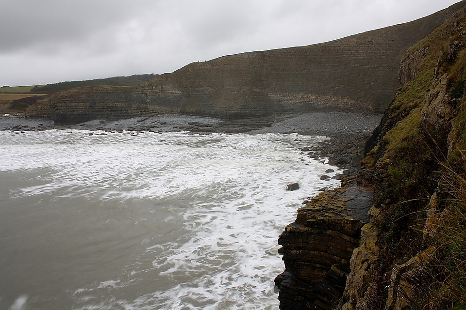
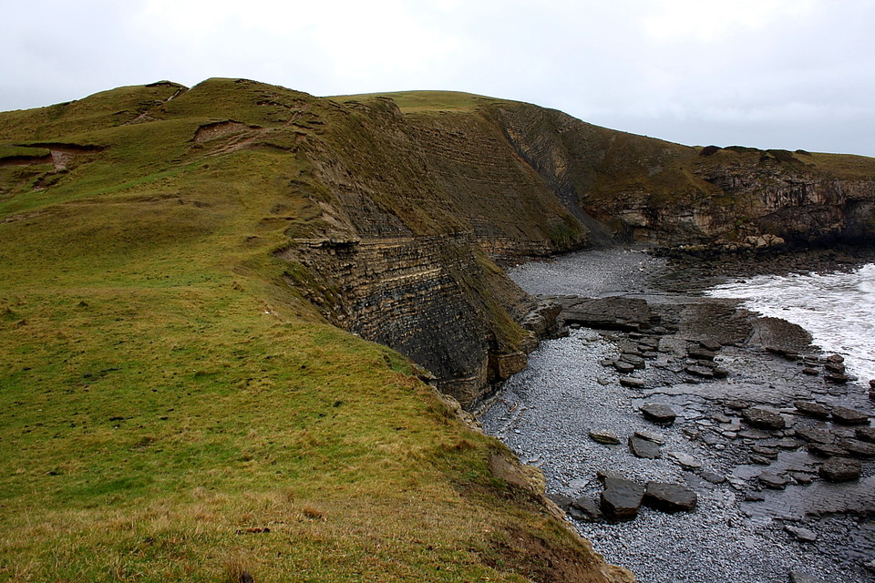
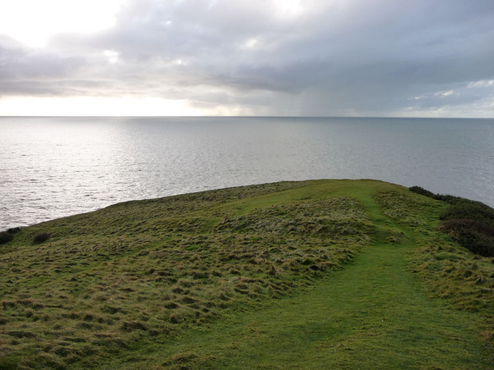
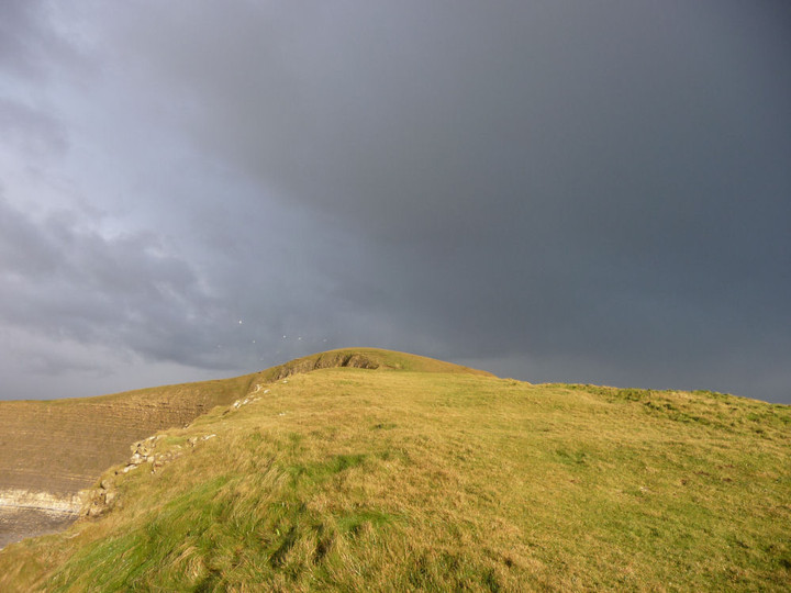
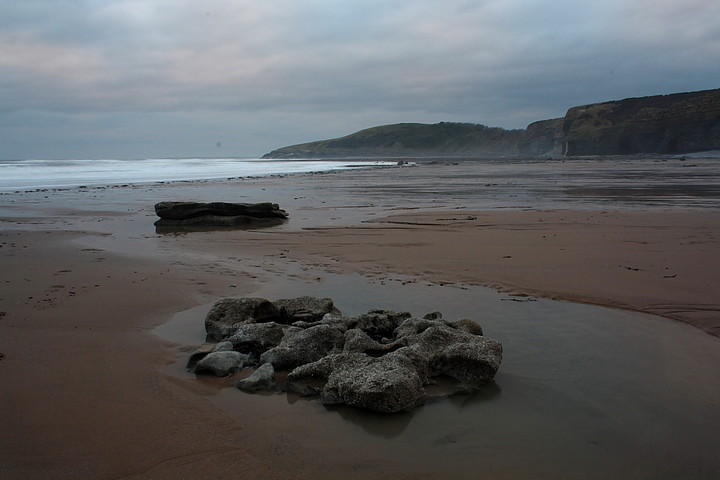
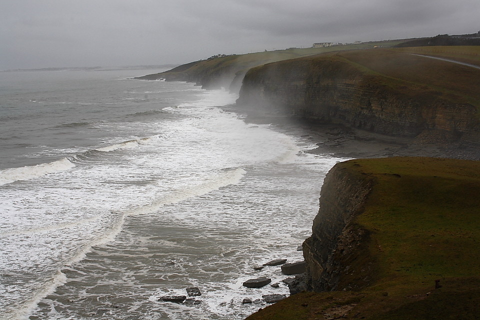
Slowly it dawns upon me just how special this Glamorgan coastline really is.... although, to be fair, the prehistoric treasures are not exactly obvious, particularly in the absence of an OS map. And again, who in their right mind would shell out for one covering the urban sprawl of Bridgend? Indeed. Nevertheless it would be a fine investment, as even a cursory glance at my newly purchased 'library sell-off' copy confirms. Numerous round barrows apart, a whole string of cliff/promontory forts are shown crowning the coastline. Duh! Only been visiting the Mam C here for 25-odd years.... Perhaps the most accessible of these Iron Age enclosures is that which overlooks Dunraven Bay, a little south-east of the seaside town of Ogmore-by-Sea and its near neighbour Southerndown. A newly refurbished road heads southwards from the latter (according to the Mam C the original was in dire danger of falling into the sea) to its terminus at a large 'official' carpark, a magnet for the locality upon those hot summer days which sometimes occur in South Wales. Today, with a hint of drizzle hanging in the air - or is it sea mist caused by the violent pounding of the cliffline by breakers? - there are still a fair few people about, walking dogs and what not. The majority head for the remains of Dunraven Castle, the ruins of a rather dodgy mansion which defile the north-eastern flank of the much older enclosure, presumably having destroyed the defences in that area. The Mam and I, of course, head for the cliff line and sit a-while upon the relatively upstanding northern ramparts which still bar the direct approach from the car park. OK, these aren't in themselves that particularly inspiring.... but the setting and coastal views most certainly are! A cliff-fort upon a cliff... whatever next? Pragmatic bunch, these ancient inhabitants of what was later to become Wales. The map shows additional ramparts to the south facing any approach from Trwyn y Witch (see Rhiannon's post), although these are - to my mind - nowhere near as obvious. We go for a wander down to the aforementioned Trwyn y Witch... from here the cliff line is simply magnificent, the strata comprising the vertical rock faces, compressed and buckled by primeaval forces too powerful to even contemplate, rising above a raging malestrom of water. Fishermen have apparently been swept off this coastline to their deaths, and it's not difficult to see why. Incidentally legend tells of how locals used to lure shipping onto the lethal offshore rocks, which are a prominent feature of these waters, in order to collect the resultant booty. Today surfer dudes brave the waves in search of spiritual enlightment. The iconic coastline stretches away to the south-eastern horizon and, according to the map, bears numerous other Iron Age fortifications upon its dizzy heights - the nearest just a little along at Cwm Bach. Well there you are. Just when I thought the 'list' was diminishing....way to go, TMA's Carl. The Mam is captivated by a bird of prey which perches upon a post to keep its beady little eyes upon us. Perhaps the greatest compliment I can accord Dunraven is that such a creature does not appear at all out of place here. |
 Posted by GLADMAN
9th March 2011ce Edited 9th March 2011ce |
| Visited as part of a day out looking at cliff forts along the South Wales coast. As with the other sites I visited there was nothing much to see - other than the lovely Welsh coast. Cracking on a fairly rare sunny day! There is a car park in Dunraven Bay which is only a short walk away. |
Posted by CARL 11th June 2010ce |
Folklore |
|
According to Coflein, this fort perches 60m above the sea, with double banks and ditches protecting the land side. Traces of 21 possible roundhouses have been found inside. It was landscaped as part of the grounds of the mansion mentioned below... occupying a romantic situation on a rocky promontory called Twryn y Witch (or the Witch's Nose).. [was] the Castle of Dundrivan (Castle of the Three Halls) where, according to tradition, Caradoc formerly kept his summer court.From p36 of A Handbook for Travellers in South Wales and Its Borders, Including the River Wye, by John Murray (1860), online at Google Books. The OS map shows (a platform of?) rocks on the beach called the 'Dancing Stones' but I can't find any mention of this interesting name. |
 Posted by Rhiannon
27th May 2007ce Edited 27th May 2007ce |
Links |
|
Dunraven Cliff Fort, near Ogmore-by-Sea, Vale of Glamorgan - Part 2Part 2.... Careful now x 2 |
Posted by GLADMAN 27th March 2022ce Edited 27th March 2022ce |
Dunraven Cliff Fort, near Ogmore-on-Sea, Vale of Glamorgan - Part 1Taking a wander upon the great cliff fort. Careful now. |
Posted by GLADMAN 27th March 2022ce Edited 27th March 2022ce |
CofleinIncludes some excellent aerial photos of the hillfort. |
 Posted by thesweetcheat
3rd December 2012ce |