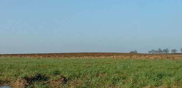
Further to what Dave says English Heritage only records a single barrow here – the round barrow to the east of the track. It has indeed been almost destroyed by ploughing with the earth and chalk body of the mound being spread across an area of 30-40 metres. If you crouch down though you can still see a slight hump in the field against the horizon.
The barrows position is interesting as while the land drops away by a nearly a hundred metres within a mile to the west to the River Bain, the barrow is just below the eastern crest of the hill and seems positioned to overlook a series of 5 or 6 valleys on this more gently sloping side of the hill. What could be more important however is that between the barrow and these valleys is a minor road that runs roughly northwest-southeast along a flattened ridge that was formerly used as a prehistoric trackway along this part of the Wolds. This trackway is now known as 'Bluestone Heath Road' and runs almost parallel to the 'High Street' trackway 3 miles to the east on the other side of the Bain but it appears that it was either felt to be less important and attracted less barrows or if they existed here in the past they have now been lost.
Fact fans: The large dishes close to the barrow that look like they come from a sci-fi filmset formed part of a cold war microwave communications system code named 'Ace High'. They can be seen on the goole map photo to the northwest of the barrow.
There are two mounds here on the O.S. map.
Unfortunately both seem to be obliterated. The one east of the farm track is barely discernable; a very, very slight 'hump' in the field. The one to the west of the track appears to have had an underground reservoir complex built on it.

 Posted by Chris Collyer
 Posted by David Raven