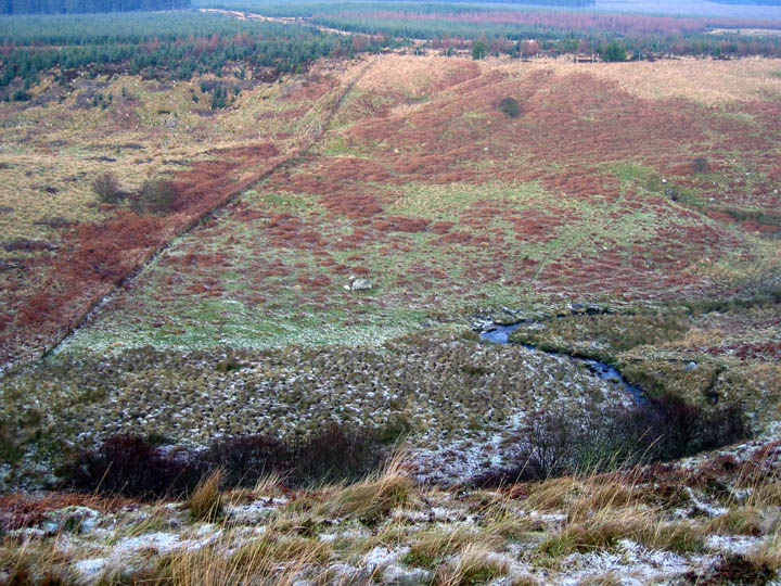
Managed to follow-up my exploring around the Fontburn Reservoir area. These findings are in the area S of the Fallowlees Burn, W of the main cup-marked boulder described by Beckensall as Fontburn b. There is little surface rock on much of the moorland and there also appears to be some limestone in the SE which may account for natural erosion patterns on some rocks, the presence of sink holes in some areas, and the location of the reservoir.
Hob's grooved boulder, at the centre of a denuded cairn, is located further E of his reference within the enclosure that is crossed by the wall. The grid reference is approximately NZ 027 936. It lies just below a prominent double knoll E of the bridlepath which turns from a junction to run (largely invisible on the ground) in a NW direction.
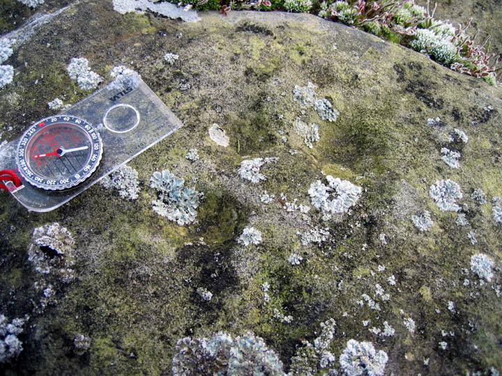
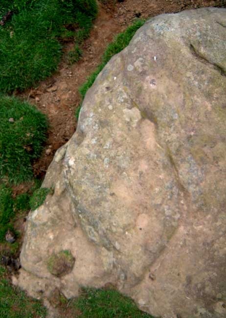
Further W, a rock with clear cup-marks (see photo) lies within the rectangular improved field at grid reference NZ 01667 93254, close to the line of bridlepath, about 60m S of a gate in the NW fence. This small, flat rock is, I think, previously undescribed. It bears 2 deep and up to 3 shallow cups. It may also have come from a cairn, now dispersed. The field contains other small cairns (which may be from field clearance) and enclosure banks.
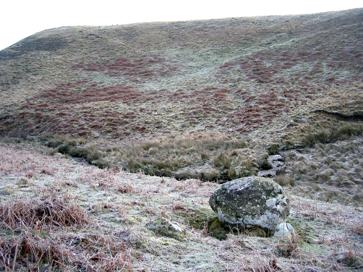
Near to the point that the Fallowlees Burn emerges from the gloom of the conifers of Harwood Forest there is, about 10m N from a prominent bend in the stream, a large, rounded boulder perched on a bed of what looks like horizontal limestone (NZ 01277 93129). It is probably a stone perched by glacial action. Markings on the top surface are probably natural erosion.
If these new markings are confirmed, the cup-marked stones in the Fallowlees/Fontburn region appear to lie on both banks of the Burn marking its course from the W. Marked rocks appear again SW of the Forest in the intricate cup and ring markings of Tod Crag which has been suggested may lie on the course of an old routeway.
The slopes either side of Fallowlees burn are "an area of prehistoric enclosures and barrows". So quoth Mr Beckensall. There are a number of circular ditched features, at least four inside a 1.5 mile radius of the reservoir, the easternmost being Nunnykirk. It's been suggested that this is a ritual enclosure, as it doesn't seem to be a defensive feature, but it's not alone. There is a small circular ditch at approx NZ036937, only about 10m across.
A larger one, on the southern side of Fallowlees burn is larger, is perhaps 30m or so in diameter. As many sites in the area hint at multi-phasic use, dating these features is not possible without the pro's coming in and doing their stuff with the harcky-ological technique. But 3 things that can't be denied are the recorded examples of rock art, which may be taken as a clue that at least some of the enclosures in the area are prehistoric, whatever their purpose may have been, ritual? Cattle? Rituals involving cattle? No-one knows for sure. The marks on this stone, if confirmed as rockart, would raise the number of sites to 5 (if the boulder near the table slab at Fontburn is taken as a separate example)
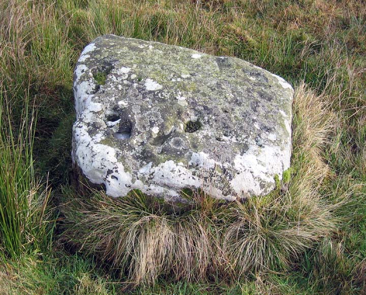
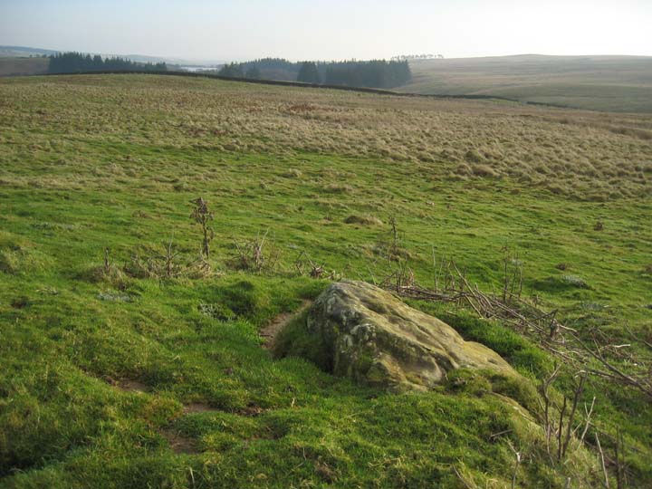
This simple, but typical, example of rock art is set a few metres away from one of these enclosures, in a patch of nettles that stand out like a sore thumb, indicating something going on underground. The stone has at least 4 cups and 2 grooves, and though prone, may have been upright at some point. It is in the middle of a small mound, and is not marked on the maps, nor is it mentioned in any lists or books I've seen. It's easy to spot the patch of nettles from the bridlepath, with the stone peeking out.


 Posted by Hob