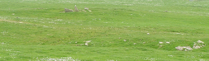
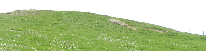
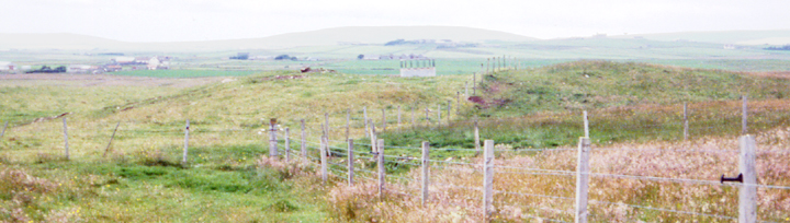
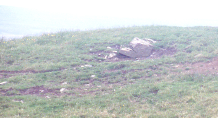
If you go "around the houses" there will be a way in through gates, but this being the end of a decent dry period I took a shorter but naturally difficult route into the field containing the bulk of the cairn. By the field boundary is the mound with large exposed stones that I photographed on a previous visit believing it to be part of the cairn. Now I have my bearings this is not recorded as connected. But there is a strong suggestion, in my mind, that all is part of a bigger site that arcs around this hillslope. Perhaps it is all on some glacial feature, glacial action that is presumably the cause of the very large boulders being embedded in the banks of what I assume to be a former burn further upslope. On this part of the hill several features appear to run into one another, and a few of these also appear to have been trialled for archaeology..
Had a bit of time on my hand before the Knowes of Trotty tour so paid this a visit. Even CANMAP is ever so slightly misleading, for the fence that was my guide is actually smack opposite the Grimeston signpost on the Stoneyhill road below the Staney Hill standing stone. The two tumuli in the first field (Feolquoy barrows HY3174155) do have a few nice stones on the surface. There is a tumulus in the field opposite the one behind them (probable barrow Feolquoy mound HY 317157). Only I didn't notice it because my attention was taken by the immense stones in the field I passed through. Felt as if they were all over the field, like the fallen remains of a giant castle. Some kind of rocky outcrop I guess. And on the surface loose foot-deep slabs left over from the giant's dominoes. Surely at some stage nature here has been added to by man. One of the slabs someone may have thought to remove as it has a smooth-bored hole that has to be fairly modern.
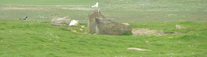
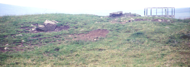
Unfortunately I was unable actually to go into the field with the tomb as both sides of the fence are heavily guarded with electricity. Actually if I'd had time and courage there was a spot some way down the hill that I could have snuck through. Several decent areas of stonework revealed. This tomb is an heck of a big 'un and it actually goes through into the next-door field - the NGR is for the field at the right.
The first speaker at tonight's O.A.S. meeting described his work at a third Staney Hill site he simply called Henge [none of the archaeos present disputed the term, so it is Orkney's 4th if Bûkan is one], 80m diameter and cut across one end by the road. Described as little known either it has a different name for the NMRS or another antiquarian one as it rings no bells. Unfortunately I could not identify the place from either photo shown. One was of a putative entrance ,though the devil's advocate says it resembles the passage into a field across a ditch if there had been a field boundary there once. I might even have images myself if I knew where it was !
The only comparable structure on Mainland, a horned passage grave surviving 60x13x102m, was found in at Hurnip's Point in Deerness at HY5440634 during a 1991 dig on much later boat-noosts.
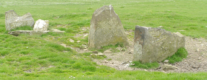
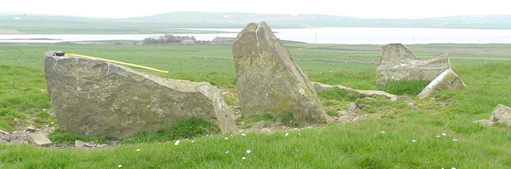
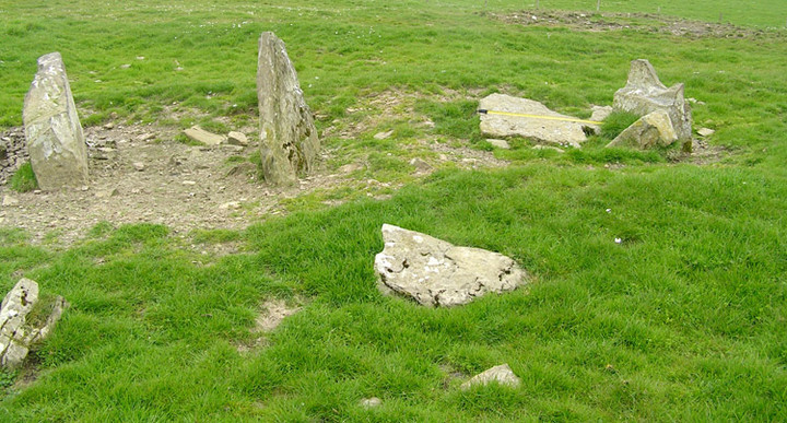
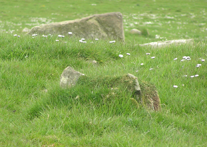
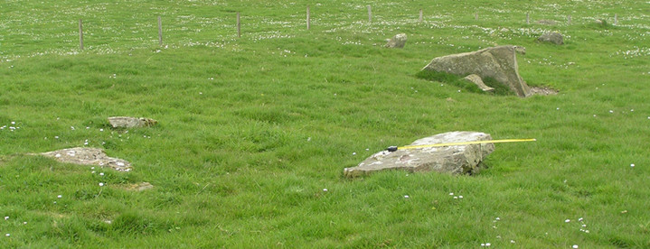
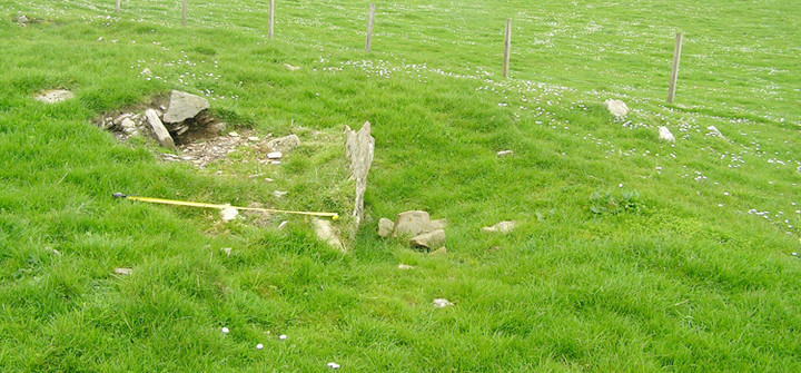
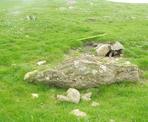
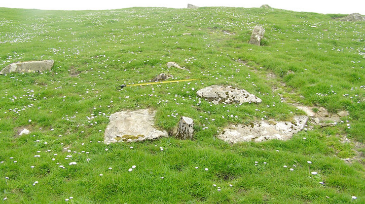
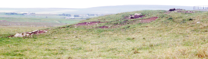
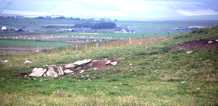
RCAHMS NMRS no. HY31NW 51 the wasted remains of a long chambered cairn that would, if it only has one stalled chamber, be the largest recorded in Orkney with the main body (i.e. excluding horns) 67m long by a maximum of 27m across the SE end's horns (main body's waist down to 11m). CANMAP shows it but not the O.S. T'other side o't' road from the standing stone a tumulus is shown alone in a field on the O.S., and the cairn is along the western edge of the field behind that about the 30m contour line [apologies for not listing it sooner Hobs, Moth, Jane !]. It is horned and may have a concave facade. The latter is unrecorded for Orkney which further marks it out as a site needing excavation.