The Modern Antiquarian. Stone Circles, Ancient Sites, Neolithic Monuments, Ancient Monuments, Prehistoric Sites, Megalithic MysteriesThe Modern Antiquarian


Steep Low

Cairn(s)

<b>Steep Low</b>Posted by postmanImage © Chris Bickerton
Nearest Town:Ashbourne (11km SE)
OS Ref (GB):   SK123560 / Sheet: 119
Latitude:53° 6' 2.44" N
Longitude:   1° 48' 58.59" W


Discussion Topics0 discussions
Start a topic


Show map   (inline Google Map)

Images (click to view fullsize)

Add an image Add an image
<b>Steep Low</b>Posted by postman

Fieldnotes

Add fieldnotes Add fieldnotes
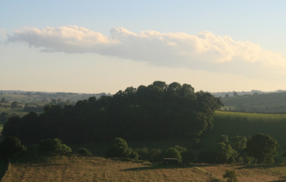
Today on large scale O.S maps Steep Low is marked as 'Tumulus - Site Of'...
However John Barnatt disagreed with this in his Barrow Corpus and noted the mound as a "natural rocky knoll".

Happens alot in the Peak District....Confusion starts with the word 'Low', which usually means high anyway, and can refer to either a conical/rounded hill or a burial mound. It's pronounced 'la' (from Olde English 'hlaw' for hill?), by old school Derbyshire folk.
stubob Posted by stubob
2nd January 2005ce
Edited 12th March 2005ce