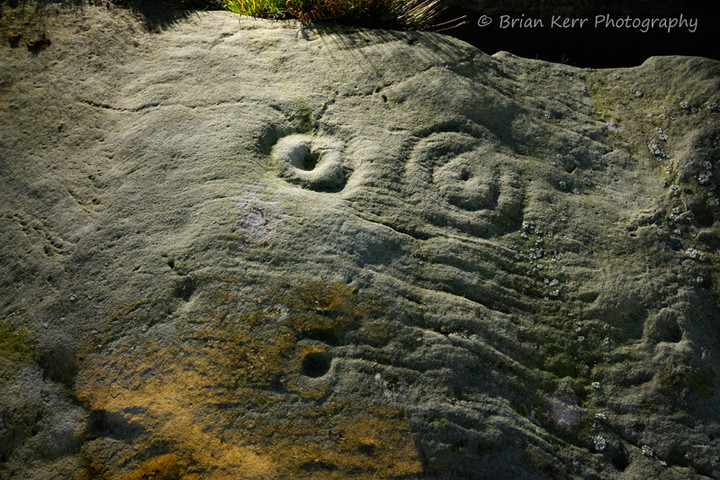
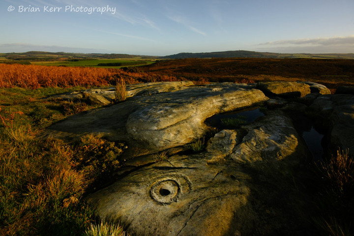
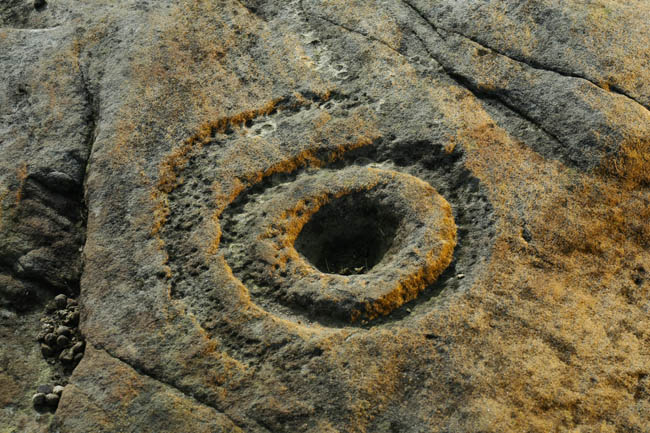
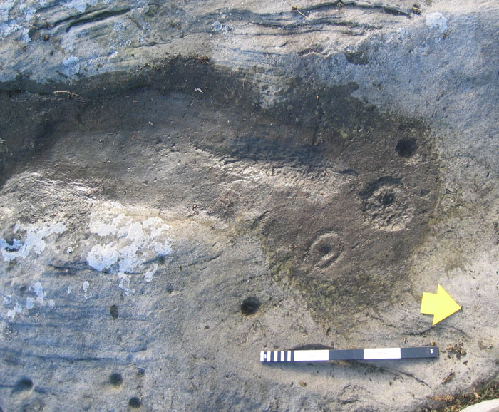
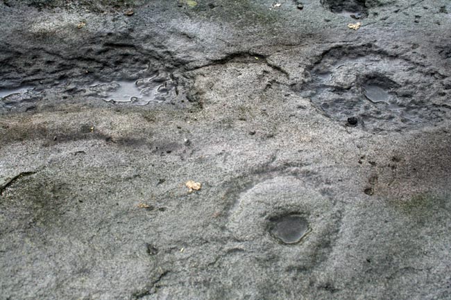
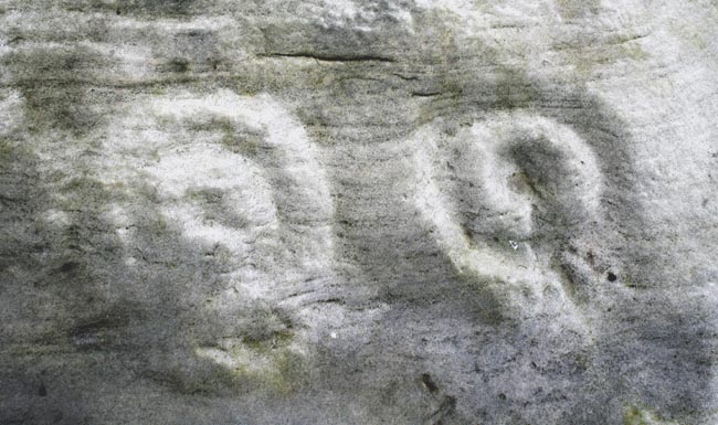
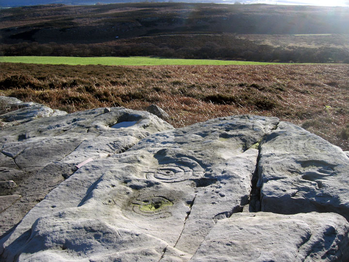
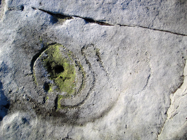
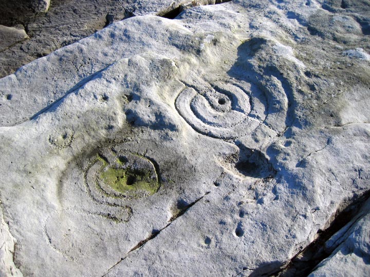
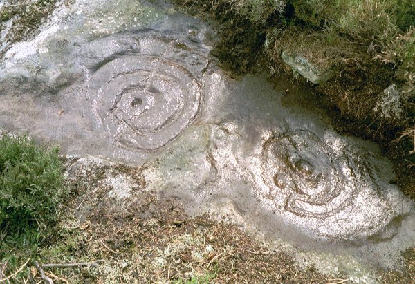
The photos here by Jan and Gus show what it looked like before the excavation. It looks a bit different now, the cairn isn't there at all. Instead, there are a couple of motifs that were previously overlaid by the cairn. The results of the excavation concluded that the outcrop had been marked, then some of the carvings had been quarried, then re-marked, but in a way that implied a lack of understanding of the original motifs, and in a much cruder manner. Now I think this might be being a bit harsh on the Bronze agers who made the cairn. The crudeness of execution could possibly be that their motifs haven't eroded quite as much, and just because they are not placed in a manner that allows the running of water from one to the other, doesn't make them cruder as such. Whilst they may have not known the meaning of the original markings, it's got to be highly probable that their own symbols, which are more complex, had meanings of their own.
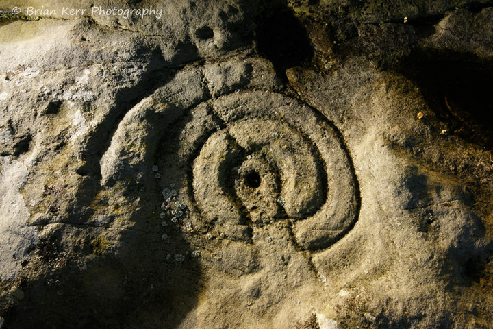
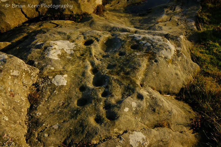
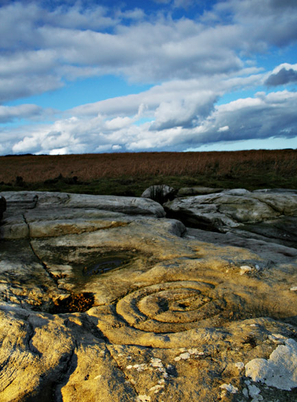
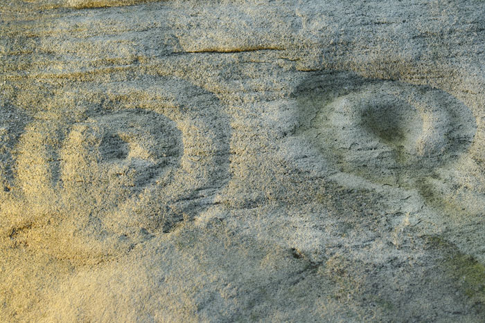
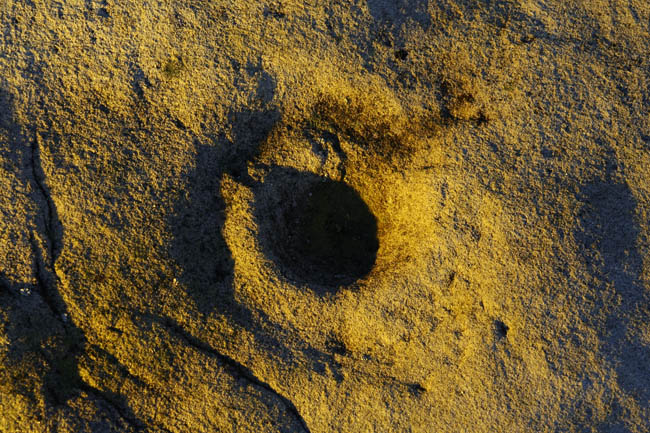
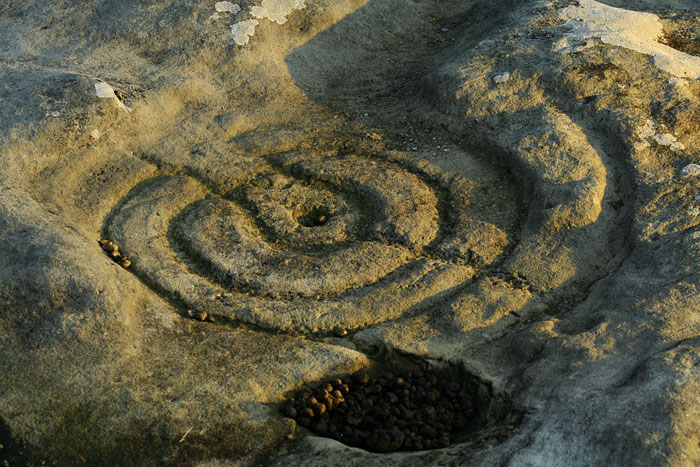
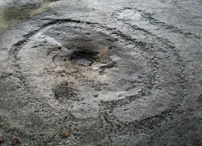
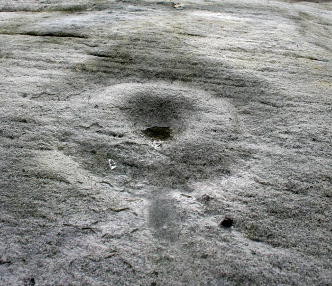
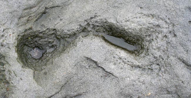
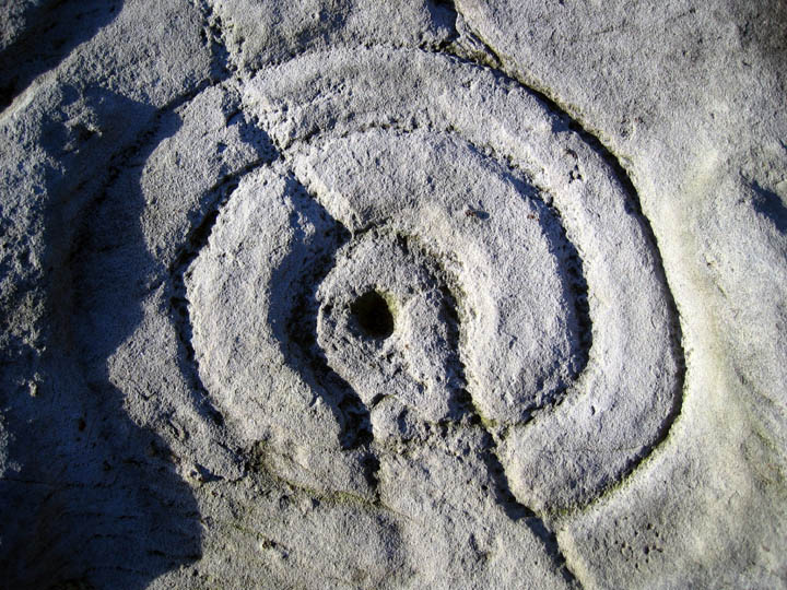
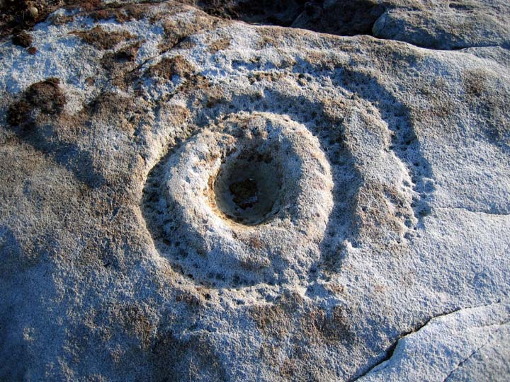
It's a great place to check out fresh peck marking. The two most complex designs are so clear you can count the individual pecks, they're quite shallow and form unique designs, with closed penannulars and a strange keyhole shaped thing with a serpentine tail. There's also an excellent example of what are referred to as enhanced channels. This is one of the ones that would have been covered by the cairn.
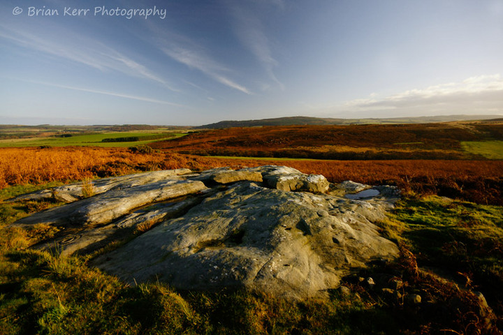
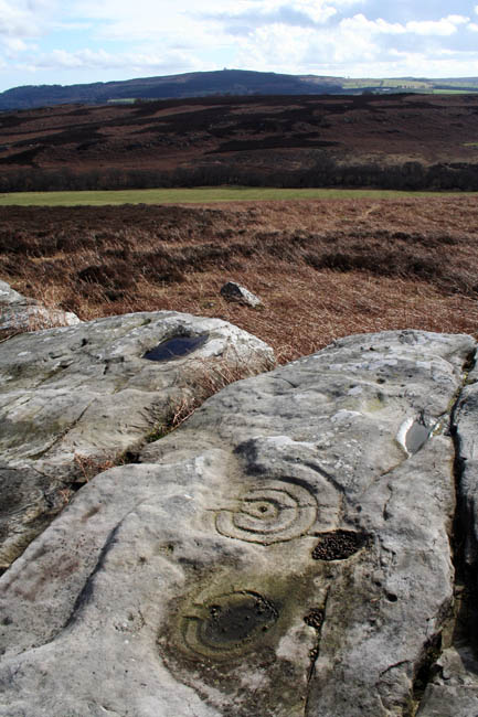
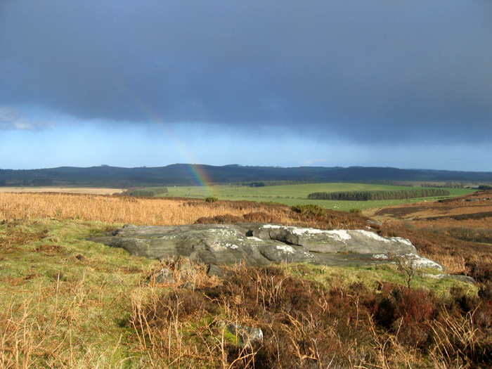
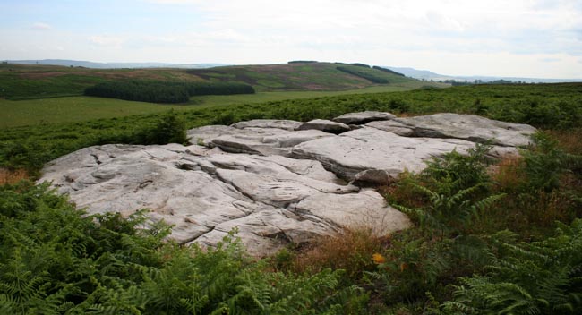
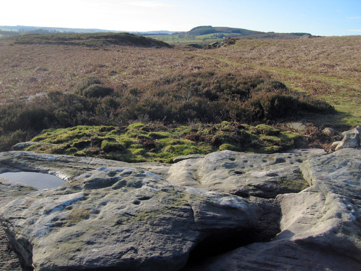
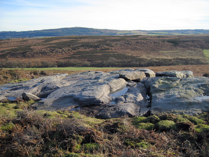
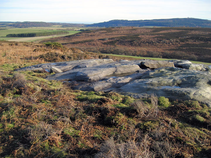
I'd definitely recommend visiting in dry weather when the bracken is low, as there are bogs and the bracken tops 6 feet in places. The ground is very uneven too, so it's quite easy to trip over boulders, or have a foot or even a whole leg disappear into a crevice. There's a IA settlement to the west and some BA cairns just to the east, but these are invisible in the high bracken of summer.
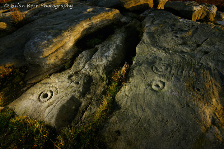
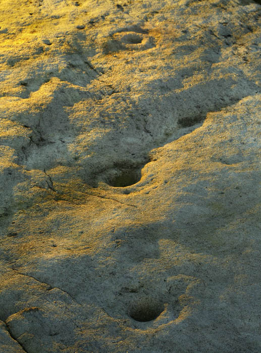
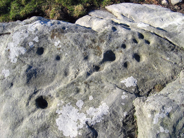
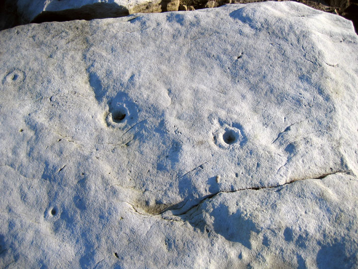
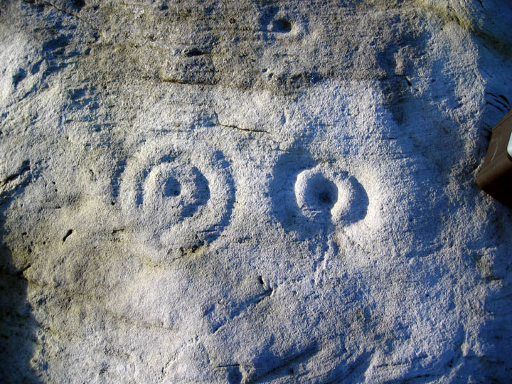
I didn't have time to look for the other panels, but the main one was enough to make me quite content. There are enough motifs, some clear, others really faint, that I found an hour not long enough to appreciate the place properly.
Provides a readable interpretation of the sequence of rock carving on the outcrop arising from an excavation by Clive Waddington in 2004.
Rock surfaces carved in the early Neolithic (Phase 1) were later partially quarried and new symbols applied to the exposed surfaces. The Phase 2 carvings are more varied but more crudely executed and take less account of the rock surface. Shortly after they were made, it is likely that they were covered by a cairn incorporating an Early Bronze Age burial cist positioned in a cleft between massive slabs of quarried rock, some with the ancient cup and ring markings. At a much later stage, the outcrop and cairn was embedded into field boundaries of the Iron Age or Romano-British period which may have been partly protective from more extensive quarrying.
The changes in carving between the two phases may imply that the original significance had been lost by the Bronze Age but the power of an already ancient place was adopted to provide a ceremonial monument for the dead.


 Artistic / Interpretive:
 Posted by Hob