|
|

|
|
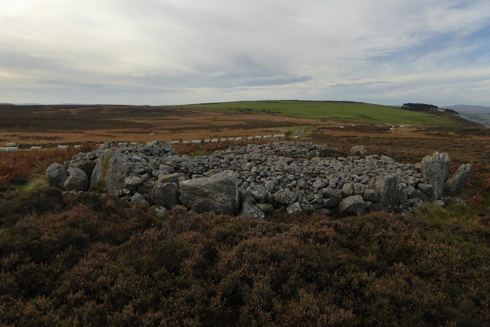
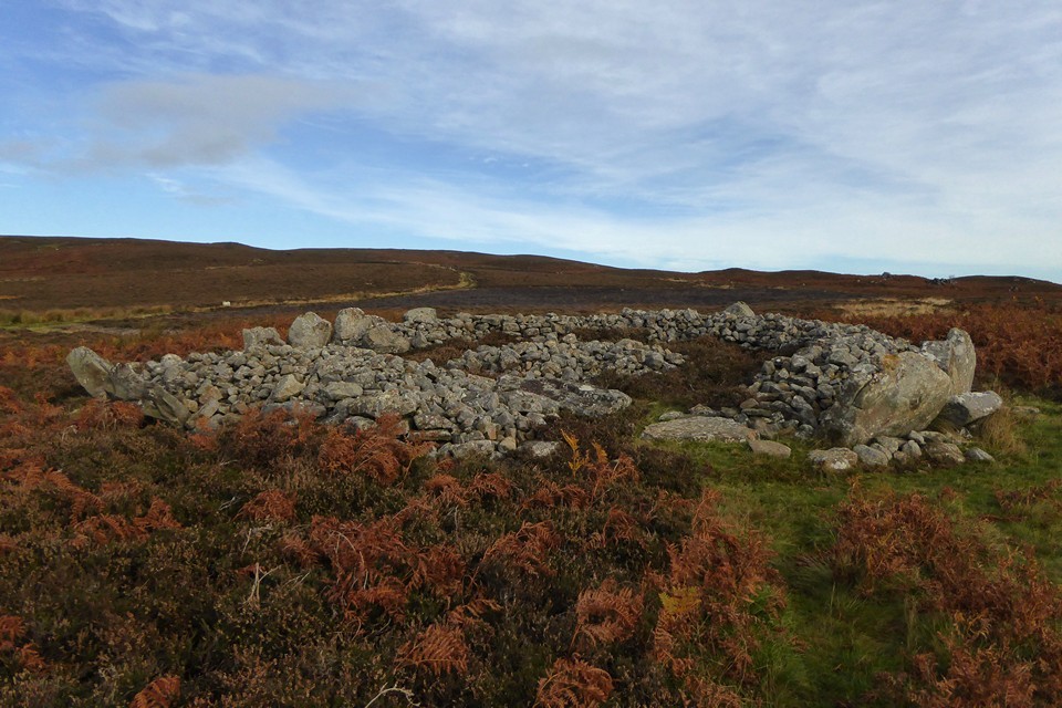
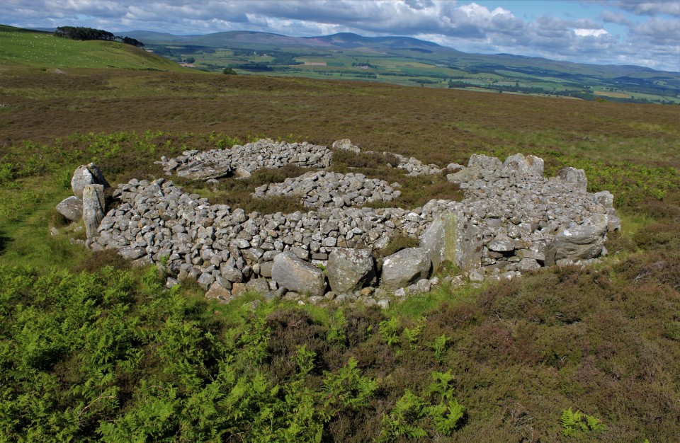
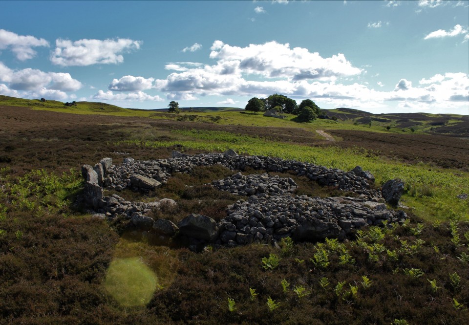
Blawearie CairnKerbed Cairn
|
||||||||||||||||||||||||
|
|
|
Images (click to view fullsize) |
|
Photographs: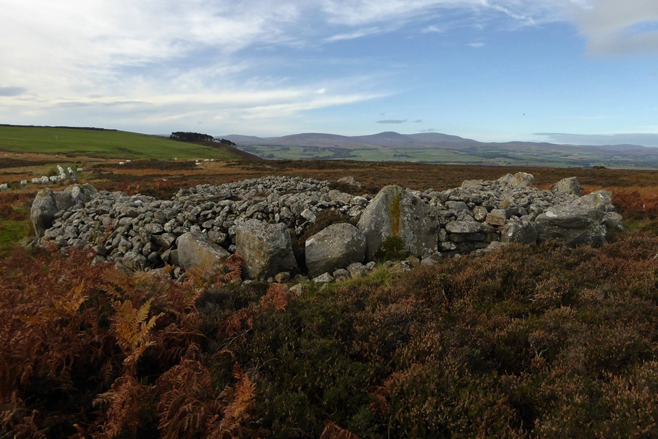


 Maps / Plans / Diagrams:
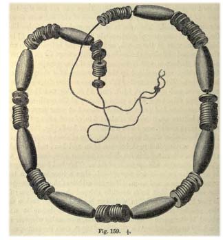
|
Fieldnotes |
|
|
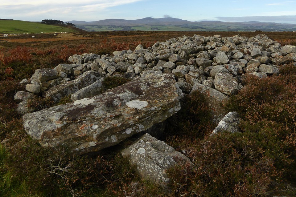
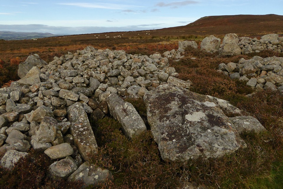
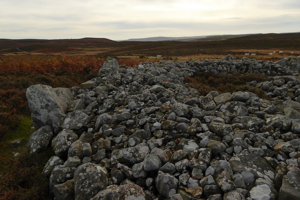
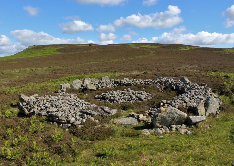
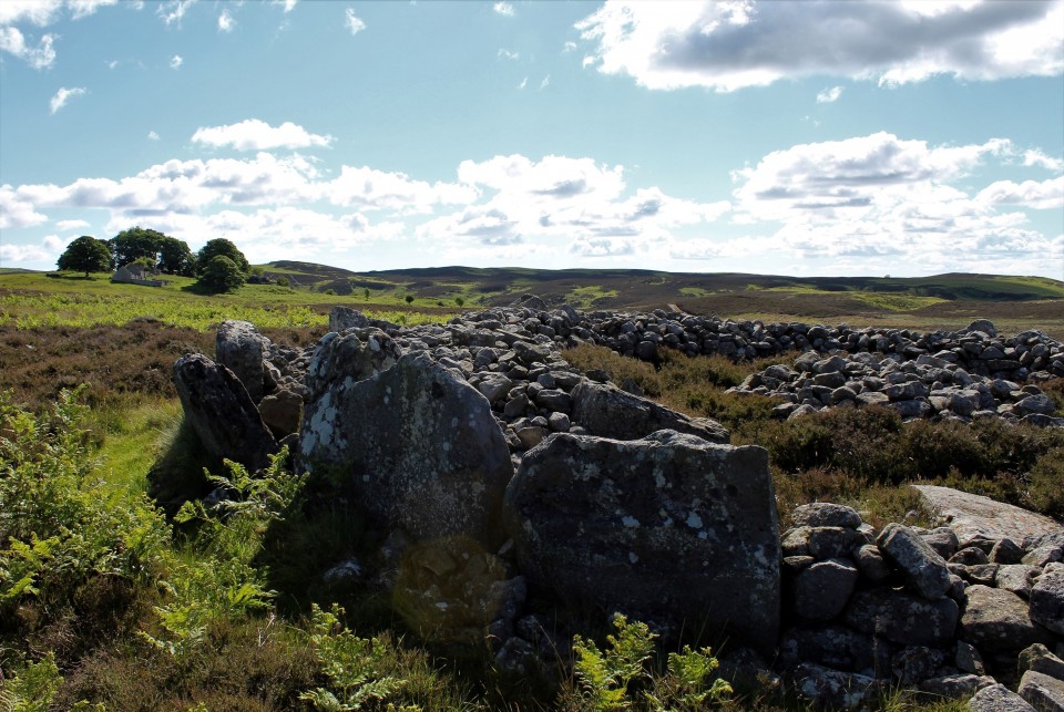
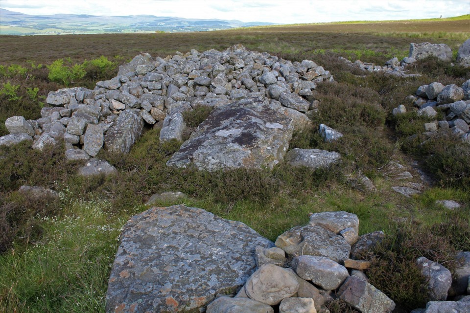
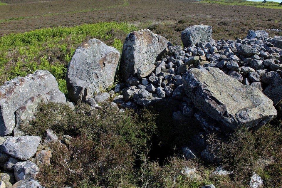
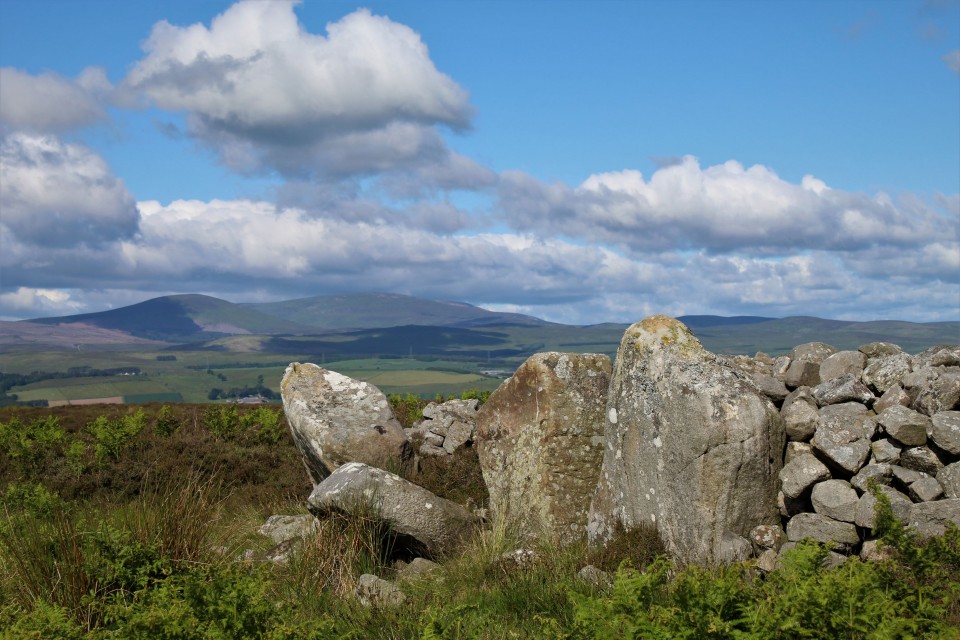
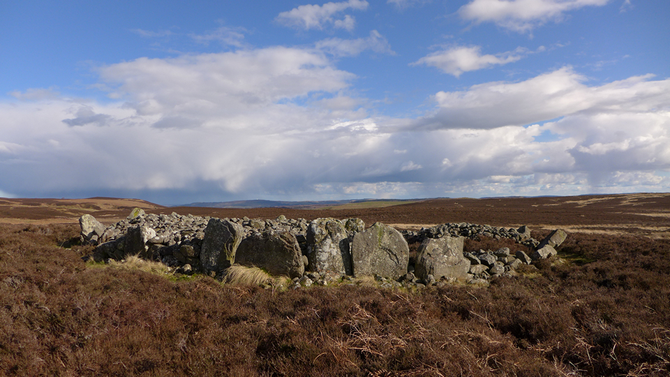
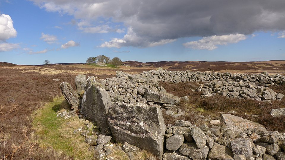
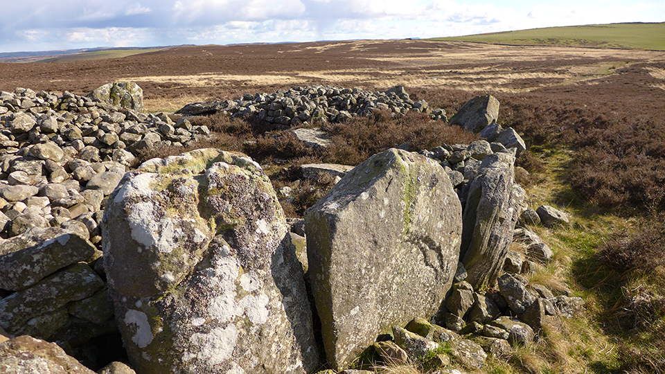
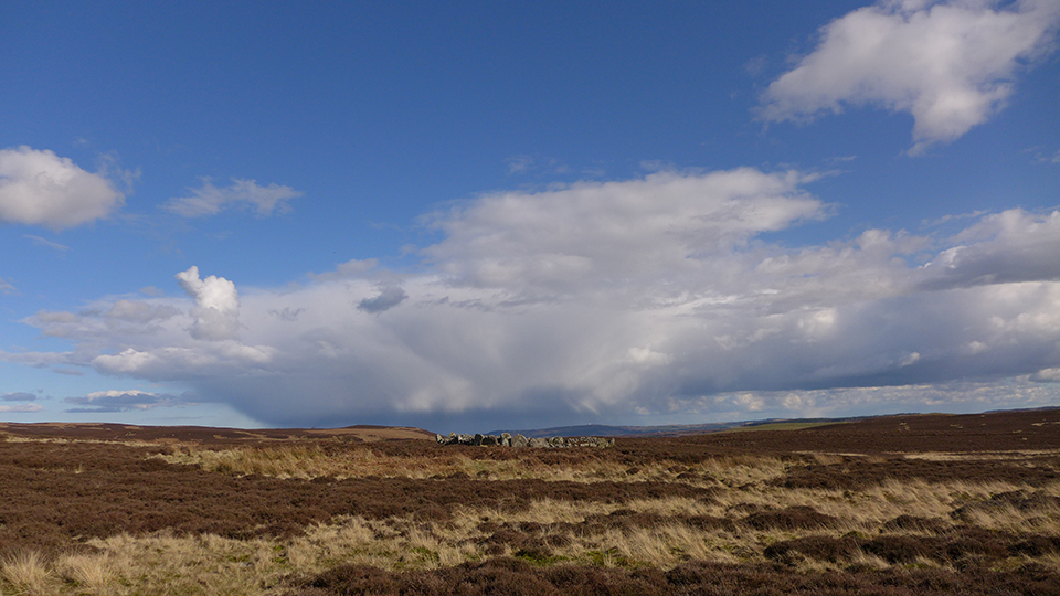
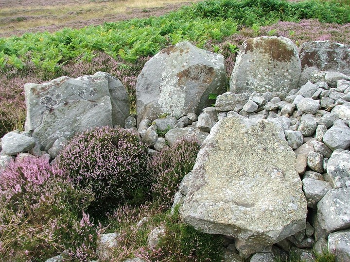
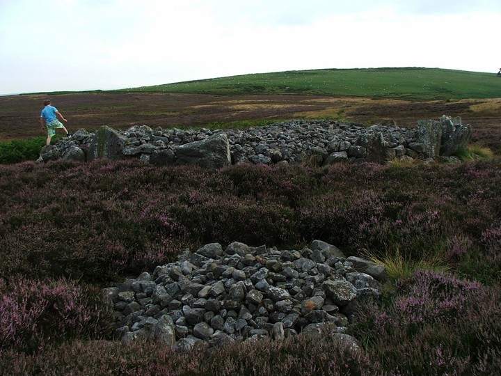
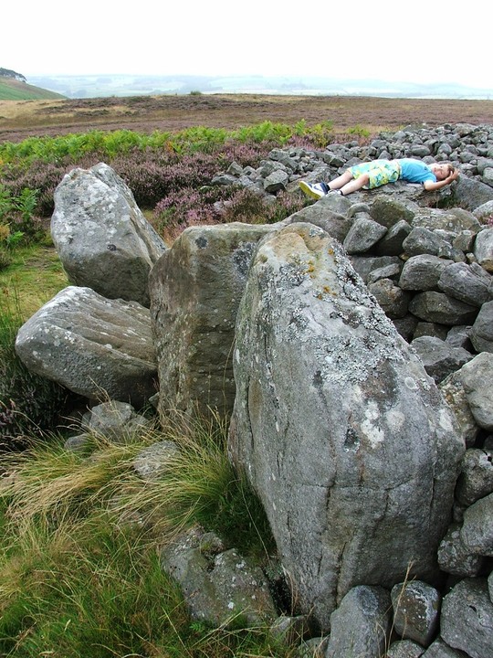
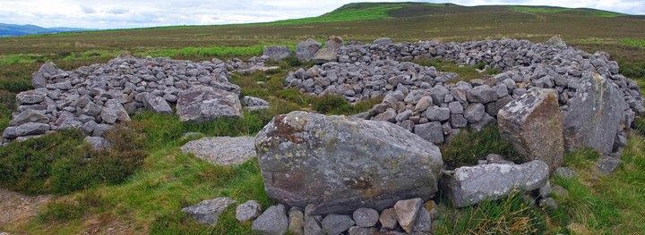
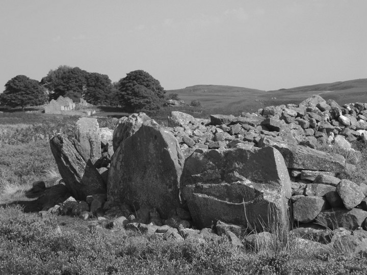
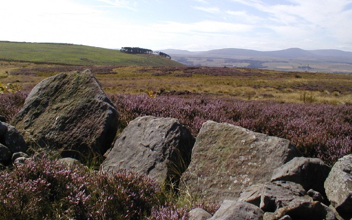
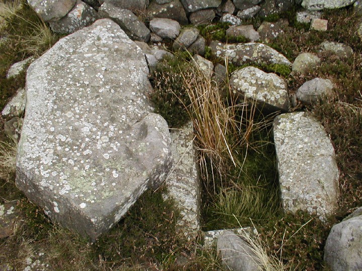
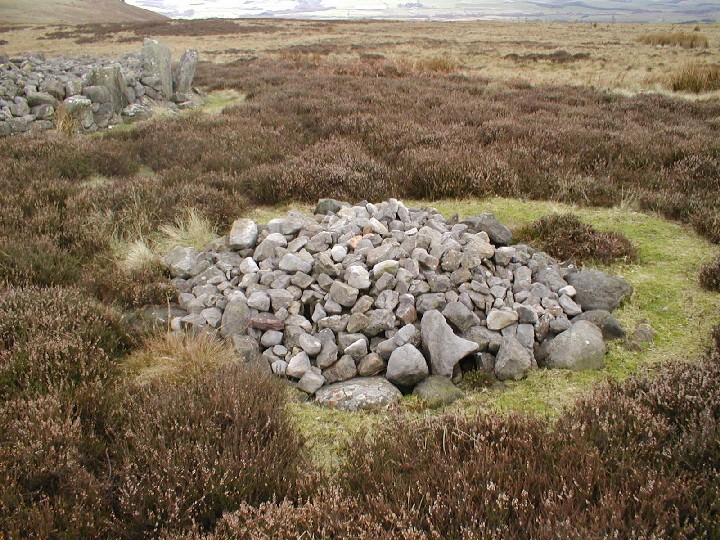
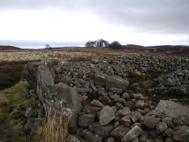
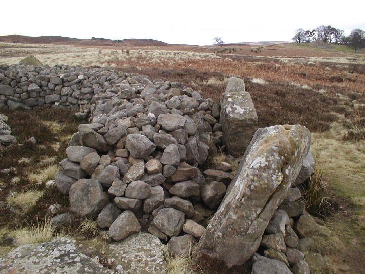
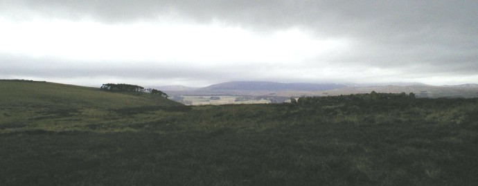
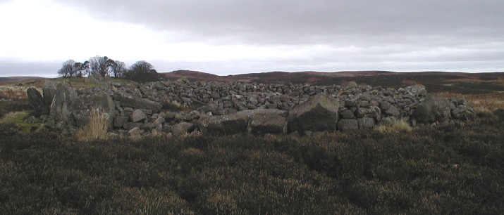
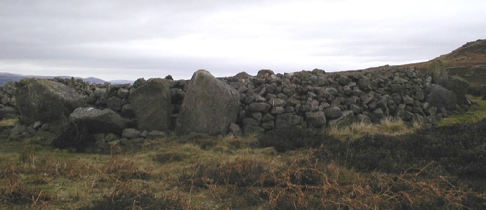
30/04/2016 - It was supposed to be a quick bob up Ros Castle and back on the way to Wooler but this area had other ideas for us. We started from the car park just past Hepburn. Short walk up the road and then a climb up to Ros Castle. The views from here were good. We had just driven down from Aberdeen in the morning and had made better time than I thought we would. A quick look at the map showed a hillfort, cup and ring marked rocks and a cairn to the south. With still plenty of day left, we left Ros Castle to take a look. It's a nice walk over Hepburn Moor to Blawearie Cairn. The cairn is very good. I can't think of another like it that I have visited before. Great big stones surrounding a ring made of small stones (containing cists) with a small cairn of stones in the middle. The location is good and the whole site has a very peaceful feeling to it. I liked it very much. We carried on to the excellent cup and ring marked stones and hillfort at Old Bewick. On the way back we just had to visit this cairn again as the sun was still shinning and the stones did look good. Finally we left to head back to the car via the Hillfort at Hepburn Crags. What should have been a half hour walk turned into a 10 mile plus day out with hillforts, cup and ring marked rocks and cairns in a wonderful landscape. I love days like this. |
 Posted by thelonious
22nd May 2016ce |
|
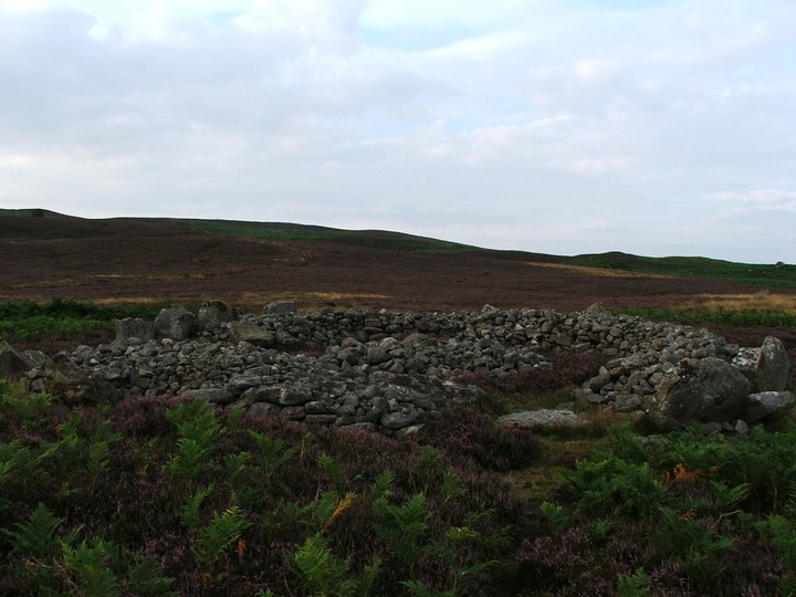
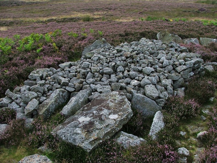
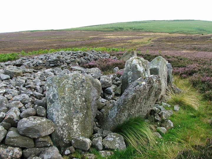
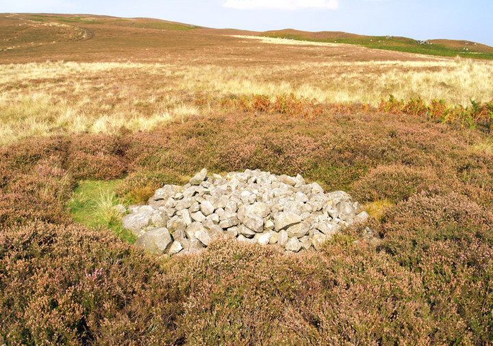
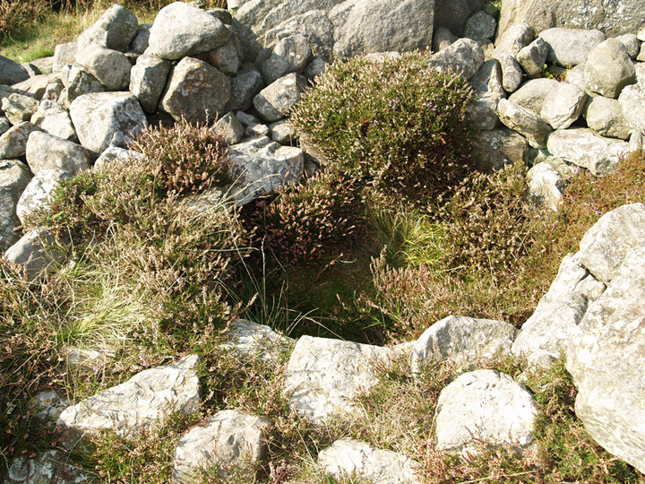
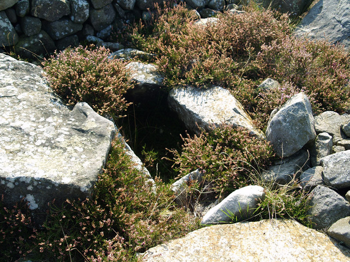
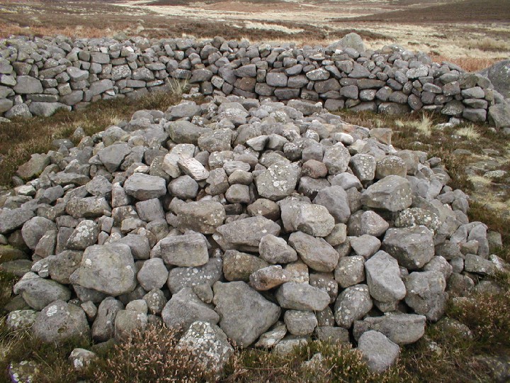
We parked by the farm to the southwest, asked for permission to leave the car there and started the long walk up hill. Phil elected to stay in the car again so Eric was my only company, which i'm always grateful for. It wasn't too steep or too far, so there wasnt any "are we nearly there yet" we both spotted the "cairn" at the same time, Bob was my uncle. This place is a bit of an enigma, ever since I saw it on here Ive wanted to come, tramping the Welsh wildernesses have given me an appreciation for the simple cairn, but this is by no means a simple cairn. Imagine.... a stone circle of contiguous stones, with a cairn immediately inside the stones, but not filling the interior, then put 4,5, or 6 cists in the cairn, then a small cairn inside it all and another one outside to the north. Plus in the near distance a fine hillfort, with lots of mind bending rock art, good weather with a setting sun that my crappy camera doesnt seem to acknowledge, plus all the hills and what have you got..... A happy Postman |
 Posted by postman
5th August 2011ce Edited 5th August 2011ce |
|
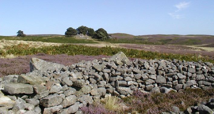
Very hard to describe this, it's a circular, curbed site with a wall within, containing cists, with mounds inside and surrounding. I think it has been restored, but only marked on the OS map as a cairn, it's much more. The hillfort and carved stones of Old Bewick are not too far away and the mother hill visible as always. The ruined farmstead nearby is also interesting (well it was for me), as are the rocky outcrops beside, which have been partly walled for shelters. You can see how people wanted to live up here. But you can also understand how it fell into ruin! Tried to work out when it was last lived in, perhaps early 20th century. Looks like it's used a lot by campers, and is on a mapped cycle route. A lovely day although very overcast. Definitely one to come back to when sunnier. .o0O0o. |
 Posted by pebblesfromheaven
8th February 2003ce |
Miscellaneous |
|
| Pebblethief mentions Blawearie House (the ruin). For a potted history of this place, check Stan Beckensall's lovely book "Northumberland, The Power of Place" published in 2001 by Tempus. |
 Posted by fitzcoraldo
29th March 2003ce |
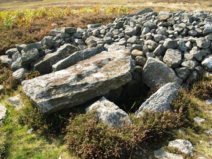
| The Cairn was excavated by the legendary Canon Greenwell in the 1860's where he reported a central cist from which a pot had been taken. It was also excavated by the mighty Stan Beckensall 1984 - 1986 where he found further cists, amber beads, a jet bead, flint flakes, a melon bead, a number of cremations and a copper ring. |
Posted by fitzcoraldo 22nd March 2003ce |
Links |
|
Bournemouth University Research Online'The Excavation of the cairns at Blawearie, Old Bewick, Northumberland' - article from the Proceedings of the Prehistoric Society for 1996, by Ian Hewitt and Stan Beckensall. |
 Posted by Rhiannon
27th October 2010ce |