From a letter to The Times, Wednesday August 13, 1930:
I feel that topographical sighting or alignment is certain in the near future to become an important agent - preceding the spade - in antiquarian research[..]
Five years ago I saw on the 6in. Ordnance Maps near Stonehenge the almost straight 1 3/4 mile northern bank of the Circus aligned through a stone - the Cuckoo Stone - quite near. I marked this line on the map, but, not visiting the spot, did nothing further.
Then last year I found by the maps in Mrs. Cunnington's brilliant book on Woodhenge that my line not only went through the centre of [that] monument, but was marked by Mrs. Cunnington on her map, for she had found proof in certain "extra post holes" of an alignment (possibly seasonable) which went to the Cuckoo Stone. [..]
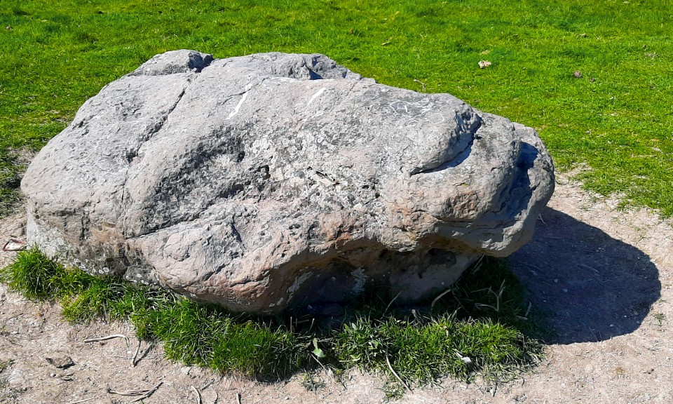
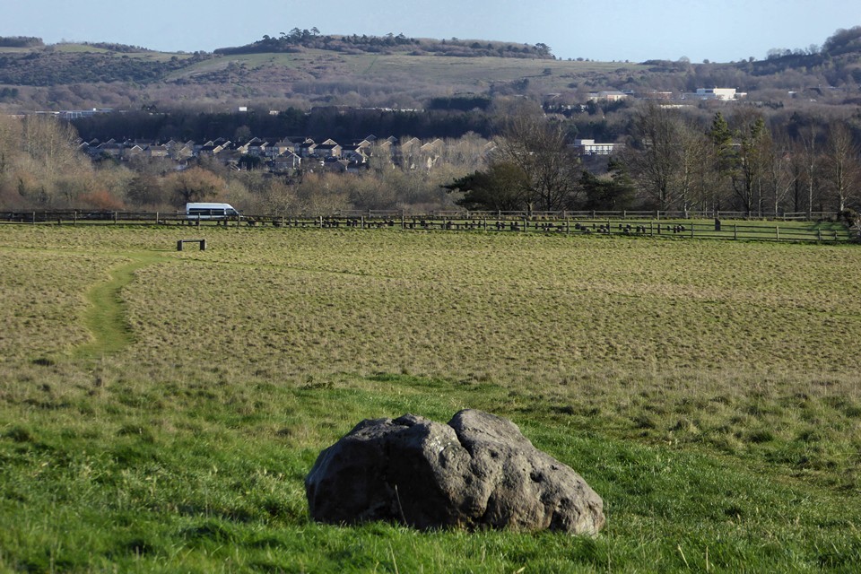
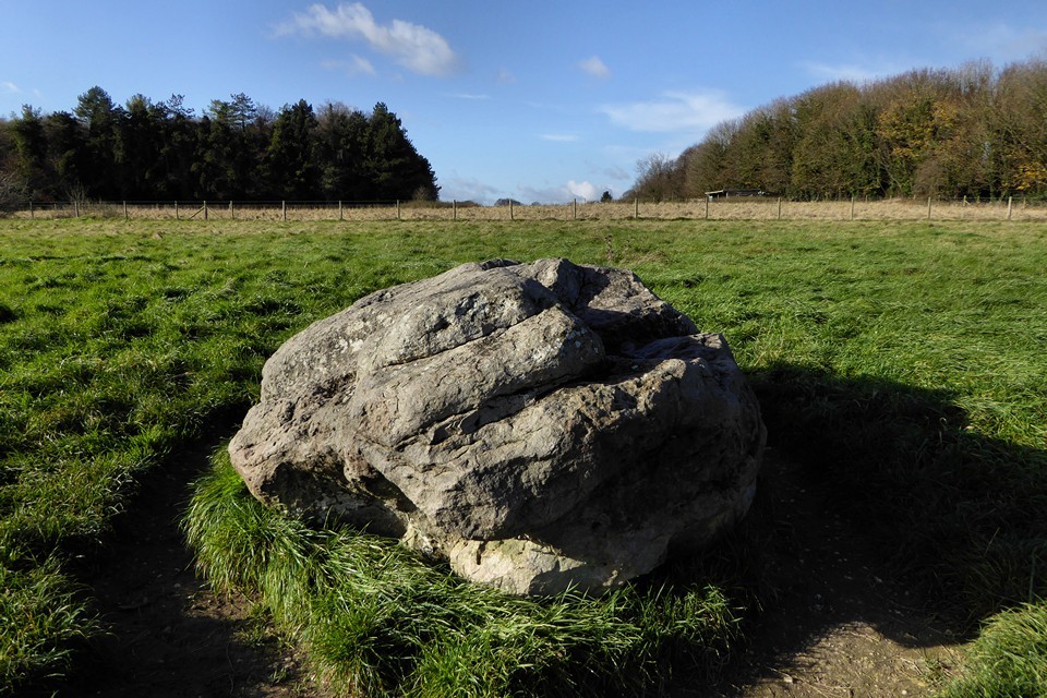
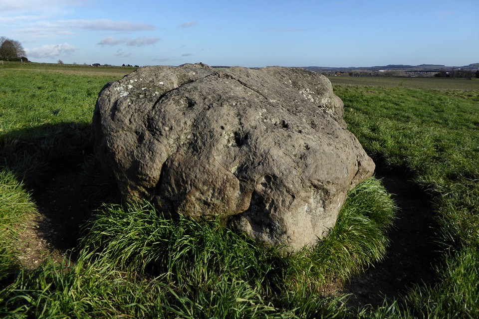
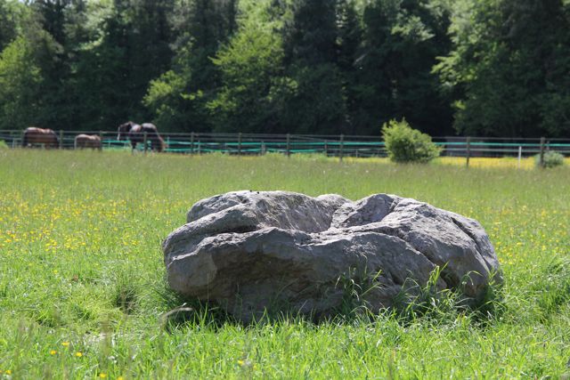
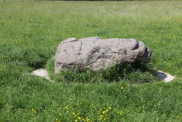
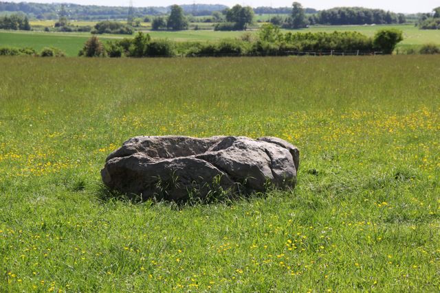
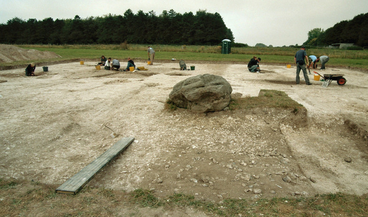
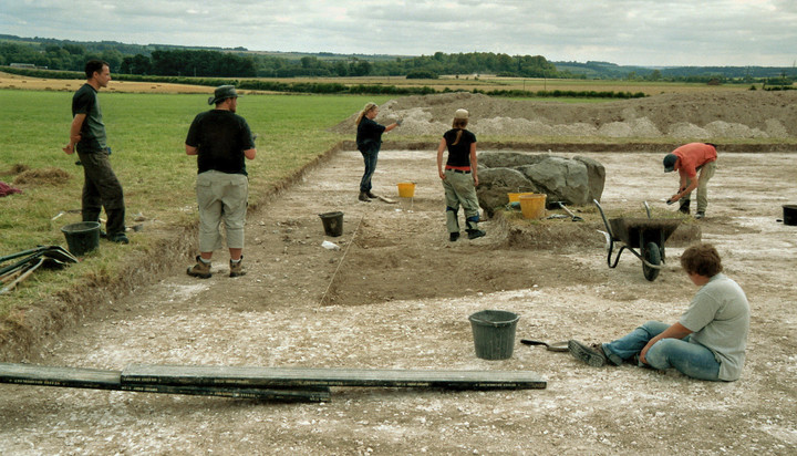
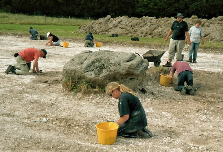
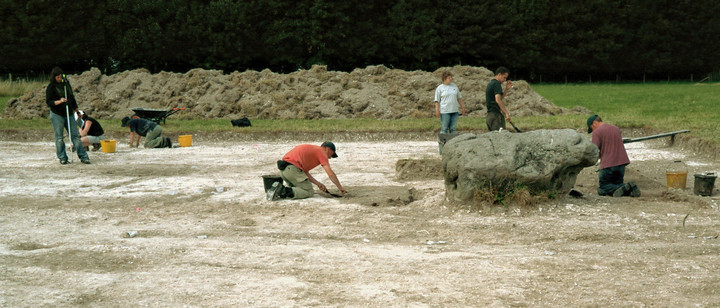
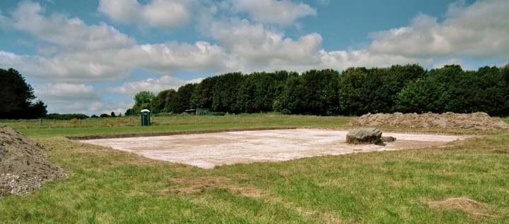
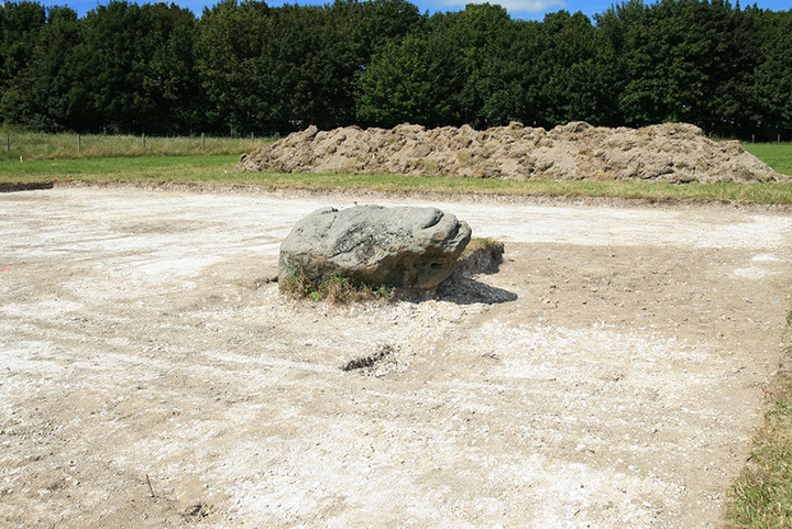
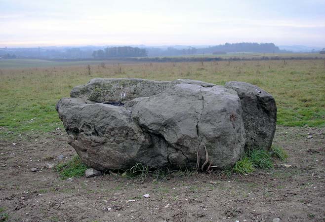
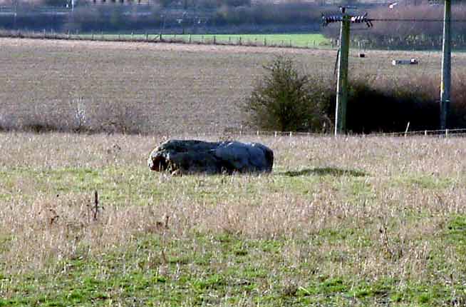
Colt Hoare recorded this sarsen near Woodhenge. He didn't know it was near Woodhenge at the time of course, because Woodhenge hadn't been discovered :) It's 2 metres long (though it was standing when Hoare saw it) and it seems to be in line with the Cursus. As a single standing stone it would be very unusual in this part of the country. Maybe it's called the cuckoo stone because it's out of place here?
Its position has been used as the extent of the parish boundary.
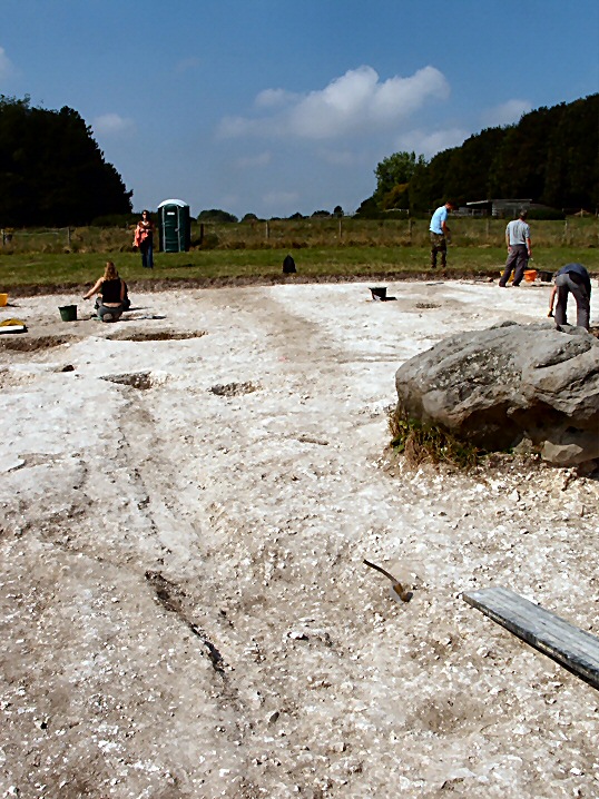
Apparently the National Trust are in the process of turning the field where it lies from intensive arable farming into a wildflower meadow.


 Posted by Rhiannon