What a site to end the day with.... following on from Chesters and Traprain Law, this compact, yet powerful little hillfort is perhaps my favourite of the trio.
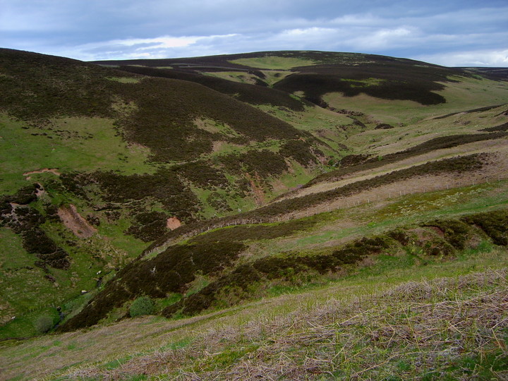
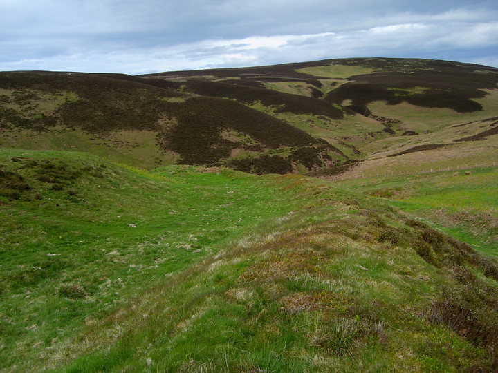
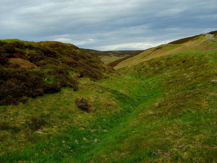
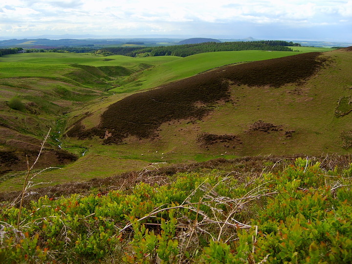
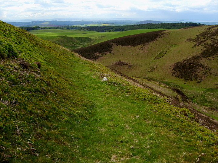
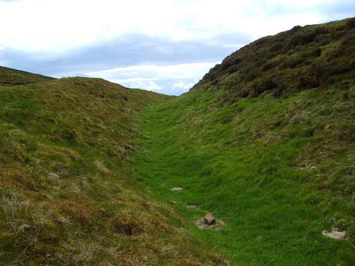
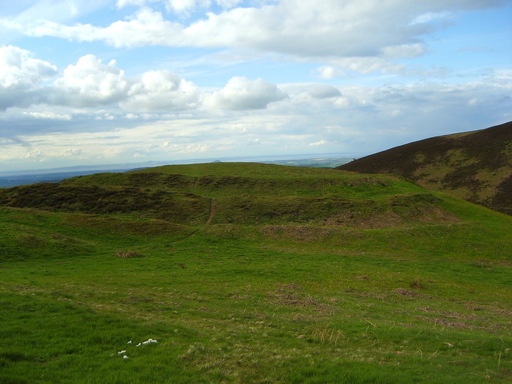
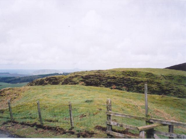
The setting is classic, the 'fort strategically positioned to command what surely must have been an ancient track above Thorter Burn, this leading down to the coast from the uplands to the south, hills now utilised by human-kind to fill the Whiteadder Reservoir. Full use is also made of the defensive potential of the landscape, three (count 'em) substantial ramparts protecting the relatively easy approach to the approx circular enclosure from the south and east, a more or less sheer drop to the burn all that was really necessary at north and west.
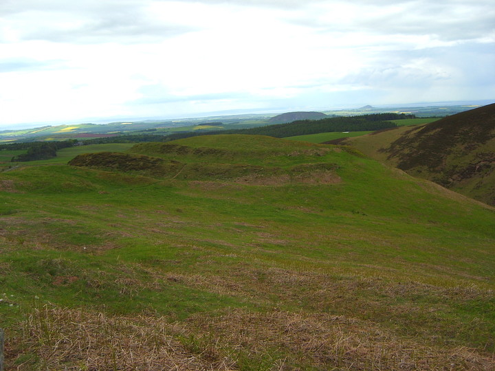
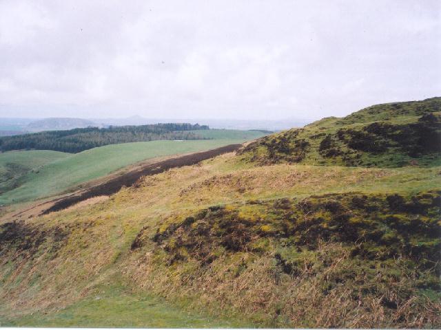
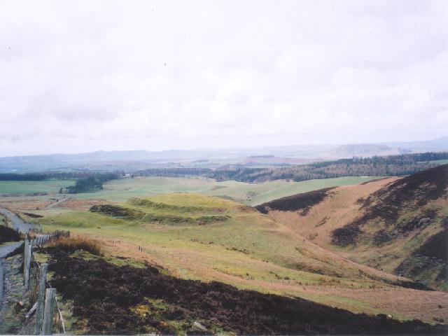
The view northwards from the ramparts is exquisite, the conical Iron Age hillfort of Berwick Law visible beyong the aforementioned volcanic, whaleback ridge of Traprain Law itself. Bass Rock glimmers in the evening sunshine, Edinburgh - as its name suggests, another one time Iron Age hillfort - visible far left. An extensive former Iron Age community, no less, although whether the inhabitants of White Castle were on friendly terms with all is, I guess, open to debate. Suffice to say they certainly appear to have known what they were doing when it came to personal defence, unlike the occupiers of the not too distant Chesters.
Access to this wonderful site is about as easy as you could wish for, a minor road leaving the B6355 a little to the west of Whiteadder Reservoir and closely bypassing the monument, en-route to Garvald.
White Castle Hill Fort
Monday 15/4/02
At the lay-by here is an old triangular pillar with the vertical words' East Lothian District Archaeological Trail'. On the top is a very old map and this site was apparently Number 1. We've traveled here along the most fantastic road from Whiteadder- I use the word 'road' in the widest possible sense- single track, fords all the way along it and massive potholes and frost damage. You have to stay away from the edges of the road for fear of driving into the great ditches where the road has just collapsed! The precarious driving is certainly rewarded though- rounding one of the steep hills the county of East Lothian just opens up in front of you stretching all the way in the distance to the Firth of Forth and taking in Traprain Law, Berwick Law and the Bass Rock. Then, in the foreground, is this fantastic hill fort. There's a lay-by right next to it and the remains of an old notice board. Three defensive ditches on this southern side, whilst the north and east sides fall away sharply to the Thorter Burn. A most fantastic setting.

 Posted by GLADMAN