The Modern Antiquarian. Stone Circles, Ancient Sites, Neolithic Monuments, Ancient Monuments, Prehistoric Sites, Megalithic MysteriesThe Modern Antiquarian


Crackaig

Stone Fort / Dun

<b>Crackaig</b>Posted by drewbhoyImage © drew/AMJ
Nearest Town:Lochgilphead (39km NE)
OS Ref (GB):   NR52366597 / Sheet: 61
Latitude:55° 49' 23.79" N
Longitude:   5° 57' 14.99" W

Added by drewbhoy


Discussion Topics0 discussions
Start a topic


Show map   (inline Google Map)

Images (click to view fullsize)

Add an image Add an image
<b>Crackaig</b>Posted by drewbhoy <b>Crackaig</b>Posted by drewbhoy <b>Crackaig</b>Posted by drewbhoy <b>Crackaig</b>Posted by drewbhoy <b>Crackaig</b>Posted by drewbhoy <b>Crackaig</b>Posted by drewbhoy <b>Crackaig</b>Posted by drewbhoy <b>Crackaig</b>Posted by drewbhoy <b>Crackaig</b>Posted by drewbhoy <b>Crackaig</b>Posted by drewbhoy <b>Crackaig</b>Posted by drewbhoy <b>Crackaig</b>Posted by drewbhoy <b>Crackaig</b>Posted by drewbhoy <b>Crackaig</b>Posted by drewbhoy <b>Crackaig</b>Posted by drewbhoy

Fieldnotes

Add fieldnotes Add fieldnotes
Parking is available to the south of Craighouse at the crossroads with the main road and two tracks. To the west leads the stone row at Carragh A' Ghlinne, to the east is Crackaig Farm.

Head east along this track, for about 200 metres, then look for a gap in the dry stane dyke to head south west. The dun is on the north side of the hill so head for low point between the two high points of the hill, then head north. Dry conditions made the climb fairly easy.

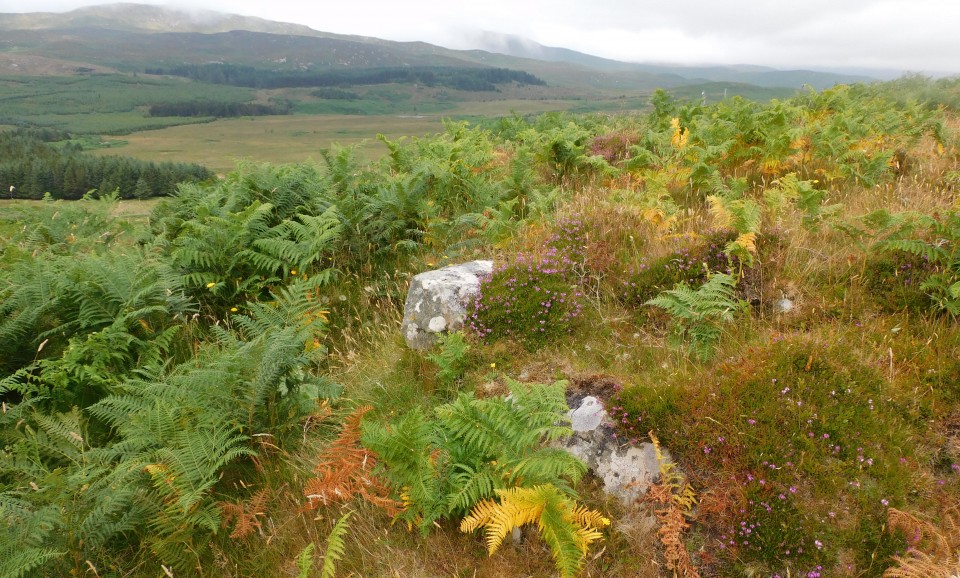
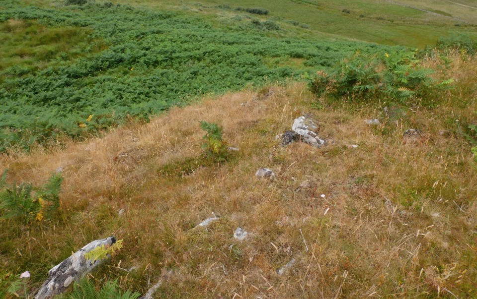
Remnants of defences can be seen on the south and north west as large well placed stones, some of these stones being 3m in length. The stone on its edge marks the forts front door to the south. A much reduced rampart surrounds the interior which is approximately 15m by 10m. Steep slopes on three sides complete the defences.

Superb all round views, north to the Bay Of Small Islands and on a good day Ireland to the south.

Visited 26/07/2021.
drewbhoy Posted by drewbhoy
16th August 2021ce