|
|

|
|
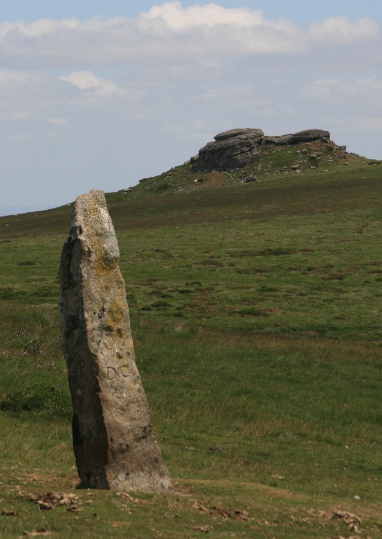
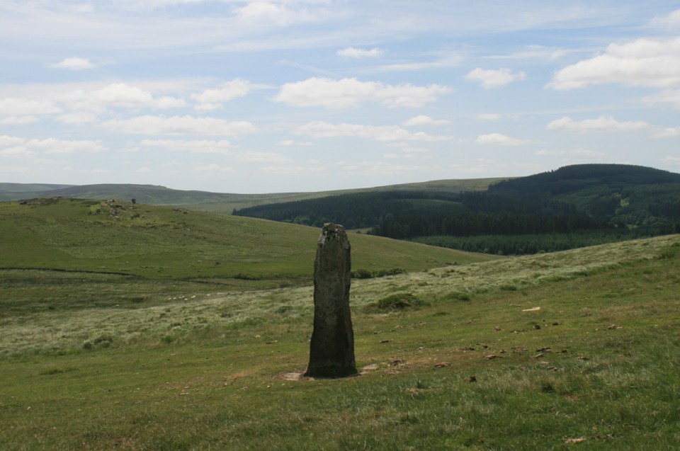
Shovel Down & The Long StoneMultiple Stone Rows / Avenue
|
|
|
|
Images (click to view fullsize) |
|

|
Fieldnotes |
|
|
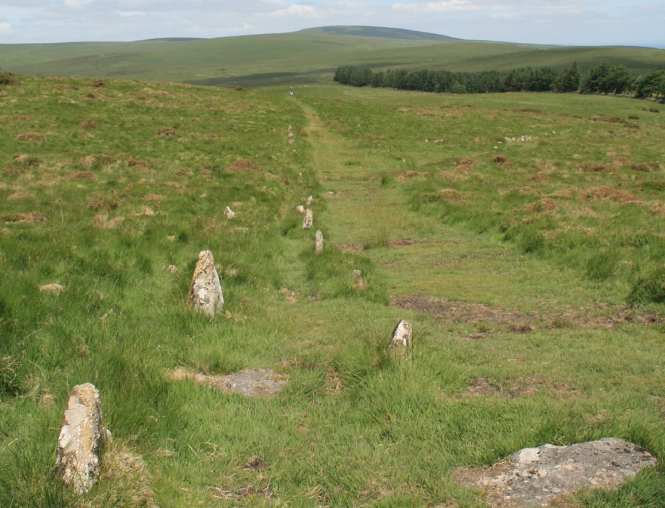
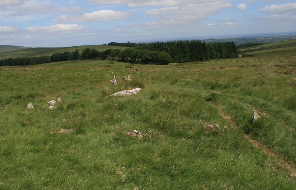
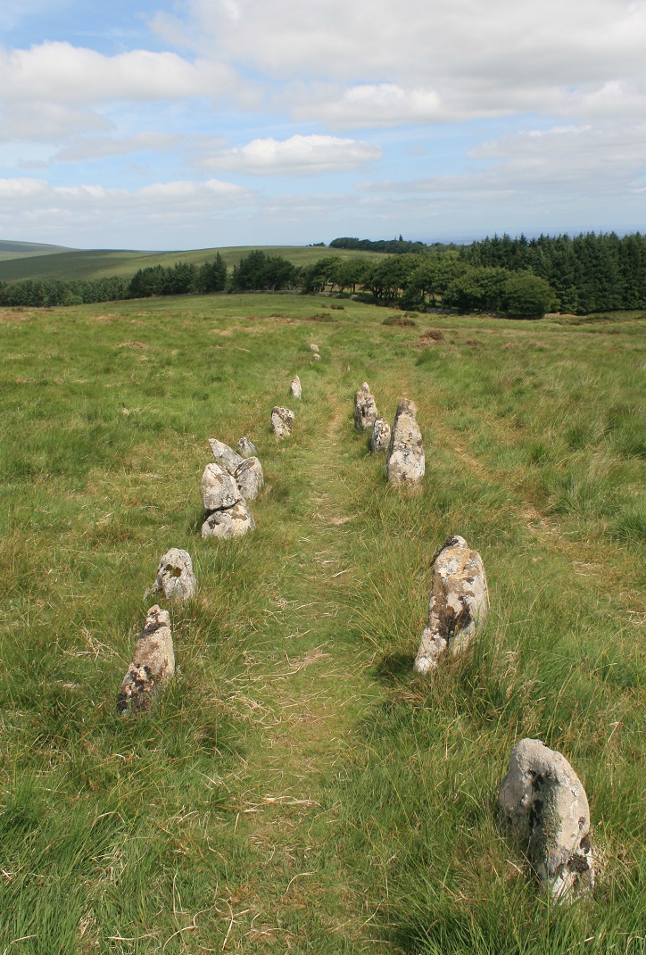
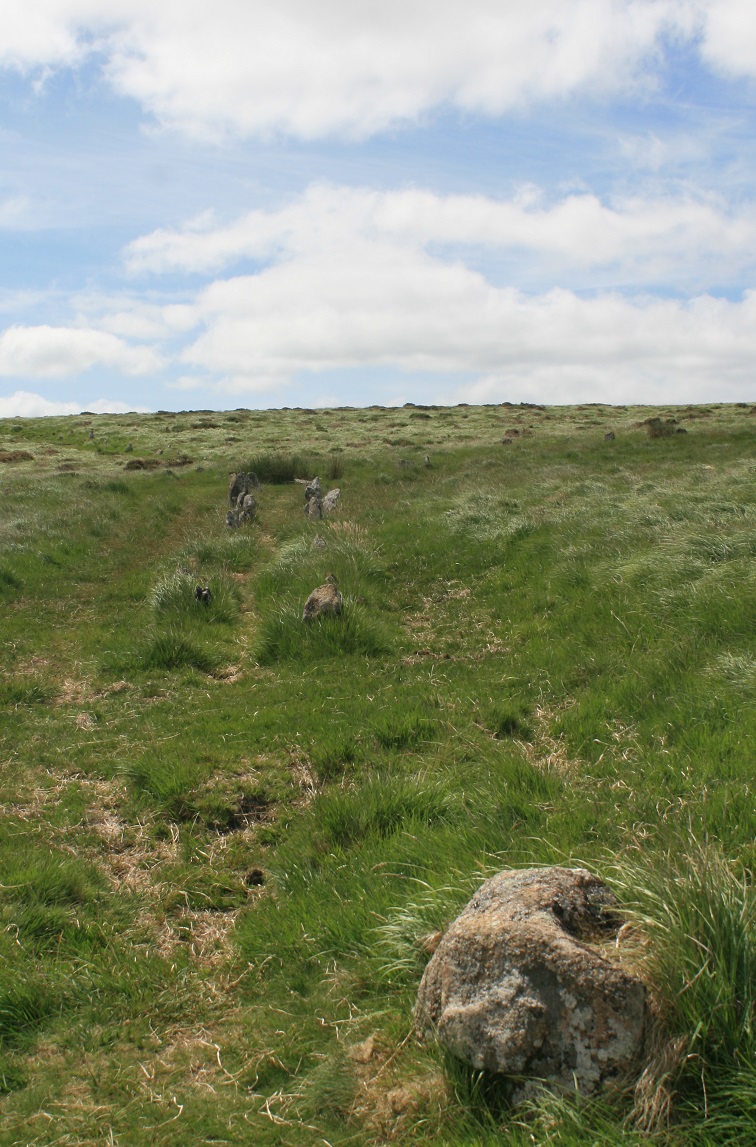
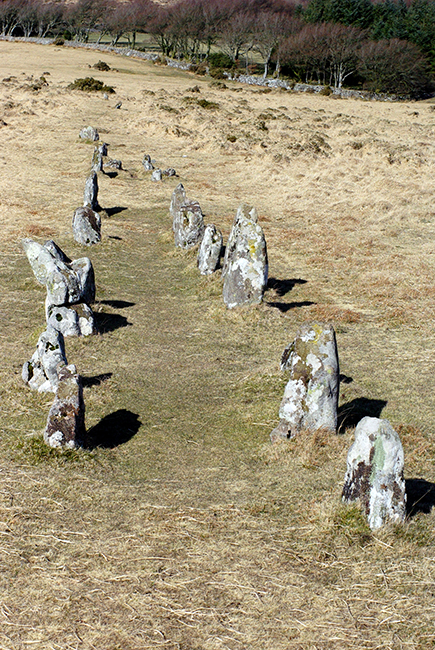
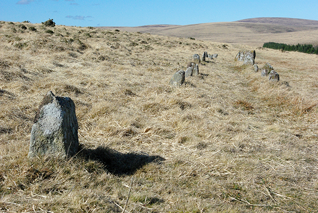
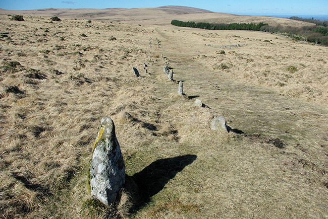
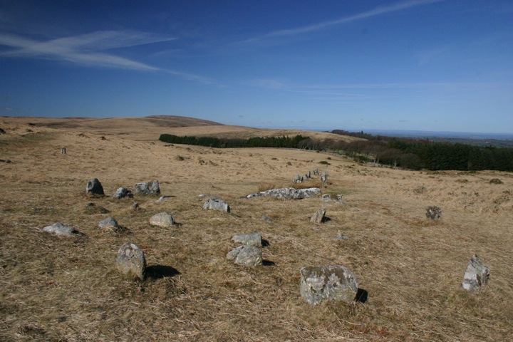
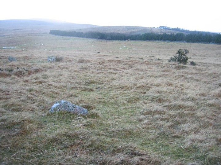
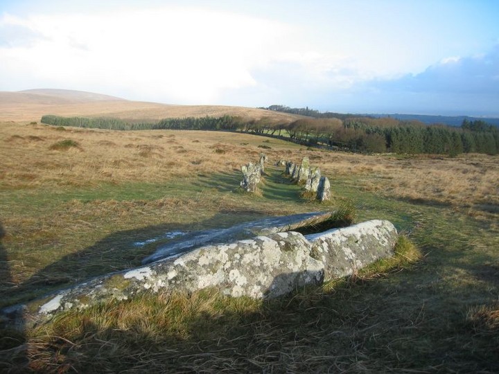
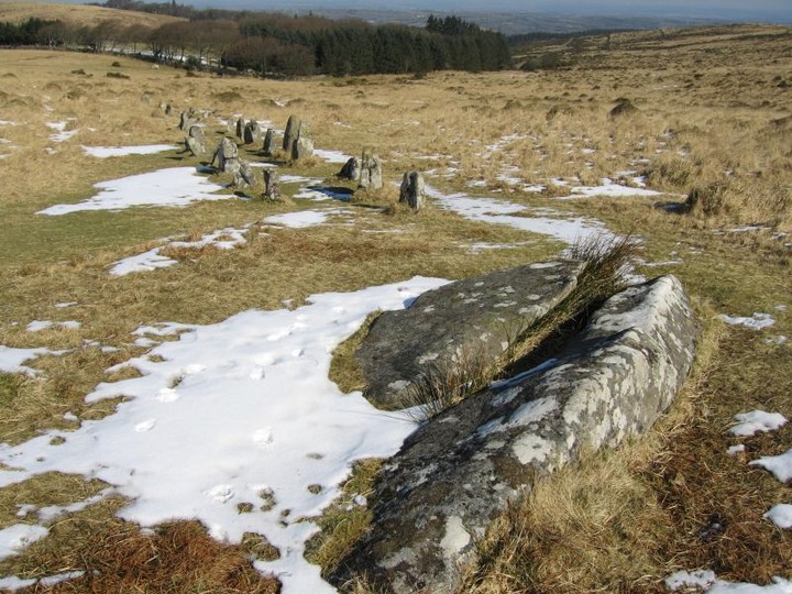
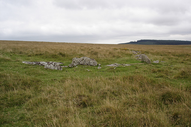
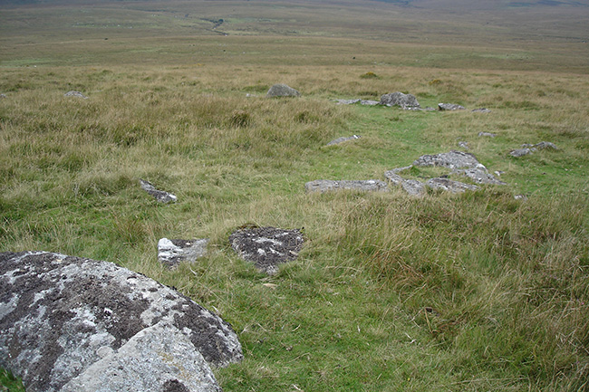
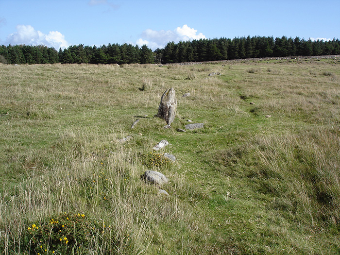
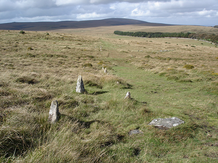
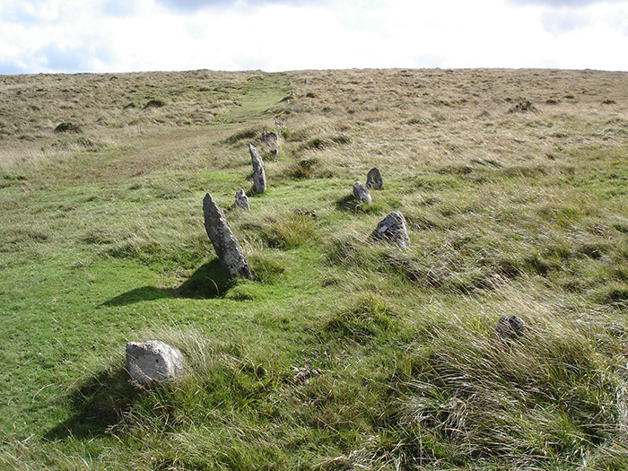
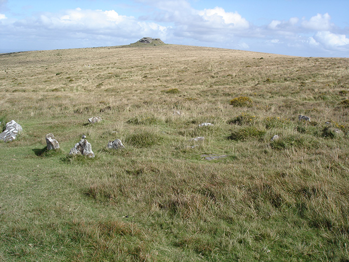
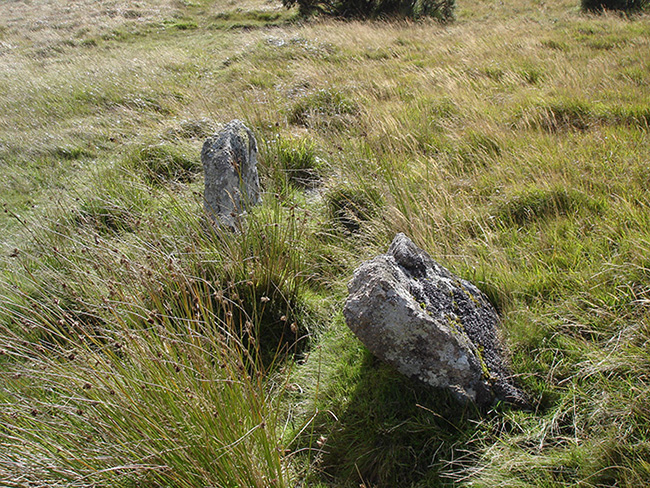
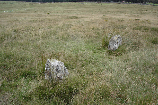
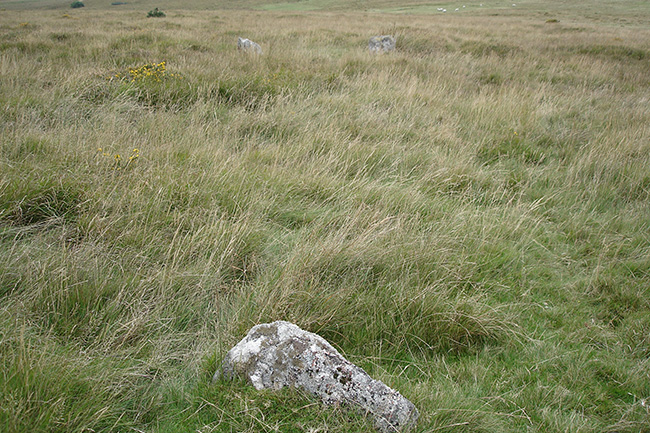
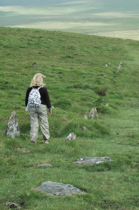
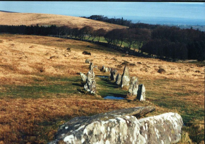
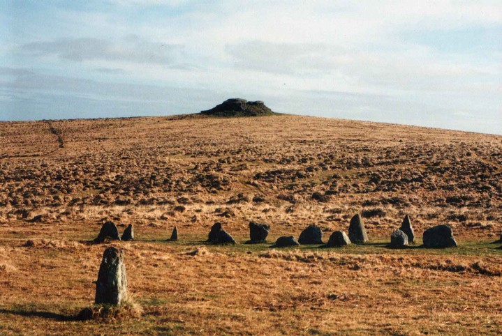
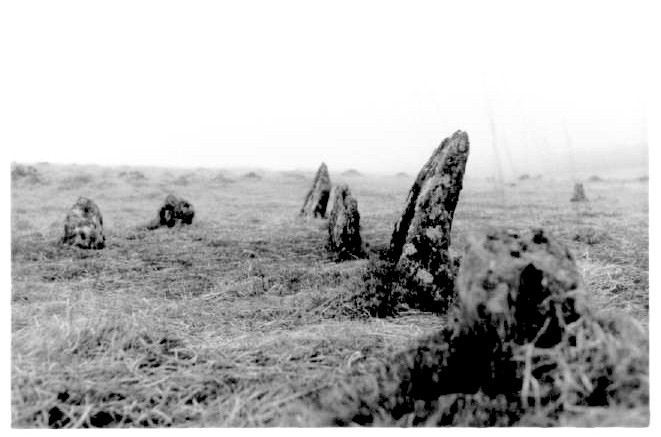
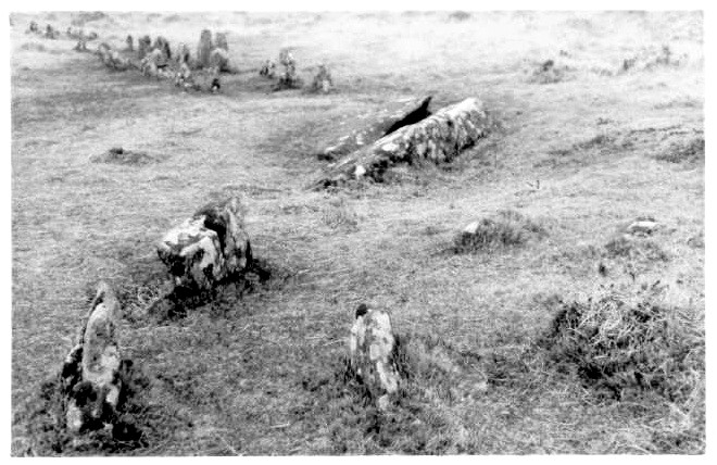
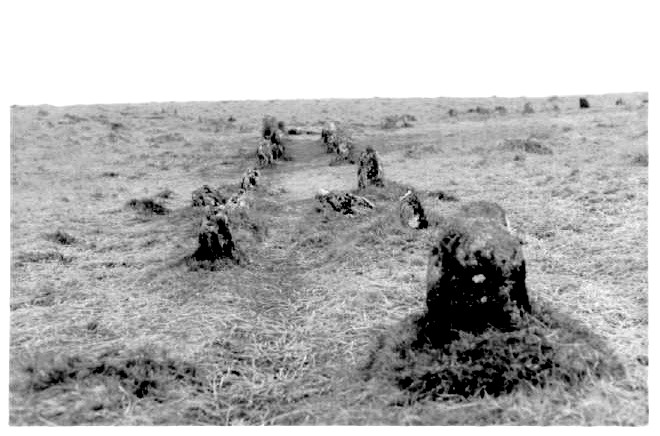
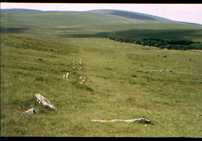
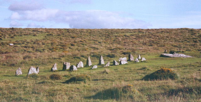
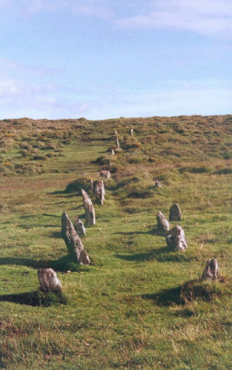
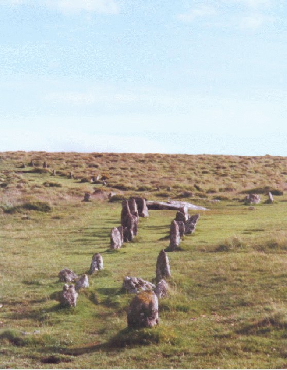
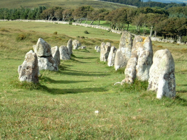
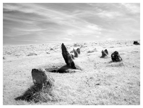
The rows here seem to meander forever taking the traveller past the almighty great nearby tor and point you towards the stone circle 1km at Scorhill. The longest stone row idles its way across the moor with two lines of small stones, some hidden under grassy hummocks. Walking the length is not an option. You have no choice but to do it. The most complete section is actually not part of the main row, but deviates off pointing back down to Batworthy. This post appears as part of the weblog entry The 'Must-Sees' we saw on Dartmoor
|
 Posted by Jane
10th July 2005ce Edited 10th July 2005ce |
|
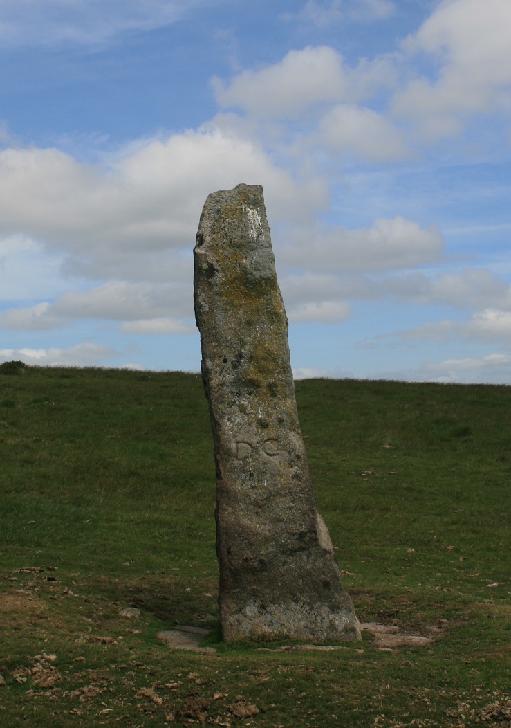
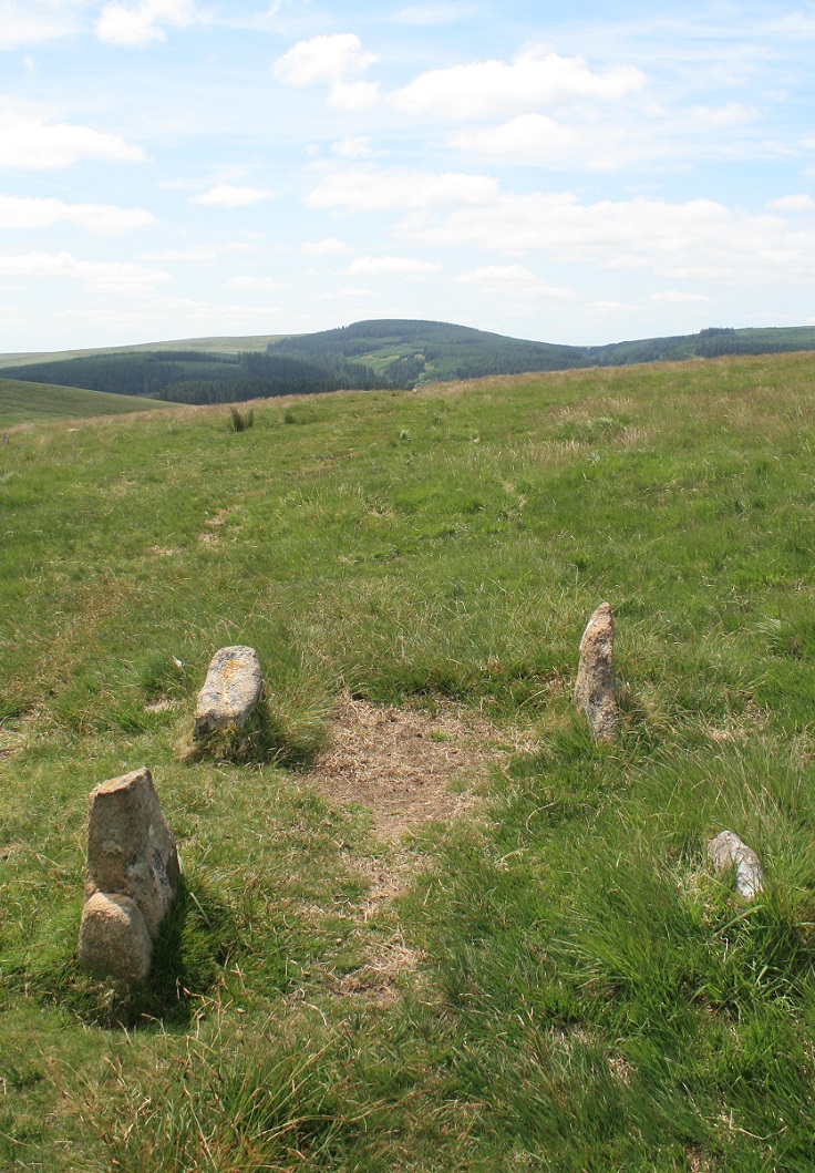
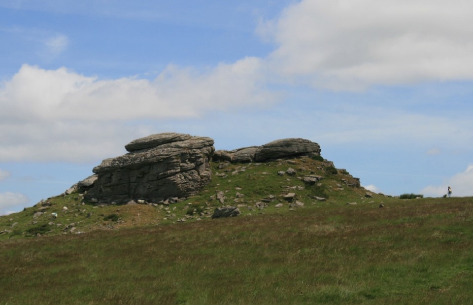
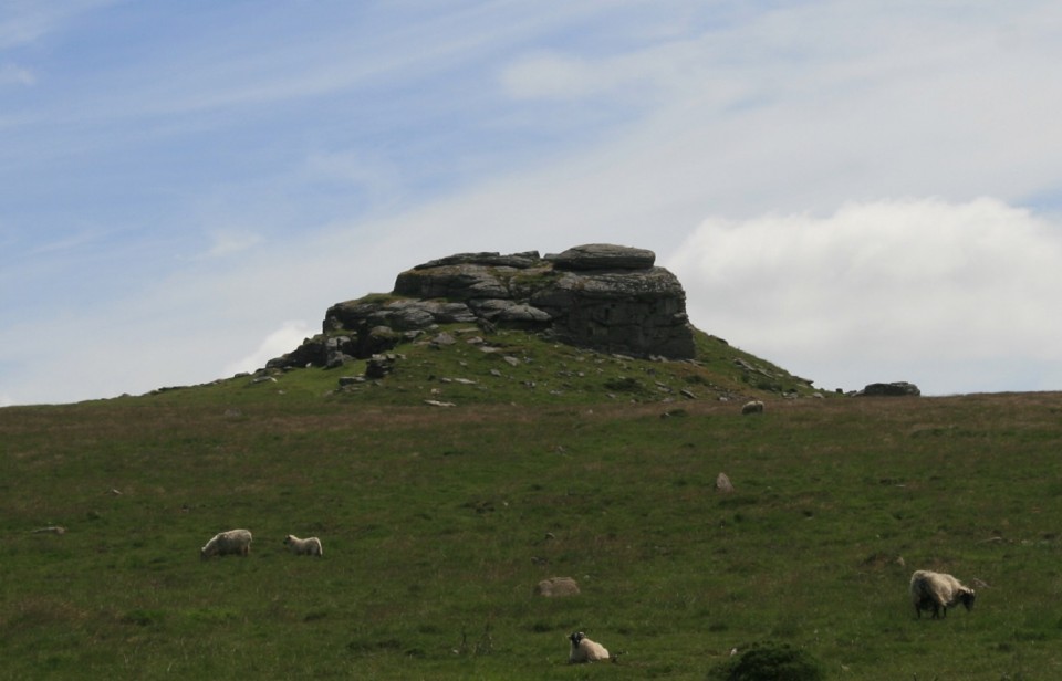
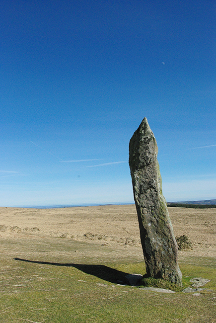
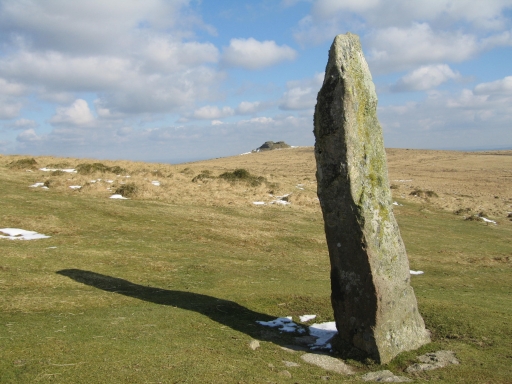
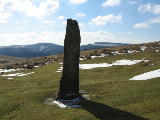
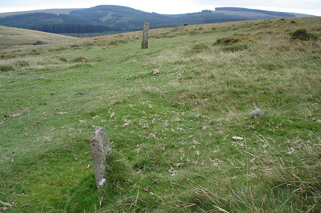
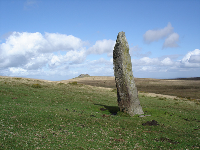
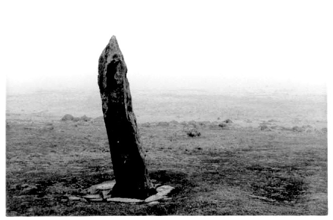
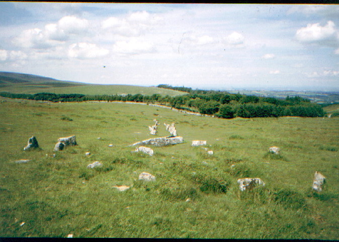
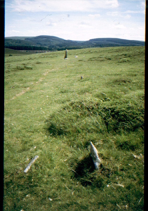
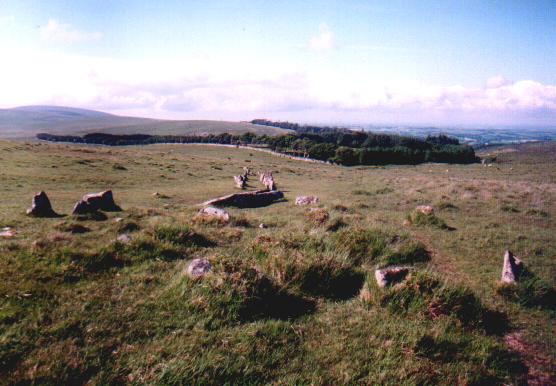
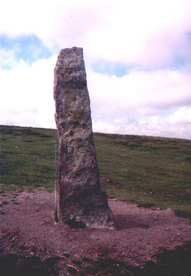
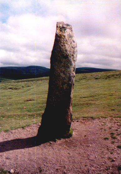
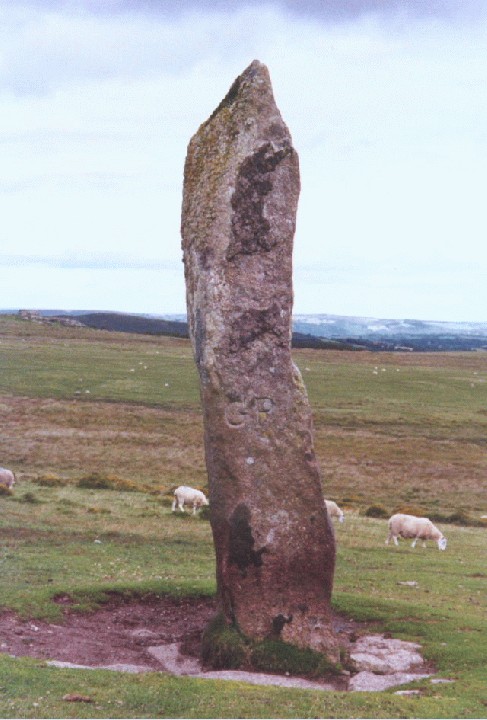
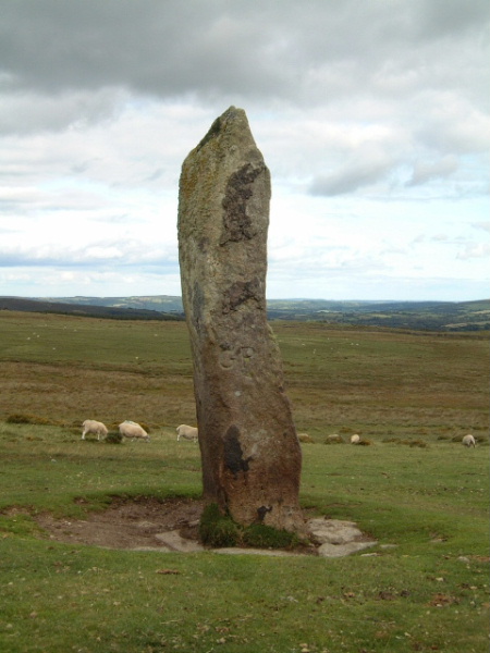
Shovel Down Complex - 1.4.2004 The instructions on the megalithic walks website (see link below) are excellent. Just a couple of additions though. First, to be clear that the bridge mentioned (i.e. where to park) is just outside Batworthy Farm, at SX662866. The space near the bridge should take 4 to 5 cars. I also saw cars parked at various small places off the road over the common, but the bridge area is better and more sensible. Secondly, the journey through the lanes is pretty tortuous, but at least you shouldn't get lost if you have an OS map. Once successfully on the right road (after the crucial junction at SX690870), it is pretty much follow the road and don't take any of the turnings off the lane. To avoid some of the earlier lanes try the B3206 to Chagford from the A382. Be careful to avoid the Range Rovers though! Judging from the cars and the shops this ancient Stannary town looks like a squeaky clean Devon version of Hampstead! As you walk up towards Batworthy Corner, the north east most row comes clearly into view. A few hundred metres on and you've experienced your first bit of Shovel Down! This first row leads to an intriguing circle of three concentric stone circles. Up and over the hill and the enormous long stone suddenly comes into view. This massive, enigmatic stone has lots of stones around its base. Are they modern? They somehow don't look quite right. The southern stone row (as shown on the OS map) basically doesn't exist; there is nothing there. I believe I found the remaining one of the 'Three Boys', but it is 70% fallen. From here, if you know where you are looking you can just see the top of the Long Stone. It would be interesting to know if it could be seen from the top of the three boys when it was / they were erect. There must be 3 rows to the north, not just two as the OS map shows. The middle row starts and continues further away from the others, and is a good way to walk onwards to Scorhill. When I later returned to the bridge I was led down the rocky path by a dog from Batworthy Farm, like Lassie leading an injured child! |
 Posted by pure joy
7th April 2004ce |
Folklore |
|
|
The beeting of the bounds around the parishes where this stone is the meeting point of used to be an occasion for fighting, and of moving the boundry stones (presumably not this one as it is huge!) Mildren, James 1984 Dartmoor in the Old Days Cornwall, UK : Bossing Books |
Posted by Floksnog 12th October 2008ce |
|
Grinsell records that during the annual beating of the bounds of Gidleigh common, the first man to reach the long stone was given money as a prize. ('folklore of prehistoric sites in Britain') |
 Posted by Rhiannon
8th June 2004ce |
| The longstone is said to move round slowly at sunrise so that each face is warmed by the sun in turn. A similar story exists for the stones of the GreyWethers stone circle. |
Posted by pure joy 19th March 2003ce Edited 19th March 2003ce |
Miscellaneous |
|
|
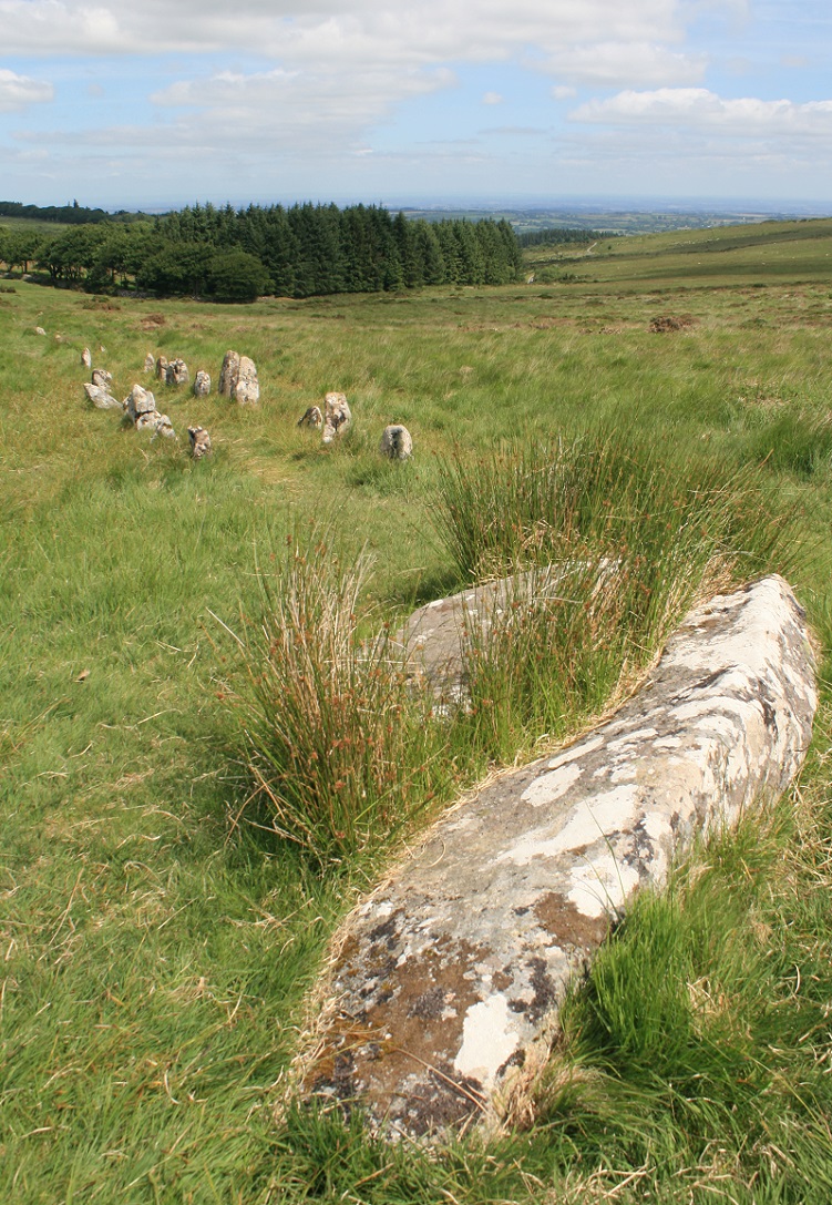
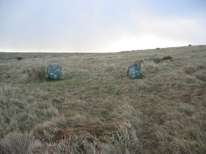
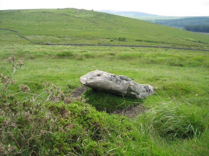
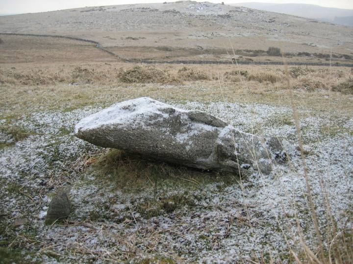
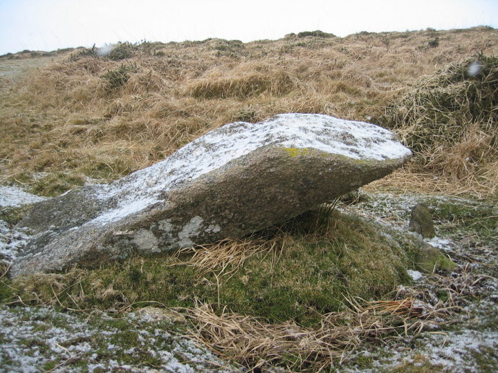
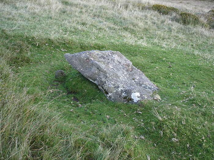
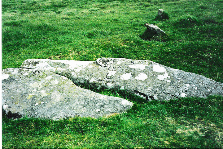
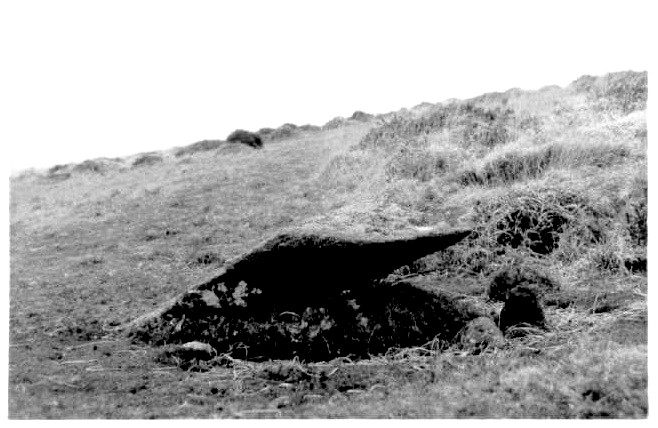
Details of the remaining Three Boys stone on Pastscape (SX 66038549) Three Boys (Cromlech) (NR) (Remains of). (1) The stone marking the southern end of a stone row ('F' SX 68 NE 16) is the only survivor of three such stones known as the Three Boys. It stands 4 1/2 feet high and leans over. The other two have been removed to form gateposts for a neighbouring enclosure. The suggestion that they formed the supporters of a dolmen is unlikely as the remaining stone would be quite unsuitable for this purpose. They were probably three unusually large stones used to mark the end of the stone row. (2) (SX 66038549) Three Boys (NAT) Standing Stone (NR). (3) The remaining stone of Three Boys leans at 45o to the NNE; it is 1.7m long, 0.8m wide and 0.3m thick. Packing stones are visible at its base. A surrounding wet-hollow, diameter 3.7m, depth 0.4m,has been created by sheep. There is no trace of a mound. The situation, shape and size of the stone strongly suggests that it formed a terminal/blocking-stone to the double stone row (SX 68 NE/16 'F') which originally extended from the Three Boys to Long Stone. Published 1:2500 survey revised. (4) As described by authority 4. Se Sx 68 NE 16 E-F. (see also RCHME survey `The Shovel Down Stone Rows'(part 1) at 1:200 scale). (5) |
 Posted by Chance
12th April 2016ce Edited 19th January 2017ce |
| Burl (in his book on stone rows) describes a stone further south than the Longstone, at SX660855 - the surviving stone of the 'Three Boys' , the other two apparently taken away for gateposts. The remaining boy is about 4 1/2 ft high. |
Posted by Rhiannon 8th January 2003ce Edited 8th June 2004ce |
Links |
|
Megalithic Walks siteWhere else can you find a Stone circle a stone row and a standing stone in the same location? |
Posted by phil 13th January 2002ce |