The Modern Antiquarian
Log in
|
Register
Home
Latest Posts
Forums
Maps
Help
Browse Sites
News
Blog
Contributors
The Books
Select
-
Belgium
Denmark
Eire
France
Germany
Greece
Italy
The Netherlands
Norway
Portugal
Republic of Malta
Spain
Sweden
Switzerland
United Kingdom
Scotland
Argyll and Bute (Islands)
Bute
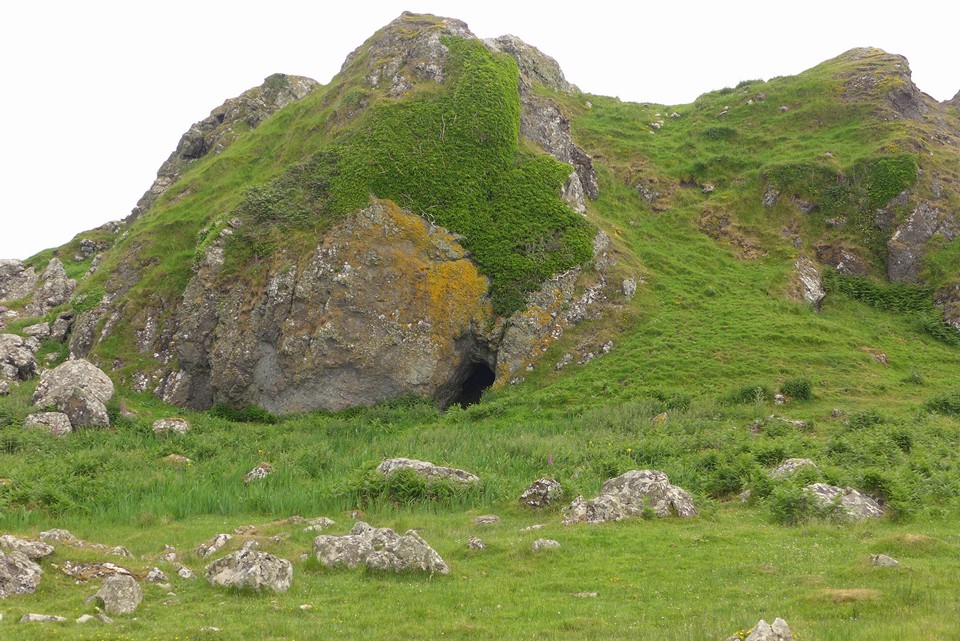
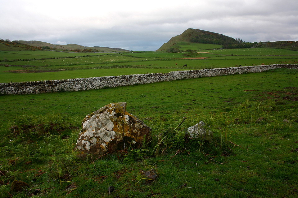
Dunagoil
Little Dunagoil
Cliff Fort
Little Dunagoil (Cliff Fort) on The Modern Antiquarian, the UK & Ireland's most popular megalithic community website. 11 images, plus information on many more ancient sites nearby and across the UK & Ireland.
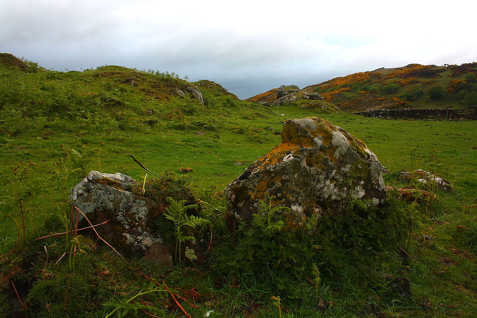
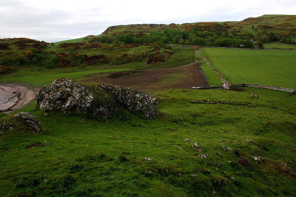
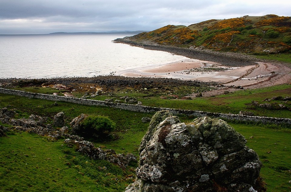
Image © Robert Gladstone
Nearest Town:
Rothesay (11km NNW)
OS Ref (GB):
NS0864853324 /
Sheet: 63
Latitude:
55° 44' 7.16" N
Longitude:
5° 2' 53.34" W
Added by
GLADMAN
Images (11)
0 discussions
Start a topic
Show |
Hide
Web searches for Little Dunagoil
Flickr
Google
Google Images
MAGIC
The Megalithic Portal
Bing
Stone Pages
Streetmap.co.uk
Wikipedia
Show map
(inline Google Map)
- Sites within 20 km -
-
Little Dunagoil Burial Chamber (0.11km SSW) (9 posts)
Dunagoil (0.26km SW) (13 posts)
Dunstrone (1.6km NW) (9 posts)
Largizean (2.08km NNW) (13 posts)
Blackpark Plantation (2.32km N) (27 posts)
Glencallum Bay (2.45km E) (4 posts)
Scalpsie Barrow (6.03km NW) (4 posts)
Scalpsie Cairn (6.07km WNW) (7 posts)
Dun Scalpsie (6.21km WNW) (8 posts)
Loch Quien (6.45km NW) (2 posts)
Bicker's Houses (7.5km NW) (16 posts)
Glaid Stone (8.88km ENE) (4 posts)
The Gouklan Stone (9.45km ENE) (5 posts)
St Ninian's Bay (9.79km WNW) (8 posts)
North Sannox (9.85km SW) (5 posts)
Barone Hill (9.88km NNW) (10 posts)
North Sannox 2 (9.93km SW) (3 posts)
Mid Sannox (10.42km SW) (7 posts)
Sannox (10.43km SW) (11 posts)
Allt Carn Bhain (10.68km SW) (5 posts)
Sannox (10.97km SW) (5 posts)
Diamond Hill (12.7km ENE) (4 posts)
Haylie (13.29km ENE) (13 posts)
Acholter (13.91km NW) (2 posts)
Castle Hill (13.98km ENE) (5 posts)
Ettrick Bay (14.1km NW) (36 posts)
East Colmac (14.34km NW) (6 posts)
Ardlamont Point (14.52km WNW) (5 posts)
Creag Ghlas (14.64km WSW) (6 posts)
Fforde's Buttress (14.77km SW) (1 post)
Blackshaw (15.24km E) (6 posts)
Hilton (15.38km NNW) (6 posts)
Merkland (15.52km SSW) (11 posts)
Glecknabae (16.82km WNW) (18 posts)
Deer Park (17.71km SSW) (21 posts)
Carnbaan (17.84km NW) (22 posts)
Dun Hill Of Glenmore (18.29km NW) (4 posts)
Stronach (18.35km SSW) (16 posts)
Stronach Wood (18.82km SSW) (66 posts)
Moyish (19.04km SSW) (7 posts)
St. Michael's (19.28km WNW) (13 posts)
Glenvoidean (19.32km WNW) (14 posts)
Allt Mor (19.79km SSW) (3 posts)
Clauchlands (19.85km S) (1 post)
- Add -
-
Add news
Add an image
Add fieldnotes
Add folklore
Add miscellaneous
Add a link
-
Add a site
Add a nearby facility
Add an alternative name/spelling
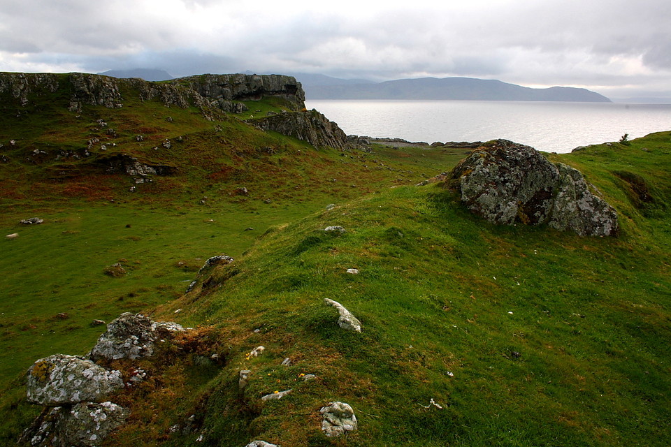
Images
(click to view fullsize)
Add an image
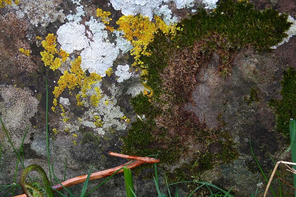
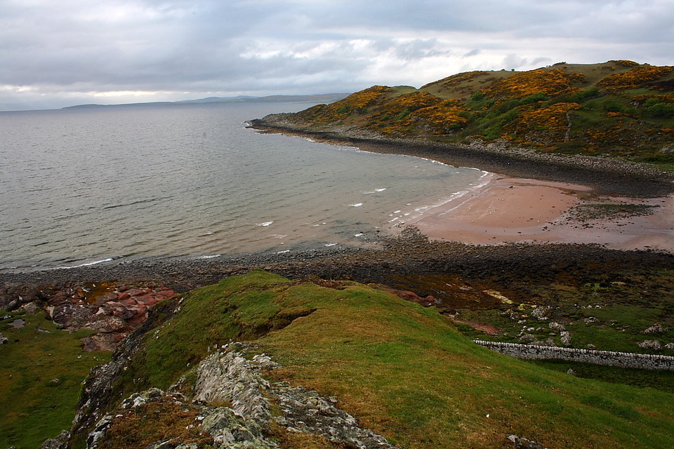
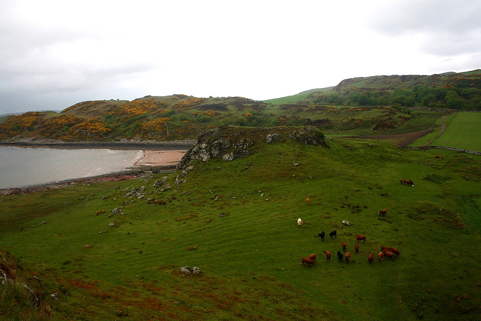
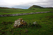 Image © Robert Gladstone
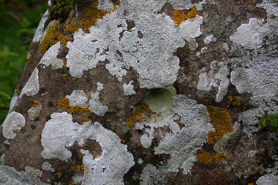
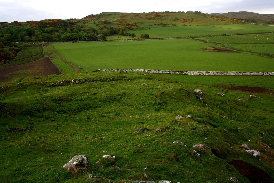