|
|

|
|
Upper BalfourCairn(s)
|
||||||||||||||||||||||||
|
|
|
Sites in this group:
|
4 posts
Upper Balfour 2 Cairn(s) |
6 posts
Upper Balfour 3 Cairn(s) |
6 posts
Upper Balfour 4 Cairn(s) |
Images (click to view fullsize) |
|
|
Fieldnotes |
|
|
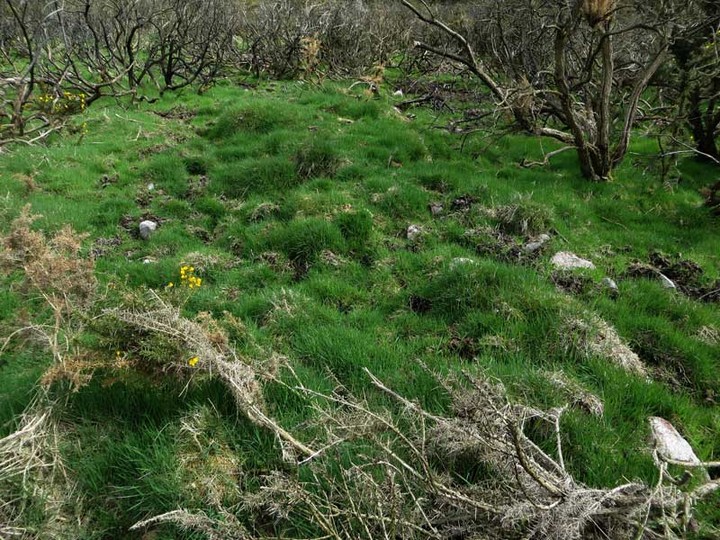
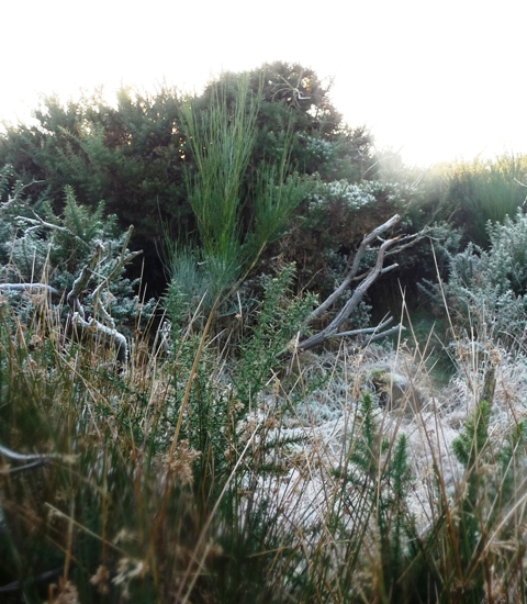
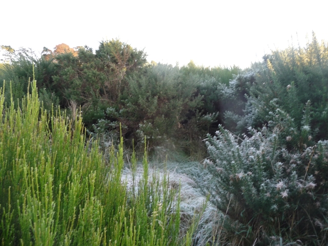
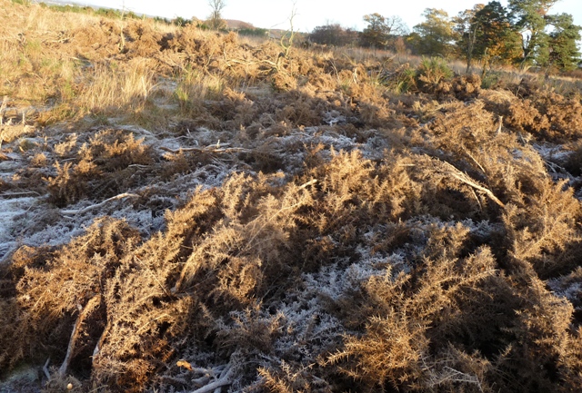
Visited May 11, 2013 An area of rough gorse, almost due east of Kirkton of Durris, conceals the remains of a severely robbed ring-cairn lying 590 metres southwest of Upper Balfour farmhouse, within a field-system and cairnfield. To access the Upper Balfour Ring Cairn, start from the village hall at Kirkton of Durris and continue up the road as it turns left. The road shortly merges into a woodland path which follows the edge of the adjacent field. After about 200 metres, this path turns to the right, into the trees: at this point, be alert to pick up a narrow walkers' path that branches to the left and continues parallel with the field boundary. Where the trees end, follow the field boundary that heads northeast to the gate at its far end. A search for the cairn last year proved fruitless on account of the dense gorse. But since then there has clearly been a major burning event, and only the scorched main stems remain. Not only does this make the walking much easier, it is also now possible to actually see the cairn as you approach it. The cairn is to be found in the region of gorse scrub lying to the right of the subsequent field. A good direction marker is the lone mature tree that stands near the east corner of this area. The cairn is nowadays little more than a grassy mound, 18 metres across and about half a metre in height. More information about this cairn is available at Canmore A second even more ruinous cairn lies almost exactly 100 metres to the southwest, at NO 7821 9590. |
 Posted by LesHamilton
12th May 2013ce Edited 28th March 2024ce |
Latest posts for Upper Balfour |
Showing 1-10 of 16 posts. Most recent first | Next 10 
Upper Balfour 2 (Cairn(s)) — Fieldnotes |
|
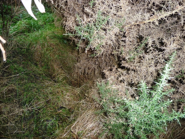
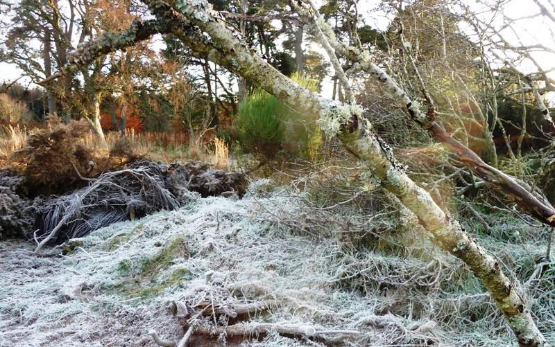
This cairn is hard to find as it is covered in all sorts of horrible and jabby vegetation. However not wanting to give in I flung myself thru the narrowest section to land on a small clearing which is the north section of the cairn. With all the vegetation it is difficult to measure the width. Canmore says 17 metres which seems about right, the height being 0.5 metres. The centre of the cairn can be found by crawling under the whins/furze etc. It has been houked or possibly it is a cist. Kerbs are visible in the south but impossible to reach. Like all the nearby sites maybe one day the vegetation will be cleared and we'll be able to see them. As for me it was back to the car for plasters and bandages as these cairns had taken their toll on my legs. Visited 24/11/2016. |
14th December 2016ce |
Upper Balfour 4 (Cairn(s)) — Fieldnotes |
|
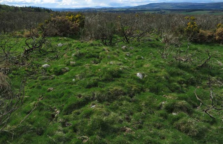
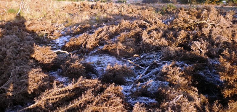
Thankfully the de-vegetation have made this cairn easier to find.....a little bit. Once again it has been covered in cut down branches, whin, furze etc. There are kerbs surrounding the wee cairn and they can be felt under the turf. Also there might be a cist going by the shape of the hollow in the middle. A slab, mentioned by Canmore, is visible but only just and backs up the cist theory. It is also covered in vegetation. It is almost four metres wide and 0.5 metres tall at its highest. Like nearby Knappach, a good tidy up could make this a fantastic area. Visited 24/11/2016. |
5th December 2016ce |
Upper Balfour 3 (Cairn(s)) — Fieldnotes |
|
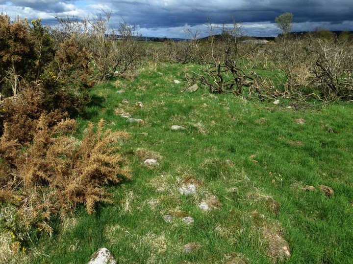
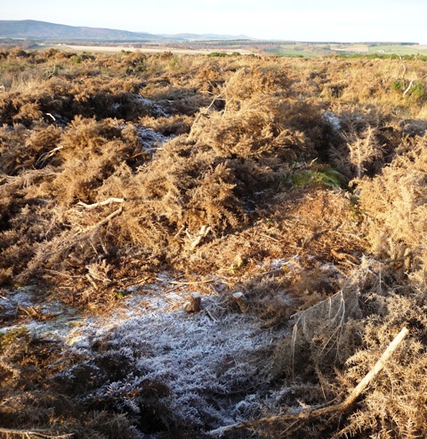
From the Kirkton Wood cairn I headed a wee bit further south, jumped the fence, found a gate, climbed over and headed east into a forest of whins, furze and various jabby things. Still I found a route through the frozen wastes and underfoot conditions from hell. They may have been cut and burnt a lot of vegetation but the remnants are just are as bad and treacherous. This would be a nice cairn if there wasn't so much vegetation piled on top of it. A broken tree adds the scene and helpfully marks out the site and width of the cairn. Kerbs are visible on the eastern side of the cairn which sits at over 9 metres wide and is 0.6 metres tall. The centre has houked which might explain the small pile of stones nearby. The views from here are stunning, Morven to the west and Bennachie to the north. Visited 24/11/2016. |
2nd December 2016ce |
Upper Balfour 2 (Cairn(s)) — Images (click to view fullsize) |
|
28th November 2016ce |
Upper Balfour 4 (Cairn(s)) — Images |
|
28th November 2016ce |
Upper Balfour 3 (Cairn(s)) — Images |
|
28th November 2016ce |
Showing 1-10 of 16 posts. Most recent first | Next 10