The Modern Antiquarian
Log in
|
Register
Home
Latest Posts
Forums
Maps
Help
Browse Sites
News
Blog
Contributors
The Books
Select
-
Belgium
Denmark
Eire
France
Germany
Greece
Italy
The Netherlands
Norway
Portugal
Republic of Malta
Spain
Sweden
Switzerland
United Kingdom
England
Southern England
East Sussex (inc. Brighton and Hove)
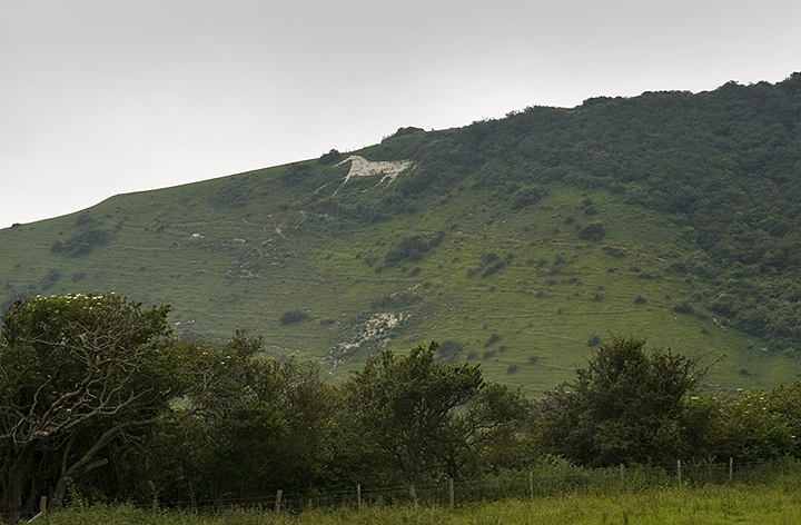
High and Over
Round Barrow(s)
High and Over (Round Barrow(s)) on The Modern Antiquarian, the UK & Ireland's most popular megalithic community website. 5 images, plus information on many more ancient sites nearby and across the UK & Ireland.
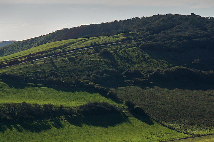
Image © A R Cane
Nearest Town:
Seaford (3km SSW)
OS Ref (GB):
TQ509013 /
Sheet: 199
Latitude:
50° 47' 27.59" N
Longitude:
0° 8' 28.34" E
Added by
A R Cane
Images (5)
0 discussions
Start a topic
Show |
Hide
Web searches for High and Over
Flickr
Google
Google Images
MAGIC
The Megalithic Portal
Bing
Stone Pages
Streetmap.co.uk
Wikipedia
Show map
(inline Google Map)
- Sites within 20 km -
-
Alfriston Church (2.08km NE) (14 posts)
Long Burgh (2.1km N) (12 posts)
Litlington (2.76km E) (0 posts)
Burlough Castle (3.49km NE) (1 post)
Berwick Mound (3.71km NNE) (4 posts)
Windover Long Mound (3.76km ENE) (7 posts)
Windover Cursus (3.76km ENE) (5 posts)
Windover Hill (3.8km ENE) (15 posts)
Seaford Head Bowl Barrow (3.8km SSW) (4 posts)
Bostal Hill (3.82km NW) (14 posts)
The Long Man of Wilmington (4.04km ENE) (76 posts)
Seaford Head (4.04km SSW) (15 posts)
Wilmington Hill (4.42km ENE) (5 posts)
Hunter's Burgh (4.6km ENE) (12 posts)
Firle Beacon (5.14km NW) (2 posts)
Firle Beacon (5.28km NW) (12 posts)
Baily's Hill (5.91km ESE) (5 posts)
Coombe Hill (6.54km ENE) (17 posts)
Bourne Hill (6.68km E) (3 posts)
Babylon Down (7.08km E) (2 posts)
Foxholes Brow (7.11km E) (3 posts)
Foxholes (7.27km E) (3 posts)
Beachy Brow (7.45km E) (4 posts)
Belle Tout (7.69km ESE) (2 posts)
Eastbourne Downs Golf Club (7.82km E) (2 posts)
Peacehaven Heights (7.85km WSW) (1 post)
Pashley (8.33km E) (4 posts)
Money Burgh (8.71km W) (1 post)
Mount Caburn (9.98km WNW) (29 posts)
Ranscombe Camp (10.45km WNW) (12 posts)
Saxon Down (11.19km WNW) (3 posts)
Cliffe Hill (12.42km WNW) (5 posts)
The Tump, Lewes (12.51km WNW) (27 posts)
Brack Mount (12.99km WNW) (3 posts)
Kingston Barrow Cemetery (13.87km W) (5 posts)
Castle Hill (Woodingdean) (14.16km W) (5 posts)
Beacon Hill (14.62km W) (1 post)
Offham Hill (15.17km WNW) (8 posts)
Plumpton Plain (17.96km WNW) (5 posts)
Whitehawk Camp (18.08km W) (13 posts)
Cross dyke in Great Wood (19.41km W) (0 posts)
Hollingbury Hillfort (19.73km W) (23 posts)
Bowl Barrow in Great Wood (19.77km W) (0 posts)
- Facilities within 20 km -
-
George Inn (Pub: 2.1 km NNE)
The Giant's Rest (Pub: 5.1 km NE)
The Hungry Monk (Restaurant: 5.3 km E)
Trevor Arms (Pub: 8.9 km NW)
Barbican House Museum ... (Museum: 12.9 km WNW)
The Jugg's Arms (Pub: 13.5 km WNW)
- Add -
-
Add news
Add an image
Add fieldnotes
Add folklore
Add miscellaneous
Add a link
-
Add a site
Add a nearby facility
Add an alternative name/spelling
Images
(click to view fullsize)
Add an image
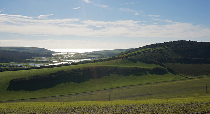
 Image © A R Cane
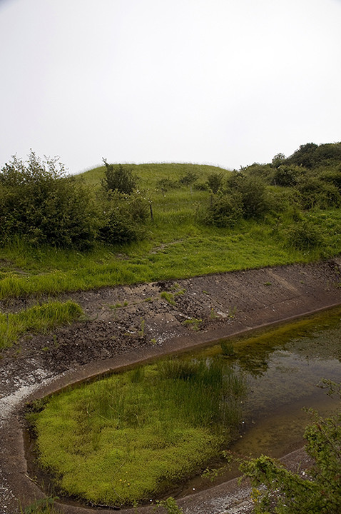
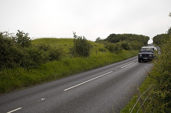