The Modern Antiquarian. Ancient Sites, Stone Circles, Neolithic Monuments, Ancient Monuments, Prehistoric Sites, Megalithic Mysteries

England   Northern England   Derbyshire  

Cales Farm SW

Round Barrow(s) (Destroyed)

<b>Cales Farm SW</b>Posted by thesweetcheatImage © A. Brookes (18.9.2011)
Nearest Town:Bakewell (6km NE)
OS Ref (GB):   SK16626436 / Sheet: 119
Latitude:53° 10' 32.58" N
Longitude:   1° 45' 4.73" W

Added by thesweetcheat


Discussion Topics0 discussions
Start a topic


Show map   (inline Google Map)

Images (click to view fullsize)

Add an image Add an image
<b>Cales Farm SW</b>Posted by thesweetcheat <b>Cales Farm SW</b>Posted by thesweetcheat

Miscellaneous

Add miscellaneous Add miscellaneous
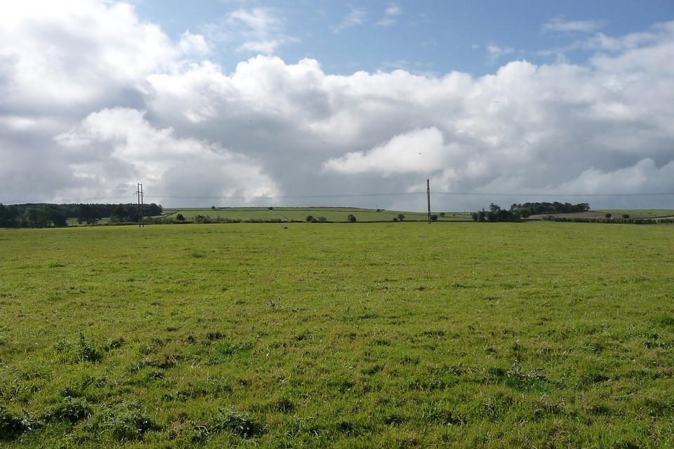
Ploughed out round barrow, has now disappeared. There was a burial and associated finds here. From Pastscape:

A barrow about half a mile east of Arbor Low [The published mound is 3/4 mile N.E.] was opened in May 1824 when part of a skeleton and a broken urn about 6 ins. in diameter, with calcined bones, were found. The burial had been previously disturbed by workman.

[1966 field report:] This barrow has been ploughed/over, max. height 0.4 m Published survey (25") revised.


NB: The field boundary shown on the 2008 1/25000 running along the SE side of the barrow to the SW is no longer there (see also Google Earth, which shows no barrow or field boundary).
thesweetcheat Posted by thesweetcheat
25th September 2011ce
Edited 25th September 2011ce