|
|

|
|
King DownRound Barrow(s)
|
||||||||||||||||||||||||
|
|
|
Images (click to view fullsize) |
|
Photographs:
 Maps / Plans / Diagrams:
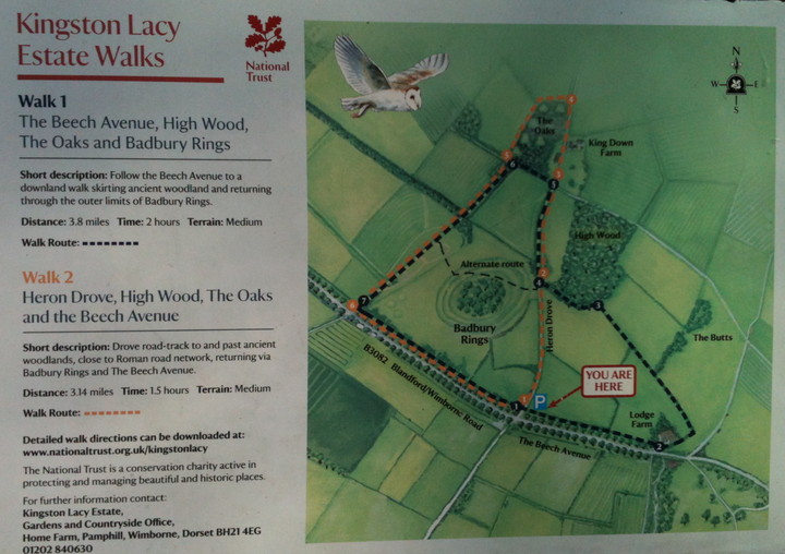
|
Fieldnotes |
|
|
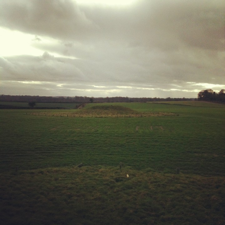
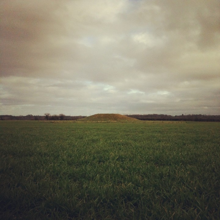
The walk to King Down barrows from the Blandford Road, the B3082, makes the arrival here all the more special. Badbury Rings can be a very busy site to visit, it's well used in all senses from dog walking to ritual activity and (it would seem) everything in between. If you take the bridle way past the rings you will find yourself walking on an old Roman road as well as an ancient green road as you walk around this beautiful and comparatively remote countryside. Along the way you will be offered different perspectives of Badbury Rings, pass 700 year old Oak trees and leave all sounds of traffic far behind you. The Barrows themselves are just of the bridleway on the crest of a hill within a freshly planted field. They are well visible at different points in the landscape. When up close with them they are found to be in good condition considering there is no trace at all of the other barrows that once shared this space. I would recommend putting a day aside to walk these green lanes and to follow the Roman road, get lost in it all, eventually you'll find your way back to Badbury rings as we did but feeling much more connected to the place and with a greater understanding of the positioning of it in the landscape away from the national Trust car park and country roads. |
23rd January 2012ce Edited 23rd January 2012ce |
|
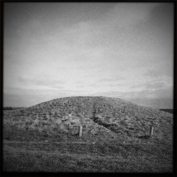
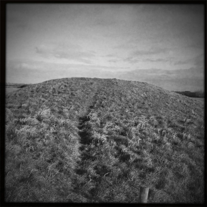
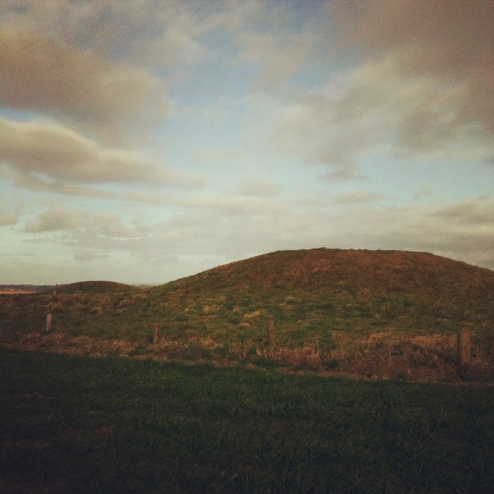
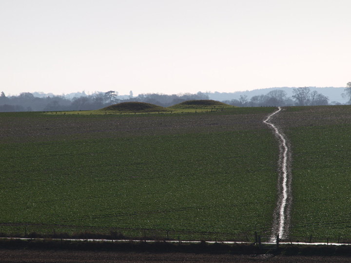
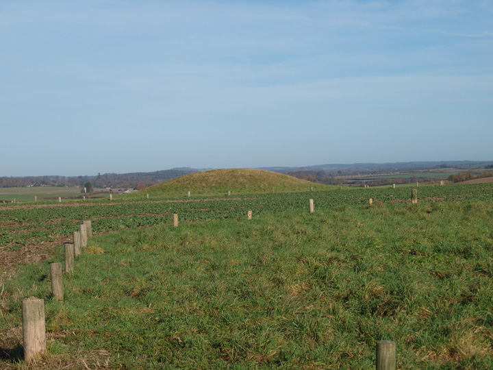
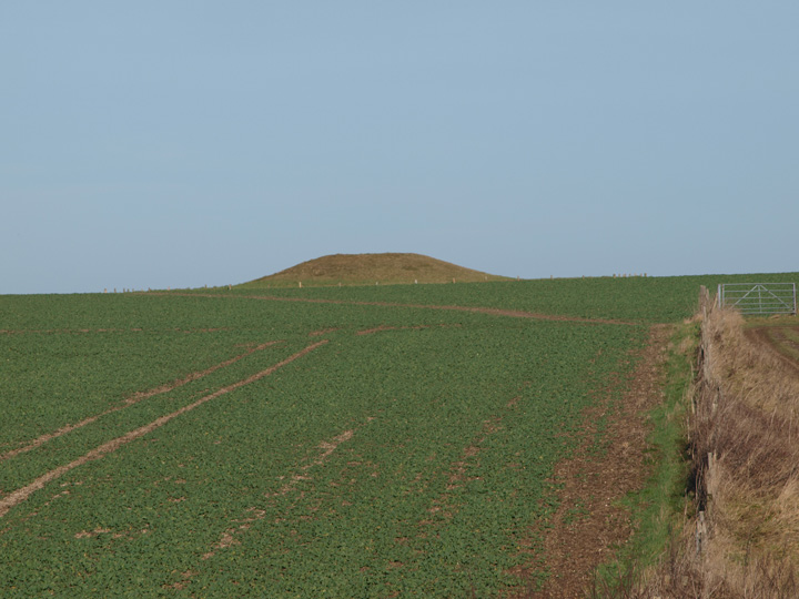
These are a nice pair of possible bell barrows and are well protected from farm vehicles with short wooden posts surrounding them. They are both roughly 20 yards across by 6 feet in height and the southern of the pair shows obvious signs of having been excavated. They are sited on a slight rise from which the nearby Bradford Barrow can just be seen in the distance. Grinsell lists these as Pamphill 1,2,3,4 and 4a - 3,4,and 4a are no longer visible - he couldn't find 4a and 3 and 4 were only a foot in height. These have probably fallen victim to the plough in the 50 or so years since Grinsell saw them. These are close to Badbury Rings hillfort and there are well marked bridle ways to and from the barrows and the rings. |
 Posted by formicaant
20th January 2011ce Edited 20th January 2011ce |
Miscellaneous |
|
|
Details of barrows on Pastscape King Down Group of four barrows on the crest of a ridge, about 160 ft. above O.D. All have been damaged by ploughing, and (c) and (d) have been largely flattened. From one of these came two barrel urns, one of 'South Lodge' type. (A) Bowl (98020341); diam. 65 ft., ht. 6 ft. (B) Bowl (98030347); diam. 58 ft., ht. 6 ft. (C) Bowl (98060345); diam. 45 ft., ht. under 1 ft. (D) Bowl (98080344); diam. 45 ft., ht. under 1 ft. (2) Air photographs taken April 15th 2002 show A and B extant as earthwork mounds and removed from cultivation. C and D are visible as ring ditches. Equidistant from the last two, and almost in between them, is another very small ring ditch. (3) |
 Posted by Chance
4th April 2016ce |