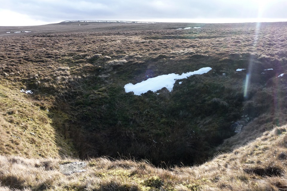
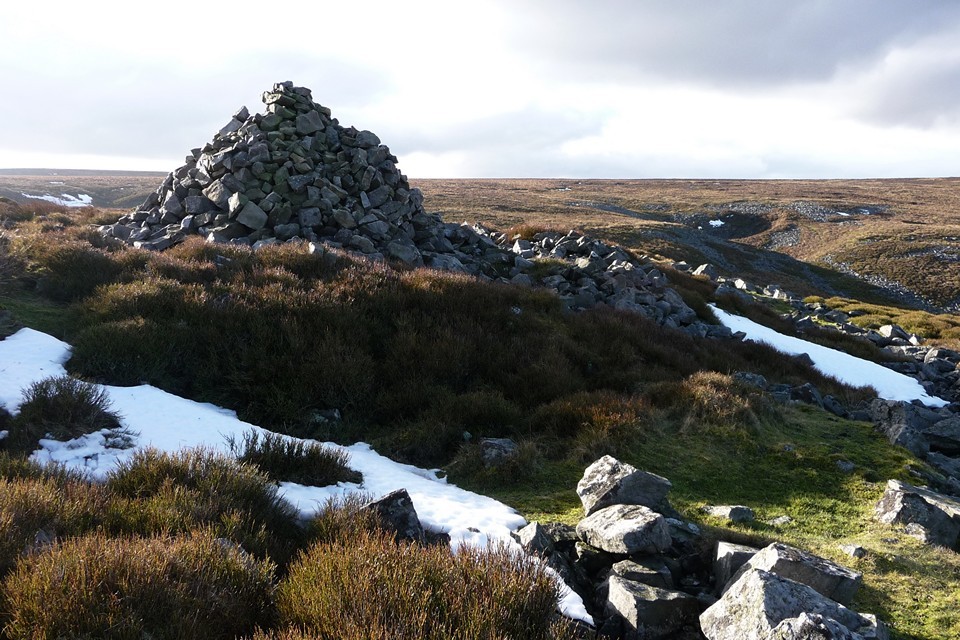
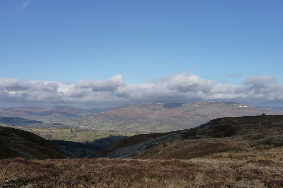
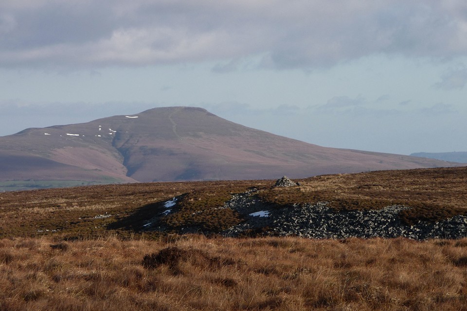
I head north, as I have one further cairn to visit on this inhospitable hilltop. Again, the going is surprisingly tough, the paths are faint and before long I’ve stumbled into a much boggier area, where clumsily leaping from tussock to tussock is the only hope of keeping dry feet. Eventually I get towards the edge of the scarp, and the cairn comes into sight, another weirdly rebuilt shape, apparently hanging right on the edge of the void. There’s a small stream to negotiate first, narrow but fast-flowing, swollen by the melt from the heavy snows before Christmas. Here I meet the only people I’ve seen for hours, but as I follow the top edge of the scarp, the views become superlative and breathe is taken away. Whereas the view from the other cairns was of a gently receding slope in front of a long-range mountain backdrop, from here the drop is steep and the Usk valley appears, dizzyingly far below. Crickhowell is a toy-town, white against the fertile farmland of the valley. Crug Hywel fort is now in view, very different to the snow-covered vista of my recent visit.
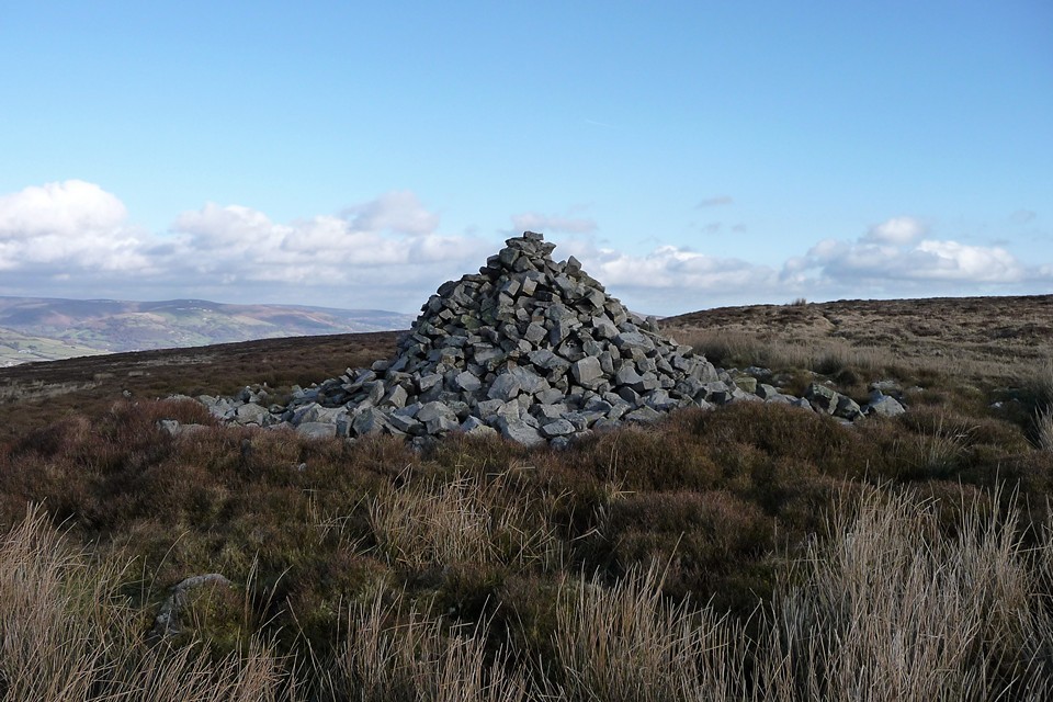
The cairn, Eglwys Faen (“stone church”, pronounced egg-lewis vine) is indeed perched above the drop. The stones have been fashioned into an odd pyramid, belying the larger footprint below. That said, for some reason this seems less appalling than the damage inflicted upon Mynydd Llangatwg cairn. Perhaps the wonderful placement makes up for any damage, perhaps in truth the landscape really is the thing and the cairn is merely intended to be the draw, the bait. If this is indeed a stone church, the beautiful, epic vista across the valley is worthy of worship, whatever your views about gods.
I wonder how the site of the cairn might relate to its landscape. 'Eglwys Faen' means 'Stone Church' and is the name of a big cave in the limestone cliffs immediately below. There is an extensive cave system under here (and shake holes above) - you can read all about it here.
2.5 Metre high cairn constructed with sandstone boulders. 4 metres across at base tapering to a point. To west side of feature large amount of boulders that may have been part of base. Slight 20 cm deep depression noted around perimeter that extends slightly wider than the area covered by the base that suggests that this feature may have been bigger.


 Posted by thesweetcheat
 Posted by Rhiannon