|
|

|
|
Wall Hills (Thornbury)Hillfort
|
||||||||||||||||||||||||
|
|
|
Images (click to view fullsize) |
|
|
Fieldnotes |
|
|
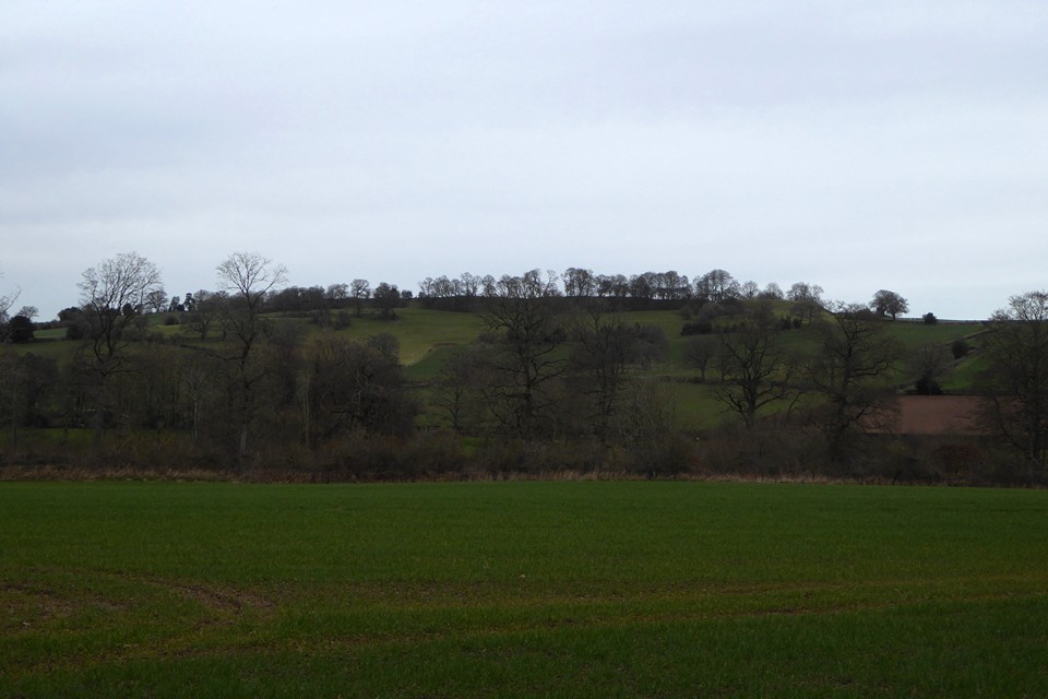
Visited 19.4.13 Directions: From Bromyard take the B4212 north towards the hamlet of Edwyn Ralph. Just before entering Edwyn Ralph the road forks. Take the minor road to the left and then the first turning on the right. This leads directly to Wall Hills Farm and the associated Hillfort. We drove up the narrow lane and the Hillfort became immediately apparent on the left. It is difficult to park but we managed to pull in just before the second cattle grid. If you walk over the grid there is a metal field gate which gives access to the Hillfort. There is no public right of way so a degree of trespassing is required. The impressive defences are clearly visible from the road if you prefer. If you do decide on a closer look you will be confronted by a well preserved bank and ditch. I would estimate the rampart to be about 6m high from the outside and about 2m high from the inside. There is a hedgerow / barbed wire fence which divides the southern section of the Hillfort. All was quiet and I only had sheep for company. There are no trees growing on the Hillfort and there are great views to be had in all directions. This is a fairly flat area and you could see for miles. In view of the hedge/fence and the fact I wasn’t supposed to be there I didn’t hang around too long. In hindsight it would have been far better to have asked permission at the farm Just as we turned around and headed back down the lane a car came the other way heading towards the farm. That was a bit of luck as 5 minutes earlier and I would have been spotted! This is a cracking Hillfort; the best I have visited for quite a while. I am surprised that no one else has posted Fieldnotes before this. I would heartily recommend a visit. Be sure to ask permission first! |
Posted by CARL 23rd April 2013ce |
Folklore |
|
|
"The Lady Well This well has now been tanked and there is a small reservoir. It is beside an old stretch of track on the footpath leading east from St Anna's church. The well is said to have been the source of water for Wall Hills hill fort. There was supposedly a secret tunnel from a pair of yew trees formerly on the edge of the camp all the way to the yew that still overshadows the well." From "The Healing Wells of Herefordshire" - Jonathan Sant (1994 Moondial). The well is not marked on the OS 1:25000, but the work above gives the NGR as SO6262 5962. |
 Posted by thesweetcheat
6th February 2009ce |
Miscellaneous |
|
|
From "Hereforshire Register of Countryside Treasures" (1981) H&WCC: "Occupying southern and higher portion of flat topped hill. This early Iron-age hillfort is oval-shaped. It covers about 22 acres (8.8 ha.), is surrounded by large 35-40ft single rampart with deep ditch and now has four entrances." A minor road runs along the eastern side of the fort, which is on private land. |
Posted by thesweetcheat 21st January 2009ce |