Details of site on Pastscape
Flag Fen is the site of a major Bronze Age wetland site. The site comprises a raised timber walkway of 1km long leading to a platform of around 3.5 acres in area. Associated with the post alignment are discrete deposits of ceramics and metalwork that shows evidence of deliberate damage, indicating ritual use of the site. Some artefacts may have been made specifically for water deposition whereas other examples, especially of pottery, appear to be genereal domestic wares. There is some suspicion that some of the metal artefacts date to the Iron Age and are associated with later relationships between the site and people from the surrounding area. The platform has been radiocarbon dated to between 1000 and 660BC, within the Late Bronze Age. The post alignment has been assigned a date of use from between 1300 and 900 BC from dendrochronology which would suggest that it is slightly earlier than the platform, although there is some overlap in the date ranges.
Nearby are the remains of Early Bronze Age field systems which went out of use in the early first millenium BC, around the same time as the construction of the platform. It is thought that the field systems are indicative of a settlement on the edge of the fen, also inferred by faunal remains and the domestic pottery finds.
The site is now operated as an open air museum with a visitor centre.
English Heritage. 2012. 'English Heritage: The National Heritage List for England', http://list.english-heritage.org.uk/resultsingle.aspx?uid=1406460 [Accessed 27-MAR-2012]
|
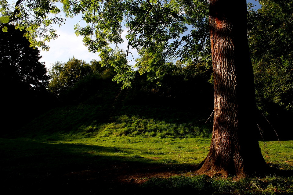
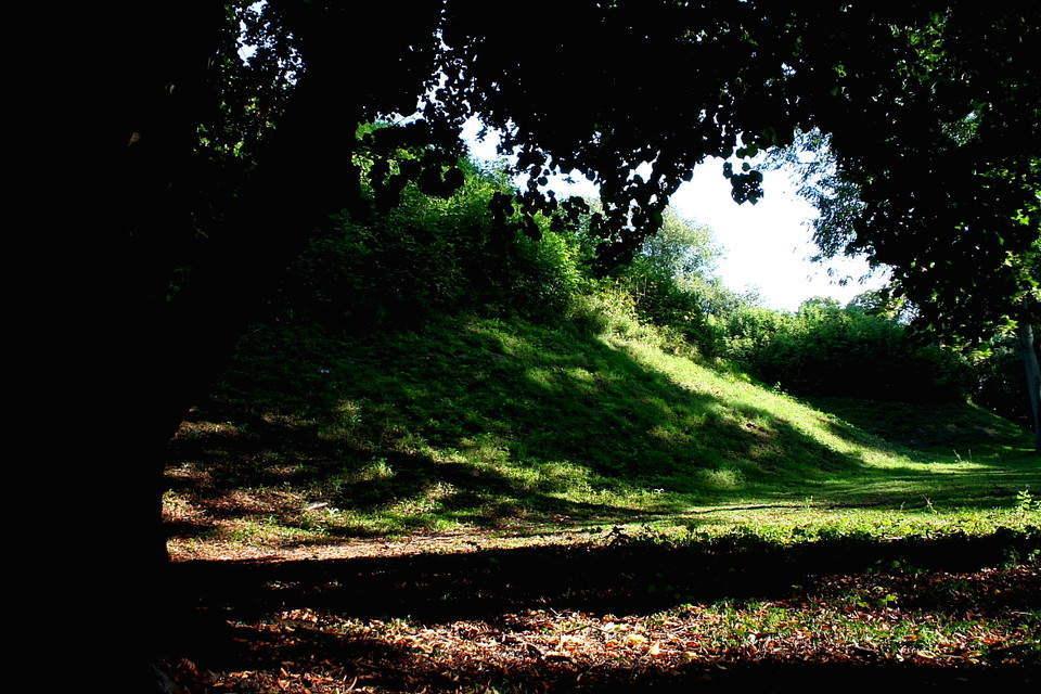
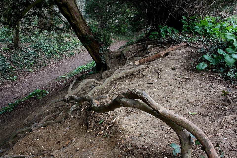
 Posted by Chance
17th July 2015ce
|
  
|
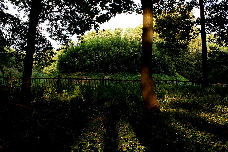
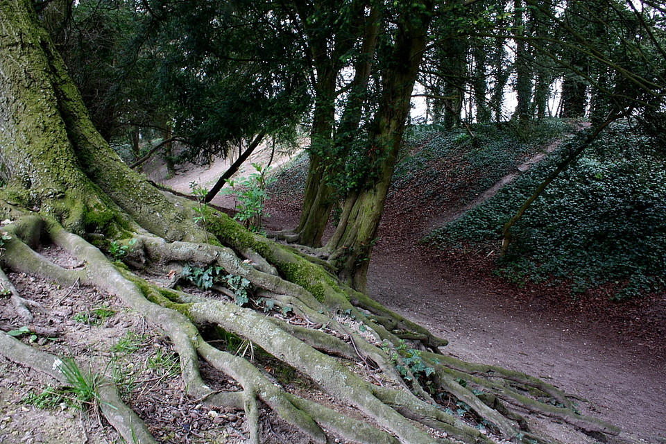
 Posted by GLADMAN
24th April 2015ce
|
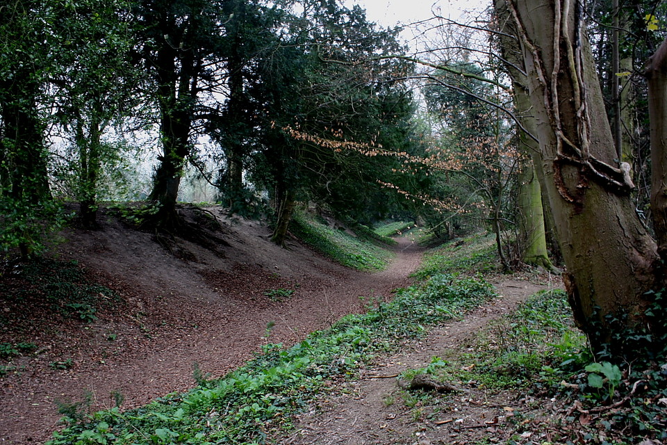
Details of henge on Pastscape
A sub-circular enclosure is visible as low earthworks and as cropmarks circa 220 metres east-south-east of Herring's House. Scheduled as a henge, the enclosure measures about 150 metres by 160 metres and comprises a C-shaped ditch with a broad internal bank. Within the circuit of the bank is another ditch. Both ditches and bank featre a 30 metre wide entrance or causeway to the north east. Two sections of a further external bank have also been noted. Within the interior of the enclosure are cropmark traces of a small three-sided enclosure circa 30 metres square, its open side facing the entrance to the henge.
|
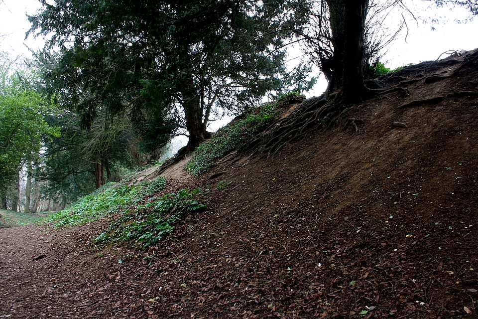
Posted by Chance
4th January 2015ce
|