The Boreland Stones can easily be visited along with the two nearby cairns. Visit the Boreland cairn first then follow the directions for the White Cairn, Boreland. This will take you directly past the Boreland Stones. Three sites for the price of one!

markj99

Eastern delapidated cairn at Machermore. It is listed as Canmore ID 62260.


Visited 14.10.18
The Machermore cairn should be called Culroy Cairn as it is on Culroy farmland. A Canmore search for Culroy will find these cairns.
The cairn is almost perfectly preserved except for some exposed stones on the E flank. It’s location in a flat field elevates this cairn into my top 10.
I found the cairn to the E, however it is covered by whins and in poor condition.
Culroy White Cairn lies 50 yards of the Y junction at Culroy farm around 1/2 mile up the road.
I have plans to revisit to sort out the remaining cairns. Canmore’s 1911 visit seems to have been over enthusiastic in it’s cairn nominations.


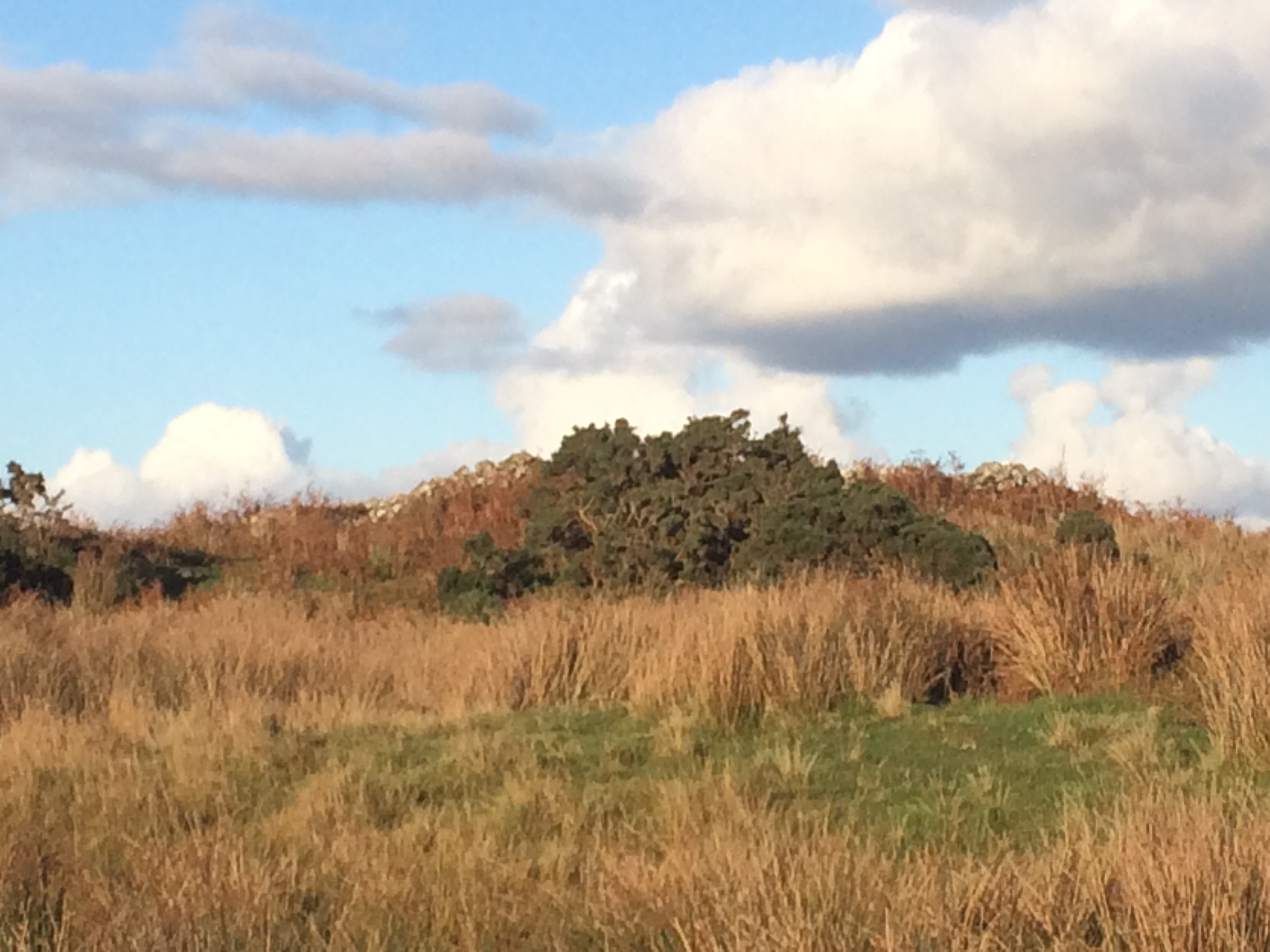
Visited 14.10.18
Turn onto the A747 Port William road from the A75 at Glenluce. Take the first L for Whitefield Loch after around 1.5 miles. This is a narrow lane with few passing places! Continue past the loch until you reach a Y junction at Culroy farm after around 2 miles. The White Cairn lies 50 yards N of the Y junction, in the moorland. Retrace your route to return as this is a dead end.
I expected to see a gleaming white cairn from a distance. The reality was somewhat different. I found the cairn more by GPS than sight.
The cairn is constructed of white stones however it is hidden under vegetation and the centre has been robbed out. A horseshoe wall structure is all that remains.
“A large cairn, which, at the date of visit, was being broken up for road metal. One half had already been removed and the remainder lay ready for removal. It was about 45’ in diameter and no cist was exposed.”
RCAHMS 1912, visited 1911
The quote is an extract from Canmore ID 62210 (go to Links) explaining the sad demise of this cairn.
Visited 16.05.15.
The Grey Man is a mimetolith c. 1 mile SE of Merrick summit. A mimetolith is a natural rock which resembles something else, in this case, a bearded face in profile. The Grey Man lives at NX43658450, in the middle of nowhere. To find him requires competent map and compass work or GPS navigation. It is a 10 mile walk in the Galloway hills so good walking boots, a good fitness level and good weather would be recommended.
Avoid the Merrick path which starts at Bruce’s Stone, continue down the road, cross a bridge and bear left onto the Loch Valley path. The path is defined but boggy in places, continuing upwards towards Loch Valley, then Loch Neldricken. From here head N over boggy ground towards the small Loch Arrow. Continue N to climb Craig Neldricken. Loch Enoch lies straight ahead, a substantial body of water. When you reach the loch head turn L round the shore. Look out for a valley between two rigs, heading SW. Hug the R side of the valley until you emerge into the expansive Rig of the Gloon. The Grey Man should be on the rock face on your R, silhouetted on Benyellary. The optical illusion works best viewing the rock face from the E. The view from the W is less convincing.
I retraced my steps to return, however it is possible to head for the summit of The Merrick and return by the Benyellary and Culsharg Bothy route given a long day and plenty of energy.
Directions: From Newton Stewart town centre take the A714 Girvan road. Follow the A714 for 8.5 miles until you reach Bargrennan. Take the R turn for Glentrool village. Drive past Glentrool Village, take the R turn for Loch Trool & Bruce’s Stone. Follow this narrow road for 4 miles until you reach the Bruce’s Stone/Merrick Car Park. The public road ends here and it becomes a rough track. My walking route is viewable on Grey Man of the Merrick.


The Grey Man from Rig of Loch Enoch approach, in the centre and easy to overlook.


Visited 04.10.18
Following in GLADMAN’s footsteps there were two coincidences. I ran into a friendly farmer but forgot to ask his name. He was relaxed about me visiting the cairns. Secondly I also had “bovine bovver”. Mid Gleniron I & II are in the same field 100 yards apart. Mid Gleniron II is close to the dyke but Mid Gleniron I is in the middle of the field. Mid Gleniron I was surrounded by a large bull and beef cattle. I have visited it before so I reluctantly decided to miss it out this time. However Mid Gleniron II was close to the dyke so I explored it instead. It has been extensively robbed out but I did discover a Bullaun stone near the top of the cairn as a bonus.
Canmore ID 61594 (go to Links) gives an interesting overview of Mid Gleniron I’s evolution through time. Canmore ID 61608 (go to Links) tells the sad tale of Mid Gleniron II’s decline.
Visited 29.08.18
Beinn Ghott Cairn is a small cairn c. 0.5 mile NW of Scarinish on the Isle of Tiree. On approach I found a round cairn c. 4m across, 0.5m high with a prominent stone c. 0.5m high in the SE, the only stone on this half of the cairn. The cairn is covered by turf however there is a scatter of small to medium sized stones on the NW arc. There are several medium sized stones embedded in the SW kerb.
There was another possible cairn 50m further SE, however, I thought that this was a natural knoll.
Beinn Ghott Cairn is listed as Canmore ID 307523 (go to Links).
Directions: Parking is available in a large roadside lay-by 500m from Dun Beinn Ghott on the way from Gott to Scarinish. Head for the old military building then veer left to the summit of the dun. Looking SE from the summit a medium sized stone can be seen in the field 100m away, marking Beinn Ghott Cairn.
Visited 15.09.18
See Boreland for directions to Car Park NX 3575 5797. Drive on the B7052 Sorbie for 50 yards, turn R onto a single track road. After approximately half a mile, park in a gateway on the R from which the Boreland Standing Stones can be seen, 150 yards to the N.
The cairn can easily be visited after Boreland Standing Stones. The White Cairn, Boreland lies in a concealed hollow 200 yards N of the two stones.
The cairn is around 30m across by 2m high. The cairn’s earth bank is well preserved in places however the summit plateau has many scattered stones.
There are som aerial pictures of the cairn on Canmore ID 62849 (go to Links).


Visited 29.09.18
There are no less than 5 crannogs listed for Whitefield loch on Canmore. The only crannog surveyed since 1976 is Dorman’s Island which yielded evidence of occupation in 2003 & 2006 archaeological excavations (Canmore ID 62160).
The overgrown island is in the right location and the right size for this crannog, however I didn’t find the causeway. The water’s edge had a blue green algae and I didn’t want to get too close.
Visited 22.09.18
See the Loch Head Fieldnotes on how to get to Elrig Loch car park. It makes sense to visit Carlin Stone and Loch Head together since they are 500m apart and share the same car park.
The Carlin Stone is near the dry stane dyke in the field opposite the car park. Walk around 200m NW along the road looking N across the field to see the stone. You can walk around the perimeter of the field to access the Carlin Stone. It is around 1.5m high and pointed.
According to Canmore ID 62702 (go to Links) the Carlin Stone was one of six stones forming a small stone circle. There are no traces of the missing five stones so we are left with a single yet quite impressive standing stone.

Visited 22.09.18
Loch Head is a small hamlet around a crossroads. The easiest way to get there is to take the Elrig turn off the A747 1 mile W of Port William. This is a sharp turn onto a narrow road. Continue through Elrig and you will glimpse a loch on your right. This is Loch Elrig. As you reach the crossroads the cairn is on the right opposite the first house in Loch Head. Parking is available if you turn left at the crossroads, travel around 100 yards to a large car park on the left for Loch Elrig.
The grassy cairn is around 50 feet across by 3 feet high. There are some scattered stones remaining in the circle on the SW perimeter.
Carlin Stone is 500m N of the cairn and can be accessed from your current car park.
Loch Head cairn is recorded as Canmore ID 62701 (go to Links).

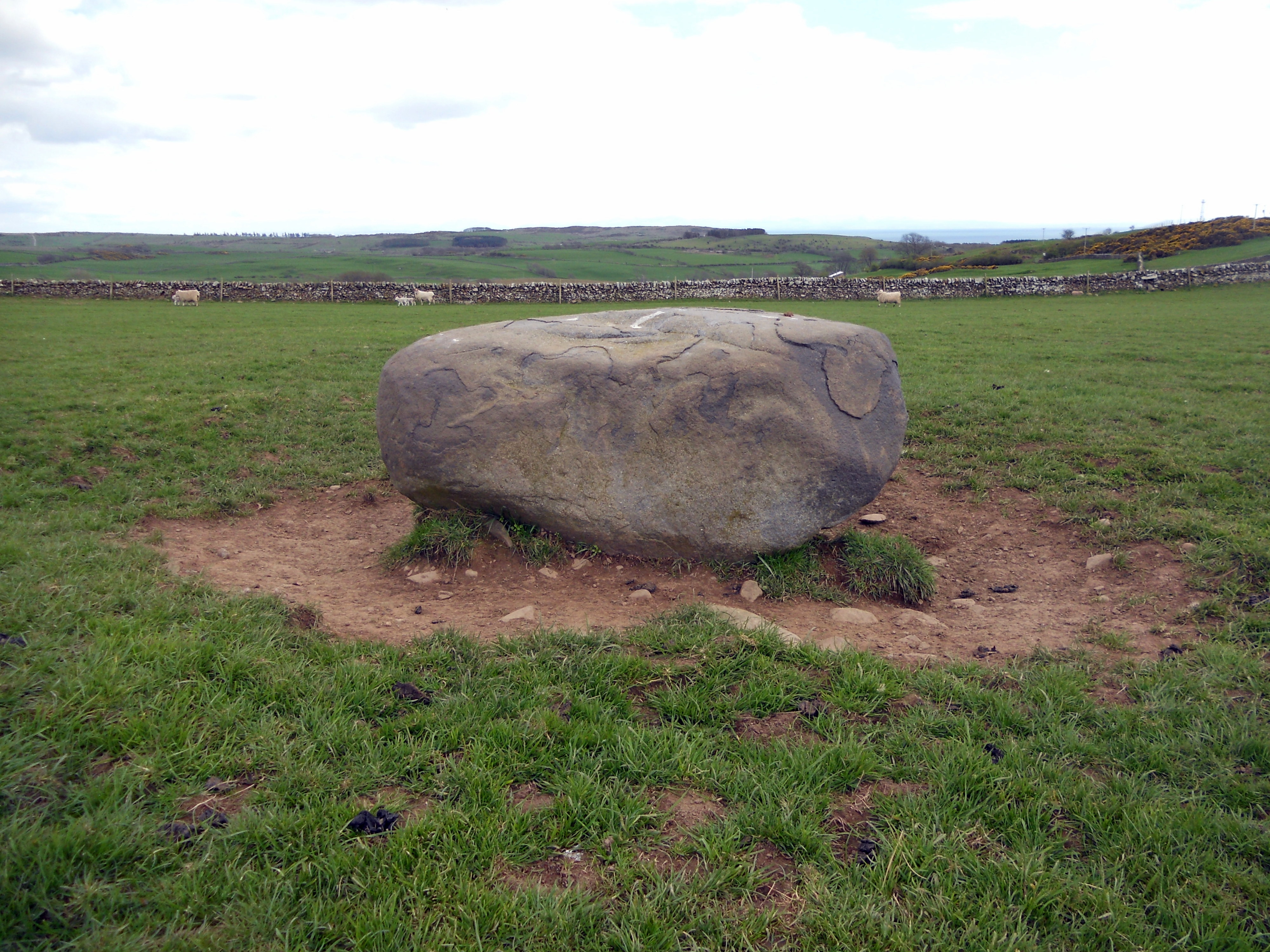
Visited 14.04.12
Given the size of the remaining stones and the views from the stones it’s possible to imagine this site as a sacred place for an ancient farming community, built using readily available stones.
I am planning to visit Drummore Castle hillfort soon so I shall take the opportunity to revisit Drummore to test this theory.


Visited 16.05.09
“Billy Marshall’s Cave is situated at NX494679, approximately 900 metres north west of the summit. Again this cave is worth a visit, but difficult to find. Fortunately a rock above the cave has an iron bar protruding from it – thus helping to identify its location.”
The above quote is from Newton Stewart WalkFest.
It is more of a rock recess than a cave lying 2 metres below the slope and extending for around 10 metres. There is not much room for Billy Marshall’s Band of Gypsies.
Visited 01/12/13
The stone was not easy to spot from the N.
I was in the field before I saw my target.
It’s a handsome stone for a short walk so why not visit if you are in the area?


Whirlpool Standing Stone. Note the relative position of the turbines on the horizon.

Whirlpool “Recumbent” Stone. NX 0662 4898: This standing stone is 1.1m high x 0.65m wide x 0.35m according to Canmore.
Visited 02.10.18
I was visiting Cairngarroch Bay nearby so I decided to revisit Whirlpool Stone. As indicated by my 2012 pictures, it is still in a recumbent position.
To find this stone follow the following directions.
From Stranraer follow the A716 Drummore for 6.5 miles until you reach Sandhead. Turn R onto the signposted B7042 Portpatrick road for 0.3 miles. Turn L onto the unsigned road at the end of the wood. Follow this road for 1.4 miles until you pass Auchentibbert Cottage on your R, then turn L after 100 yards. Stay on this narrow lane for 0.6 miles observing the 3 wind turbines on Whirlpool Farm on the R. You can park at a double gate at the base of a hill. The Whirlpool Stone lies 300 yards up the hill in the field to the L.
Canmore ID 60453 (go to Links) indicates the Whirpool Stone was standing in 1984 but recumbent in 1995.
15.09.18
There is a parking space at NX 3575 5797, where the B7052 signposted for Sorbie turns off the B733 Kircowan to Wigtown road. The Boreland Cairn is on the R hand side 50m before the junction. There is a gate 200m along the road avoiding an electric fence. The cairn is evident in an otherwise flat field.
15.09.18
The stone lies opposite no 18 in Bladnoch main street. It is an irregular stone prominent above the regular wall. It’s true nature can be seen from the field side of the wall where the breadth of the stone is visible. There is an entrance into the field c. 75 yards W of the standing stone.
Bladnoch Standing Stone is noted by Canmore ID 63382 (go to Links).


Visited 06.11.11
I parked at the Auchmantle farm on the minor road from Castle Kennedy to New Luce. The Glentirrow Stones are 500m W of this location. I headed N from Glentirrow Stones over bleak moorland towards a distant stone cairn. The summit of Cairnharrow lies 1.5k NW of the cairn over rough ground. Cairnscarrow Trig Point is at NX 13626 64802. There is a clear path bearing NNW from here. Follow it for c. 200m straight to Auld Wife’s Grave. The OS position is NX 1355 6497 on the Landranger map. Retrace your path to return. This is a walk for a good dry day because of visibility and going underfoot. The total distance covered was around 8km (5 miles).
Canmore ID 61688 (go to Links) suggests that the cairn’s chamber may been created from a natural rock formation.

29.08.18 On the way back from Dun Mor Vaul I found a small house by the shore. About 100m W there was an obvious dun as pictured by Thelonius. I ascended the steep slope to discover two significant depressions which looked to be man-made. It could have been a small fort or settlement.
Canmore ID 21527 (go to Links) states that pottery found on Dun Beag, Vaul links it’s occupation to a similar period as Dun Mor Vaul Broch.


