


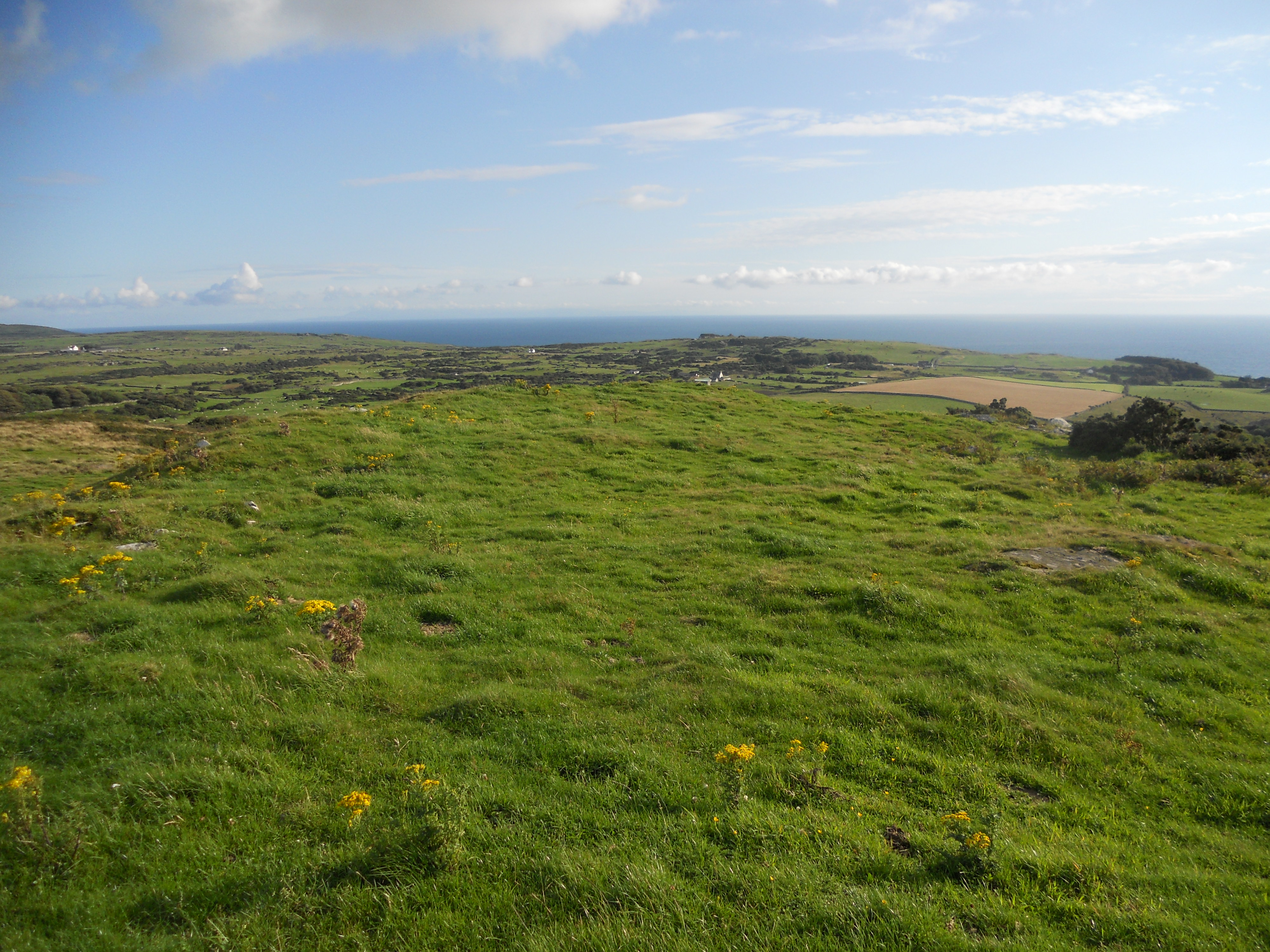
Take the A712 turn off the A75. Take the second left for Kirroughtree /Conifers Lodges, a single track road with passing places. After 500 yards there is a passing place at NX42646579 where you can stop safely.
Kirroughtree House N lies 250 yards N in a field. It look just like a natural grass mound until you are close enough to the slight hollow in the summit. It is a naked cairn that blends into the landscape.
Canmore ID 63431 (go to Links) verifies its status as a cairn.
Take the A712 turn off the A75. Take the second left for Kirroughtree /Conifers Lodges, a single track road with passing places. After 500 yards there is a passing place at NX42646579 where you can stop safely.
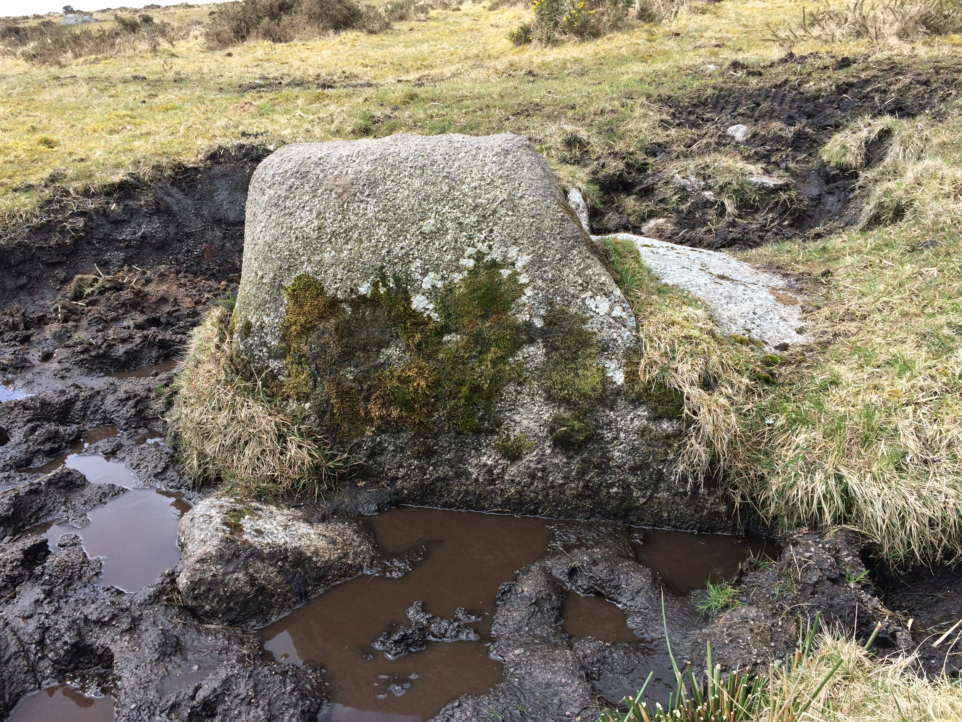
Kirroughtree House W cairn is visible 200 yards SSW.
It is around 20 yards across with a large tree growing out of the mound and an outline of a circular stone enclosure. The summit is stony and grass-covered with no visible cist.
The cairn itself and its lower location make it less impressive than its neighbour, Kirroughtree House E.
See Canmore ID 63442 (go to Links) for more details.
Take the A712 turn off the A75. Take the second left for Kirroughtree /Conifers Lodges, a single track road with passing places. After 500 yards there is a passing place at NX42646579 where you can stop safely.
Kirroughtree House E Cairn is a large cairn around 20 yards across, planted with a ring of mature trees and surrounded by a tumbledown dry stane dyke. Kirroughtree House W cairn is visible 200 yards NNW. Head for this and take a gate left into an adjacent field. Kirroughtree House E is 200 yards E.
The cairn has a commanding view towards Creebridge and the A75. The trees and the wall lend the cairn a greater presence in the landscape.
There are some exposed stones on the cairn but no cist visible.
Canmore ID 63441 (go to Links) gives a fuller account of the cairn.

Ailsa Craig Castle from above. It looks like it’s perched on the sea but it is sited inland.


Visited 17.07.13
It was third time lucky on the MV Glorious out of Girvan. We were turned back by the waves on two previous trips but persistence rewarded me with around two hours on the rock.
The rock has a lighthouse, two foghorns, a ruined tower house and industrial remains on the shore. It is famous for Ailsite granite curling stones which are prized for their durability. Some unshaped stones can be found on the beach.
There is more vegetation than is apparent from a distance and the grassy summit is 338 metres above sea level.
There is a parking lay-by at NX42746533 on the B7079 just before the A712 junction. Walk towards Creebridge observing Low Lessons in the field to the right. Around 200 yards there is a gate into the field with Low Lessons lying 200 yards WNW. High Lessons lies a further 200 yards WSW beside the stone wall, partially fenced off. Only an outline remains with a stony base. There is a gate just beyond High Lessons onto the footpath.
Canmore ID 63434 (go to Links) give futher information on Low Lessons and Canmore ID 63433 (go to Links) on High Lessons.


St Breock Wind Farm Barrow summit with a rubble of exposed stones.


Slaughter Bridge inscribed stone in the Arthurian Centre
Visited 28.11.17
Sharpitor Cist is around 100 yards from the B3212 to Princeton. There is a well preserved cist and two orthostats, NW & SE of the cist.
You can park at SX557707 approximately. Walk NE parallel to the road for around 150 yards until you see two parallel stones, 3 feet high. The cist is between these stones.


Visited 15.10.13
I didn’t find anything at the grid reference given but I did find three stones adjacent to Kerrowe at SW451377. Stones I & II could have been part of a stone setting, however Stone III was approximately 100 yards SW of the others.


Enclosure of Fell of Barhullion Hillfort viewed from N.


The Devil’s Bowling Green is an unusual rock feature found 500 yards NNW of the summit of Craignaw in the Galloway Hills. There is a an extensive strata of flat rock with a scattering of assorted rocks on top giving the surprising impression of a bowling green. Whether found by accident or targeted this site is a genuine rarity.


