
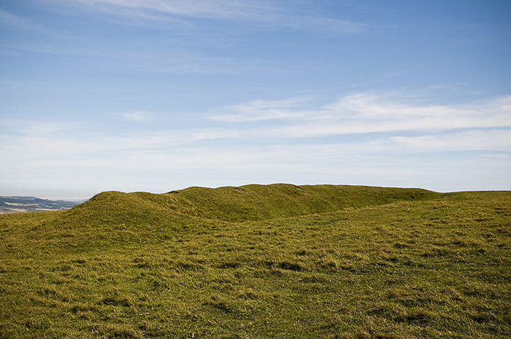
One of the 2(?) disc barrows near the car parking area.
Image credit: A R Cane

One of the 2(?) disc barrows near the car parking area.

Facing more or less due South.

Two days later during the day, though a little overcast and gloomy, but still mightily impressive.

Facing North East in the gathering gloom. It’s quite an eerie place at night even though there’s an isolated house just 100m from the stones.

Facing North West. Can’t help thinking it looks just a little bit phallic from this angle?

Panorama looking back East across the island from the ‘Harboro’.

Facing West with the Tennyson Down cliffs just visible.

A small ring of stones set into the top of one of the largest barrows, the ‘Harboro’. Nice touch, but not ancient! These were placed here in WW2, I believe, when this spot was an Observation Post. There’s also a lump of concrete sticking out of the south eastern edge which may have been part of a larger structure.

Looking back towards Five Barrows on the left and behind that the Solent and the mainland.


Facing West with Compton Bay, The Needles and the Solent in the background.

Panorama facing South East with the best defined barrow in the foreground.

Panorama from the top of a barrow in the South West corner.
This is an intriguing little strip of land which extends some 3 miles from Freshwater Bay in the East to The Needles in the West. At the Freshwater Bay end you’ll encounter a cross dyke and then, interestingly, a ‘Neolithic Mortuary Enclosure’. This is quite faint but just about discernible although there’s nothing at this end to tell you what it is, you get the information if you walk to the end of the ‘Tennyson Trail’. The trail is named for Alfred Lord Tennyson, the poet, who lived in the bay and stolled daily on the Down. About a mile from the bay stands a monument to him which replaced a landmark for channel shipping called ‘The Nodes’, a replica of which now stands forlornly in some bushes a few hundred yards further West. Near this are also a couple of barrows largely worn down with age and the feet of countless hordes of tourists.
As you get closer to the Needles there are more and more barrows and a lot of unidentified earthworks, some of which may be attributable to the defences built over the centuries up to the time of the Cold War in the aftermath of WW2. Here, unbelievably, was a ‘rocket testing station’, where ‘Blue Streak’ and ‘Black Knight’ rockets built for the British government in East Cowes were tested, but not launched, before being sent to Woomera in Australia for launching. There’s also an interesting and free museum there to tell you all about it.

A cross dyke on the Tennyson Trail above Freshwater Bay.

Another view of the ‘Neolithic Mortuary Enclosure looking North East.

According to the notice board at The Needles this is a neolithic mortuary enclosure (simply an ‘earthwork’ on the OS Explorer map for the I of W). It’s situated right next to the Tennyson Trail on Tennyson Down just up from Freshwater Bay.

A pair of rather lowly barrows near the Tennyson Monument and the footpath leading to The Needles behind.

One of the Bronze age barrows on West High Down with the valley that leads down to the rather tacky Alum Bay in the background.
There were a number of these strange shapes near The Needles and it’s hard to say if they’re really old or if they’re part of the mauled landscape due to the ‘rocket testing’ station at The Needles Battery during the Cold War.
This site is of note simply because most of the barrows here seemed to consist of shards of flint rather than the more common chalk and turf barrows which proliferate throughout the rest of the island. I did wonder if there had perhaps been flint mining around here also but can’t find any evidence for it other than what’s visible. The other thing which strikes you is the lack of enclosures and hill forts on the island when, judging by the number of barrows, there must have been a considerable population. Possibly because it is a relatively small island and had good lookout positions scattered across it, it felt less vulnerable than other areas on the mainland and people could live in safety almost anywhere, though sadly today there’s not much trace of habitations.

First of the modestly sized and mostly flint, as opposed to chalk, barrows atop the Down.

Looking North East with Shanklin and Sandown in the distance.


Looking back across the site with the radio transmitters and radar station in the background.

One of the last barrows as you come to the end of Luccombe Down.

Not quite sure what this actually is or how old it might be. Simply one of many lumps and bumps.

Panorama looking back across Pay Down towards ‘Five Barrows’ on the crest of the hill to the North West.

Pay Down viewed from the path down from ‘Five Barrows’.

Afton Down is a strange site as it’s often difficult to tell what’s old and what’s been added. What looks like a Bronze-age barrow from one angle turns out to be a sand trap from another. It’s obviously a barrow cemetery consisting of two groups of 3 and 8 barrows and a dyke or two, but has been severely messed about by the morons that are the Freshwater Bay Golf club. How do these people manage to get away with it? You would think that this historically interesting area which is wonderfully beautiful and relatively unspoilt for the Isle of Wight would have had some sort of preservation order placed on it, but they’ve simply carved it up for the benefit of a few garishly-clad plonkers who tut at you when you stop to take a few photos because it’s interrupting their ‘game’. It might be quite interesting to have a closer look at some of the barrows in the evening after the golfers have gone home as you can’t get near some of them because you’re restricted to the footpath. On a nicer note, you can visit Dimbola Lodge, the home of Julia Margaret Cameron, pioneer Victorian photographer in Freshwater Bay which is a real treat.

The dyke which runs for some length along the ridge of Afton Down and into the Freshwater Bay golf course.

A pair of barrows near the footpath or are they merely bunkers on the golf course?


Three barrows near the entrance to the golf course with the public footpath running through the middle.

Interesting one this. The barrow on the left I think is genuine and the one on the right has either been added to by the golf course designers or is merely a heap of earth. It certainly didn’t seem consistent with others in the group.

Three barrows near the Clubhouse of the Freshwater Bay Golf Course.

A double-ditched cross dyke just before the point where the SDW takes a sharp turn South.

The other cross dyke, not quite as defined as the previous one.

Another barrow on the south side of the long distance path.

Looking North with Plumpton Agricultural College, on the left, nestling at the foot of the South Downs.

One of numerous barrows alongside the South Downs Way just above the village of Plumpton looking North East.

Looking north to where the South Downs Way is bisected by the A27.

One of the larger and numerous barrows at the top of the bostal down to Kingston near Lewes.

Panorama looking East along the South Downs Way. These ‘boundary markers’ are far bigger than any others that you’ll encounter along the Way and go some distance down each side of the hill, which makes one wonder if they’re actually more than that.


Panorama of the South West Circle facing west
