
Image credit: Chris Bickerton


The higher of the two platforms is the fort, above Beddgelert, from above Pont Aberglaslyn.

A zoomed image of the fort above Beddgelert, from above Pont Aberglaslyn.

X doth marketh out thy placement of thee kerbing cairn.


There was hard bargaining with that sheep to get the place to myself.


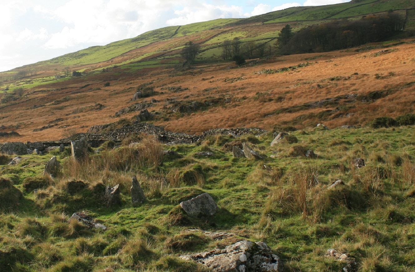
The single side slab is all that survives of this cist in a cairn, with Moel Hebog in ‘t distance


From Braich y Gornel. The large hut circle is on the bright green bit just below the centre of the picture, by the quarrying.


Your guess is as good as mine.


Mountain view from very near to Briach y Gornel

Looking over the bronze age landscape feature that is a Burnt mound through the gap of Rohan to some erm mountains?


looking over the hut circle to llyn Cwmystradllwyn, Moel Ddu rears behind it and left of that some pretty ugly quarrying yuk.


Looking over the hut circle and associated rubble mounds to the Irish Sea.

This is, Coflein says, probably a ring cairn with cist bits in it too.


The ring cairn can be seen in the later enclosure just below and right of the centre of the picture, and the hut circle just above it. Moel Hebog brooding darkly.

Looking across Llyn Cwmystradllyn to Moel Hebog.

From the kerb cairn by the north east edge of llyn Cwmystradllyn.

The biggest and bestest of the three lower circles

The end of the day

The second best circle

The second best circle looking a bit unrecognisable from this and almost every other angle.

Looking through the entrance of the big one

The big one and the smaller second one above and left.

The Afon Croesor runs right next to the site.

All I could find for the third circle was this tangled mess.