
The substantial cairn, surmounted by a trig point, as you first catch sight of it from the approach from the south-east.
Image credit: ryaner
The substantial cairn, surmounted by a trig point, as you first catch sight of it from the approach from the south-east.

The remains of the northern circle, with Slieve Glah in the distance.


Ditch at the south-west of the Rath of the Synods with the Mound of the Hostages beyond, Summer solstice sunset.


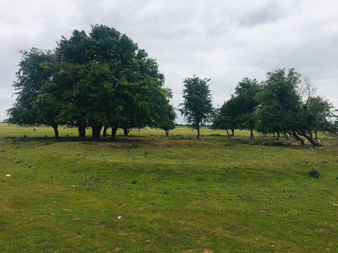
Calf House portal tomb beyond the ruined farmhouse.
A survey of ancient Irish genomes has found evidence that the parents of an adult male buried in the heart of the Newgrange passage tomb were first-degree relatives.
The research of the male’s genome suggests that he was among a ruling social elite which is similar to the inbred Inca god-kings and Egyptian pharaohs.
The study, which was led by archaeologists and geneticists from Trinity College Dublin, focused on the earliest periods of Ireland’s human history.
The team conducted a painstaking genetic analysis of the ancient bones of 44 individuals recovered from all the major Irish burial traditions court tombs, portal tombs, passage tombs and other natural sites.
Famous for the annual winter solstice, little is known about who was buried in the heart of the Newgrange passage tomb which was built over 5,000 years ago.
Small barow-like mound in a large pasture field outside the village of Dunderry. While my companion waited in the car, I hopped the field gate with enthusiasm, visions of Herity’s outlier passage grave spurring me on.
Not visible from the road as it is obscured by the rise of the low hill on which it sits, what we have here is, imho, a small barrow. The boulders that Herity mentions could be the remains of a kerb, but I doubt it – they looked a lot like clearance to me, embedded in the turf now, but hey, who am I but a lowly megalithic adventurer.
Possibly worth a quick diversion on your way from Tara to Tlachtga, probably not.
Herity, in Irish Passage Graves (1974), lists this as Me 71 and says “A much-ruined circular mound, about 12m in diameter and now standing only about 1m high, has 5 boulders set in an arc on the north-west side, probably the remains of a kerb. Other loose boulders lie a short distance outside the edge on the north side. The centre has been dug away. It stands on the highest part of a low hill about 76m (250’) O.D.”

Rath Laoghaire would have been an impressive monument in its day.

The western earthworks at Rath Laoghaire. Said to be a ceremonial enclosure 118 metres in diameter north to south, a little over a quarter of the embankments remain.


Taken from the south-west. The mound is oval and maybe a metre tall.

In its own little corral. The stones in this, the north-west sector, are thought to be possible kerbstones and the mound itself maybe a passage grave, and is listed as such in Herity. Eh...


Amazing bullaun stone, dumped in the middle of the river.


One of the strangest stones in all of bullaundom.

One of the single bullauns, with foot showing for scale.


Single bullaun with the monastic complex in the distance.

Browsing the map you see a row of nine barrows under 100 metres in length and reckon it’s worth investigating. What you find could be said to be madly underwhelming, and yet...
The Curragh is full of barrows, north of the motorway, south of the motorway, north-west of the racecourse, on the army rifle range, on the Kildare golf course, they’re everywhere. What was their purpose and who built them and when? Well there’s this on one of the ‘barrows’ on the golf course “Some of these possible barrows may in fact be lunging rings.” (Look it up – I had to.) Well you learn something new every day and the Curragh is very famous for horses.
But this group cannot be any of that other stuff. Aligned north-west/south-east, they are definitely there, small ditch rings with low central mounds. I struggled to see them, never mind photograph them, but was intrigued enough to persist. I can’t say they’re burial mounds with any certainty, but I’d recommend a visit if you’re in the locality.
The entry at archaeology.ie:
Class: Barrow – ditch barrow
Townland: CURRAGH (Kildare ED)
Scheduled for inclusion in the next revision of the RMP: Yes
Description: On a long, gentle S-facing slope. The northernmost of a linear group of nine possible barrows (KD022-090---- to KD022-098----) with two more ‘outliers’ at the N (KD022-089----) and S ends (KD022-099----). Visible on an aerial photograph (DoD 1999). The group form a gently curving line (L c. 80m NW-SE) and all comprise small, low, circular, flat-topped mounds (basal diams. 4.9-6.2m; upper surface diams. 2.8-3.4m; H 0.1-0.2m), all (except the most southerly (KD022-098----)) defined by faint traces of a fosse (Wth 1m). They are not evenly spaced and lie between 2m and 20m apart.
Compiled by: Gearóid Conroy
Date of upload: 10 June 2011


Pano looking south-east, back towards the racecourse.

One of two huge barrows, 1.5 kms west-north-west of the western edge of the racecourse.

The first barrow as you approach from Kildare town.
Barring Cairn T on Carnbane East and Cairn L on Carnbane West, it can be said that most of the passage tombs in the Loughcrew complex have been mildly to severely damaged down through the ages. Most of this damage was done at a time before modern archaeological practice had come into effect, and not all of the serious damage was done by sheer vandalism – a lot of the damage happened during investigatory work carried out under the instruction of our antiquarian antecedents.
Of the four hills of the Loughcrew complex, Patrickstown Hill seems to have fared the worst (Newtown Hill/Carrigbrack has only one cairn on its summit and it looks to me like it’s never been opened). Of the three X cairns on the western shelf of the hill there remains but a few scattered stones, with the sundial stone at X1 the main reason for a visit. Destroyed Cairn Y was the purpose of our visit today. The tantalising, but sad entry on archaeology.ie is worth quoting in full here:
This cairn (Y) is on a rise of the fairly broad summit of Patrickstown Hill. It had already been removed when Conwell (1864, 376; 1873, 23) described it as the most conspicuous of the entire cemetery. It had a diameter of 33 yards (c. 30m) but its stone was used by the owner, E. Crofton Rotheram, in building field walls. Although Rotheram had antiquarian interests this cairn was not investigated prior to its removal. The monument is now an irregularly oval area (dims c. 30m N-S; c. 20m E-W) defined by an earth and stone bank (Wth 3.5-5m; int. H 0.4-0.6m; ext. H 1.16m), the irregular shape and form of which suggests that it might be quarry spoil. There is no evidence of any stones in an original position. It remained unplanted but overgrown within a coniferous forest that was harvested c. 2015.
On my two previous visits to Patrickstown I had approached from the car-park at the viewing point on the east side of the hill. Opposite here is a track that leads through the mixed forestry, the early part of which is a welcome change from the ubiquitous pine plantations. Sun dappled through the young beech trees as we set off, having first visited the standing stone. The track heads around the south and west of the hill before turning north and terminating in the meadow with the three X cairns. X1 and X2 were visible here today, but X3, a single kerbstone from what I remember, has been inundated by gorse and brambles.
Turning our back to Carnbane East, we headed up towards Cairn Y. As it says above, this area was harvested in 2015 but the terrain becomes steadily more difficult as you head up towards the broad-based summit. This boggy area was re-planted and there are saplings, as well as brambles and the left-behind detritus to navigate before any discernible cairn footprint can be found. Short trousers are not recommended attire for traversing this area.
And then on to the remains. I’ve visited all of the other cairns in the cemetery over the four hills, so this was a bit of a pilgrimage (there may actually be a fifth, elusive cairn in Patrickstown – for another day). What is left here is very discernible, and would be even more so if there was a bit of care taken. I got quite emotional standing in the middle of the remains, breeze blowing through the grass at the centre of the cairn as the sun beat down. Rotherham left enough for us to be able to make out the circumference, the earth and stone bank mentioned above visible, but whether there was ever a passage and chamber, we don’t know and can’t tell from what’s left. Conwell’s assertion that it was “the most conspicuous of the entire cemetery” is some claim and given the enormity of Cairn D on Carnbane West, I have serious doubts.
I’m glad I came here and I’ll probably never return. Cairn Y hasn’t much to show for itself, but you can tell yourself your own story. It’s one of those places where it’s hard not to regret what might have been or what once was. Indeed, of all the places I’ve visited in Ireland on my own megalithic odyssey, Loughcrew has had the biggest emotional impact on me. The whole of the landscape, the monuments therein, the exertion to reach some of them – all have contributed to a sense of wonderment and awe. It’s not a place that I decide to come to – the decision is already made for me, drawn back time and again. Cairn Y doesn’t need to have been the ‘most conspicuous’ for us to imagine that its builders knew what they were doing, showing a reverence for their environment that we have since struggled to re-find.


Looking west towards Canrbane East, from the lip of the western bank of the remains of the cairn.

The bank on the east side of the remains is the raised area behind the trees.

The few remains of Cairn X2, to the left of the track, looking west.


On the western shelf of Patrickstown Hill, the scant remains of Cairn X1, looking across to Carnbane East.


