ryaner

ryaner

All posts 5,951-6,000 of 6,571 posts

Mount Venus

I’ve been at Mount Venus twice before and both times have left feeling puzzled. The massive capstone lies against a single large upright and there has always been precious little else to see due to a riot of vegetation. Doubts persist in the literature as to whether the capstone was ever fully raised or if this was a project begun and then abandoned, a bridge too far so to speak.

I stopped by the tomb today to see if I could clear up some of this confusion for myself. I had hoped that the growth was not as bad as usual given the time of year. I was even optimistic that someone might have cleared around the tomb as the last time I was here somebody had cut the elder tree at the tomb’s north end. No such luck, but the new year’s growth was only just taking hold and I was able to get a much better view of the monument after a half hour’s toil. Brambles, hawthorn, nettles and holly; my unprotected hands are showing the signs.

One of the problems I have in describing this tomb is that I don’t know the front from the back, where the supposed portal was, was there ever a doorstone etc. I’ve always thought of the front of the tomb as being the sloping capstone, the east side/end. I’ll use that as a guide.

I had never seen the stone at the front of this image megalithomania.com/show/image/5326 before. I was able to uncover it today. It’s almost 4 metres long by a metre wide and looks to have been dressed. What it’s purpose was, what part of the structure it belonged to, is beyond me. At the south end of the tomb is a stone with similarities to the one that remains standing. Did this once prop up the south end? I didn’t get a good look at it as I had had my fill of bashing brambles back for today.

Right in the centre of the stones is a large hawthorn tree with a parasitic holly tree at its side. A modern pit has been dug around the tree and is filled with plastic and glass bottles. I wondered why this site doesn’t have an official fógra beside it. A little time and a chainsaw would expose more of the monument and aid us in knowing a little more about what went on here back in the neolithic. There is more to find out from a survey of the site. I was left feeling slightly less puzzled when I took my leave. I’ll be back... with a machete!

Image of Colvinstown Upper III (Cairn(s)) by ryaner

Colvinstown Upper III

Cairn(s)

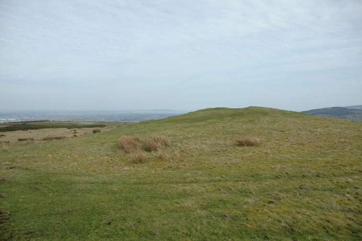
Looking over the cairn towards the Pinnacle of Baltinglass Hill. To the middle left of the shot you can make out the stumps of trees that were planted about 50 years ago onto the mound.

Image credit: ryaner

Colvinstown Upper

There are 3 cairns marked on OS sheet 62 at Colvinstown Upper. The Arch. Inventory of Co. Wicklow says they are all on a steep NW facing slope of the hill. Well, one is and the other 2 are more west-south-west. The largest and best preserved (the main one of this site) was not located by the inventory people back in 1989 due to heavy forestation. No more. The forestry have been at their task and in the process have made an unholy mess, practically destroying the 2 lesser cairns. They are a shambles and a disgrace. Would they do the same to Kilranelagh graveyard at the western foot of the hill?
We approached the scene of devastation from the tracks on the northern side of the hill, after spending a while at Boleycarrigeen stone circle. We circled around to the south first and spotted the main cairn up above the gorse line. It’s a long cairn, about 25 metres on it’s longer axis. It looks to have been robbed out quite some time ago, with some of the structural stones of its burial cist visible in a depression on its eastern side.
The views from here to the flat plain to the south and over west to the Pinnacle on Baltinglass Hill are lovely. I couldn’t help wondering at the significance of the placing of all 3 cairns, with the passage grave cemetery on Baltinglass Hill such a prominent visual feature.
The other 2 cairns are now a shadow of their former past. The most southerly and easterly, Colvinstown Upper III, may not last much longer. It’s a flattened dumping ground. Colvinstown Upper II shows some remains of its burial cist, but the forestry made a grievious error years back when they decided to plant pine trees in the mound.
All the forestry hereabouts has been cleared recently, and though not all the damage to these cairns is of a recent vintage, major damage has been caused in the last year due, I’d guess, to a callous indifference and an ignorance of our ancient past. This even goes so far as planting new trees on each of the 3 cairns.

Image of Boleycarrigeen (Stone Circle) by ryaner

Boleycarrigeen

Stone Circle

Fallen stones of the north-west arc of the circle. Boleycarigeen was clear of vegetation today. There’s lots of forestry work taking place in the vicinity so maybe the views from the circle will be opened up soon.

Image credit: ryaner

Glendasan River

These 2 bullaun stones are recorded by Price and he gives them separate letters in his recording system. They’re about 60 metres up-river from the caretaker’s house. You can’t really miss the larger one of the 2 which is in the middle of the river (actually, if you’re like me, you might). Why the stone is in the river is a great puzzle to me. My companion today seemed less confounded. The stone screams ‘Christian’ to me and, theorising only, might have had some sort of baptismal function and probably once stood with its bowl on the topside. The bullaun on the bank is much smaller and is more typical of the single basin bullauns that are found in abundance in Wicklow.

Glendalough Cottage

In the base of the wall about 10 metres from the gate of Glendalough Cottage, I’d been here before and totally missed this one. As stated, it’s a bit away from the gate and that’s how I didn’t see it (that’s my excuse and I’m sticking to it). Price records another one just inside the gate but we didn’t find it. It could be that it’s covered up or has been removed up to the house.

Image of Derrylossary Church (Bullaun Stone) by ryaner

Derrylossary Church

Bullaun Stone

There are reputedly 4 bullaun stones at Derrylossary. 3 are visible and relatively easy to find. The 4th is ‘missing’. This one is inside the church/graveyard enclosure, against the wall on your left hand side after you enter the gate.

Image credit: ryaner
Image of Cairn F (Passage Grave) by ryaner

Cairn F

Passage Grave

Wavy lines (serpentiform in archaeo speak) and diamonds/lozenges mark one of the passage orthostats of Cairn F. Get here in the winter as nettles cover this up in summer.

Image credit: ryaner

Miscellaneous

Poulawack
Cairn(s)

Excavated June/July 1934, cairn completely removed and “re-erected as nearly as possible in its former shape.” There were 10 graves/cists found, containing the remains of 16 people. Remains of 2 other people were found in the cairn itself, not in the graves/cists.
The excavators found it impossible to accurately date the cairn “except to say that it belongs to the Bronze Age.”
This is worth quoting extensively: “The most remarkable feature of the cairn is the fact that the ten graves contained the remains of no less than sixteen people, exclusive of course of the small traces of two others not actually in the graves. Especially noteworthy is the obvious planning of the entire mound around a central pair of graves which appear to have contained three generations of a family whose bones were probably brought from elsewhere to form the nucleus of the whole mound. It may not be too imaginative to see in this special regard for the remains of the dead, and in the accumulation of burials around the central ones some survival of the megalithic tradition which was so strongly rooted in County Clare.”

taken from: A cairn at Poulawack, County Clare
By H O’Neill Hencken, M.A., Ph.D., F.S.A.
Journal R. Soc. Antiquaries Ireland, Series 7 Vol V.

Miscellaneous

Laytown (An Inse)
Artificial Mound

Ninch
Arch. Inventory of Co. Meath states: “Tumulus. Circular mound (diam. 25m, H 6m) partially excavated and restored in 1979 by P.D. Sweetman (RMAHS 1982-83, 56-68) who demonstrated that it was a burial mound of the late Iron Age.”

Burren (Central II)

This is signposted off the trail as a ‘Boulder Burial Chamber’. I’m a little dubious about that classification. There are many large sandstone erratics in Burren (some of them signposted as well), some having landed on pavement similar to the stones propping this monster up. A little research is needed to see if a burial was actually found at this site.
The stone itself must be at least 50 tons. It’s so heavy that the corner stone holding it in place is not just fracturing so much as shattering slowly. There are more stones at the back of the ‘burial’ that seem to form a sort of cist. Hmmmmm...