

The entrance of the chamber after I had cleared the bracken away.
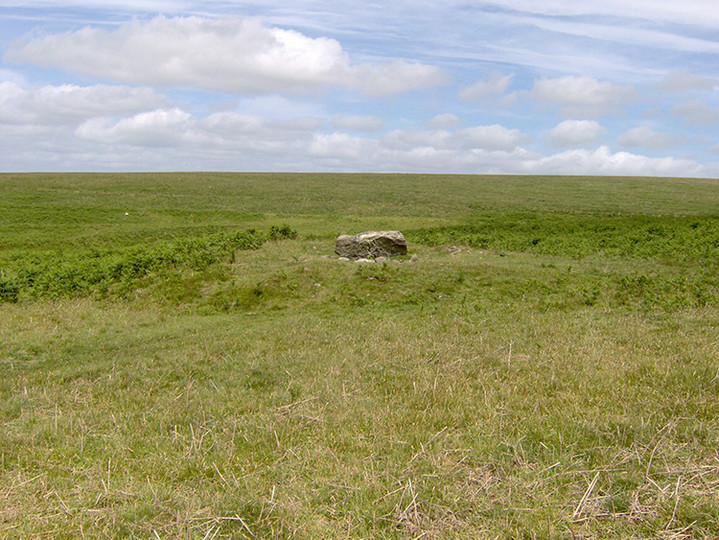
The cairn/kist stands in open moor just to the north of the Glaze Meet South Enclosure and only about six hundred metres to the southeast of the Glasscombe Corner Row. One side and one end stone of the kist are still in position,with a few other stones of the cairn around.
The row at Glasscombe Corner starts as a single row but changes to a double around a third of the way along, from the cairn end. There is a badly ruined cairn at the downhill end and there are two other cairns just to the west of the single row .
Two cairns stand on the top of the hill, around one hundred metres apart. They can be reached easily, if the old Redlake Railway line is followed from the foot of Western Beacon for about three kilometres. The cairns are on the right side of the track.
The Butterdon Hill Chambered Tomb lies around 500 metres further north along the same path as the Cuckoo Ball Tomb. It is in better condition than the previous one and as it is in the open moor. It does not appear to have been excavated. Once again it is best to visit in the early months of the year before it is taken over by the bracken.
The tomb stands just inside a newtake wall beside the track that runs from the gate at the foot of Western Beacon around it’s east side. It would be best to visit it, as I found when I got there, around February or March time as the rest of the year it is covered with bracken. There are around ten stones left at the northwest end ,two still upright.

The single row looking from the northeast.

The cairn at the head of the single row.

Part of the multiple row showing the six remaining stones of the cairn circle.

The single row looking from the southwest along the row towards the cairn. The chambered tomb is on the hill behind, with some very inquisitive steers on it.


The tomb looking from the southwest.

The stones at the south end of the tomb looking from the south.

The Longstone on Piles Hill, at SX654608, is thought to be the last stone of the row and stands just over two metres high. One of the boundary stones can be clearly seen beside it.

Hobajon’s Cross, one of the stones in the Butterdon Row, that stands on Piles Hill, has been Christianised by adding a cross. This stone is towards the northern end of the row at SX655605.

The Butterdon Row looking south from Hobajon’s Cross. The cairn can be seen on the hill in the distance. Some of the stones in this row have been added as boundary stones at a later date. These are quite obvious as they are perfectly shaped.

I found this photo I took in September 1996 from near the Heel stone,looking across the A303. Straw Henge.

The fallen stones next to the fourfold circle at the end of one of the double rows. This stone has been cut with G P to mark the boundary of Gidleigh and Chagford. The G P standing for Gidleigh Parish.

The cairn at SX630721. The cairn has been cut in half by the newtake wall. The photo is of the northern side. The gate post is possibly one of the stones from the cairn.

Three stones which lie across the hill in Joan Ford’s Newtake. They are at SX632720.
There are 2 cairns on Weatherdon Hill, which is to the north east of Ivybridge, that have been chosen to start the reconstruction programme. They are at SX651589 and within metres of each other. As you can see by the photograph they are in a quite bad state as the public take it upon themselves to move the stones around in order to make shelters. They have been surveyed in their present state and recorded and will be put back to how they were when first recorded. There are other cairns on the hill that will be done later.

One of the cairns on Weatherdon Hill that is going to be reconstructed by the Dartmoor Preservation Association on 15th July.

The row with the double section looking from the cairn end.

The kist in the cairn at SX591672. One of the best in the area,if not the best.
The cairn and kist at SX591672

The remains of a medieval longhouse built into the settlement.

The remains of a small cairn just to the north of the circle


Sunset on the kist in the southern row winter solstice 2004

The Menhir at Merrivale sunset winter solstice 2004.

The kist in the southern row at sunset on winter solstice.
The kist at Trowlesworthy Warren is one of the most accessible as it is close to the path that runs up from the confluence of the Blacka Brook and the Plym.The path goes past the warren house which is now a farm and heds up to the tor.The kist is around 50 metres to the left of the path where it meets the leat running to the clay workings.
This is a prominent cairn that has been dug into to reveal the kist which is still intact and has had the capstone levered to one side.It stands around 100 metres to the south east of the Tor so is easy to find as you walk up the Plym.
The kist in Joan Ford’s Newtake is in very good condition with all four side stones standing and the capstone resting on the south east side.The cairn is surounded by a small kerb that has been cut to the north edge by the newtake wall.There is another cairn that lies to the west along the wall that has been cut in half by the wall with stones on both sides.It is to the east side of a gate with one of the stones acting as the gate post and another used in the wall.The newtake lies to the south east of Royal Hill.
This kist is quite easy to find as it around 500 metres to the west of Horn’s Cross. This kist has only one side stone standing with two end stones and the other side buried beside it.
The seven kists that make up this group of cairn burials all lie to the north of Hen Tor and with the exception of one to the west of the Shavercombe Brook. One of them has suprisingly remained in quite good condition as it is very close to the warren boundry wall. The cairn across the Shavercombe is very prominent but only one side slab remains in position.
They are well worth a visit as it is one of only a few places on Dartmoor with many kists in such close proximity to each other. The Langcombe Group where there are eleven cairns/kists is only around a kilometer to the north east. They are within easy reach of each other so could all be visited in the same day,or a weekend of it could be made with a visit to Drizzlecombe as well.
There is not much left of the kist in this cairn.Only one of the end stones is in place and the cover stone lies on the edge of the cairn on the north side.The cairn itself is not all that big but is easily found as it lies between a field wall and a reave which runs east west and at the end of a wall that runs uphill from a small settlement that has been cut by the field wall of the plantation.
The cairn on the summit has obvious signs of modern adjustments but there is evidence of a kerb circle and other stones of the original cairn.The kist which is down hill to the north west is in quite poor condition,with only two side stones remaining standing and one of the end stones fallen between the two.
These kists are all within easy reach of each other,three of them being to the east of Goldsmiths cross and the other to the south just outside the newtake wall.The closest to the cross is in the poorest condition while the other two that are in amongst tin workings and are in better condition,one having almost a complete kerb around it.These are seperetad by the remains of a tinner’s hut.The one outside the newtake is odd in that one of the sides is made up of two stones.They are all easy to find by following the wall along the south side of Foxtor Mire.
The cairn/kist is in a part of the Dendles Plantation that has been cut down so is easy to find.It is situated just to the side of the path which runs through the wood and has had a marker put nearby to show where the kist is.
The kist is situated in wet ground around the head of the stream that runs through the Coombebrook settlement and is to the west of the Stalldown Row.
The two kists are to the south of Blakey Tor, one to the east side and one to the west. They are easily reached from the path which runs across Royal Hill. They are almost due north from The Crock of Gold. They are well worth a visit as the view north east from them is excellent, a good place to spend time over a coffee.

The barrow taken from the south east
The kist is within the east Aller Brook settlement .It is between 2 leats which run north-south through the settlement.It is around 300 metres north of the B3357 east of Combstone Tor.


A possible previously unidentified kist on Chittaford Down.Discovered by Peter Castle in March 2002.

The cairn/kist at SX610704 near Goldsmith’s Cross.
Le Trepied Tomb is situated on the west side of the island in the St Savior’s District.It is near to Le Catioroc on the edge of Perelle Bay.The tomb is easy to get to as it is on the side of the main road that runs around the island,and is close to a car park.There is nothing left of the cairn which covered the tomb.
Le Creux es Faies is on the far south west side of the island.It is situated on a small peninsula that juts out into the west side of L’eree Bay.It is easily found as it is on the right hand side of the road that runs up to the headland and is not far from a W.W.II Watch Tower that is very prominent on the hill.There is an entrance which is always open,so access is allowed.There is also a very informative notice board near to the entrance.