
The outer pound with the inner house.
Image credit: Peter Castle. ©
The outer pound with the inner house.

This chinese writing is carved on the tallest stone in the complex.


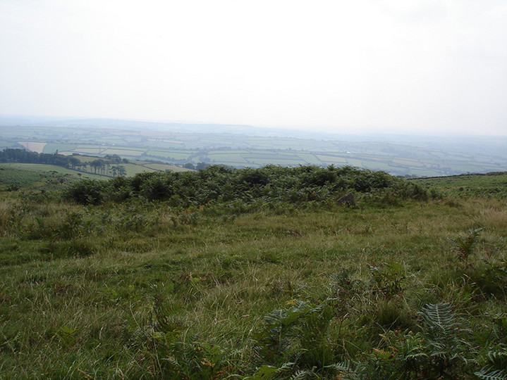
The reave runs from SX677840 in the north to SX667807 in the south. The section shown is where it runs towards the summit of Water Hill.


The southwest wall of the rownear to where it joins the reave that also forms the west wall of the Hurston Settlement.

One of the stones of the kist in the cairn. This cairn has been excavated and an urn with barbed wire markings was found inside the kist . This is now in the Plymouth Museum. The cairn was put back as it was when the excavation was finished.
It is at SX675827.

This cairn on Chagford Common takes it’s name from the nearby West Vitifer Mine.

One of the round houses in the settlement. This one is built on to the south wall.

Looking west along the southern wall of the settlement where it cuts through the row. This also happens at the Assycombe Row. The Hurston Row can be seen running left to right in the photo.

Part of the eastern wall of the settlement.

Looking up the row from the blocking stone. This double row is similar to the one only a kilometre or so away at Assycombe Hill in that it only has a blocking stone on the right had row looking up hill.

The last stone in in the left side row at the blocking stone end showing what could be the head of an animal.

The face on the last stone of the left side row.

The final stone in the left side row ,looking uphill towards the cairn, showing a head .

The last few stones in the row and the cairn.

The row looking from the cairn end.
These photographs, of the seven cairns, were taken on the 18th August 2005 while I was returning from a circular walk from Cantrell taking in the Cuckoo Ball , Glasscombe, Corrindon Ball, Butterdon Hill area.
The grid references I have used were taken from Jeremy Butler’s Dartmoor Atlas of Antiquities. I approched the Cairns from the north following the boundary stones from the top of Butterdon Hill down past Black Pool.

The cairn at SX65395757. This is the cairn that has been built on the summit of the Beacon.


The cairn at SX65455765, with the one at SX65475768 in the background.


The cairn at SX65475768 . The next one you come upon, there is also another one very close to this one.


There are seven cairns on Western Beacon. This is the first one seen when approaching from the north. It is at SX65545773.

One of the stones in this very overgrown row. A few of the others can just be seen going up the hill.

The cairn at the end of the row.


Looking from the southwest showing what is left of the cairn.

This cairn is one of many near Harford Moor Gate. It is at SX648597


The cairn at the north, down hill end of the row.

The two cairns which lie to the northeast of the row near the single section.

The row looking from the north from where the row changes from single to double.

The row at Glasscombe corner looking from the north.

The cairn at SX659602 also known as Glas Barrow.


The cairn at SX657604 at the end of the row close to the disused railway line.


The top of the row showing the last few stones and the cairn.

Looking down the row showing the round house on the left.

Looking down the row from the 12th stone from the top.

Looking up the row from the 12th stone from the top.

Looking down the row from the cairn. The blocking stone stands across the right hand row.

Looking at the entrance with a few stones visible.
The chambered tomb looking from the north. SX660585

Looking down on the concentric circles.

The cairn to the northeast made up of concentric circles of stone. SX666612.