OS map to give an idea of size of the monster...

OS map to give an idea of size of the monster...

just perfect.....

Looking west

View from eastern side.

Looking southwest with Kilmar Tor in the background.

Summit rocks on Kilmar Tor

One of the many hut circles to be found on the hill. This photo does not do justice to the stonework on the far side.

The cairn from the west side

Looking north towards Bray Down

Lovely stone wall on the west side of the hill...one of the many that cover this fascinating area.

Looking north.

Looking south

Looking towards Brown Willy, the four southern stones do not at first appear to be in a circle...believe me they are.

Looking towards the fort from further inland. The photo clearly shows the plateau at the centre of the view.

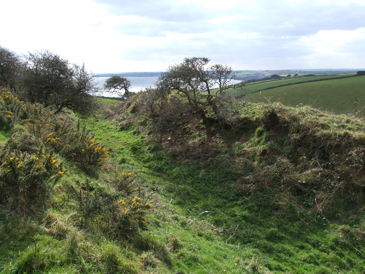
Ditch and banks looking south west towards the sea.

Hadn’t intended to visit the circles on Sunday afternoon but as I drove up towards Minions village a thin layer of mist formed just above the surface of the moor.
By the time I got out to the circle light was fading fast and proping myself against a stone I tried my hardest to capture the atmosphere with out too much blur..this is the best attempt.

...not really worth the walk...

Notice no centre stone, a later addition and I believe a boundry marker.
Also he says that the stones average three feet above ground...which makes those two gents about 4 ft tall!

Not sure where this ‘quoit’ was. Image is taken from Blights ‘Ancient Crosses and other Antiquaries in East Cornwall’ but I can not find the text to link with the image.

Published in ‘Ancient Crosses and other Antiquities in East Cornwall‘
Find it on Google Books...free to download


View from the Hurlers at sunset, cairn is right of ruin.

Slabs looking South East

The cairn from the SW on a sunny October afternoon. Natural rock formation built into left side.

Looking towards Brown Willy, Catshole Tor in middle distance left.
The two flat stones in the centre of the cairn may be natural, may be the remains of a chamber...who knows?

Chambered Tomb is supposed to be under this rock.

Sunset Oct 10th 2007

Sunset Oct 10th 2007

Looking from downslope, the size of the barrow can not be appreciated. Hump on left with gorse bush atop does not look like it was part of original barrow.

Close up of the tip of the menhir, nice collection of mosses and lichen.

Looking NE

Small cairn to the south of main group

Low cairn just to the side of the main summit cairn. capstone can just be seen right of picture

View of cap stone looking south east