


A short distance from the road, bare of bracken in the early spring sunshine, looking north.

The same circle, looking south towards Plymouth Sound.
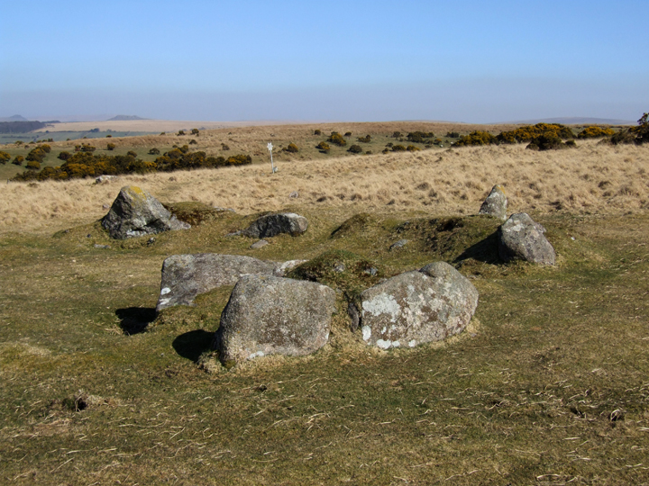
Is this the cairn circle? It is the only ‘circle’ in line with the row, although a little away from the end stone, beside the star post in the distance. I am still a little unsure..it could easily be a hut circle.

From atop of the waste tip you get a great view of the row running up the hill to the star post.

The end of the row...as far as we know. Did it ever continue under the waste tips?

Looking uphill (south) towards the star. The area around the row has been cut back, making it a lot easier to trace its route.

Looking north from the start of the row

Another nice little hut hidden amongst the stones of Catshole. Tolborough Tor in the background.

Thought to be small hut remains..these could easily be small cairns.

Thought to be small hut remains..these could easily be small cairns.

Smaller hut built using two large boulders.

Large hut from south east showing left hand wall built using the natural rock. Brown Willy in background.

Western half of main hut on Catshole


One of the 94 huts spread across the settlemant complex.


southern stone with Brown Willy in the background (north west)


Is it or isn’t it?
Situated in the middle of a post medieval field system, this circular enclosure has no entrance....so is it part of the earlier settlement or...

Just above the menhir is this nice hut circle...great views towards Stowe’s Hill.


The view towards Stowes Hill...can just make out the Cheesewring above the stone.


The main ditch on the eastern side of the narrow neck...a good 20 ft deep I would think. St Austell bay in the distance....Chez Hamhead in the very far distance!


View from the hedge...looking along top of stone..just for the hell of it!

..marks a gateway...but no evidence of there ever having been anything attached to the stone. Many other large stones lying around, especially in wall at top of field (just seen to right of stone)


