A view down the coast to the bay from Float Bay, taken from below Kemp’s Wark promontory fort. The dun’s promontory is to the right and below the distant high point towards the left of the image.


The only officially recorded extant stonework is to be found when climbing the area in the top middle of the image.

Looking down from the fort to the sheltered landing on the western side. Recent era rubble dumping on right, but possible contemporary stonework bottom left, unnoticed at the time of visit.

The sheltered inlet below the promontory fort’s western side, the probable reason for it’s existence.

The natural coastal defences below the dun looking north up the coast.

Galloway dyke in foreground, descending to cliff edge, L. Top of earthwork perhaps earlier than dun and contemporary to Slockmill enclosure visible at base of pole R of lighthouse.


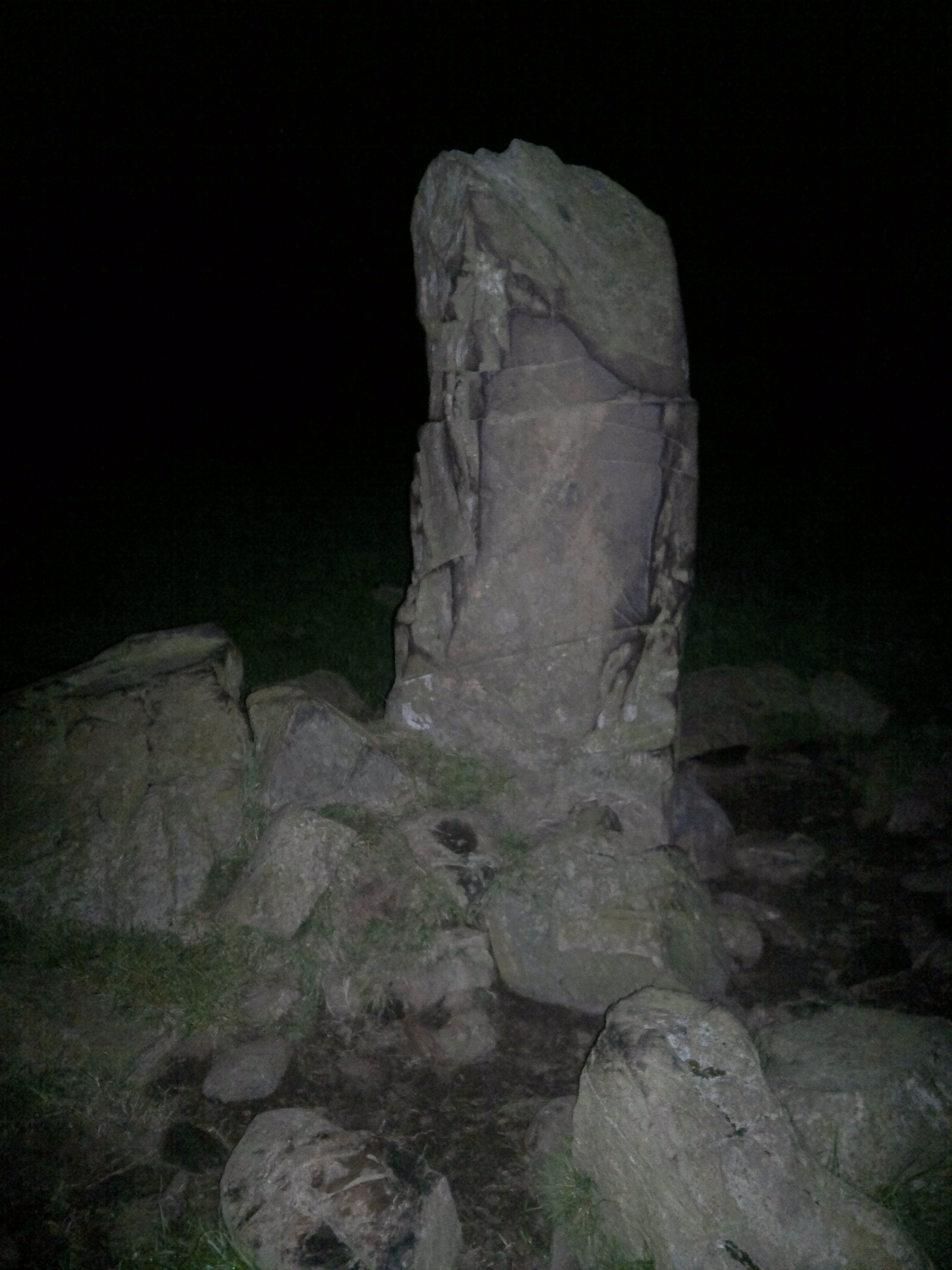
The promontory top, looking west. Most of the fort’s interior today is bare rock. No defences, possible cairn. Still a nicr place to visit on a sunny day, though.


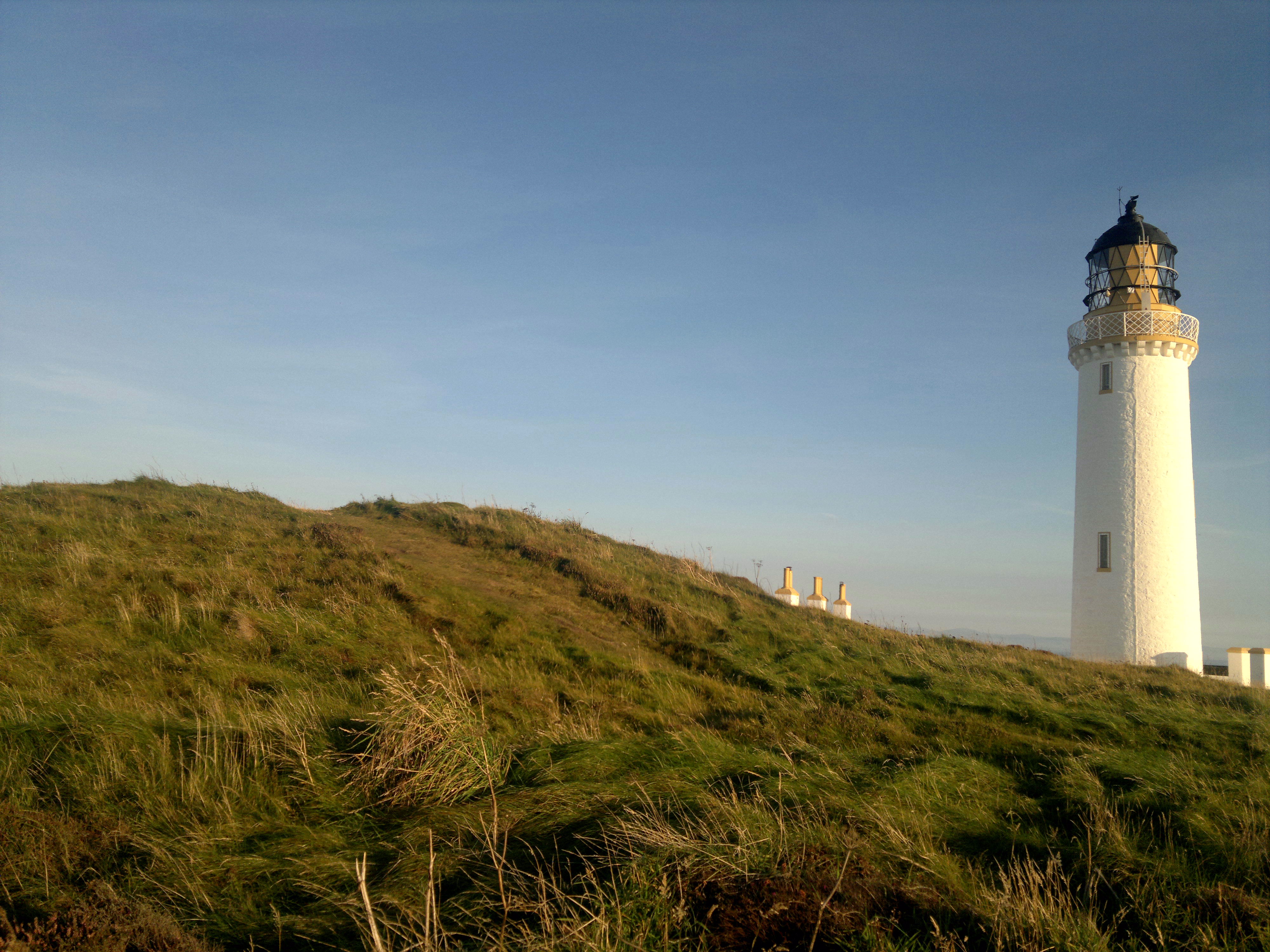


This is my most visited site..a dozen times or more. I love it here, standing on top, looking across to the Isle of Man, the Lake District, Whithorn, Snowdon on a very clear day, and the Irish coast...... watching the birdlife, the resident roe deer, the seething high tide, and, after dark, the beam of the adjacent lighthouse sweeping overhead. To find, just drive south from Stranraer till the road ends. Half an hour non stop, but see how many times you stop en route for scenery and sites, not least the superb triple banked linear earthwork, increasingly believed to be Iron Age, that you pass through near your destination. Park in the car park north of the lighthouse, visit Gallie Craig, the great eatery – with loos – cum travel centre and emporium, walk towards the light. The cairn is on the skyline, left, as you approach. As Canmore – ID 61039 – describes, it’s been knocked about a bit. Until recently there was a flagpole atop. Two watertanks have been incised into its western side. This site is symbolic, and deserves an entry in TMA for this if no other reason. Like so much of Scotland’s ancient archaeology, degraded by the millennia and man, but still a prescence, battered but unbowed. It is the country’s most southern site. ‘Just’ a cairn... but a nation’s archaeology starts – or ends – here.


A blog by a walker who has stomped all over Dumfries and Galloway in all sesons solo and with other ramblers. Many sites visited despite these being in a by the by context. Many photos, highly ‘visually informative’ despite the frequent presence of lines of walkers therein. Good as a reference for routes and permitted access too. Site dormant since May 2015 following his involvement with an online admirer..hope all ok there. For practical purposes Google Glebe Blog and then destination or location you’re interested in. MoG, Torhouskie, Cambret, you name it, he’s probably been. I’ve found this site invaluable and therefore recommend it highly.
Hundreds of flint tools have been unearthed during excavation work prior to constructiom of Lincoln University’s Isaac Newton Building. They include tiny cutting blades and are up to 11000 years old.


Apparently if you stand on top of the Wren’s Egg on Midwinter’s Day the Sun will set over Big Scaur – Scare on the OS – a large rock in the middle of Luce Bay. On every other day it sets further west. I remain interested whether this alignment is reflected in the two stones I found embedded in the stone dyke E of the site though accept that they are most probably of later date. I would also like to return to double check whether the Wren’s Egg erratic is held in place by any visible chocking stones, indicating rolling into its present day position, perhaps in relation to this solar alignment.