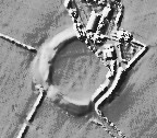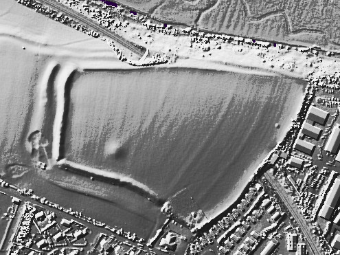
LiDAR Composite Dataset.
Contains public sector information licensed under the Open Government Licence v2.0.

LiDAR Composite Dataset.
Contains public sector information licensed under the Open Government Licence v2.0.

Open Source Environment agency LIDAR

Open Source Environment agency LIDAR

Open Source Environment agency LIDAR

Open Source Environment agency LIDAR

Open Source Environment agency LIDAR

LiDAR Composite Dataset.
Contains public sector information licensed under the Open Government Licence v2.0.

LiDAR Composite Dataset.
Contains public sector information licensed under the Open Government Licence v2.0.

Open Source Environment agency LIDAR

Open Source Environment agency LIDAR

Open Source Environment agency LIDAR

Open Source Environment agency LIDAR

Open Source Environment agency LIDAR

Open Source Environment agency LIDAR

Open Source Environment agency LIDAR

Open Source Environment agency LIDAR

Open Source Environment agency LIDAR

Open Source Environment agency LIDAR

Open Source Environment agency LIDAR

Open Source Environment agency LIDAR

Open Source Environment agency LIDAR
Hard to see, but if you use the ground plan I’ve linked, you can just make out the cursus going through the central field.

Open Source Environment agency LIDAR

Open Source Environment agency LIDAR

Open Source Environment agency LIDAR

Open Source Environment agency LIDAR

Open Source Environment agency LIDAR

Open Source Environment agency LIDAR

Open Source Environment agency LIDAR

Open Source Environment agency LIDAR

Open Source Environment agency LIDAR

Open Source Environment agency LIDAR

Open Source Environment agency LIDAR

Open Source Environment agency LIDAR

Open Source Environment agency LIDAR

Open Source Environment agency LIDAR

Open Source Environment agency LIDAR

Open Source Environment agency LIDAR

Open Source Environment agency LIDAR

Open Source Environment agency LIDAR

Open Source Environment agency LIDAR

Open Source Environment agency LIDAR

Open Source Environment agency LIDAR

Open Source Environment agency LIDAR.
The cursus is clearly visible to the left of the bank barrow monster

Open Source Environment agency LIDAR

Open Source Environment agency LIDAR

Yet more mindless damage at nine ladies