
The inevitably scooped out centre of the cairn.
Image credit: A. Brookes (13.9.2022)

The inevitably scooped out centre of the cairn.

There are quite a few natural outcrops around (and presumably under) the cairn.

Craig y Dinas at the end of its rocky ridge, centre. Llyn Irddyn can be seen over to the left. Llawlech and Mynydd Egryn form the ridge behind, which I’ll be getting to rather later in the day. The viewpoint is the slopes of Moelfre to the north, as I paused for breath.

Looking ENE towards Moelfre.

Fragmentary hut circle remains. Looking towards the distant Nantlle ridge, Moel Hebog and Yr Wyddfa.


A new dawn, a new day, feeling good.

Moelfre looking both steep and far away, but at least it’s free of cloud and rain.


Early morning, Dyffryn Ardudwy.

Diffwys presents a shapely profile from the southeast, seen on the far left in shot. Y Garn (cairnless despite its name) is just left of centre, with Rhobell Fawr (I think) peaking over the crest to the right of centre. The far horizon on the right is formed by the awesome ridge of the Aranau range. Afon Mawddach is below, the viewpoint is Ffridd Gorllwyn (The Panorama Walk).

Tyrrau Mawr on the right, seen from Ffridd Gorllwyn (aka The Panorama Walk) across the Afon Mawddach. The cairns are to the left of the cliffs. The summit of Cader Idris broods in shadow on the left.

Craig-y-Llyn is the summit in the centre of the image. The cairn is at the right hand end of the summit ridge. Over on the far left in shadow is the summit of Cader Idris, with the precipitous cliffs of Tyrrau Mawr to the left of centre. The hill on the right is Braich Du.
The viewpoint is Ffridd Gorllwyn across the Afon Mawddach estuary.

Golden light on the fort at the end of a beautiful evening stroll up from Barmouth.

The rocky fort from the north. There’s no obvious sign of man-made defences from this angle.

Landscape context from the SSW. The viewpoint is the site of Magnis, a Roman Town. The residents had a first class view of the former stronghold of the conquered locals. I wonder how the fort looked then?

Further landscape context, from Common Hill to the NNW.

Landscape context, the fort seen from Fishpool Hill to the north. The ground drops to the River Wye on the right.

The massive inner bank on the south side of the fort.

Looking west along the northern rampart from the eastern end of the fort.

The inner bank on the south side of the fort.


The overgrown ditch between the inner and outer banks, western end of the fort.

The fort from the northeast on the Wye Valley Walk.


The highest point of the fort, looking towards May Hill.


Chase Wood Hill from Bull’s Hill to the SSW.

Landscape context for the fort (centre skyline) from fields near Youlgreave as we near the end of our walk.




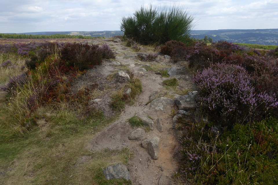

Detail of kerb stones protruding through the heather.

