
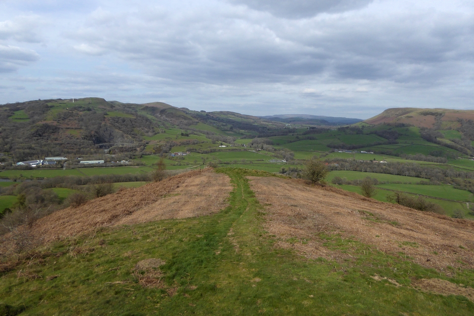
Western cairn, looking east towards Pen y Brynfforchog, with Glasgwm to the left. The eastern ring cairn is somewhere in the near-distance, but I didn’t look for it.
Image credit: A. Brookes (18.4.2023)
Western cairn, looking east towards Pen y Brynfforchog, with Glasgwm to the left. The eastern ring cairn is somewhere in the near-distance, but I didn’t look for it.

Western cairn, looking north towards Rhobell Fawr.

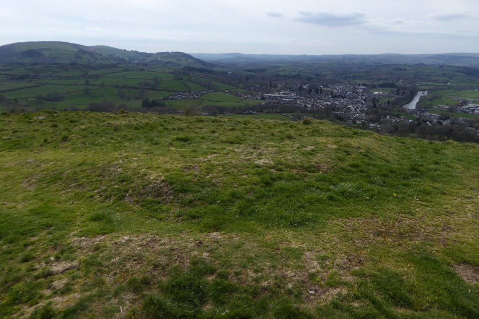
The western cairn, looking south towards the Dyfi hills.

Aran Fawddwy seen from Glasgwm to the south. The intervening ground is mostly a bog, crossed by a hilariously rotting series of narrow planks which threaten to snap, or tip the unwary into black depths.

Aran Fawddwy, with Creiglyn Dyfi nestling below. From Drws Bach to the south.


Looking east along Llaethnant, the nascent Afon Dyfi. Buffeting winds kept me from getting any closer to the drop.

Looking north towards Aran Benllyn, quite the contrast to the zero visibility as I slogged over that mountain an hour earlier.

Looking towards the unmistakable profile of Cader Idris, right skyline.

The cairn is built onto some massive outcrops.

First sight of the cairn after climbing the ridge, as the morning fog finally lifted.
Coflein descriptions:
Western cairn (SH8010718561)
Located on the crest of a ridge. A cairn of stones and boulders, approx. 8m diameter, the edges part turf-covered. The centre was scooped out when a shooting butt was built inside it in the C19.
A ring cairn (300459) lies a short distance to the E.Recorded as part of RCAHMW Uplands Initiative Project, W B Horton, H&H, 12/10/2012.
Eastern ring cairn (SH8021218589)
A ring of stones 11.5m in diameter, 2m thick and 0.2m high. The ring of stones is well defined and has no gap. The interior is level and largely stone free. Approximately 100m to the W is another cairn (nprn 300458).
Recorded as part of RCAHMW Uplands Initiative Project, W B Horton, H&H, 15/10/2012.

The probable cairn that we hadn’t seen on the previous visits. To the north of the others, this is presumably cairn IV.

The new-to-us cairn, looking across Watch House Bay.

Denuded rim of a likely cairn to the north of the cairns we’d found previously.

Looking south over the earthwork. Banc y Celyn on the right, the tops of the Black Mountains just visible on the skyline to the left of centre.

Looking northwest up the Gwy/Wye valley over Builth Wells. I think the skyline must be the Elenydd mountains.
Looking northeast. The Radnor Forest mountains (centre skyline) are framed between the Carneddau on the left and Aberedw Hill on the right; all of which have a array of archaeology.

The trig is adorned by a Bronze Age classical Greek warrior, for some reason.

The earthwork at the south of the enclosure. Looking east over the Gwy/Wye to Aberedw Hill.

Approaching the hilltop enclosure along the ridge from the southwest.

Looking down on Garth while descending from Banc y Celyn to the south.

General view east across the circle. The Afon Gwy/Wye is out of sight below.


Shattered slab in the southern arc, looking towards the top of the hill. The slab isn’t set radially in an alignment with the arc, as might have been expected. There’s also a couple of half-buried flat slabs close by, which may be displaced and fallen circle stones.

Very small stone in the northern arc in the foreground.

Looking south to the great escarpment of Bannau Brycheiniog/Fforest Fawr/Y Mynydd Ddu. The upright in the foreground has been shattered down to ground level, presumably by millenia of frost and water.

The best-preserved upright in the circle, looking southeast towards the Black Mountains.

General view northeast across the circle. The distant mountains in the centre are Radnor Forest, there’s a ton of remote archaeology on the hills in between.

The peculiar slab-in-bank arrangement to the west of the circle, noted by previous visitors. I came across this on my way to the circle from the summit of the hill.


The slab set on edge to the south. Banc y Celyn stone circle is on the hill beyond.


Looking south-ish across the cairn. Pen y Fan on the skyline, right of centre.

Twyn y Garth is the prominent hill in the centre of the image. Seen across the Gwy/Wye from Twmpath to the west.

Towards the northwestern escarpment of the Black Mountains.

Looking towards the two round barrows at the northeastern tip of the summit ridge.

With Banc y Celyn on the skyline across the river.


Looking west across the Gwy. The gun is a German howitzer from World War I, placed on the hill as a war memorial.

The point where the eastern annex joins the main fort’s rampart.

The eastern rampart of the main fort, looking towards The Begwns.


Looking towards The Begwns, Hay Bluff/Pen y Beacon and Twmpa.