
The dished top of the southern barrow.
Image credit: A. Brookes (8.4.2023)
The dished top of the southern barrow.

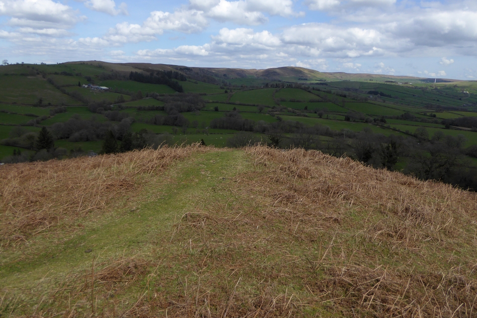
The southern barrow from the northern one. The Black Mountains and Mynydd Troed over on the left skyline, with Pen y Fan and Corn Du over on the right.

Looking north towards Llandeilo Hill.
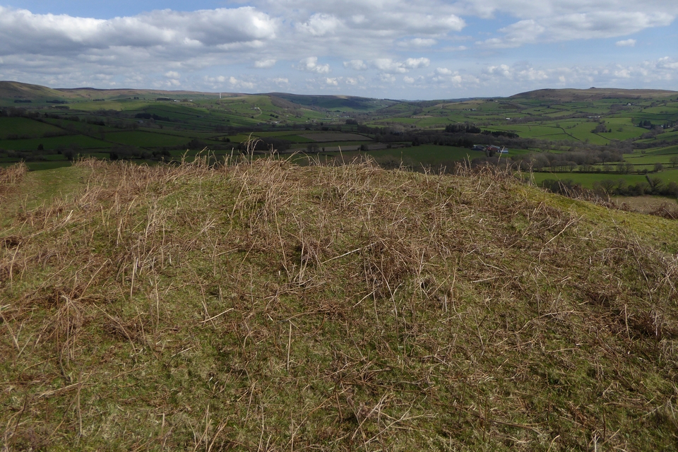
The southern barrow, looking northeast towards distant Llanbedr Hill, with the Begwns over on the right.

The northern barrow on the left, the southern on the right. Looking northeast.


There’s a fist-size chunk missing on the back of the stone, whether from erosion or some man-made reason I don’t know.

Looking southeast; Black Mountains on the left skyline, Mynydd Troed the prominent outlying hill centre skyline.

Looking east towards Afon Gwy/River Wye, out of sight at the end of the field.

This is a great stone; how much is underground to support this much of a lean?


A good place to appreciate sedimentary rocks; western tip of the fort promontory.

Looking across the Hafren towards North Devon from the fort interior.

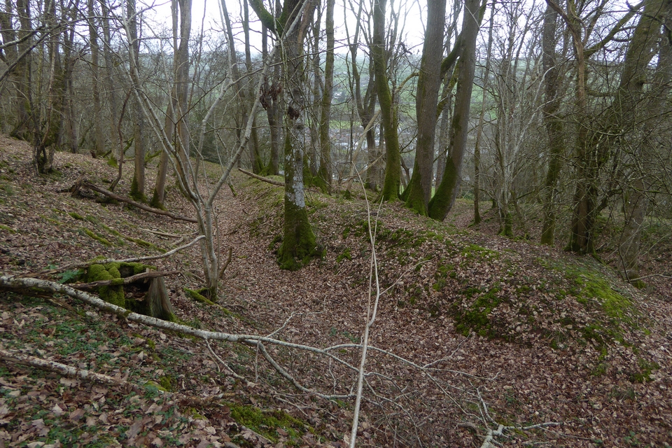
The inner rampart on the east side of the fort.

The inside of the outer rampart on the east side of the fort, from the inner ditch. Impressive earthworks!

The muddy Wales Coast Path crossing the outer rampart on the east of the fort.

Looking along the coast towards the fort (left of centre, with St Donat’s Point beyond) from Stout Point to the east.

Steps crossing the outer western rampart near the coastal watch house.

The inner western rampart. The ruins of the Summerhouse which give the site its name can just be seen on the right.

The western ramparts boast some superb hart’s tongue ferns.

Steps built into the inner western ramparts where the Wales Coast Path crosses the site.

The view across the Hafren from the fort, looking towards Somerset. It’s unclear whether the fort would have extended much further outwards from here but the cliffs are crumbling and eroded.

The western ramparts, still accessible but very overgrown.

Looking east along the northern ramparts, now regrettably fenced off by the new owners.

The new owners aren’t keen on visitors.

The northwestern panorama of the Black Mountains from Pen-rhiw-wen (this is taken from just outside the fort to avoid the trees).


There’s a break in the banks where a stream cuts through, it’s not clear whether this was the case when the fort was in use, but the stream follows a natural course above the earthworks.


The open interior of the fort, looking towards Pen y Beacon and Twmpa, Black Mountains.


Multiple banks on the western side of the fort.
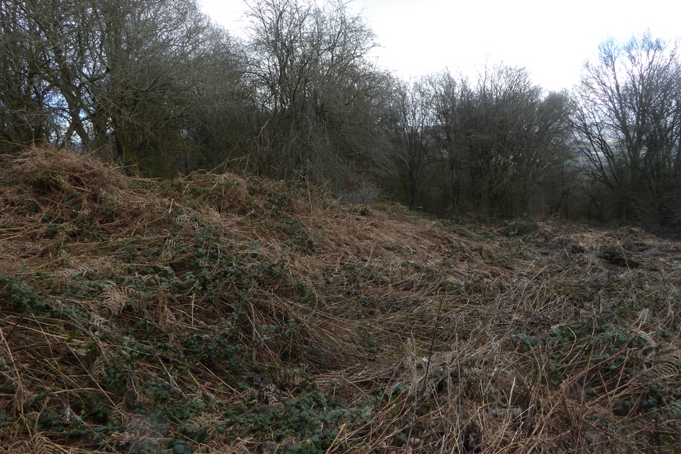
The southern end of the western bank, very overgrown even in March.

Looking southeast across the enclosure towards Pen y Beacon/Hay Bluff. There is a great panorama of the Black Mountains from this ridge across the Gwy, but views from the enclosure are mostly blocked by trees.

Underneath the swathes of dead vegetation there’s quite a decent earthwork.

Where the western bank is cut through by the minor road.

The northern bank, curving round towards the right of the image.

Looking northwest across the overgrown interior of the site.


Looking across the multiple lines of defences from inside the fort.


The steep drop from the fort down to the valley to the west.

Looking north from the hillfort. The prominent hill on the skyline is Garth Hill, topped with some very large Bronze Age barrows.