
Detail of the bank, looking towards Cors y Carneddau.
Image credit: A. Brookes (1.4.2018)

Detail of the bank, looking towards Cors y Carneddau.
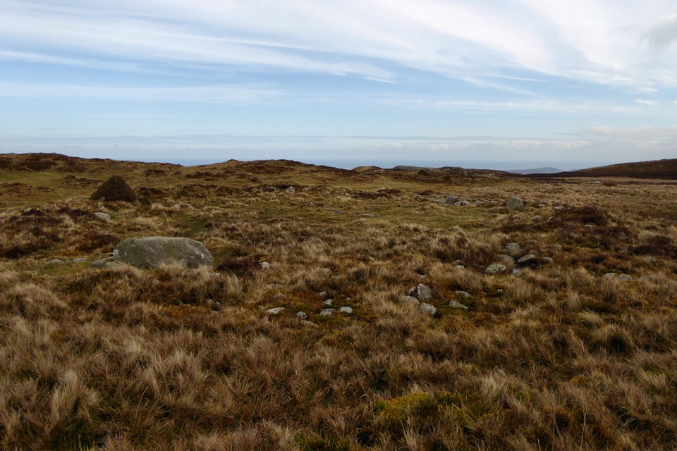


Stones inside the kerb of the ring cairn.


The kerbed cairn with Tal y Fan under a brief crack in the clouds, and Moelfre to the right.

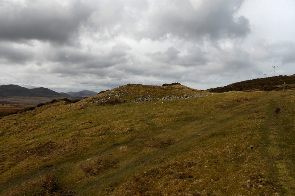
From the east. The distant hill immediately to the left is Moel Wnion, with its own cairn.

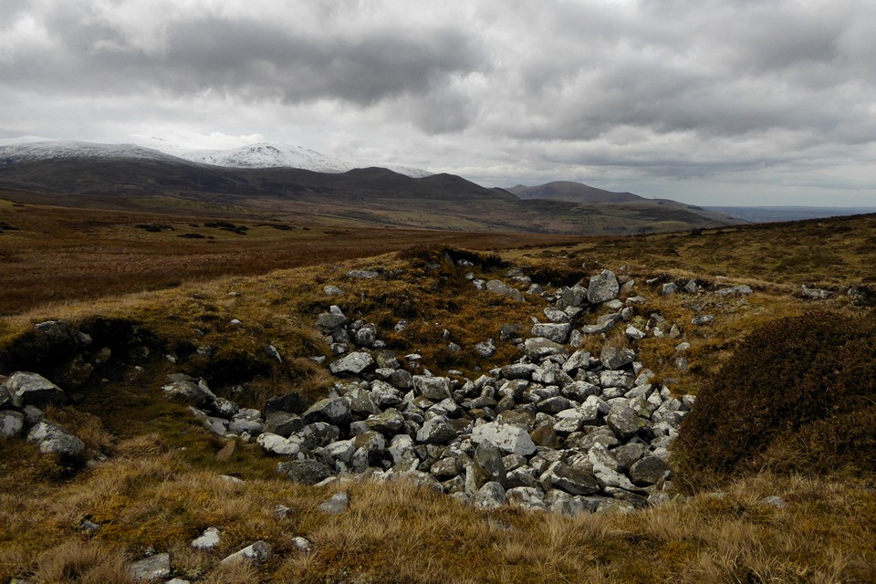
The damaged top, with the high Carneddau ridge covered in snow beyond.

With large slab in the foreground and Moelfre behind.

Approaching from the west. Apparently we have Henry VIII to thank for the wild Carneddau ponies.

Looking down on Dinas from the slopes below Penmaenmawr/Braich y Dinas. Snow-covered Foel Fras behind.

High-level landscape context for the stone on the slopes of Garreg Fawr. The snow-covered Carneddau rise behind. The flat-topped hill in shadow to the left is Dinas, an Iron Age settlement site.

Gloomy Maes y Gaer on the left of the valley, seen from Traeth Lafan near Abergwyngregyn.

Moel Wnion (left), Lefn and Moel Faban, seen from Llandegai to the north. The snowy higher slopes of the Carneddau are hiding in the clouds.

Across Cwm Pennant to Foel Cwm Sian Llwyd.


The cairn is disappearing into the flora.

Looking down on the Nany y Waun. The Y Aran cairns are on the other side of the ridge.

Looking along the low bank. The Arenigs can be seen on the distant skyline.

The little stone up the hill from the cairn. With hindsight I think it was built into a bank, probably part of an ancient field system, the low remains of which can be seen on either side.

Showing the kerb – possibly a double kerb.

Looking southeast along the Nant Cwm Twywll, with Nant Esgeiriau over to the right. There are many more monuments on the slopes ahead around these streams.

Looking south towards the Nant y Waun, with the Berwyns ridge ridge above.


Once you know it’s there, the bank is obvious. But easy enough to walk straight past if you’re not looking.

Detail of the northeastern arc of the ring cairn, the head of Cwm-pen Llydan behind.

Large concave slab just below the ring cairn, which is immediately behind.

The eastern arc of the bank, with Carnedd y Ci rising behind.

General view of the ring cairn, looking northwest down the Nant Cwm Tywyll.


What looked to us to be a section of double kerb.


The “shelter” and cairn and the long, long view.

Despite the ravages it’s suffered, this is an excellent site.

What looks like large retaining kerb stones on the edge of the cairn.


The chamber, with the Yr Aran ridge rising behind.

Looking down on Cwm Pennant across the central chamber.

Yr Aran III, a low cairn concealed by reedy grasses, lying between the larger cairns up the hill and the main concentration by the trees.

Yr Aran IV, up the hill near to the quartz-topped Yr Aran II. Not the best cairn, but the placement is top notch, with great views westwards towards the Arenigs.


Yr Aran II. The main Yr Aran group is in the lighter area in front of the trees to the right.

Yr Aran II, the finest cairn in the whole cemetery, topped with quartz blocks.