The changing face of fortification. Castell Caer Seion overlooks the medieval walled town and castle of Conwy. Both sites command the approach over the Afon Conwy from the east.
Image credit: A. Brookes (22.4.2018)

The changing face of fortification. Castell Caer Seion overlooks the medieval walled town and castle of Conwy. Both sites command the approach over the Afon Conwy from the east.

The rampart along the southern side of the eastern section. Natural slopes play a large part.

Neat hut circle towards the eastern end of the fort.


Looking from the Citadel towards the eastern part of the fort.


The massive stone rampart of the Citadel at the western end of the fort.

The entrance, with impressively surviving stone courses on either side.

Another view of the circular structure to the south of the entrance.

Strongly walled circular structure to the south of the entrance to the “citadel”.


At the northeast corner the rampart incorporates natural outcrops. There’s a Bronze Age burnt mound partly covered by the little lake.

Northern rampart – it’s a long way down...

The northern rampart. The tip of the Great Orme can be seen, top left.

The stone rampart. Tal y Fan rises on the right skyline.

Looking west towards Foel Lus and Penmaenmawr. The village below is Dwygyfylchi.

Looking east from the rampart towards the Conwy valley. The prominent hill on the left is crowned by the larger Castell Caer Seion hillfort.

The southern flank drops away to the Sychnant Pass.


The Conwy valley and Cerrig-y-Ddinas (far right) from the hill above Llyn y Wrach to the north.


The ring cairn from above. Maen Crwn standing stone and Red Farm stone circle are located across the valley.

The hut circle uphill from the ring cairn. The ring cairn is in the area below, but hidden from view by the crest of ground running along the hillside.


Showing the approximate direction of the ring cairn in relation to Lyn y Wrach.

Small clearance cairn just across the field from the circle.


Looking east-ish. The Llyn y Wrach and Waen Gyrach cairns are up on the hills behind.

With Craig Hafodwen the craggy hill behind.

Maen Crwn standing stone is over the wall in front of the trees.


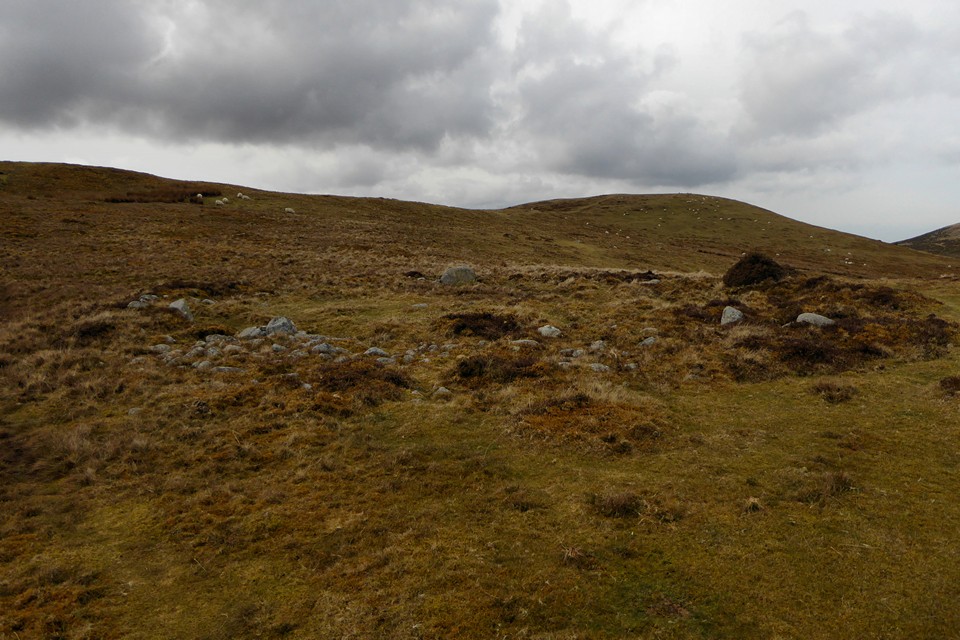
The SMR suggests that the stones visible in front of the mound might be the remains of a circle.

With the Druid’s Circle on the skyline, right, with Circle 275 below it.


Looking east. Fridd Wanc cairn (and possible circle) is under the telegraph pole on the left.


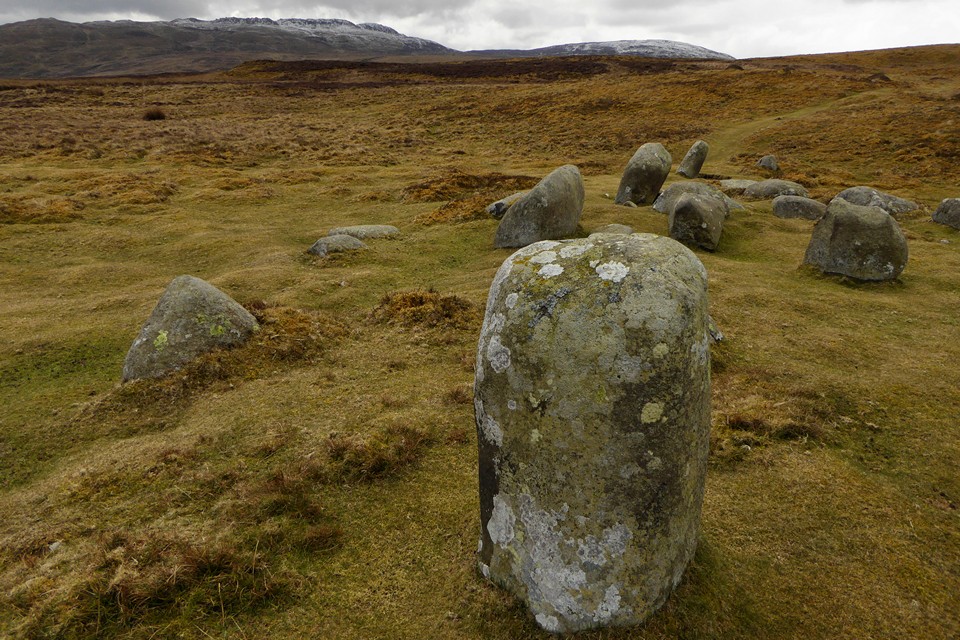


I bet they don’t know what it is either.